Explore
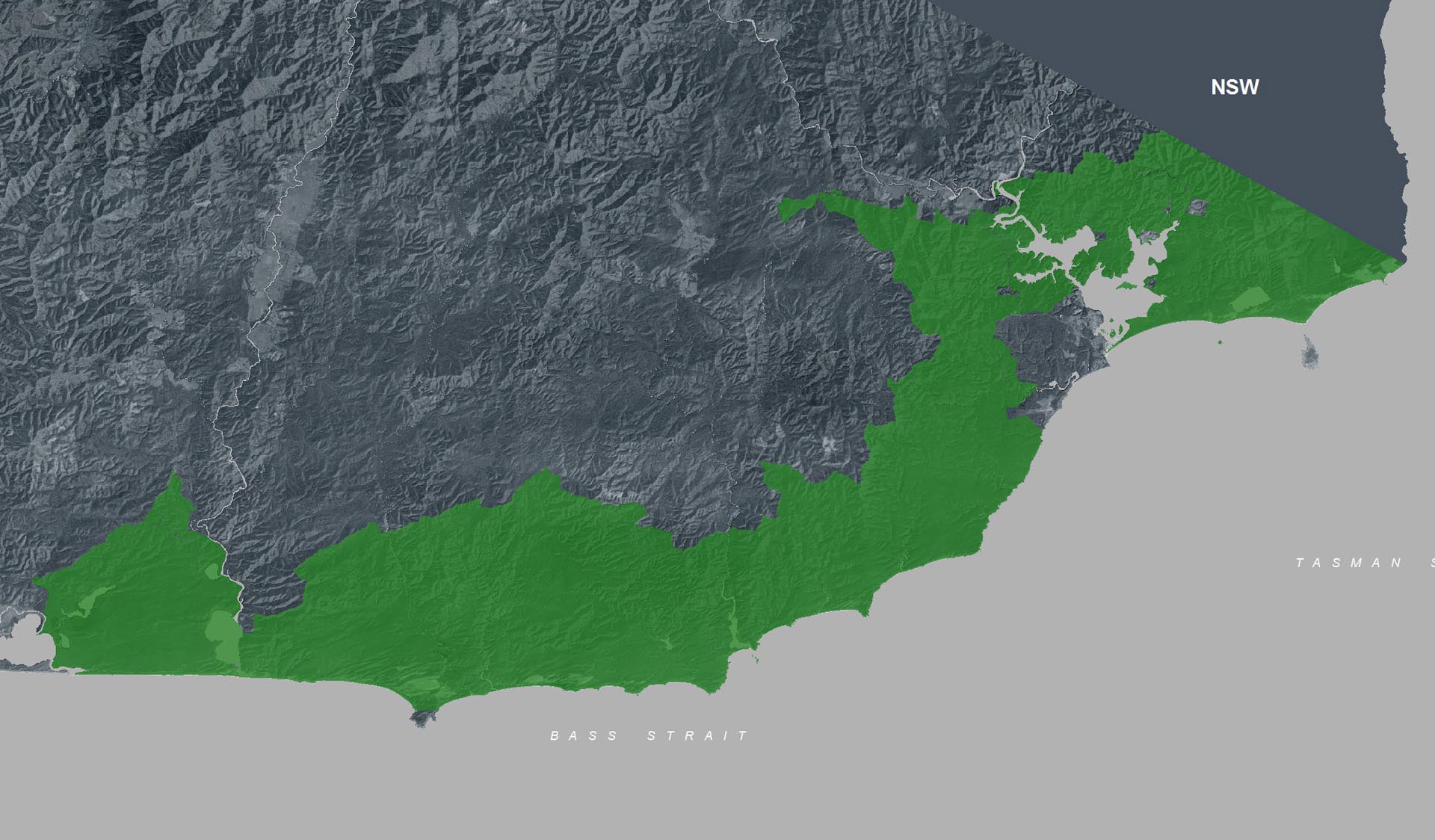
Captain Creek (Croajingolong National Park)
How to get there
Captain Creek (Croajingolong National Park)
Facilities
Need to know
Captain Creek (Croajingolong National Park)
Safety in nature
You can benefit both mind and body when you get outdoors to explore and experience Victoria's natural places. Before you go, take a look at our safety tips and check our changed conditions and closures information for a great visit.
Accessibility
Visiting a park can be more of a challenge for people with disabilities, however, in Victoria there are a wide range of facilities to help people of all abilities enjoy our wonderful parks around the state. Parks Victoria provides a range of a equipment, including all-terrain and beach wheelchairs, facilities, accommodation and accessibility information and programs to help you plan and enjoy your visit to Victoria's parks.
Assistance dogs are welcome in Parks Victoria parks and reserves. Entry requirements apply for parks and reserves that are usually dog prohibited, such as national parks.
Warnings & Restrictions
Dogs
Restrictions
- No generators
- No vehicles
- No firearms allowed
- No motorised vehicles, including electric bikes or scooters allowed on management vehicle only paths, tracks or roads
- No fires permitted
- No horses
- No dogs allowed
- No camping
Warnings
-
Other warnings
- Trees may fall take care
- Limbs may fall take care
-
Animals and pests
- Ticks
Be Prepared
Change of Conditions
Nature being nature, sometimes conditions can change at short notice. It’s a good idea to check this page ahead of your visit for any updates.
Closure of the Goanna bay Jetty
Croajingolong National Park information update 12 February 2024
Aerial shooting operations targeting deer
Attachments: Croajingolong NP aerial operations information (523KB)
Aerial shooting operations targeting deer – Cape Howe
Attachments: Cape Howe aerial operations information (632KB)