Explore
Eagle Nest Picnic Area (Dandenong Ranges National Park)
How to get there
Eagle Nest Picnic Area (Dandenong Ranges National Park)
Facilities
Need to know
Eagle Nest Picnic Area (Dandenong Ranges National Park)
Safety in nature
You can benefit both mind and body when you get outdoors to explore and experience Victoria's natural places. Before you go, take a look at our safety tips and check our changed conditions and closures information for a great visit.
Accessibility
Visiting a park can be more of a challenge for people with disabilities, however, in Victoria there are a wide range of facilities to help people of all abilities enjoy our wonderful parks around the state. Parks Victoria provides a range of a equipment, including all-terrain and beach wheelchairs, facilities, accommodation and accessibility information and programs to help you plan and enjoy your visit to Victoria's parks.
Assistance dogs are welcome in Parks Victoria parks and reserves. Entry requirements apply for parks and reserves that are usually dog prohibited, such as national parks.
Warnings & Restrictions
Dogs
Restrictions
- No fires permitted
- No camping
- No horses
- No dogs allowed
- Restricted opening hours
- No drones without a permit
- No generators
- No firearms allowed
Warnings
-
Other warnings
- Trees may fall take care
- Limbs may fall take care
-
Animals and pests
- Snakes
Be Prepared
Change of Conditions
Nature being nature, sometimes conditions can change at short notice. It’s a good idea to check this page ahead of your visit for any updates.
Olinda Falls Toilet Closed
Wattle Track Bridge Closure Update
Olinda Falls Lower Viewing Platform - update
The Olinda Falls lower viewing platform is currently closed due to severe damage caused by a fallen tree. All access to the lower falls area is closed to the public. The viewing platform is expected to be replaced sometime in 2024.
Mechanics Track closed between Mt Dandenong Tourist Road and Falls Road
- Mechanics walking track from the Mt Dandenong Tourist Rd through to Falls Rd is closed due to significant damage from the June 2021 Storm. Parks Victoria is currently working with insurance assessors and contractors on a plan to re-open this severely impacted walking track.
- Works completed so far has been the replacement of a timber bridge that was destroyed along with most of the large fallen trees having been cut through, the remaining walking track requires re-benching and tree branch removal where limbs have been partly buried due to the force of the impact with the ground. Works are expected to be completed by June 2024.
Valley Picnic Ground Closed
- Valley Picnic Ground is closed, the site will eventually be improved after it was damaged in the June 2021 Storm event ; visitors can use Boundary Road to access the park however no vehicle access to the picnic ground carpark is permitted. Please use Eagle Nest or Kalorama Park Picnic Ground as an alternative.
Temporary closed areas due to deer control activities
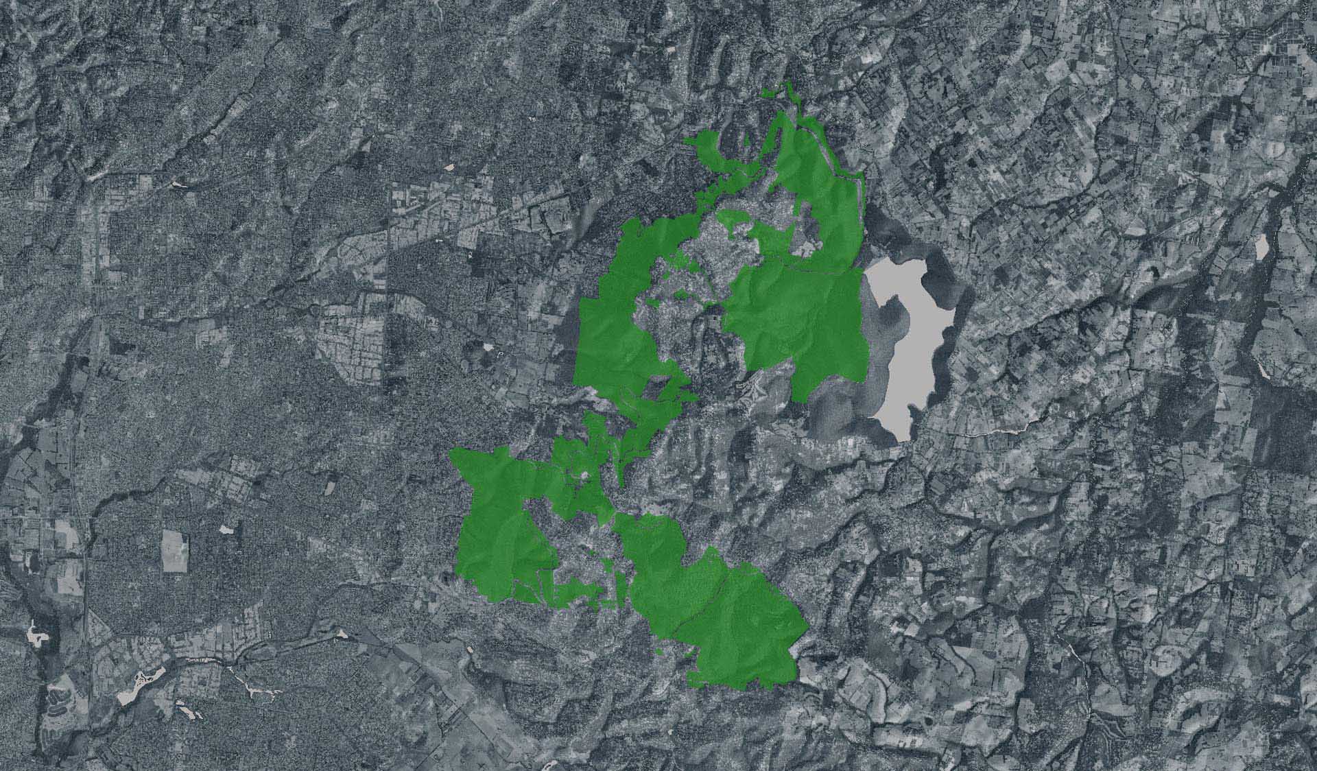
Attachments: Neighbour_Notification_Map_DRNP_2324 (2,529KB)
Deer control in the Dandenong Ranges National Park
Attachments: Neighbour_Notification_Map_DRNP_2324 (2,529KB)
Bleakley Track closure for upgrade works

Attachments: Bleakley track works update (92KB)
Track 13 - Silvan Storm Recovery Works Notification
|
Attachments: FFMVic Track Closure Map (554KB)