Explore
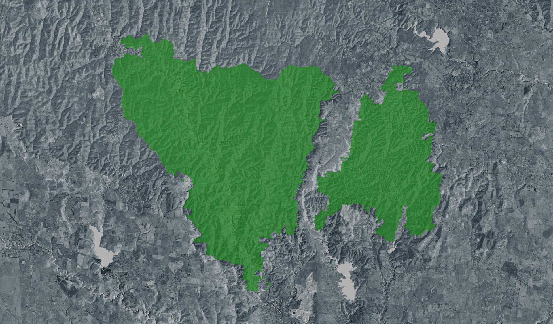
East Walk and Cowan Track Loop Walk (Lerderderg State Park, Lerderderg River Heritage River)
How to get there
East Walk and Cowan Track Loop Walk (Lerderderg State Park, Lerderderg River Heritage River)
Facilities
Need to know
East Walk and Cowan Track Loop Walk (Lerderderg State Park, Lerderderg River Heritage River)
Safety in nature
You can benefit both mind and body when you get outdoors to explore and experience Victoria's natural places. Before you go, take a look at our safety tips and check our changed conditions and closures information for a great visit.
Accessibility
Visiting a park can be more of a challenge for people with disabilities, however, in Victoria there are a wide range of facilities to help people of all abilities enjoy our wonderful parks around the state. Parks Victoria provides a range of a equipment, including all-terrain and beach wheelchairs, facilities, accommodation and accessibility information and programs to help you plan and enjoy your visit to Victoria's parks.
Assistance dogs are welcome in Parks Victoria parks and reserves. Entry requirements apply for parks and reserves that are usually dog prohibited, such as national parks.
Warnings & Restrictions
Dogs
Restrictions
- No horses
- No dogs allowed
- No firearms allowed
- No vehicles
Warnings
-
Terrain hazards
- Uneven ground
- Slippery rocks
-
Water hazards
- Flash flooding
- Deep water
-
Animals and pests
- Snakes
- Beware European wasps
Be Prepared
Change of Conditions
Nature being nature, sometimes conditions can change at short notice. It’s a good idea to check this page ahead of your visit for any updates.
Holt's Road and Nuggety Track Closure
Attachments: HoltsNuggetyClosed (2,704KB)
Mackenzie's Flat Picnic Area BBQ's closed - Flood Damage
Pyrete Range - Pyrites No. 2 Track area (off Walsh Road) temporarily CLOSED
All tracks and areas are closed to all visitors until the area is declared safe for visitors.
Pyrete Range - area off Hobbs Road temporarily CLOSED
All tracks and areas are closed to all visitors until the area is declared safe for visitors.