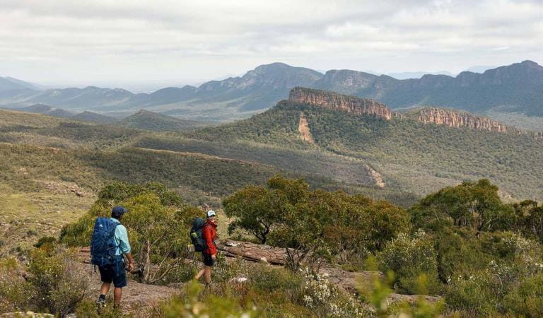
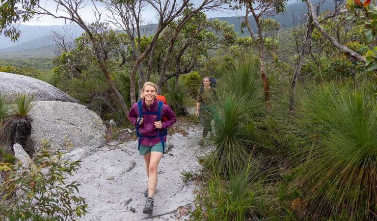
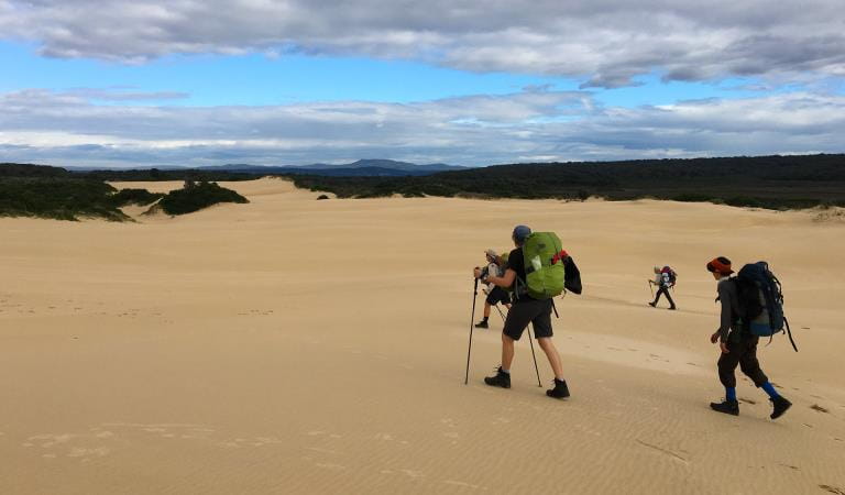
The Falls to Hotham Alpine Crossing is a 37km three-day hike through the Alpine National Park from Falls Creek to Mt Hotham. Enjoy spectacular views of mountain ridges from 2000m above sea level, walk through beautiful Snow Gum woodland and camp near two historic huts.
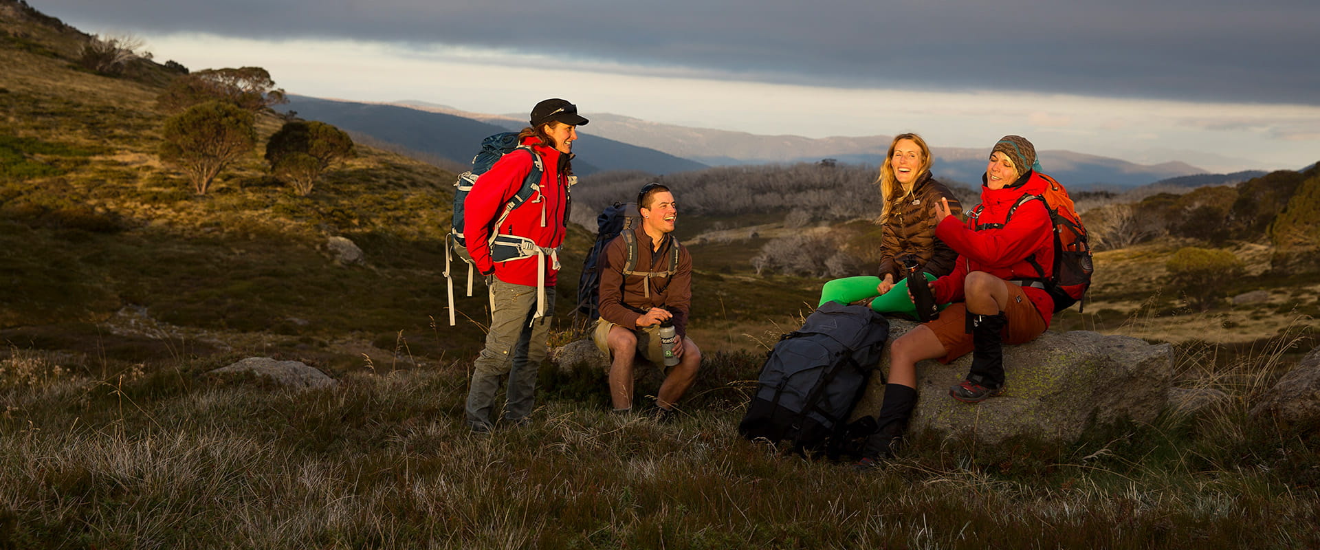
Winding its way along alpine ridges through snow gum woodlands and snow grass plains, over rocky summits and past historic huts, this memorable hike rewards walkers with a spectacular view at every step. By night, see thousands of twinkling stars against some of the darkest skies in the world far from light pollution.
The trail is divided over three legs as follows:
Day 1: Falls Creek to Cope Hut, 14km
Day 2: Cope Hut to Dibbins Hut, 14km
Day 3: Dibbins Hut to Mt Hotham, 9km
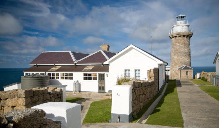
Day 1 highlights include lookouts at Heathy Spur, historic Wallace Hut and Cope Hut - and swathes of pink, gold and white wildflowers in spring and summer. On Day 2, there are stunning panoramas from Pole 333 and unforgettable views of Mount Feathertop, Victoria's second-highest mountain. Day 3 highlights include abandoned Quintet Mine, charming Derricks Hut - and of course a well-deserved coffee and cake at Mt Hotham!
How to get there
Falls to Hotham Alpine Crossing
Falls to Hotham is a point-to-point walk, so you’ll need transport to the start and a way to get home at the end. The drive between trailheads takes approximately two-and-a-half hours.
Using two vehicles in a car shuffle is a popular option. Drive in convoy to the end of the walk, drop off one vehicle, then return to the start of the walk in the other vehicle. Vehicles can be left at the Heathy Spur or Mt Loch car parks at either end.
If you’re staying at Falls Creek, Mt Hotham or Dinner Plain before your walk, some accommodation providers can offer transport or assist with a car shuffle.
When you're there
The Falls to Hotham Alpine Crossing is accessible for hiking from November to April. The track can be walked in either direction but is best when starting from Falls Creek and walking towards Mt Hotham.
There are two campsites on the Falls to Hotham Alpine Crossing:
Cope Hut Camping Area, among the Snow Gums on the Bogong High Plains, is 14km from the trailhead and usually the first night's campsite.
Dibbins Hut, on a snow plain near the headwaters of the Cobungra River, is 9km from Mount Hotham.
Each campsite has five sites on tent platforms. There are four 3m x 3.7m platforms and one larger platform that is 4.5m x 3m. The platforms are designed to fit a 2-3 person hiking tent.
The tent platforms are designed for you to pitch your tent directly on the platform. Each platform has eyelets around the edge to hook tent peg loops or guy ropes over. As well as these there are movable pegs that slot into the mesh, allowing tents of all shapes to be set up.
Bookings are required to so be sure to check availability and make a booking prior to your trip.
Need to know
Falls to Hotham Alpine Crossing
Accessibility
Visiting a park can be more of a challenge for people with disabilities, however in Victoria there are a wide range of facilities to help people of all abilities enjoy our wonderful parks around the state.
How we keep it special
The Falls to Hotham Alpine Crossing immerses visitors in the alpine environment, with its gnarled snow gums and fields of alpine daisies, surrounded by high country scenery, passing by heritage huts and walking to the summits of some of Victoria’s most spectacular peaks. The Master Plan for the Falls to Hotham Alpine Crossing outlines the proposed development of a five-day, four-night hiking experience that traverses the Great Dividing Range, from Falls Creek to Mount Hotham.
Change of Conditions
Nature being nature, sometimes conditions can change at short notice. It’s a good idea to check this page ahead of your visit for any updates.
-
Alpine National Park
Cobberas, Ingeegoodbee and Macfarlane Flat Track closures.
The following tracks have been significantly damaged by storms and floods and are currently closed to motor vehicles to ensure public safety and environmental protection:- Cobberas Track
- Macfarlane Flat Track
- Ingeegoodbee Track
The tracks are likely to remain closed to motor vehicles until detailed site assessments have been completed. It is difficult to predict when planning approvals will be obtained to allow for repairs to commence.
Before visiting, visitors should check the Parks Victoria website for the latest information about their destination.Attachments: FAQs for Cobberas ingeegoodbee and mcfarlane tks (128KB)
Wonnangatta Complex Fire - Area and Road Closures - North East
Closed sites/tracks include:- Rileys, Humffray River, Whites & Water Spur Tracks.Open areas:- Access to the Wonnangatta Valley via East Buffalo Road, East Riley, Zeka Spur and Wonnangatta Tracks.- West Buffalo, Harry Shephards, & Penny Track- West Humffray River Track- Australian Alps Walking Track- King Hut- King Billy Track through to Howitt Road- Cobbler Lake Track, Speculation Rd & Lake Cobbler- The Bogong High Plains- Mt Feathertop and Mt Loch areas- Mt Bogong- Walking tracks between Falls Creek and Mt Hotham- Mt Buffalo- Visitor sites accessed from the Omeo Highway- Howqua Hills- Lake Cobbler- Beveridges Station- Twins Tk, Selwyn Ck Tk, Mt Murray South Track
Please see FFM closure map for https://www.ffm.vic.gov.au/permits-and-regulations/closures-of-parks-and-forestsAlpine National Park: road and track closures
These roads and tracks are closed due to current weather conditions at alpine elevations:
- Dargo High Plains Road
- Blue Rag Range Track
- Basalt North Track
- Twins Track
- Twins Jeep Track
- Mount Murray Track North
- Gunns Track
These tracks will remain closed until seasonal closure openings on 29 October 2026.In the interest of public safety, Victoria Police, Department of Energy Environment and Climate Action (DEECA) and Parks Victoria closed these high elevation alpine roads and tracks in State Forest and the Alpine National Park.Wonnangatta Complex Fire - Debris and Fallen Trees
Due to the recent Wonnangatta Complex Fire – Park Visitors may experience increased amount of debris and fallen trees along the track and road network.Whilst every effort will be made to keep tracks open and safe, post bushfire conditions may mean that tracks and roads may change in condition quickly.Please be aware and suitably prepared if visiting opened areas within the fire effected areas.Ground shooting operations targeting deer
Control operations (ground shooting) targeting deer are undertaken in this area. The Park will remain open to visitors during these operations.For more information about Parks Victoria deer control to protect biodiversity, please visit: https://www.parks.vic.gov.au/get-into-nature/conservation-and-science/conserving-our-parks/feral-animals/deer -
Beveridge Station Camping Area (UNKNOWN, Alpine National Park)
Change of Condition Alpine NP – Road & Track Closures:
Dargo High Plains Road, Blue Rag Range Track, Basalt North Track, Twins Track, Twins Jeep Track, Mount Murray Track North and Gunns Track.Due to current weather conditions at alpine elevations and in the interest of public safety Victoria Police, Department of Energy Environment and Climate Action (DEECA) and Parks Victoria will be closing the above-mentioned high elevation alpine roads and tracks in State Forest and the Alpine NP. These tracks will now remain closed until seasonal closure openings on the 29th of October 2026. -
Notices Affecting Multiple Sites
Wonnangatta Complex Fire - Area and Road Closures - Gippsland Alps
Certain Tracks and Sites in the Alpine National Park and Grant Historic Area remain CLOSED - Due to the Dargo Wonnangatta complex fires in the area
Closed Sites/Tracks:
- McMillans walking track within the closure area
- National Horse Trail from Wonnangatta Valley to Dargo within the closure area
- Pinnacles Day visitor area and viewing platform. Closed at junction of Pinnacles Road and Billy Goat Bluff Track Intersection.
- Certain Areas within the Grant Historic Area.
- Pioneer Racecourse Camping Areas (Alpine National Park)
- CLOSED Tracks include: Hern Spur Track, Scrubby Creek Track, Mccarthy Spur Track, Castleburn Track, Black Range Track, 65 Fire Trail Track, Junction Spur Track
Open areas
Open areas include:
- Wonnangatta Valley including access from Dargo
- Wellington Campsites on Tamboritha Road
- Wellington River Trailhead to Lake Tali Karng
- Thomastown Camping area, Kelly Hut, McMichaels Hut
- King Spur Track into Mayford
- Alpine National Park beyond Hotham Heights to the north and to Omeo
- Avon Wilderness Park
- Howitt Road
- Tamboritha Road
- King Billy Track
- Mt Howitt Carpark
- Vallejo Gantner Hut
- Macalister Springs
- Mount Howitt Walking Track
- Howitt Hut
- Bryces Gorge
- Horseyard Flat
- MacFarlane Saddle access to Tali Karng northern trail network.
- Moroka Hut
- Blue Rag Range
- Dargo High Plains including Mayford.
- Billy Goat Bluff Track
- Talbotville Camping Ground via McMillans Road
- McMillans Road from Dargo High Plains Rd to Talbotville Camping Area.
- Eaglevale Camping Area.
Please see FFM closure map https://www.ffm.vic.gov.au/permits-and-regulations/closures-of-parks-and-forests
Similar experiences at other parks
Grampians Peaks Trail
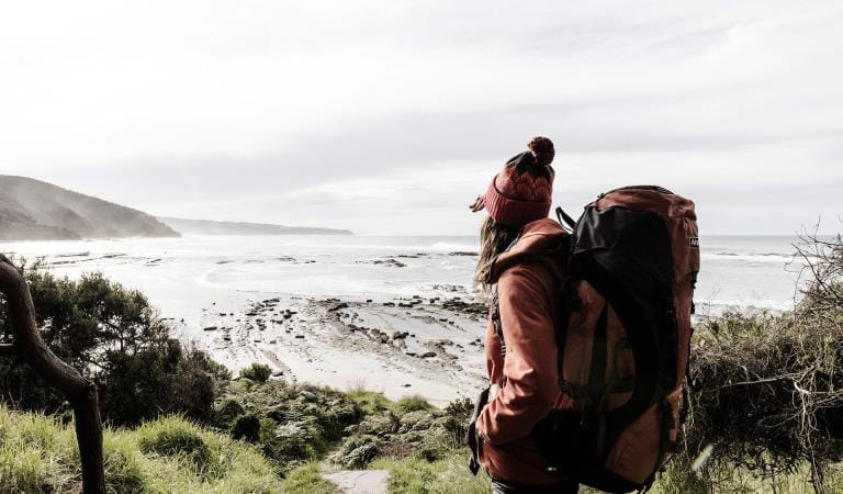
Great Ocean Walk
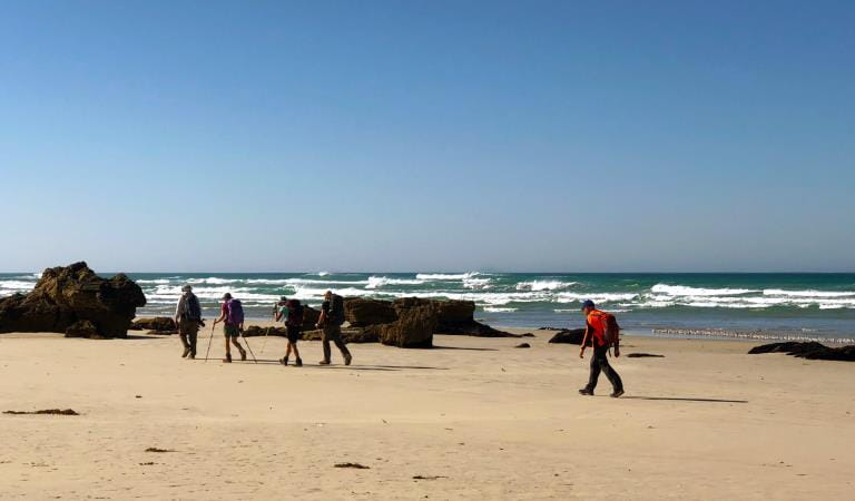
Great South West Walk
Wilsons Promontory Southern Circuit Overnight Hikes
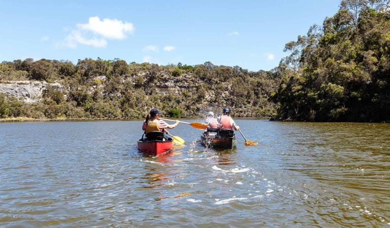
Glenelg River Canoe Trail
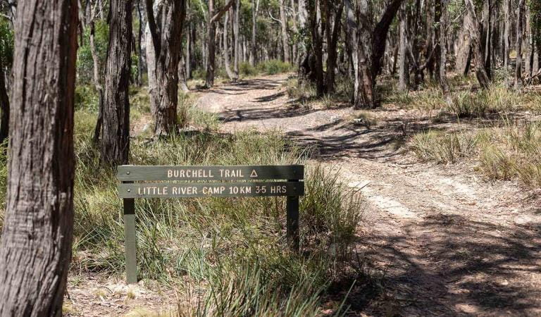
Burchell Trail
Wilderness Coast Walk