Explore
Shipwreck Creek Campground
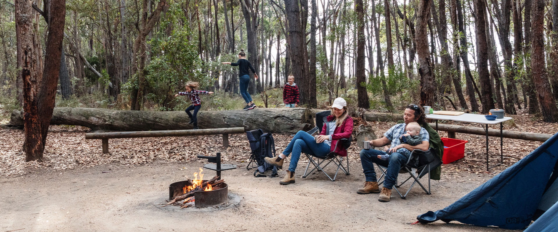
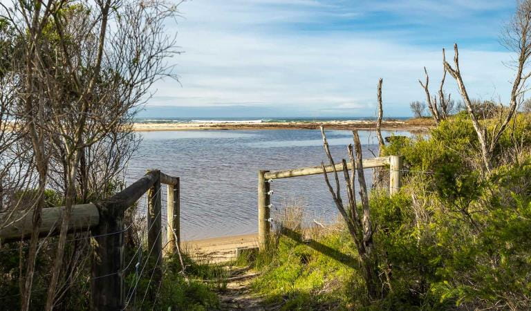
Shipwreck Creek Campground offers a secluded camping experience among tall eucalypt trees. A great escape from nearby Mallacoota, this small cosy campground is a short walk away from the secluded Shipwreck Beach named after the wreck of The Schah (1837), one of Victoria's oldest shipwrecks.
Perfect for a quiet stay in pristine wilderness of Croajingolong National Park, the small Shipwreck Creek Campground contains only 5 campsites and is a lovely alternative to nearby Mallacoota.
Shipwreck Creek Campground features fireplaces, shared picnic tables and pit toilets. There is no drinking water available and campers need to bring their own firewood as well.
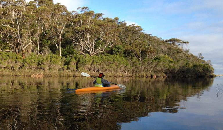
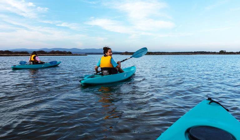
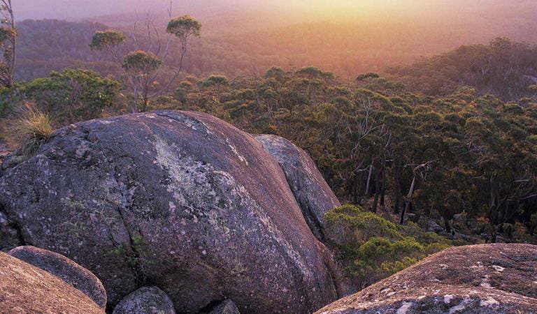
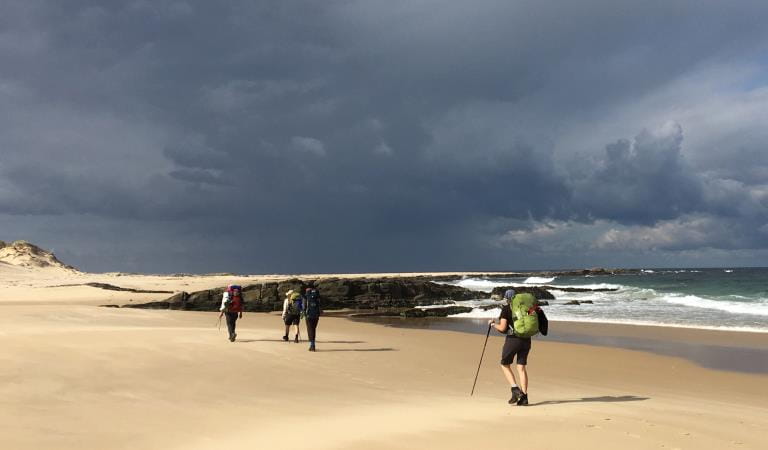
Explore your surrounds on foot and embark on a short, but scenic walk through windswept coastal heath to the sheltered Shipwreck Creek Beach. For a longer stoll, set out towards Seal Creek and explore the intertidal rockpools teeming with marine life or follow the Heathland Walk — ablaze with wildflowers through spring and summer.
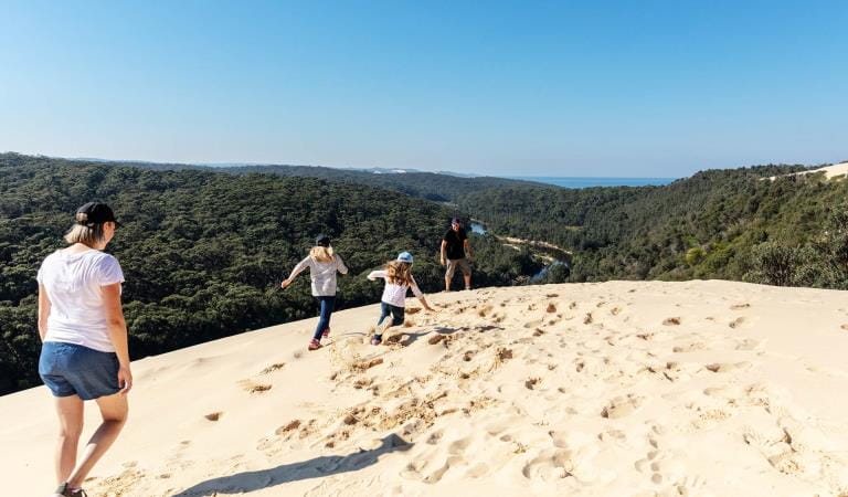
Further afield, Mallacoota Inlet is the largest tidal delta on the Victorian coast and provides ample fishing, swimming and boating opportunities. Make the most of your time at Shipwreck Creek Campground and explore all Croajingolong National Park has to offer.
BOOK NOW
Things To Do
Mallacoota Inlet
Genoa Peak
Cape Howe Wilderness Zone
How to get there
Shipwreck Creek Campground
Sites
When you're there
Need to know
Shipwreck Creek Campground
Accessibility
Visiting a park can be more of a challenge for people with disabilities, however in Victoria there are a wide range of facilities to help people of all abilities enjoy our wonderful parks around the state.
Be prepared and stay safe
Croajingolong National Park is in the East Gippsland fire district. Bushfire safety is a personal responsibility. Anyone entering the park during the bushfire season needs to stay aware of forecast weather conditions. Check the Fire Danger Rating and for days of Total Fire Ban at emergency.vic.gov.au, on the Vic Emergency App or call the Vic Emergency Hotline 1800 226 226.
No fires may be lit on Total Fire Ban days. On Catastrophic Fire Danger Rating days this park will be closed for public safety. Closure signs will be erected but do not expect an official warning.
Change of Conditions
Nature being nature, sometimes conditions can change at short notice. It’s a good idea to check this page ahead of your visit for any updates.
-
Allan Head (Croajingolong National Park)
Allan Head Jetty Closure
The Allan Head jetty is temporarily closed for public safety. Visitors are advised that the Allan Head day visitor area remains open, however access onto the jetty is restricted. -
Notices Affecting Multiple Sites
Tracks and areas closed in the Croajingolong National Park
The following areas are closed because of the 2019/2020 bushfires and coastal erosion caused by heavy rainfall. Parks Victoria continue to maintain surveillance and security of these areas as works continue to reinstate access.· Point Hicks Lightstation· Saros Track· Sledge TrackThe Wilderness Coast Walk is open all the way from Bemm River to Mallacoota. Staff have recently marked sections of the track however, combined flood and fire damage have made some areas more difficult to negotiate. Hikers must be able to self-navigate with a map and compass.The following walking track is closed:· Wingan Inlet Rapids WalkThe following jetties around Mallacoota are closed:· Kingfish Point. Goanna BayThe following tracks remain closed due to storm damage· Miners TrackPeachtree Creek Camp Closed for Upgrades - June / July 2026
Peachtree Creek Creek campground is closed from 30 April 2026 whilst upgrades are being completed.No access to the boat ramp, jetty or toilet block is possible whilst works are underway.Works are expected to be completed by end of July 2026.Alternative access to Tamboon Inlet is available via the boatramp at Furnell Landing at the end of Tamboon Rd. See here for map.Peachtree Creek Camp Closed for Upgrades - June / July 2026
Peachtree Creek Creek campground is closed from 30 April 2026 whilst upgrades are being completed.No access to the boat ramp, jetty or toilet block is possible whilst works are underway.Works are expected to be completed by end of July 2026.Alternative access to Tamboon Inlet is available via the boatramp at Furnell Landing at the end of Tamboon Rd. See here for map.Ground shooting operations targeting deer
Control operations (ground shooting) targeting deer are undertaken in this area. The Park will remain open to visitors during these operations.For more information about Parks Victoria deer control to protect biodiversity, please visit: https://www.parks.vic.gov.au/get-into-nature/conservation-and-science/conserving-our-parks/feral-animals/deer -
Kingfish Point (Croajingolong National Park)
Kingfish Point Jetty Closure
The Kingfish Point Jetty is closed for public safety. Visitors are advised that the Kingfish Point day visitor area remains open. -
Genoa Peak (Croajingolong National Park)
Genoa Peak Road and Genoa Peak Walking Track Closure
Genoa Peak Road and Genoa Peak Walking Track will be temporarily closed to public access from the 2nd June 2026 to the 1st September 2026 to allow for hazardous tree treatment and road maintenance works. -
Croajingolong National Park
Area closed in Croajingolong National Park
Water Inundation is currently impacting Croajingolong National Park and Mueller Inlet Camp
The following campsites will be closed until water levels recede which are currently impacting campsites:
- Mueller Inlet Camp
For alternative camping arrangements please book at Thurra River (Croajingolong National Park) -
Captain Creek (Croajingolong National Park)
Captain Creek Jetty Closure
The Captain Creek Jetty is temporarily closed for public safety due recent vandalism requiring a section of decking to be repaired. The Captain Creek Day Visitor area remains open. -
Notices Affecting Multiple Parks
Ground shooting operations targeting foxes
Control operations (ground shooting) targeting foxes are undertaken in this area. The Park will remain open to visitors during these operations.For more information about Parks Victoria deer control to protect biodiversity, please visit: https://www.parks.vic.gov.au/get-into-nature/conservation-and-science/conserving-our-parks/feral-animals
Similar Experiences
Mueller Inlet Campground
Thurra River Campground