
Womin-Dji-Ka (Welcome)
Greater Bendigo National Park is one of six jointly managed parks in Central West Victoria by the Dja Dja Wurrung Clans Aboriginal Corporation and Parks Victoria. For more information on Joint Management, please visit the Dja Dja Wurrung Clans Aboriginal Corporation and Dhelkunya Dja Land Management Board who oversee implementation of the Joint Management Plan 2018 - see relevent strategy and resources documents.
One Tree Hill is a popular spot for sightseeing and picnics, with a number of bushland tracks for walking, cycling and running. A fire lookout tower on the summit of the hill offers views over Bendigo and the surrounding landscape. The view is magnificent on a clear day, and the spectacular sunsets are worth the climb. Enjoy a leisurely picnic at the tables and shelter at the foot of the tower.
Drive, walk or cycle along Edwards Road in Flora Hill to the lookout, or park at the bottom of One Tree Hill Road in Spring Gully, and walk or cycle up from there. Bring binoculars for some birdwatching or visit in Spring to see the wildflowers that carpet the floor of the Box-Ironbark forest.
The bushland surrounding the tower offers walkers a network of tracks to explore, such as the easy 3km Lookout Loop track, or the Bendigo Bushland Trail, a 65km trail that circles the city, passing through various parks and reserves. Both tracks start from the stone building at the base of the lookout tower.
Things To Do
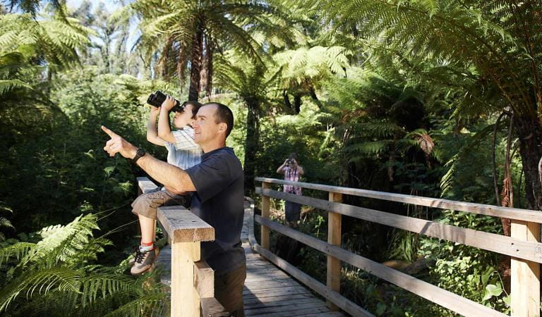
Bird watching
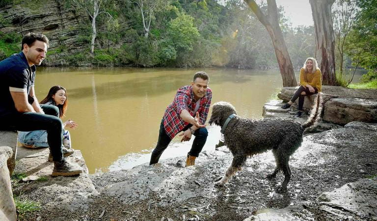
Dog walking
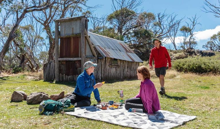
Picnics
How to get there
One Tree Hill Lookout and Picnic Area
When you're there
Dogs are permitted on roads and tracks in the One Tree Hill block of the Greater Bendigo National Park, as long as they are kept on a lead at all times. Dogs and other pets are prohibited everywhere else in Greater Bendigo National Park. For more information, view the Dog walking in parks and forests around Bendigo map (PDF).
There are no public toilets and no bins are provided, so please take your rubbish home for recycling or disposal.
Watch out for snakes in warmer weather.
Horse riding, camping, firearms, fires and firewood collection is prohibited.
Drones are prohibited without a permit.
Please do not disturb the plants or animals, as they are protected by law.
Need to know
One Tree Hill Lookout and Picnic Area
Accessibility
Visiting a park can be more of a challenge for people with disabilities, however in Victoria there are a wide range of facilities to help people of all abilities enjoy our wonderful parks around the state.
Assistance dogs are welcome in Parks Victoria parks and reserves. Entry requirements apply for parks and reserves that are usually dog prohibited, such as national parks.
Safety in nature
To ensure that you and your companions stay safe, always remember that the natural environment can be unpredictable. Before you go, take a look at our safety tips and check our changed conditions and closures information for a great visit.
Visitors are reminded not to park or rest under or near large trees, as trees and branches may fall at any time.