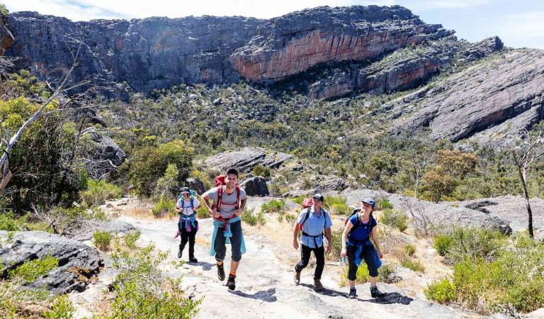
There are a range of great walks throughout Hattah-Kulkyne National Park, from easy family walks to longer hikes. Take in the distinctive Mallee landscape and explore the impressive lakes system - famous for its birdlife.
Hattah Nature Walk – 1.2km, 40 minutes return
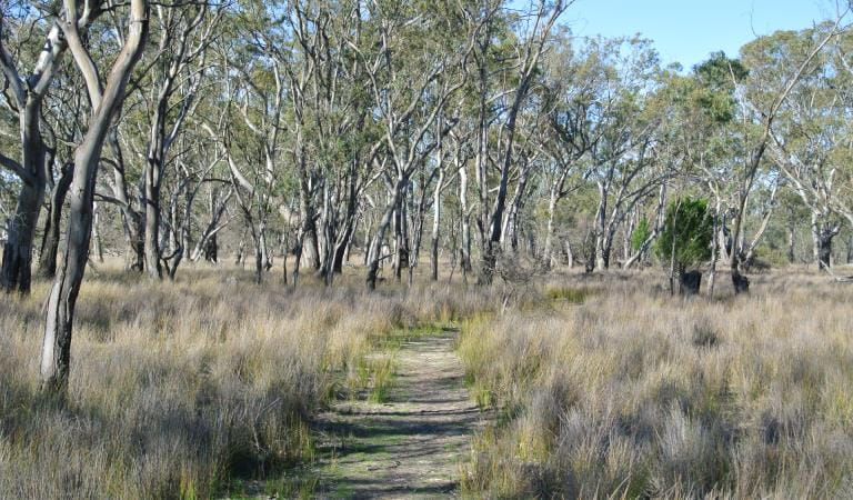
This gentle walk begins from the carpark near the park entrance off the Hattah-Robinvale Road. Interpretative signs highlight Mallee ecosystem.
Warepil Lookout Walk – 600m, 30 minutes return
Start from the Old Calder Highway carpark and take a short stroll up the steady incline to the lookout tower. You will be rewarded with great views of the surrounding Mallee Region. Look north-west and see the vast Murray Sunset National Park. This is a great place to witness the magnificent Mallee sunsets.
Woodlands Walk – 2.5km, 1 hour one way
This walk starts at the Hattah- Kulkyne National Park Visitor Centre carpark and connects to the Camel Pad Track. It allows you to walk the 8km to Lake Mournpall Campground avoiding the car traffic on Mournpall Track.
Mournpall Lake Loop – 9.5km, 3 hours circuit
Starting at the Lake Mournpall camping area, this loop walk follows the northern edge of Lake Mournpall before circling north around Lake Konardin passing through River Red Gum flood plains and Mallee dunes. The walk showcases the dramatic changes in vegetation, as you get closer and further away from water. Keep an eye also for the abundant wildlife. Kangaroos and emus can frequently be spotted, as well as a variety of birds, including wedge-tailed eagles, whitebellied sea eagles and whistling kites.
Download the Hattah-Kulkyne Visitor Guide for a map of the walks in the park.
How to get there
Walking in Hattah-Kulkyne National Park
Facilities
Need to know
Walking in Hattah-Kulkyne National Park
Change of Conditions
Nature being nature, sometimes conditions can change at short notice. It’s a good idea to check this page ahead of your visit for any updates.
-
Notices Affecting Multiple Sites
Changing Access
Raak Track and Goosefoot Track are currently closed due to fire impacts.From Monday 1st June to December 2026, essential environmental works will take place within the northern section of the park as part of the Victorian Murray Floodplain Restoration Project (VMFRP). During this time, visitors can expect increased heavy vehicle movement and temporary track closures. To ensure public safety, certain areas will be restricted during construction. We recommend checking this page frequently for real-time updates before planning your trip.Please refer to the attached map for specific details.Please plan your visit around these closures and comply with local signs.Thank you for your patience.Attachments: Hattah-Kulkyne access changes May-Dec 2026 (841KB)
-
Hattah-Kulkyne National Park
Planned access changes: Hattah-Kulkyne VMFRP project
From 10 June to December 2026, essential environmental works will take place within the Hattah-Kulkyne park as part of the Victorian Murray Floodplain Restoration Project (VMFRP). During this time, visitors can expect increased heavy vehicle movement and temporary track closures.Certain areas will be restricted during construction for public safety. Please refer to the detailed maps of the affected zones on our VMFRP project page. We recommend checking this page frequently for real-time updates before planning your trip to Hattah-Kulkyne.
Similar Trails
Walks in Little Desert National Park