Explore
Peachtree Creek Campground
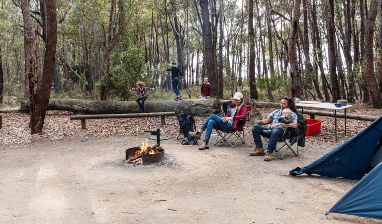
Nestled on the shores of Tamboon Inlet in far East Gippsland and adjacent to Croajingolong National Park is Peachtree Creek Campground. This small waterfront camping destination in Peachtree Reserve is surrounded by coastal forest, wetlands and abundant wildlife.
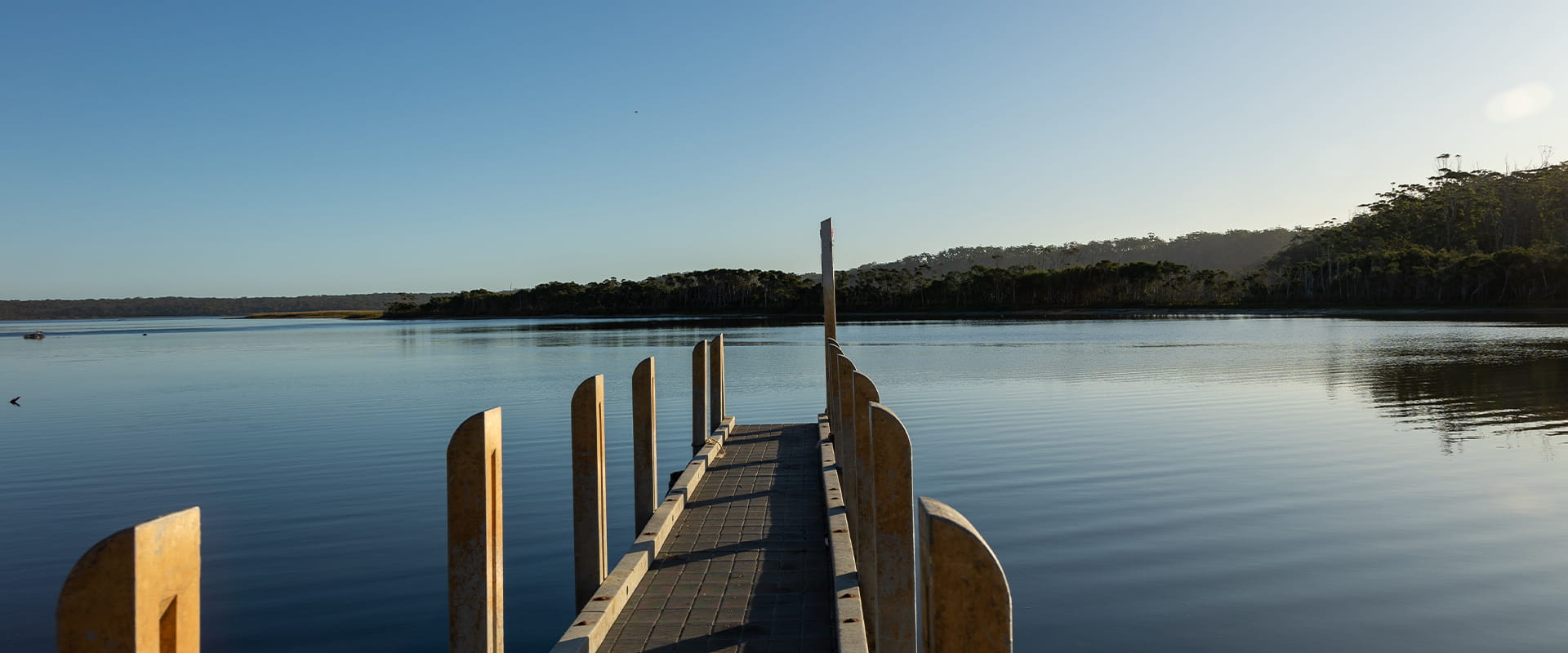
The upgraded campground offers improved facilities and easier access for campers, boaters and day visitors looking to explore one of Victoria's most secluded coastal environments. Recent improvements include a new accessible toilet, upgraded campground infrastructure, improved walking access and a new floating pontoon jetty and boat ramp designed to accommodate changing water levels throughout the year.
Facilities include:
- accessible toilets
- barbecues
- parking areas
- a boardwalk
- floating pontoon jetty
- boat ramp access
- visitor information and signage.
Things To Do
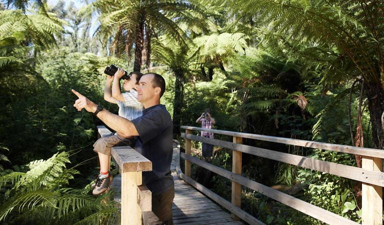
Bird watching
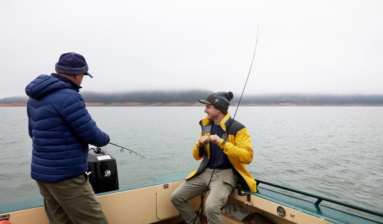
Fishing
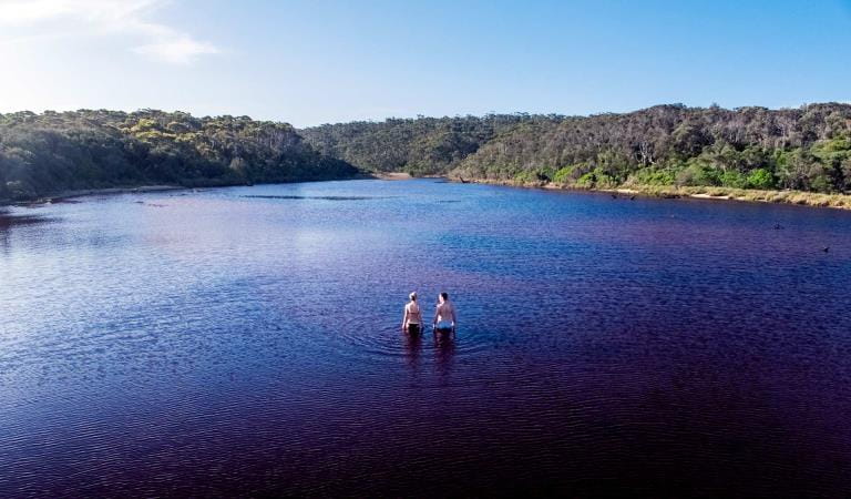
Freshwater swimming
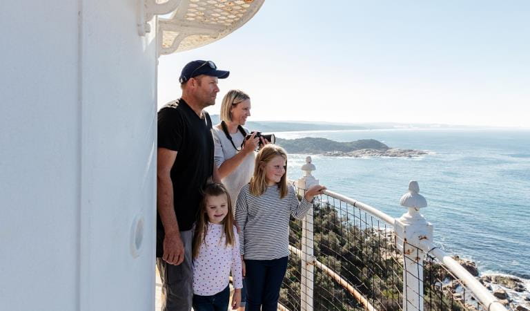
Point Hicks Lighthouse
How to get there
Peachtree Creek Campground
Tamboon Inlet is approximately 6.5 hours drive east of Melbourne. Follow the Princes Highway to Cann River. Turn right on to Tamboon Road and follow the 2WD accessible unsealed road until you reach a fork in the road. From here, follow Point Hicks Road and then Fishermans Track to reach Peachtree Creek Campground.
Visitors accessing the remote campsites can launch their boats from the ramp or jetty. Please note that access to these remote campsites is weather dependant.
Need to know
Peachtree Creek Campground
Accessibility
Recent upgrades have improved accessibility at Peachtree campground. This includes the installation of a Disability Discrimination Act (DDA) compliant toilet and improved access along key walking routes. Visitors with mobility requirements are encouraged to check current conditions before visiting.
Assistance dogs are welcome in Parks Victoria parks and reserves. Entry requirements apply for parks and reserves that are usually dog prohibited, such as national parks.
Visiting a park can be more of a challenge for people with disabilities, however in Victoria there are a wide range of facilities to help people of all abilities enjoy our wonderful parks around the state.
Be prepared and stay safe
Croajingolong National Park is in the East Gippsland fire district. Bushfire safety is a personal responsibility. Anyone entering the park during the bushfire season needs to stay aware of forecast weather conditions. Check the Fire Danger Rating and for days of Total Fire Ban at emergency.vic.gov.au, on the Vic Emergency App or call the Vic Emergency Hotline 1800 226 226.
No fires may be lit on Total Fire Ban days. On Catastrophic Fire Danger Rating days this park will be closed for public safety. Closure signs will be erected but do not expect an official warning.
Change of Conditions
Nature being nature, sometimes conditions can change at short notice. It’s a good idea to check this page ahead of your visit for any updates.
-
Allan Head (Croajingolong National Park)
Allan Head Jetty Closure
The Allan Head jetty is temporarily closed for public safety. Visitors are advised that the Allan Head day visitor area remains open, however access onto the jetty is restricted. -
Goanna Bay (Croajingolong National Park)
Goanna Bay Jetty Closure
The Goanna Bay jetty is temporarily closed for public safety. Visitors are advised that the Goanna Bay day visitor area remains open however access onto the jetty is restricted. -
Kingfish Point (Croajingolong National Park)
Kingfish Point Jetty Closure
The Kingfish Point Jetty is closed for public safety. Visitors are advised that the Kingfish Point day visitor area remains open. -
Notices Affecting Multiple Sites
Tracks and areas closed in the Croajingolong National Park
The following areas are closed because of the 2019/2020 bushfires and coastal erosion caused by heavy rainfall. Parks Victoria continue to maintain surveillance and security of these areas as works continue to reinstate access:· Saros Track· Sledge TrackThe Wilderness Coast Walk is open all the way from Bemm River to Mallacoota. Staff have recently marked sections of the track however, combined flood and fire damage have made some areas more difficult to negotiate. Hikers must be able to self-navigate with a map and compass.The following walking track is closed:· Wingan Inlet Rapids WalkThe following jetties around Mallacoota are closed:· Kingfish Point. Goanna BayThe following tracks remain closed due to storm damage· Miners TrackGround shooting operations targeting deer
Control operations (ground shooting) targeting deer are undertaken in this area. The Park will remain open to visitors during these operations.For more information about Parks Victoria deer control to protect biodiversity, please visit: https://www.parks.vic.gov.au/get-into-nature/conservation-and-science/conserving-our-parks/feral-animals/deer -
Notices Affecting Multiple Parks
Ground shooting operations targeting foxes
Control operations (ground shooting) targeting foxes are undertaken in this area. The Park will remain open to visitors during these operations.For more information about Parks Victoria deer control to protect biodiversity, please visit: https://www.parks.vic.gov.au/get-into-nature/conservation-and-science/conserving-our-parks/feral-animals
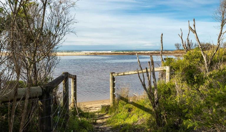
Mueller Inlet Campground
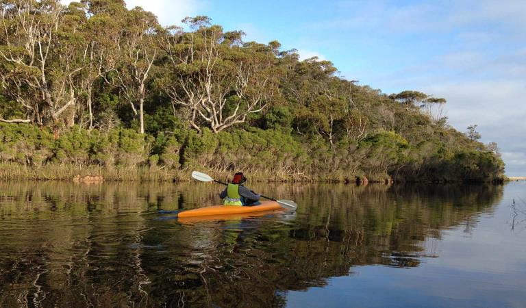
Wingan Inlet Campground