Camping in Hattah-Kulkyne National Park

Explore

Camping in Hattah-Kulkyne National Park

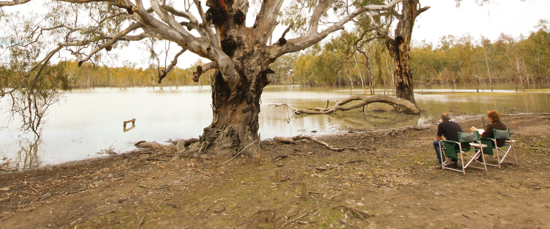
Hattah-Kulkyne National Park lies in typical mallee country with extensive low scrub and open native pine woodland. Superbly adapted birds, animals and vegetation thrive in the poor, sandy soils and searing summers.

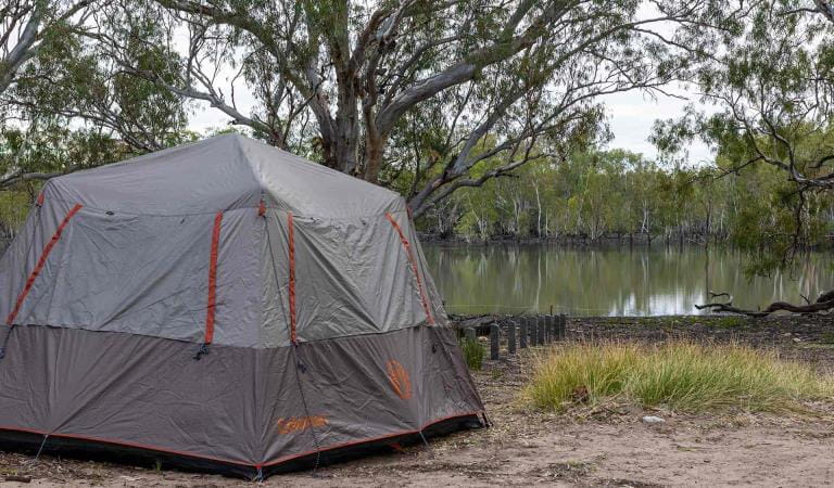
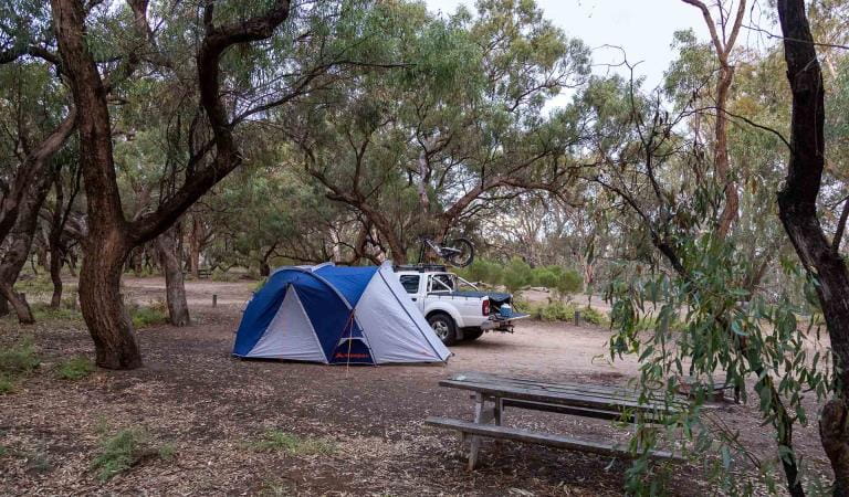
There are two designated camping areas in the park with basic facilities, including non-flush toilets, fireplaces and picnic tables. They are at Lake Mournpall and Lake Hattah. Advance bookings and payment are required year round for camping at these sites. 

Other river camping areas without facilities are available at Ki Bend, Firemans Bend and Jinkers Bend. No booking or fees are required. 

Please practise minimal impact camping and observe relevant fire regulations. Beware of falling River Red Gum limbs when camping along the river. 

Things to do in the area

A large square grey tent pitched overlooking the water at Lake Hattah Campground at Hattah-Kulkyne National Park

Lake Hattah Camping Area

Unwind at camp after a day of walking, bike riding or canoeing.
A large Macpac tent set up next to a picnic table and a white ute with a mountain bike on the roof at Lake Mournpall Campground at Hattah-Kulkyne National Park

Lake Mournpall Camping Area
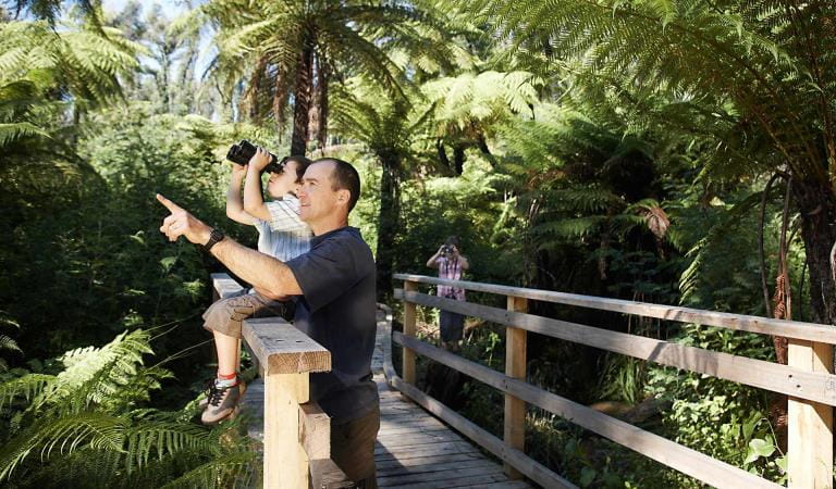
Relax at camp and enjoy the company of native wildlife, or set out and explore one of the nearby walking trails.
Father and son bird watching on boardwalk

Bird watching

From bushland to wetlands and everything in between, parks provide habitat to an abundance of common and rare bird species. Go for a wander and see how many you can spot.
A couple stop on the side of the Great Ocean Road to take a picture.

Long drives

Venture out on a regional road trip with some of Australia's most scenic drives taking you to its most spectacular natural attractions.
A couple watch the sunset at a picnic table on the edge of Lake Catani at Mount Buffalo National Park.

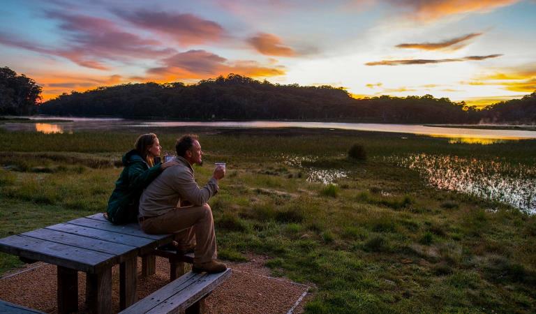
Sunrises and sunsets
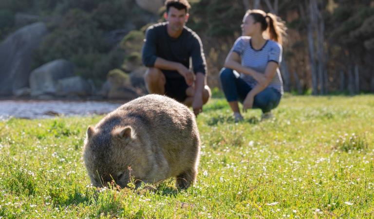
Spectacular sunsets from the summits and to west, and picturesque sunrises in the east , top-and-tail your day the perfect way.
A couple looks on at a Wombat on Wilsons Promontory National Park,

Wildlife viewing

Get up close and personal with some of Australia's shy native wildlife or look up to spot tree-dwelling mammals and flocks of colourful birds,

How to get there

Camping in Hattah-Kulkyne National Park

Hattah-Kulkyne National Park is about 450km from Melbourne off the Calder Highway, between Ouyen and Mildura. The Park is 35km north of Ouyen and 74km south of Mildura. 

Sites

Need to know

Camping in Hattah-Kulkyne National Park

Change of Conditions

Nature being nature, sometimes conditions can change at short notice. It’s a good idea to check this page ahead of your visit for any updates.

  • Notices Affecting Multiple Sites

    Park Closure - Conservation Program

    Due to a conservation program Hattah-Kulkyne National Park, including Lake Hattah and Lake Mournpall campgrounds, will be closed from Saturday 23rd to and inclusive of Sunday 24th May 2026.

    Closure signs will be in place on all main entry points into the park.

    Please refer to the attached map for specific locations.

    Murray Kulkyne Park will remain fully open allowing access to camping along the river bends. If staying in the Murray Kulkyne Park, please ensure you don't cross River Track into the Hattah-Kulkyne National Park during this closure for your own safety. 

    Appreciate your patience & support

    Attachments: Hattah Kulkyne National Park and Murray Kulkyne Outline Map (347KB)

    Changing access

    Changing access from May 2026

    Raak Track and Goosefoot Track are currently closed due to fire impacts.

    Upgrades to improve access are taking place in Hattah Kulkyne National Park. River Track will temporarily be closed from the northern entry point at Emmert's Bend through to the intersection of Raak Track. Roadworks will commence on the 11 May 2026 and continue for approximately 2 weeks. 

    From late May to December 2026, essential environmental works will take place within the northern section of the park as part of the Victorian Murray Floodplain Restoration Project (VMFRP). During this time, visitors can expect increased heavy vehicle movement and temporary track closures. To ensure public safety, certain areas will be restricted during construction. We recommend checking this page frequently for real-time updates before planning your trip.

    Please plan your visit around these closures, and comply with local signsThank you for your patience.

    Attachments: Hattah-Kulkyne access changes May-Dec 2026 (841KB)

  • Hattah-Kulkyne National Park

    Temporary Closure - River Track North

    Upgrades to River Track is requiring roadworks in Hattah Kulkyne National Park and will affect access. River track will need to be closed from the northern entry point at Emmert's Bend through to the intersection of Raak Track.

    Roadworks are planned to commence on the 11th of May and continue till completion in approximately 2 weeks being the 22nd of May 2026. 
    Signage will be in place at either end of the work on River track. Please plan you access to the park around this closure. 

    Please refer to the attached map for more details.

    Please keep referring to the website for updates.

    Appreciate your patience and support

    Attachments: River Track Closure Website Map (147KB)

X
By using our site you accept that we use and share cookies and similar technologies with certain approved third parties. These tools enable us to improve your website experience and to provide content and ads tailored to your interests. By continuing to use our site you consent to this. Please see our Privacy Policy for more information.
Confirm