Explore
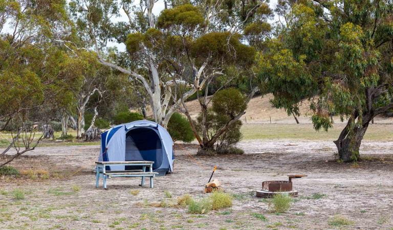
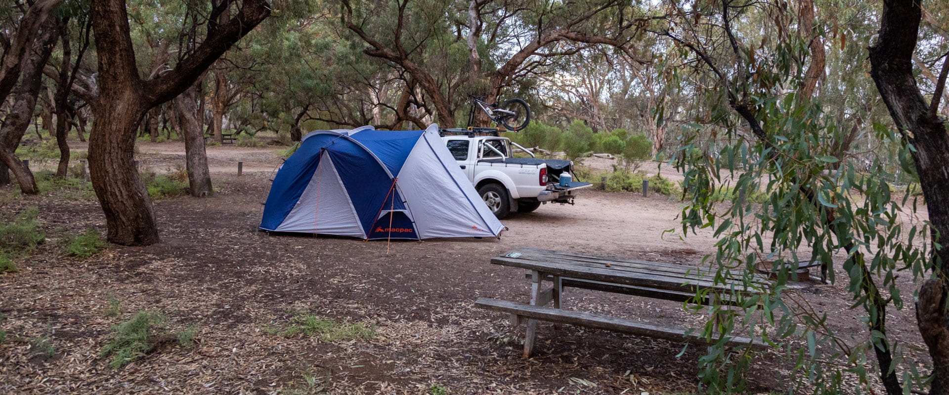
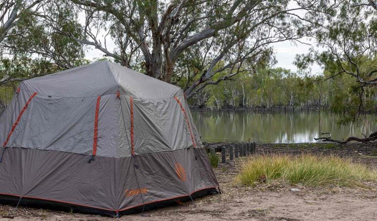
Lake Mournpall Camping Area
Relax at camp and enjoy the company of native wildlife, or set out and explore one of the nearby walking trails.
Lake Mournpall Camping Area offers 16 unpowered campsites, suitable for tents, camper trailers, campervans and caravans.
Campground facilities include non-flush toilets, fireplaces and picnic tables.
Individual campsites cannot be reserved, please select your campsite(s) within the campground on arrival.
Advanced bookings and payment are required year-round. Each campsite holds a maximum of six people. Please book multiple sites for bookings of more than six people.
The park has a rich variety of birdlife ranging from wetland species such as Pelicans, Ducks and Spoonbills to dry mallee specialists such as Malleefowl and Emu Wrens.
Murray Cod and Golden Perch (Yellowbelly) provide good sport for anglers. Unfortunately, European Carp are present in large numbers. In season, Yabbies and Murray Crayfish may also be found. A Victorian recreational fishing licence is required for fishing and yabbying and can be purchased from agriculture.vic.gov.au/fisheries.
Things to do in the area
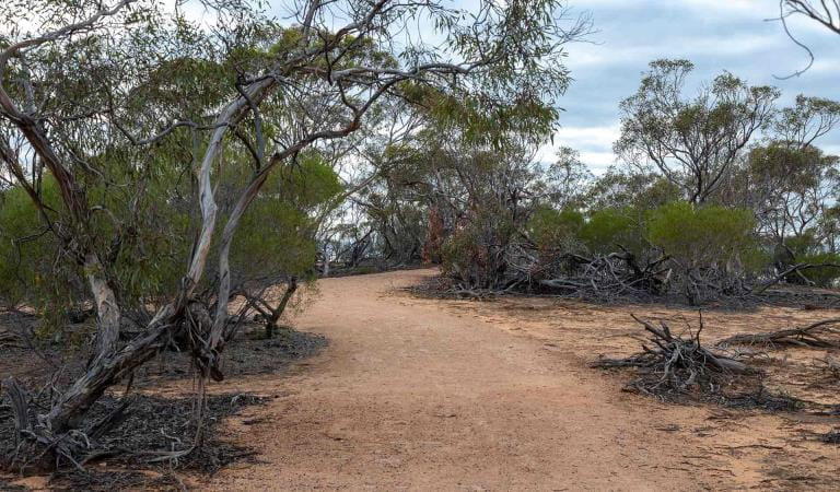
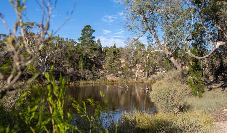
Walking in Hattah-Kulkyne National Park
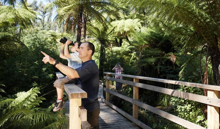
Bird watching

Long drives
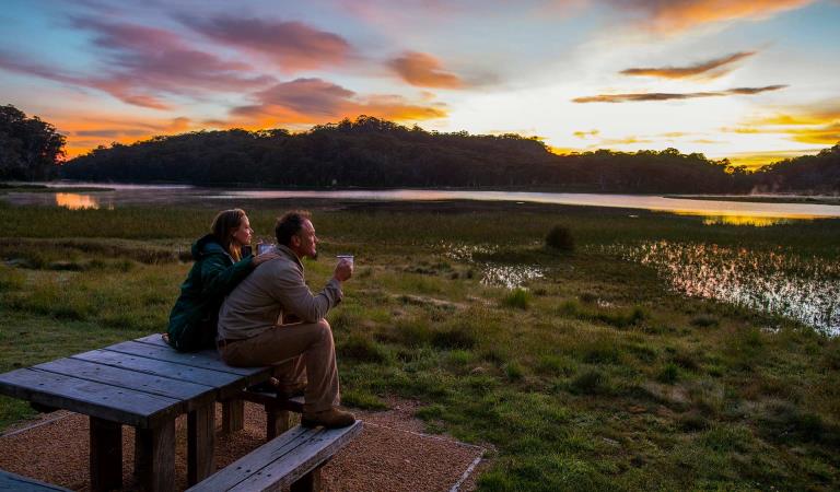
Sunrises and sunsets
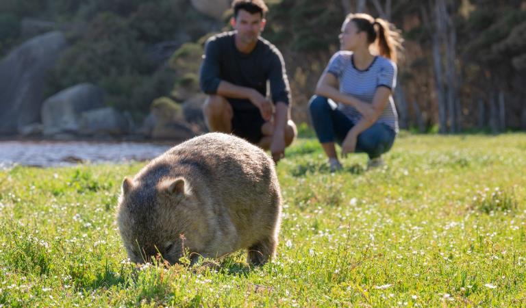
Wildlife viewing
How to get there
Lake Mournpall Camping Area
When you're there
Need to know
Lake Mournpall Camping Area
Accessibility
Visiting a park can be more of a challenge for people with disabilities, however in Victoria there are a wide range of facilities to help people of all abilities enjoy our wonderful parks around the state.
Be prepared and stay safe
Hattah - Kulkyne National Park is in the Mallee fire district. Bushfires can occur during the warmer months. It is your responsibility to check current and forecast weather conditions. Campfires cannot be lit on days of Total Fire Ban, however gas cookers can be used for preparing food.
Check the Fire Danger Rating and for days of Total Fire Ban at emergency.vic.gov.au, on the Vic Emergency App or call the Vic Emergency Hotline 1800 226 226.
Change of Conditions
Nature being nature, sometimes conditions can change at short notice. It’s a good idea to check this page ahead of your visit for any updates.
-
Notices Affecting Multiple Sites
Changing Access
Raak Track and Goosefoot Track are currently closed due to fire impacts.From Monday 1st June to December 2026, essential environmental works will take place within the northern section of the park as part of the Victorian Murray Floodplain Restoration Project (VMFRP). During this time, visitors can expect increased heavy vehicle movement and temporary track closures. To ensure public safety, certain areas will be restricted during construction. We recommend checking this page frequently for real-time updates before planning your trip.Please refer to the attached map for specific details.Please plan your visit around these closures and comply with local signs.Thank you for your patience.Attachments: Hattah-Kulkyne access changes May-Dec 2026 (841KB)
-
Hattah-Kulkyne National Park
Planned access changes: Hattah-Kulkyne VMFRP project
From 10 June to December 2026, essential environmental works will take place within the Hattah-Kulkyne park as part of the Victorian Murray Floodplain Restoration Project (VMFRP). During this time, visitors can expect increased heavy vehicle movement and temporary track closures.Certain areas will be restricted during construction for public safety. Please refer to the detailed maps of the affected zones on our VMFRP project page. We recommend checking this page frequently for real-time updates before planning your trip to Hattah-Kulkyne.
Similar experiences
Lake Hattah Camping Area
Horseshoe Bend Camping Area