
Mitchell River National Park is one of the jointly managed parks within Gippsland. The Joint Management agreement recognises the fact that the Gunaikurnai people hold Aboriginal Title and maintain a strong connection to Country. As custodians of the land, they are the rightful people who speak for their Country. These parks and reserves are cultural landscapes that continue to be part of Gunaikurnai living culture. For more information on Joint Management, please visit the Gunaikurnai Traditional Owner Land Management Board and the Gunaikurnai Land and Waters Aboriginal Corporation.
![]()
Den of Nargun Loop – 3.4km, 1.5 hours circuit
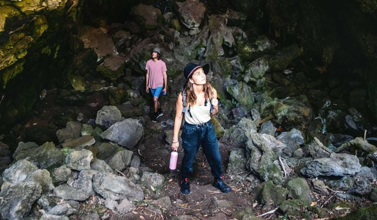
Starting at the Den of Nargun picnic area, walk through the rainforest gully. The stepping stones lead into the Den itself. Tradition has it the Nargun lives there, a fierce being, half human and half stone. Absorb the eerie atmosphere of the Den of Nargun from a safe distance. The Gunaikurnai people and Parks Victoria ask you to respect this special place by not entering the cave.
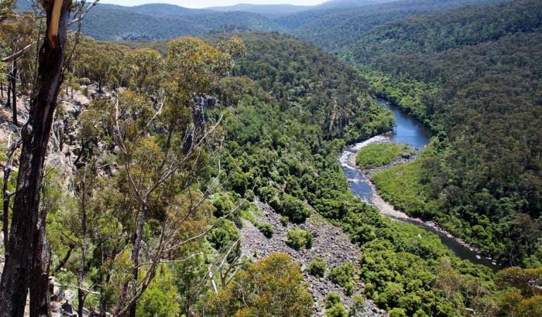
From there retrace your steps and continue down Woolshed Creek. The trail features another culturally significant site, Deadcock Den and the Bluff Lookout with views of the Mitchell River Gorge.
Please take plenty of drinking water when undertaking any walks or hikes. Beware of snakes.
Mitchell River Walking Track – 18km, 2 days one way
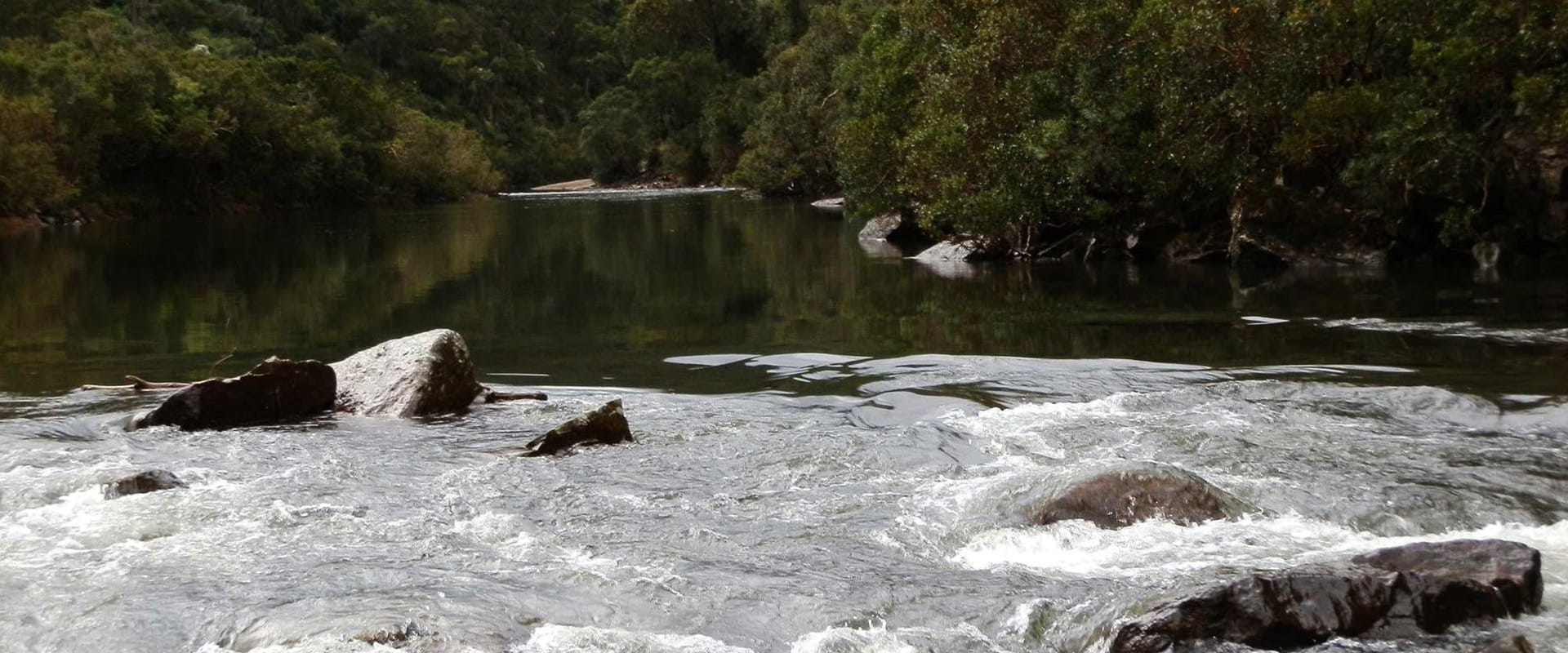
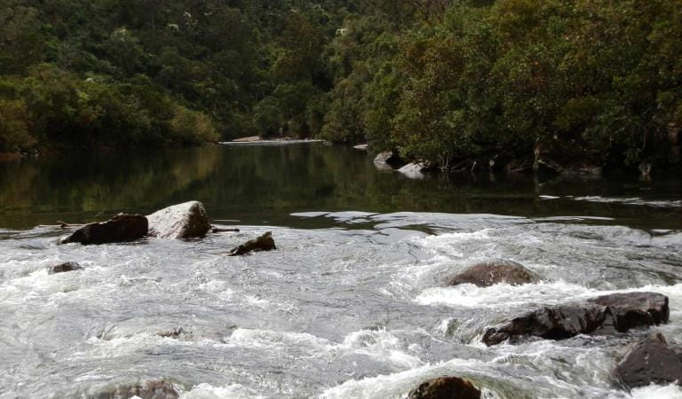
The walk starts at Angusvale and follows the Mitchell River as it winds its way down the gorge, ending at the Den of Nargun picnic area. Overnight camping is available at Billy Goat Bend which is located about half way along the walk. The walk offers spectacular views from the river to gorge top as well as plenty of birdwatching opportunities.
Old Weir Site Lookout (Glenaladale Weir) – 300m, 20 minutes return
Starting at an informal carpark where Old Weir Track crosses a tributary of Stony Creek, this short walk takes you to a lookout. The ruins of the Glenaladale Weir, constructed in 1881 are located at the junction of Stony Creek and the Mitchell River. Stone for the weir was quarried from the western side of the river.
Things To Do
Cultural Heritage
Camping at Mitchell River
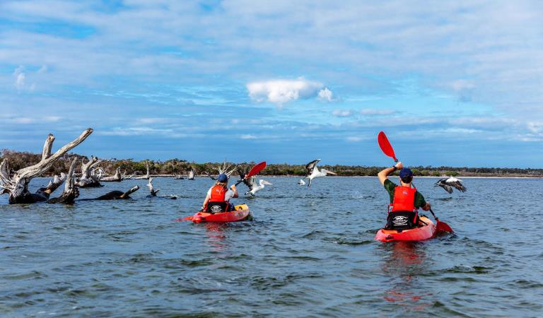
Canoeing and rafting at Mitchell River
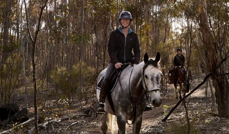
Horse riding in Mitchell River National Park
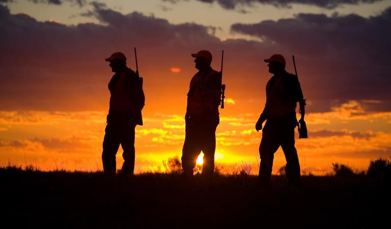
Hunting in Mitchell River National Park
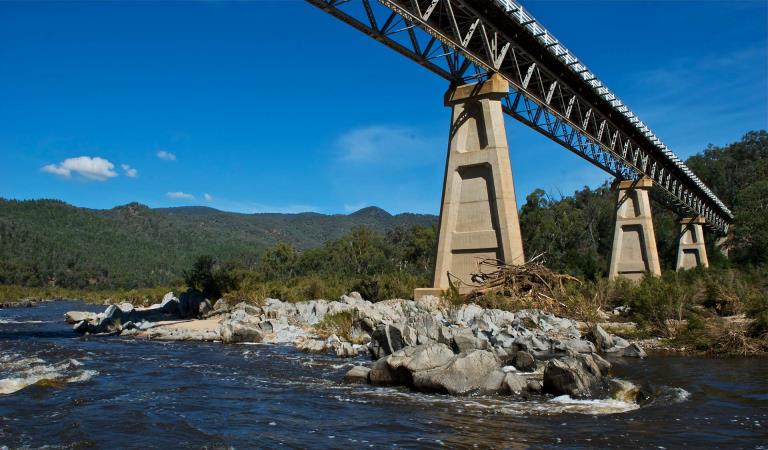
How to get there
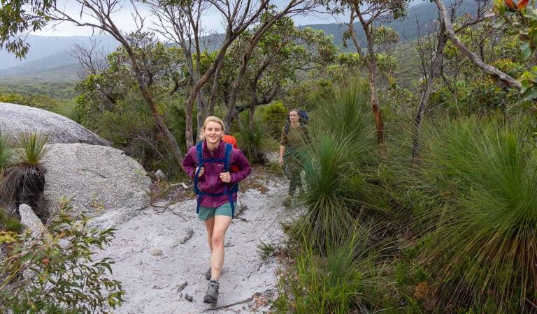
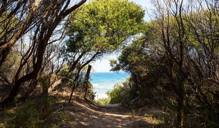
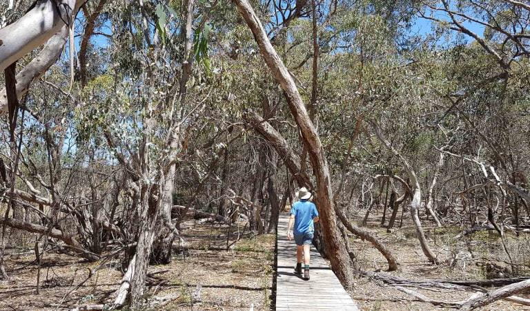
Walking
Heading west out of Bairnsdale on Main Street/Princes Highway/A1, turn right onto Bairnsdale-Dargo Road/C601 and follow for about 42 kilometres. You can turn right at Wallers Road and follow that to the end to reach the Den of Nargun picnic area. Forr access to Billy Goat Bend camping area, either turn left off Wallers Road and head north along Park Road, or turn right off the Bairnsdale-Dargo Road/C601 onto Billy Goat Bend Road, and follow the signs to the camping area.
Angusvale campground is located at the end of Mitchell River Road, further north along the Bairnsdale-Dargo Road/C601. Turn right off the C601 and follow the track for 16 kilometres.
To access the eastern side of the park, turn right off the C601 onto Lindenow-Glenaladale Road. Cross the bridge over the Mitchell River and turn left to stay on Lindenow-Glenaladale Road. Turn right at Weir Road and stay on it until you are continuing along Wattle Creek Road and see entry signs to the park.
To visit the Old Weir day visitor site, turn left off Weir Road onto Milton Park Road. Please be aware that the end of this road down into the day visitor site is rated as a Double-Black Diamond 4WD track, and is suitable for experienced four-wheel-drivers only. Visitors can access the site on foot - park your vehicle at the top of the hill and walk approximately one kilometre to the site. Please take plenty of water.
When you're there
Need to know
Walking
Accessibility
Visiting a park can be more of a challenge for people with disabilities, however in Victoria there are a wide range of facilities to help people of all abilities enjoy our wonderful parks around the state.
Assistance dogs are welcome in Parks Victoria parks and reserves. Entry requirements apply for parks and reserves that are usually dog prohibited, such as national parks.
Driving in the park
All roads and tracks within the park are gravel, with the Mitchell River Road and Wallers Road being readily accessible for most vehicles. All other tracks would require a 4WD to navigate, with varying levels of experience required. Find more safety tips on our Safety in nature page.
Mitchell River National Park Joint Management Plan
Mitchell River National Park is on the Country of the Brabralung clan. The park has a rich cultural history that tells of tribal conflict, ceremonies, food gathering, community life and local spirits. The Gunaikurnai and Victorian Government Joint Management Plan provides a description of joint management strategies and actions that are specific to Mitchell River National Park.
Change of Conditions
Nature being nature, sometimes conditions can change at short notice. It’s a good idea to check this page ahead of your visit for any updates.
-
Rock Creek (Mitchell River National Park, Mitchell and Wonnangatta Rivers Heritage River)
Angusvale Track/Horton’s Crossing Closure
Angusvale Track/Horton’s Crossing ClosureDue to storm events, the Angusvale Track past the Rock Creek Camp area has been subject to landslip.This Landslip now prevents vehicles from accessing the ford crossing through the Mitchell River between Angusvale Track and Hortons Track. Please do not attempt to cross the river from Hortons Track as there is no access to the West side of the park from this point.The Rock Creek Camp area is still currently accessible via Angusvale Track/Mitchell Views Track of the Mitchell River Road.
Similar Trails
Budj Bim National Park
Walking at Lake Tyers State Park
Gippsland Lakes Coastal Park
Snowy River National Park
Walking in Warby-Ovens