Explore
Stony Creek Campground
Nestled amongst the native pines and rocky outcrops near the towering peaks of Mt Rosea, this hike-in camping area is perfect for schools and groups undertaking the Grampians Peaks Trail and other overnight walks in the Wonderland and Mt Rosea areas.
Stony Creek Campground is a designated group hike-in area that offers eight timber tent platforms, each accommodating up to two people.
Bookings are for exclusive use of the site, and available for groups no larger than 16 people.
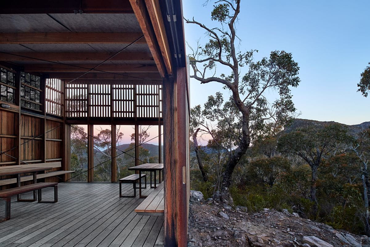
Campground facilities include non-flush toilet, communal gathering area, day use shelter and untreated water tanks. Whilst there is untreated rainwater tanks at this campground, we cannot guarantee there will be water.
Vehicle access and parking is available off Stony Creek Road for high clearance 4WD vehicles. Gate keys are provided by Brambuk the National Park and Cultural Centre upon confirmation of a booking.
Additional bush camps may be available along Stony Creek road and are allocated on a first in first served basis. Groups are required to register their overnight walks by completing an Education Group Activity Statement prior to arrival.
Things to do
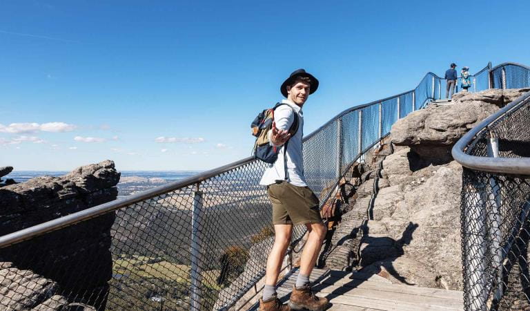
The Pinnacle walks
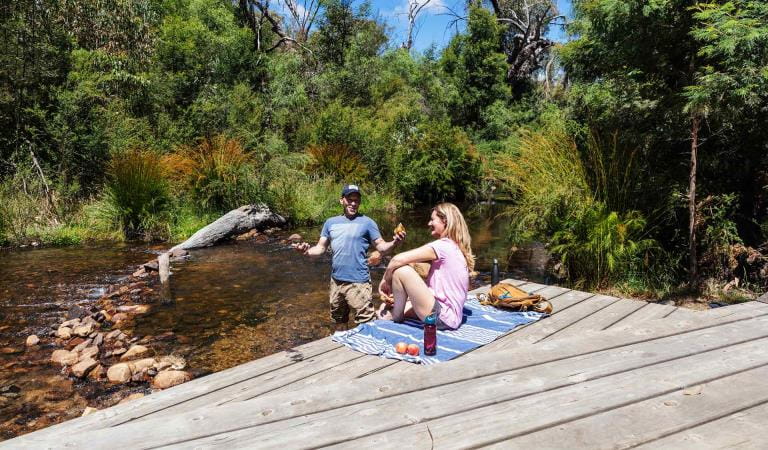
Zumsteins Historic Area
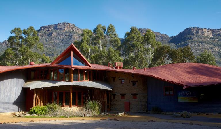
Brambuk The National Park and Culture Centre
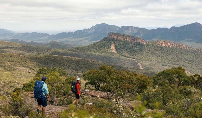
Grampians Peaks Trail
How to get there
Stony Creek Campground
Sites
When you're there
Pay a visit to Brambuk the National Park and Cultural Centre in Halls Gap, there you will find a range of guides which will help you to make the most of your visit to the Grampians. You can also learn about the rich Aboriginal culture of Gariwerd.
Download the Grampians National Park visitor guide to get the most out of your park visit.
Need to know
Stony Creek Campground
Safety tips for a great visit
Stay safe and get the most out of your park visit by preparing for natural hazards and other outdoor risks in Victoria’s parks. You are responsible for your own safety and the safety of those in your care.
Accessibility
Visiting a park can be more of a challenge for people with disabilities, however in Victoria there are a wide range of facilities to help people of all abilities enjoy our wonderful parks around the state.
Bushfire awareness
Stony Creek Campground in the Grampians National Park is in the Wimmera fire district. Bushfire safety is a personal responsibility. Anyone entering the park during the bushfire season needs to stay aware of forecast weather conditions. Check the Fire Danger Rating and for days of Total Fire Ban at emergency.vic.gov.au, on the Vic Emergency App or call the Vic Emergency Hotline 1800 226 226.
No fires may be lit on Total Fire Ban days. On Catastrophic Fire Danger Rating days this park will be closed for public safety. Closure signs will be erected but do not expect an official warning.
Change of Conditions
Nature being nature, sometimes conditions can change at short notice. It’s a good idea to check this page ahead of your visit for any updates.
-
Strachans Campground (Grampians (Gariwerd) National Park)
Strachans Campground Closed for Upgrades
Strachans Campground will be closed to visitors between 13 April and 29 October 2026 while major upgrade works are completed.Alternative campgrounds such as Buandik or Boreang Campgrounds can be booked atFor further information contact Brambuk the National Park and Cultural Centre in Halls Gap (Ph 8427 2058). -
Red Gum Walk (Grampians (Gariwerd) National Park)
Red Gum Walk – Temporary closure
The Red Gum Walk remains closed to visitors due to track damage from the 2024/25 summer bushfires.For more information on alternate walks in the western section of the Grampians (Gariwerd) National Park visit Brambuk the National Park and Cultural Centre in Halls Gap or call 03 8427 2058. -
The Fortress Walk (Grampians (Gariwerd) National Park, Victoria Range Remote and Natural Area)
The Fortress Walk and Hike-in Campground – Temporary closure
The Fortress Walk and The Fortress Hike-in Camp remain closed to visitors due to track damage from the 2024/25 summer bushfires.For more information on alternate walks in the western section of the Grampians (Gariwerd) National Park visit Brambuk the National Park and Cultural Centre in Halls Gap or call 03 8427 2058. -
The Chimney Pots Walk (Victoria Range Remote and Natural Area, Grampians (Gariwerd) National Park)
The Chimney Pots Walk – Temporary closure
The Chimney Pots Walk remains closed to visitors due to track damage from the 2024/25 summer bushfires.For more information on alternate walks in the western section of the Grampians (Gariwerd) National Park visit Brambuk the National Park and Cultural Centre in Halls Gap or call 03 8427 2058. -
Mafeking Picnic Area (Grampians (Gariwerd) National Park)
Mafeking Picnic Ground and Brownings Loop Walk – Temporary closure
Mafeking Picnic Area and Brownings Loop Walk remain closed to visitors due to damage from the 2024/25 summer bushfires.For more information visit Brambuk the National Park and Cultural Centre in Halls Gap or call 03 8427 2058. -
Billimina Walk (Grampians (Gariwerd) National Park)
Billimina Walk – Temporary closure
Billimina Walk and Rock Art Shelter remain closed to visitors due to track damage from the 2024/25 summer bushfires.An alternative walk in this area is the Manja Walk to the Manja Shelter, which is an Aboriginal Rock Art site in the Victoria Range.For more information visit Brambuk the National Park and Cultural Centre in Halls Gap or call 03 8427 2058. -
Mackenzie Falls Day Visitor Area (Grampians (Gariwerd) National Park)
Mackenzie Falls (Migunang wirab) - Upcoming closure for major construction works – 9 February 2026 to the end of 2026
This update is to provide information for the planned construction work at Mackenzie Falls in the Grampians (Gariwerd) National Park, and closures while the works happen.The works at Mackenzie Falls precinct includes the construction of a new viewing platform at the base of the falls, upgrades to the carpark and the Bluff Lookout Walk and other important safety improvements to stabilise rock and improve walking tracks.
The Mackenzie Falls carpark and all walking tracks in the precinct including Broken Falls Walk, Mackenzie Falls Walk to the base (from the carpark), the Bluff Lookout Walk, and parts of Mackenzie Falls River Walk will close when construction starts on Monday, 9 February, 2026, and we anticipate that construction work will finish by the end of 2026.The carpark will be a construction site throughout the works period with large machinery operating and materials being stored on site. There will be no access for all vehicles or visitors at Mackenzie Falls Precinct during construction.Zumsteins Picnic AreaWhen construction works start at Mackenzie Falls precinct, parking at the popular Zumstein picnic area will be limited, especially for large vehicles (buses and caravans) during weekends and holiday periods.Zumsteins to Fish Falls – This popular walk to the beautiful Fish Falls is a 1.5 to 2 hour return walk (Grade 3) – walkers should have a reasonable fitness level, carry water and wear sturdy walking shoes as the track can be rocky with uneven surfaces and some steep sections.Mackenzie River WalkFrom May 2026 until works are complete, the base of Mackenzie Falls will not be accessible via the Mackenzie River Walk from Zumsteins Picnic Area.
For further information on the Mackenzie Falls (Migunang wirab) project visit https://www.parks.vic.gov.au/projects/western-victoria/mackenzie-falls-revitalisation
Popular day visitor sites such as Reeds Lookout, the Balconies, Boroka Lookout, Silverband Falls and various walks with large bus carparking will still be available. For further information on the Mackenzie Falls River Walk contact Brambuk the National Park and Cultural Centre in Halls Gap (Ph 8427 2058).Please keep up to date with closures through the Change of Conditions page for Grampians (Gariwerd) National Park. -
Grampians (Gariwerd) National Park
Grampians (Gariwerd) National Park - Roads Update 15.10.2026
The Grampians (Gariwerd) National Park has roads temporarily closed due to bushfire and weather impacts.Please observe road closures, hazard signage and always drive to conditions.Key closures· Lodge Rd will be closed between Rose Creek Rd and Red Rock Rd from 13/10/26 to 8/12/26 for major roadworks. Heavy trucks will be entering the park via Green’s Creek Rd and travelling via Glenelg River Rd and Lodge Road. Trucks will exit the park via Red Rock Rd and Billywing Rd· Wallaby Rocks Tk is closed between Rose Creek Rd and Asses Ears Rd. The road is impassable due to wet and boggy sections· Henham Track South is closed between Serra Rd and Victoria Valley Rd. The road has severe washouts and is impassable.Please refer to the attached up-to-date road report below.Attachments: Grampians (Gariwerd) National Park - Road Report 15.10.2026 (1) (231KB)
Upcoming Trail Running Event – GPT 100 Miler 2026
The GPT 100 Miler global trail running event is being held in Grampians (Gariwerd) National Park from Thursday 5 November to Sunday 8 November 2026.The event follows the full 162km length of the Grampians Peaks Trail and may involve temporary delays for hikers. Also, expect busy periods at trailheads and campgrounds.Short course events will also be held in the Wonderland Range on Thursday 5 November, with runners on the Pinnacle Walking Track and an Aid Station at Wonderland car park.Please drive with care around Aid Stations and look out for parked vehicles, runners, and event Marshalls.For more detail on the event visit: GPT 100 Miler 2026If you are visiting the area on these dates and require more detailed information, contact Brambuk the National Park and Cultural Centre on (03) 8427 2058.Grampians (Gariwerd) National Park – Information and Access Update Spring 2026
Please see attached the Spring edition of the Information and Access Update with key closures and upcoming park activities.Attachments: Grampians (Gariwerd) National Park Information Access Update SPRING 2026 (1) (402KB)
-
Brambuk the National Park and Cultural Centre (Brambuk - The National Park and Cultural Centre Park, Grampians (Gariwerd) National Park)
Brambuk the National Park and Cultural Centre – Building Upgrades in 2026
The Cultural Centre is closed for refurbishment.Parks Victoria is working with a strategic partnership committee of Gariwerd Traditional Owners from Barengi Gadjin Land Council, Eastern Maar Aboriginal Corporation, and Gunditj Mirring Traditional Owners Aboriginal Corporation to ‘reimagine’ the future of Brambuk the National Park and Cultural Centre.Building upgrades are essential to ensure the centre meets current services requirements, accessibility, and compliance to current building regulation. New visitor experiences and activation opportunities including Aboriginal arts, community events and cultural exhibitions are being explored as Brambuk moves towards operation by a Gariwerd Traditional Owner entity.The National Park Information Centre and gift shop remain open.For up-to-date national park information, brochures, maps, permits and access advice contact information staff at Brambuk the National Park and Cultural Centre info@parks.vic.gov.au or phone 8427 2058For Junior Ranger School holiday programs visit https://www.parks.vic.gov.au/things-to-do/junior-rangersFor a list of Grampians (Gariwerd) National Park Licensed Tour Operators Visit https://www.parks.vic.gov.au/ltoFurther details on the Brambuk Reimagining project can be found on the Parks Victoria website https://www.parks.vic.gov.au/projects/western-victoria/brambuk-cultural-centre-upgrade
Similar experiences