Grampians National Park is part of the Gariwerd Aboriginal cultural landscape. Parks Victoria respects the deep and continuing connection that Traditional Owners have to these lands and waters, and we recognise their ongoing role in caring for Country.


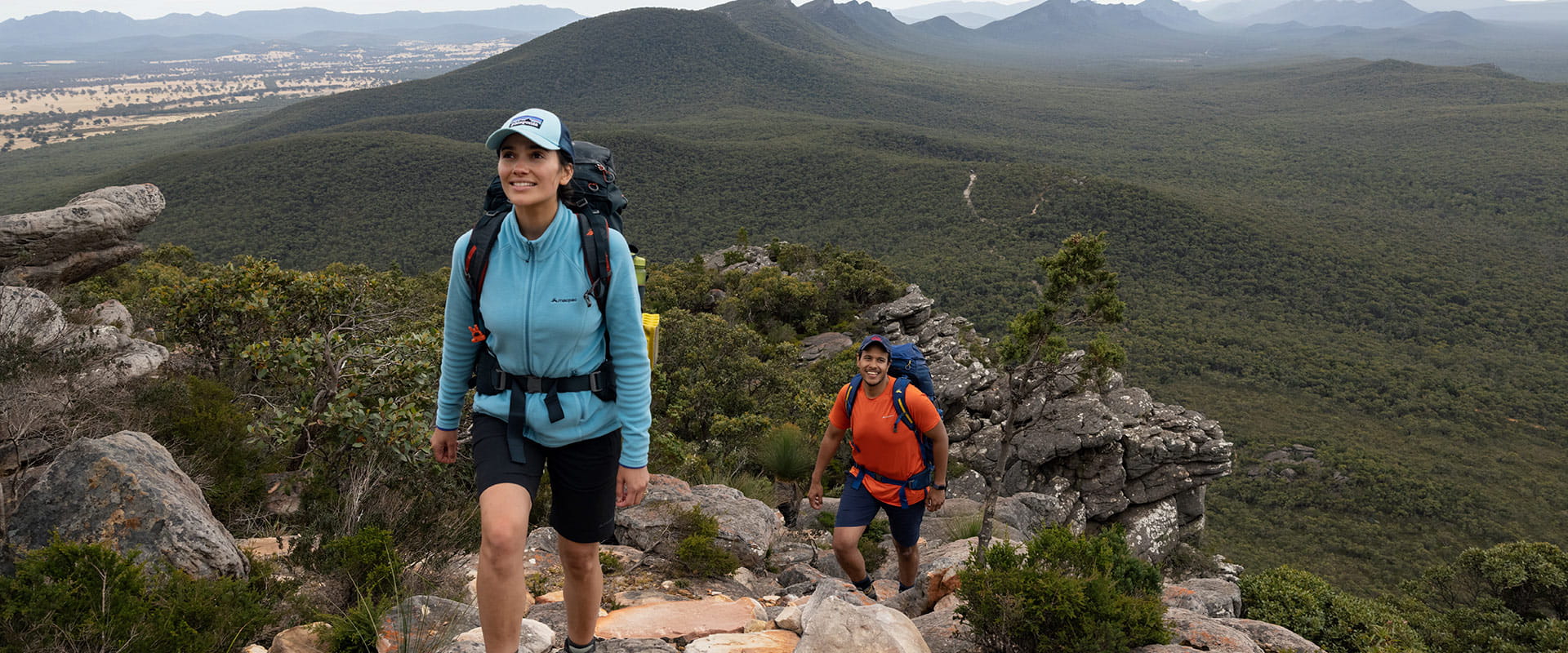
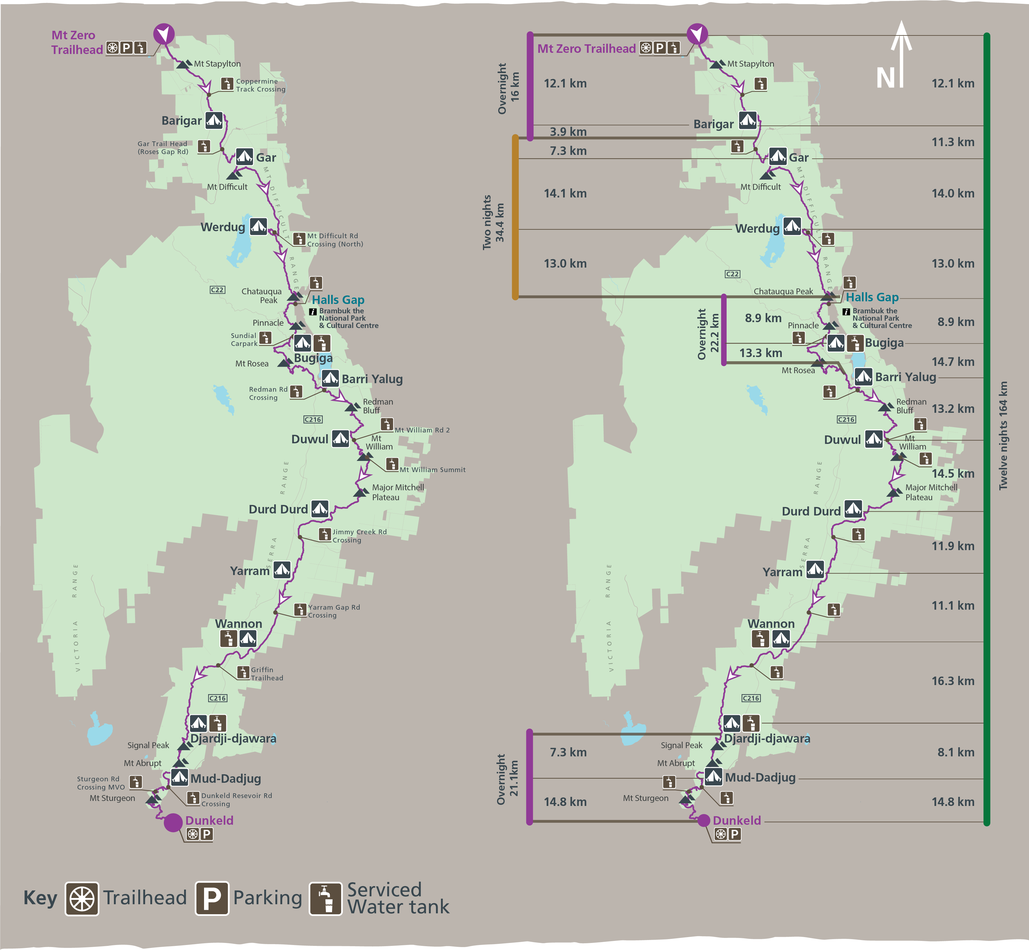
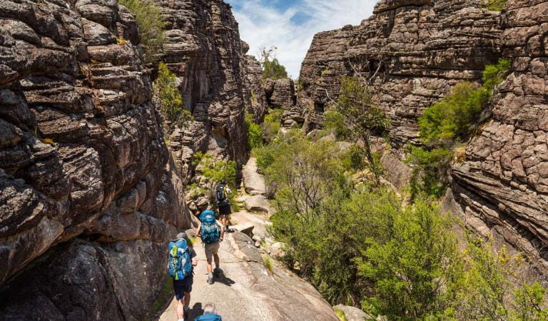
The spectacular Grampians Peaks Trail (164km) is a challenging 13-day/12-night hiking experience through a variety of terrain in the Grampians (Gariwerd) National Park. Starting at Mt Zero in the north and heading south, the trail passes over the summit of Gar (Mt Difficult), continues through Halls Gap with hiking highlights including Redman Bluff, Mount William, Major Mitchell Plateau, Signal Peak, Mt Abrupt, Mt Sturgeon (and more) before reaching Dunkeld in the south.
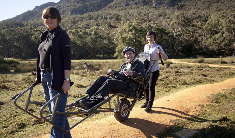
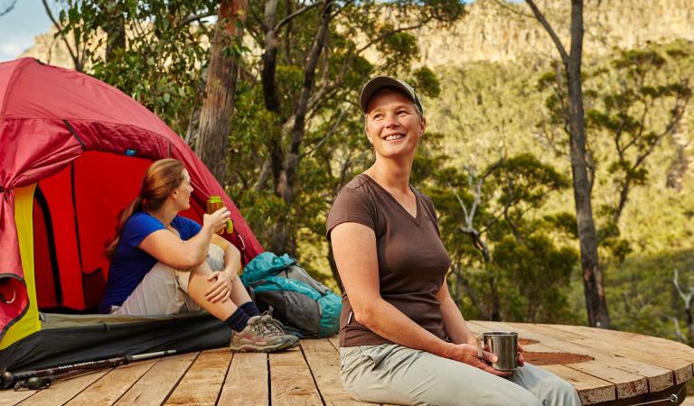
Stay at unique hike-in campgrounds along the trail, climb dramatic mountain peaks with panoramic views and hike along rugged rocky ridgelines. Experience a rich diversity of plants and animals and the ancient Aboriginal culture of Gariwerd. The trail caters for a variety of hiking styles, from self-guided walkers and groups to school groups and fully-facilitated hikes with a Licensed Tour Operator.
New changes to booking system
We have made changes to the Grampians Peaks Trail booking system making it easier to book and with more flexibility in how you plan your hike. Find out more.
 Plan and prepare
Whether going for a day walk, multi-day hike or the full 13-day experience, start planning your Grampians Peaks Trail adventure and download the Grampians Peaks Trail Plan and Prepare Guide.
 Book
Book
Book on-trail hike-in campgrounds before you start a multi-day hike (camping fees apply). See Visit Grampians for off-trail accommodation, tours and transport options. Bookings are now open to 1 March 2025.
 Get packing
Pack your gear and equipment, food and water. Include maps and safety devices. See the handy packing list in the Grampians Peaks Trail Plan and Prepare Guide.
 Set off and stay safe
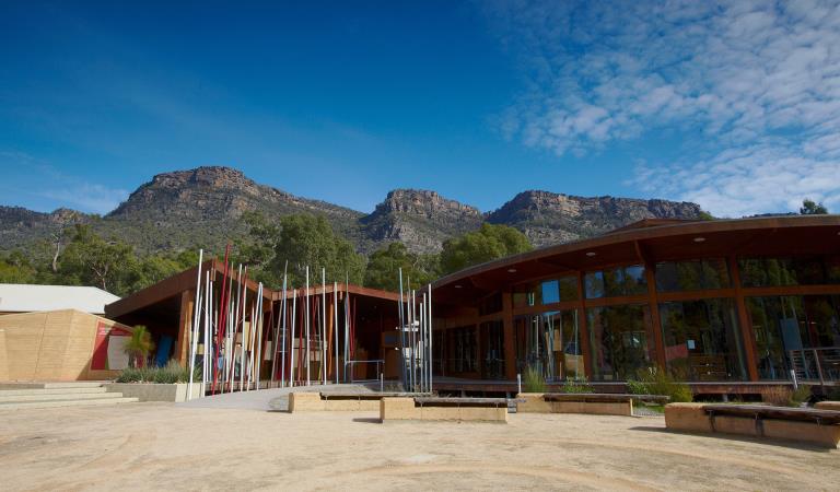
Set off on your Grampians Peaks Trail adventure only when know how to walk it safely. Read the safety and emergency information, and check for any last minute changes of conditions. You can also call into Brambuk the National Park and Cultural Centre in Halls Gap and speak to knowledgeable staff for the latest park information.
 Care for Country
Minimise your environmental impact when completing the Grampians Peaks Trail. Take out what you take in – leave no rubbish behind. Stay on the trail, leave pets, drones and loud music at home. Campfires are not permitted.
 Share
Share
Share photos and videos of your Grampians Peaks Trail adventure on social media and inspire others to do it. #grampianspeakstrail
Choose your journey
Grampians Peaks Trail
Choose an option below and find out more.
Book Grampians Peaks Trail your way
We've opened up flexibility in how you choose to hike GPT. Plan your itinerary, then use the interactive map to book your hike.
Choose your own adventure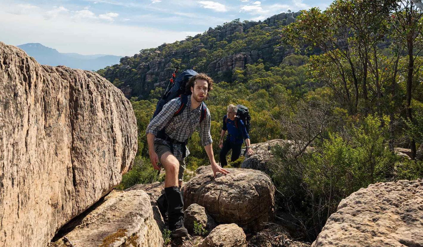
Full Grampians Peaks Trail (north to south)
If you’re bold and committed to completing this 13-day/12-night hike, you will have an unforgettable adventure and be rewarded with some of the best hiking trails and panoramic views in Australia.
Explore the full trail experience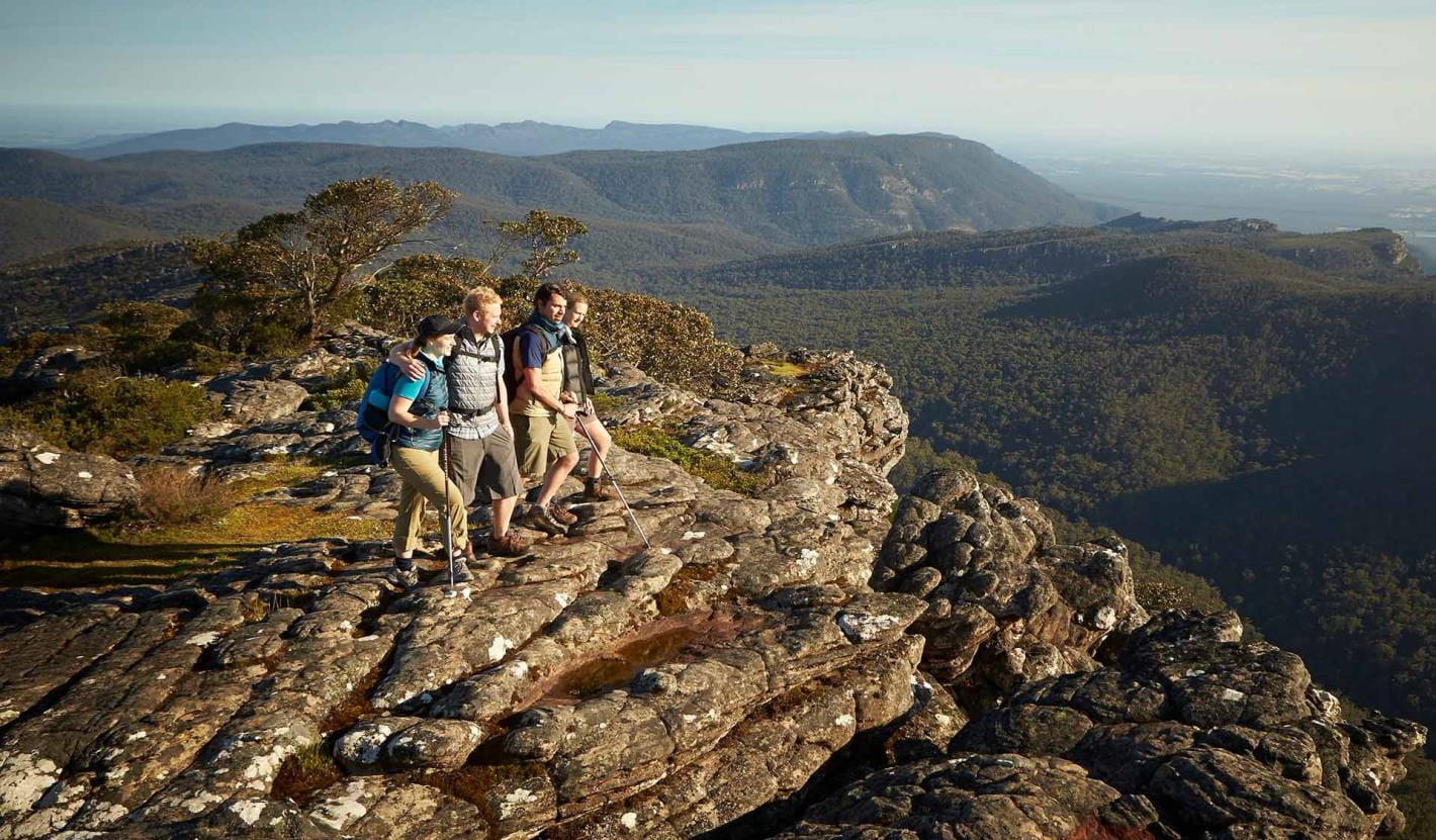
Northern Peaks Experience (Huts)
The Grampians Peaks Trail provides hikers with the option of staying in eco-friendly hiker huts on the Northern Peaks’ (Gar and Werdug) two-night itinerary.
Experience the Northern Peaks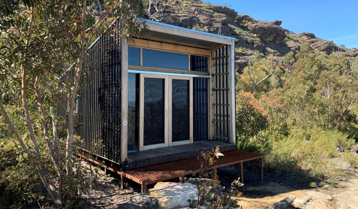
Multi-day hikes (3 days or more)
For people who enjoy an outdoor adventure but don’t have time to do the full 13-day Grampians Peaks Trail, breaking it up into smaller 3-day hikes is a great way to challenge yourself, build-up long distance hiking skills and experience the spectacular living cultural landscape of Gariwerd. Return again at your leisure to complete more sections of the trail. You can also add individual overnight and 3-day hike itineraries together to create your preferred hiking adventure.
Explore multi-day hikes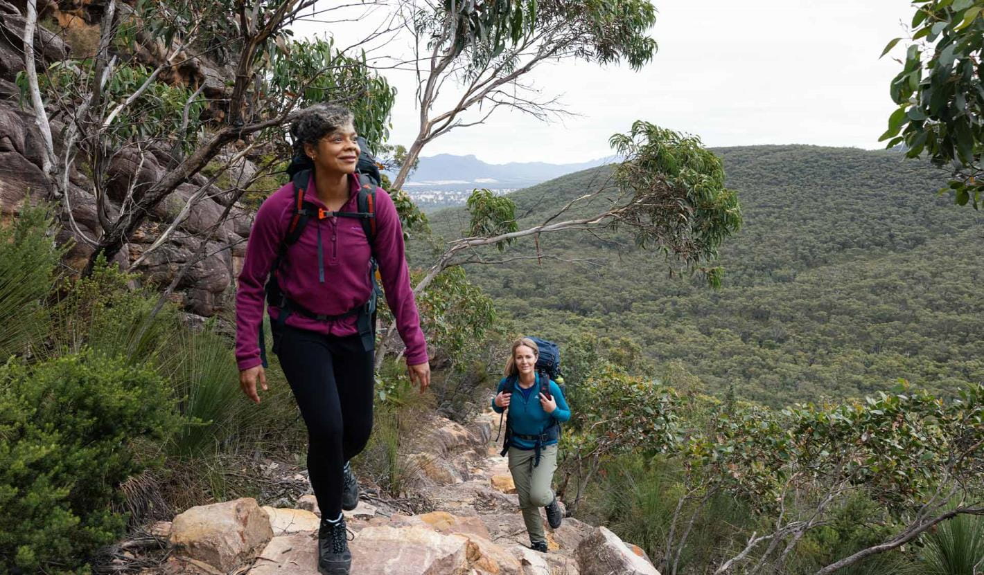
Overnight hikes
Choose from three different 2-day hikes available and explore the trail that little bit further.
Explore overnight hikes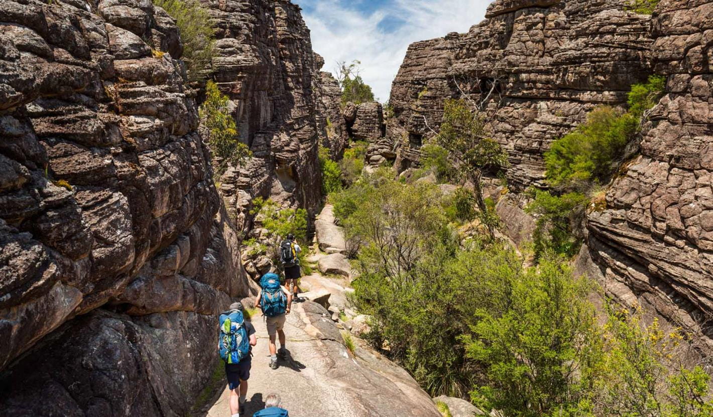
Day walks
Day walks are a great way to try smaller sections of the trail. Choose from some of our favourites in northern, central and southern Grampians.
Explore day walks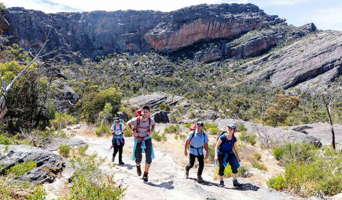
School and independent groups
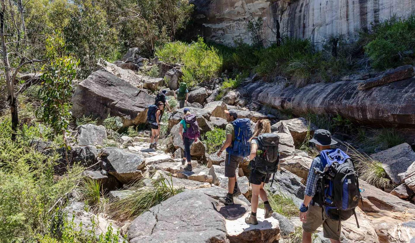
Schools including clubs and independent groups, wishing to undertake the Grampians Peaks Trail have the option of walking and camping on trail or camping off trail in designated group camps or private accommodation nearby.
To walk and camp on trail, group sizes are up to 16 people, depending on site availability.
Experience with a Licensed Tour Operator
One of the best ways to experience the Grampians Peaks Trail is with a Licensed Tour Operator. Whether you're looking for a fully guided experiences or just support services, here you'll find a Licensed Tour Operator that assist you.
Go with a Licensed Tour Operator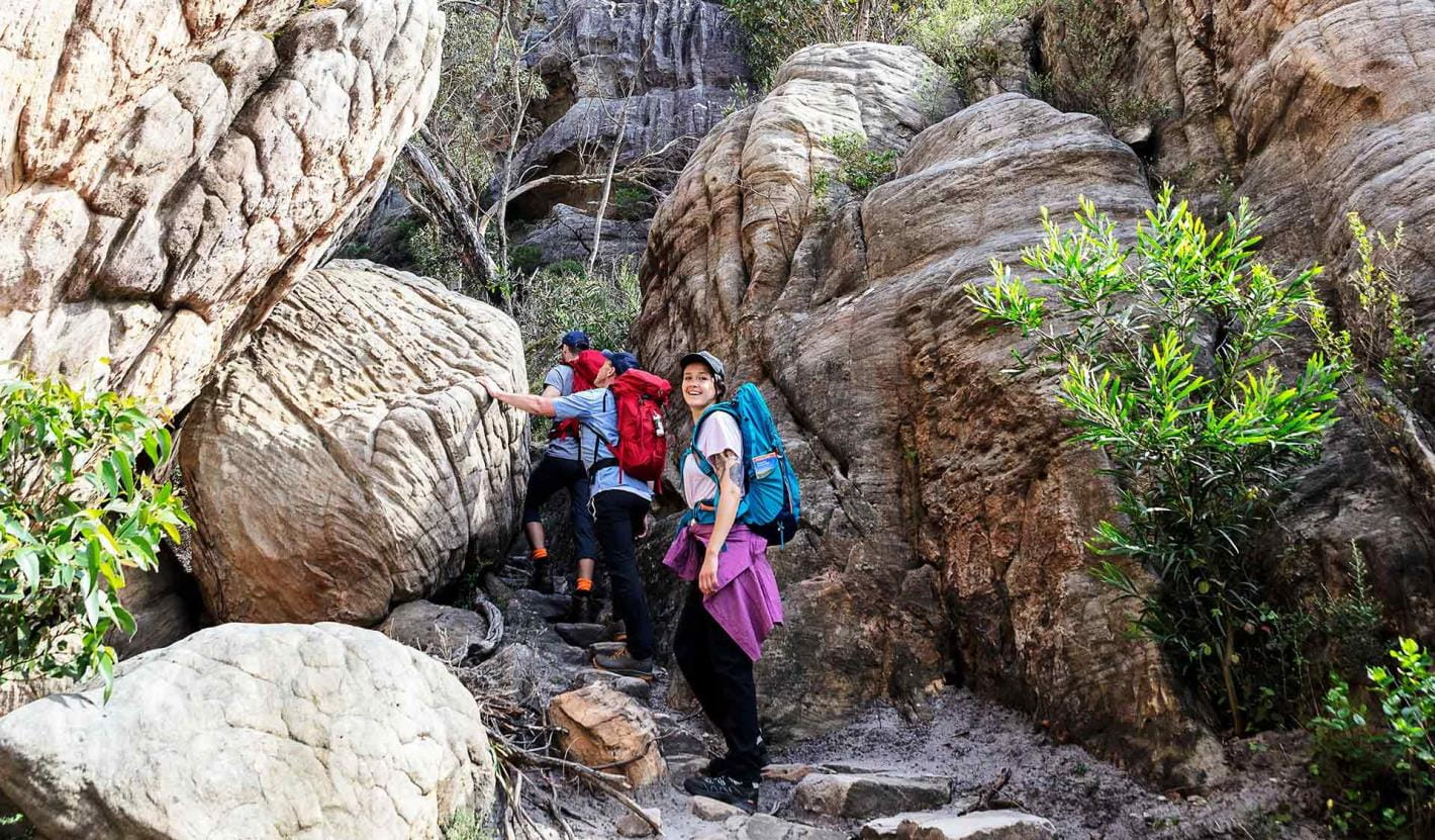
Enhance your experience
Grampians Peaks Trail
Brambuk The National Park and Cultural Centre
Explore the region
Prepare for your adventure
Grampians Peaks Trail
Water safety
Plan and prepare
Change of park conditions
During the summer of 2024-2025, widespread bushfires impacted over 135,000 hectares in the central, west and south-eastern sections of Grampians (Gariwerd) National Park. For up-to-date information on what’s open and closed along the Grampians Peaks Trail, view change of conditions on the Grampians (Gariwerd) National Park page. For further information on the phased fire recovery program in Grampians (Gariwerd) National Park please visit the Grampians (Gariwerd) National Park Fire Recovery page.
More information about Grampians Peaks Trail
GPT topographic maps
Visit Brambuk - The National Park and Cultural Centre in Halls Gap for topographic maps and speak to knowledgeable staff for the latest park information.
You can also order Grampians Peaks Trail topographic maps over the phone from Brambuk, call 8427 2058 (open 9am-5pm daily; except Christmas Day).
7 Things You Need To Know About Hiking the Grampians Peaks Trail
Laura Waters, long distance hiker and author, was one of the first hikers on the trail, setting out on the first day of the GPT opening. Read the Ultra Hiker article.
Hike the Grampians Peaks Trail with Caro Ryan
These videos, in partnership with Caro Ryan from LotsaFreshAir, show you the terrain, what to expect and include helpful tips on how to prepare for this challenging Grade 4 hike. Join Caro on her experience below.
How to get there
The Grampians Peaks Trail runs from the northern point of the Grampians National Park (near Dadswells Bridge) to the southern point of the park (at Dunkeld). It is located in Western Victoria, a three-hour (260km) drive from Melbourne and a five-hour (460km) drive from Adelaide. The central Grampians is easily accessed from the villages of Halls Gap and Wartook and is a scenic day trip from the regional towns of Hamilton, Horsham, Stawell and Ararat. It is also a key destination on the internationally renowned Great Southern Touring Route.
Change of Conditions
Nature being nature, sometimes conditions can change at short notice. It’s a good idea to check this page ahead of your visit for any updates.
-
Notices Affecting Multiple Sites
Mount Zero Car Park - Closed for Upgrade Works
Mount Zero Car Park (Mura Mura Trailhead), including the picnic and toilet facilities are CLOSED while Parks Victoria undertakes construction works.These works are part of upgrades to trailheads along the Grampians Peaks Trail which will improve trail access, carparking, visitor and picnic facilities, signage and landscaping. Construction is underway and is scheduled to be completed by February 2026.During construction:- There will be no day
or overnight parking available at Mount Zero Picnic Area (Mura Mura
Trailhead).
- Day and overnight hikers can access the
Grampians Peaks Trail at Mount Zero Picnic Area (Mura Mura
Trailhead) via drop
off /pick up only at the
designated area on Mount
Zero Road.
- Mount Zero (Mura Mura) walk can be accessed via drop off/pick up
only on Mount Zero Rd, or via
Stapylton Loop walk from Stapylton Campground.
- Toilets are available at Hollow Mountain Car
Park and Stapylton Campground.
Day walkers wishing to complete the Stapylton Loop walk can access via the trailhead at Stapylton Campground. Please note there will be limited car parking along Olive Plantation Road, north of the campground entry.We apologise for any inconvenience while these improvement works take place.For further information on the closure please contact Brambuk the National Park and Cultural Centre at brambuk@parks.vic.gov.au or call 13 1963.Grampians Peaks Trail – Hike-in Campground Closures (sections C3-C5 & S1-S2)
The central and southern sections of the Grampians Peaks Trail (C3-C5 and S1-S2) re-opened for day walking only on the 10th of November 2025.These sections were heavily impacted by the 2024/25 Summer bushfires and incorporate the trail from Borough Huts Campground to Griffin Trailhead (including section S1 –S2 Yarram Gap Road to Griffin Fireline).Barri Yalug, Duwul, Durd Durd, Yarram and Wannon Hike-in Campgrounds and facilities remain closed, as works take place to repair damaged toilets, water tanks, elevated walkways, tent platforms, shelters, and signage.Please note:- Drinking water is available
at serviced water tanks only, located at Grampians Peaks Trail Road
crossings. Important: drinking water is not available at the
Hike-in Campgrounds. Hikers must adjust accordingly and carry sufficient
drinking water.
- Toilet facilities are
available at Borough Huts, Jimmy Creek, Kalymna and Wannon Crossing
campgrounds.
- Mt William Road is closed
until further notice, and vehicle access to the Mount William carpark is
unavailable.
- Please see the Plan and
Prepare Guide for more information on how to plan and prepare, before
accessing the Grampians Peaks Trail.
Please remember, this fire affected landscape is fragile. Stay on formed tracks and be mindful that walking track and surrounding forest conditions have changed.Visit our fire recovery project web page for relevant upgrade information.Check what's open and closed in Grampians (Gariwerd) National Park on the change of conditions web page. If you are visiting the area and require more detailed local information, visit Brambuk the National Park and Cultural Centre at 277 Grampians Rd Halls Gap, open 9am to 4pm, 7 days a week. Alternatively, you can call (03) 8427 2258 or email brambuk@parks.vic.gov.au - There will be no day
or overnight parking available at Mount Zero Picnic Area (Mura Mura
Trailhead).
-
Sundial Peak Walk (Grampians (Gariwerd) National Park)
Sundial Peak Walk and The Bleachers (Sundial Peak) – Temporary closure
Sundial Peak Walk and The Bleachers (Sundial Peak) – Temporary closureSundial Peak Walk and The Bleachers (Designated Climbing Area – Bouldering (Site 83) both remain closed due to track damage from the 2024/25 summer bushfires.Alternative walks from Sundial carpark including The Pinnacle Walk and the Lakeview Lookout Walk.For more information visit Brambuk the National Park and Cultural Centre in Halls Gap or call 03 8427 2058 -
Grampians (Gariwerd) National Park
Grampians (Gariwerd) National Park – What’s Open What’s Closed Update 23.01.2026
During the summer of 2024/2025 the southern and western areas of Grampians (Gariwerd) National Park and the central section of Grampians Peaks Trail were impacted by multiple bushfires. Since then, a staged re-opening has commenced and many popular visitor areas have re-opened in the Northern, Wonderland and Southern areas of the park. However, some visitor sites and roads remain closed in the Sundial, Mount William, Victoria Range, Victoria Valley and Wallaby Rocks areas.Roads in fire impacted areasFor up-to-date information please refer to the road report on the change of conditions listings.For more detail on “What’s Open What’s Closed”Please refer to the attached “What’s Open What’s Closed” January 23, 2026, Park Update. It provides a park wide compilation of the staged fire recovery reopenings in 2025/26.For further information, visit Brambuk the National Park and Cultural Centre in Halls Gap, call Parks Victoria on 131963 or go to parks.vic.gov.auAttachments: GGNP_Park Update_Whats Open-Closed_Jan 23 (1,023KB)
Grampians (Gariwerd) National Park - Roads Update 30.01.2026
The Grampians (Gariwerd) National Park has some roads temporarily closed due to bushfire and flood impacts.Please be aware the movement of visitors in some areas of the National Park is restricted.Please refer to the attached up-to-date road report below.Attachments: Grampians (Gariwerd) National Park - Road Report - 30.01.2026 (221KB)
-
Mackenzie Falls Day Visitor Area (Grampians (Gariwerd) National Park)
MacKenzie Falls (Migunang Wirab) - Upcoming closures for major construction works – February 2026 to mid-2026
This update is to provide information for the planned construction work at MacKenzie Falls in the Grampians (Gariwerd) National Park, and closures while the works happen.The works at MacKenzie Falls precinct includes the construction of a new viewing platform at the base of the falls, upgrades to the carpark and the Bluff Lookout Walk and other important safety improvements to stabilise rock and improve walking tracks.
The MacKenzie Falls carpark and all walking tracks in the precinct including Broken Falls Walk, MacKenzie Falls Walk to the base (from the carpark), the Bluff Lookout Walk, and parts of MacKenzie Falls River Walk will close when construction starts in February 2026, and we anticipate that work will run through to mid-2026.The carpark will be a construction site throughout the works period with large machinery operating and materials being stored on site. There will be no access for all vehicles or visitors at MacKenzie Falls Precinct during construction.Zumsteins Picnic AreaWhen construction works start at MacKenzie Falls precinct, parking at the popular Zumstein picnic area will be limited, especially for large vehicles (buses and caravans) during weekends and holiday periods.Access to Fish Falls and the base of MacKenzie Falls will remain possible from the Zumsteins Picnic Area up to and including the Autumn School Holidays. However, there will need to be a full closure of Zumsteins and MacKenzie Falls for one week after the Summer School Holidays (prior to Autumn School Holidays) due to helicopter operations. From May until works are complete, the base of MacKenzie Falls will be inaccessible. Fish Falls will still be accessible from Zumsteins Picnic Area.Zumsteins to Fish Falls – This popular walk to the beautiful Fish Falls is a 1.5 to 2 hour return walk (Grade 3) – walkers should have a reasonable fitness level, carry water and wear sturdy walking shoes as the track can be rocky with uneven surfaces and some steep sections.MacKenzie River Walk – This is a 2 to 3 hour return walk (grade 3). Start at Zumsteins Picnic Area and follow the track to Fish Falls and then to the base of MacKenzie Falls. Walkers require a reasonable fitness level, need to wear sturdy walking shoes as the track can be rocky with uneven surfaces including steep sections and steps. Please ensure you carry plenty of water and be aware mobile phone service is limited. Access to the steps at the base of MacKenzie Falls to the MacKenzie Falls carpark will be closed to walkers, return by the same route to Zumsteins Picnic Area.
For further information on the MacKenzie Falls (Migunang Wirab) project visit https://www.parks.vic.gov.au/projects/western-victoria/mackenzie-falls-revitalisation
Popular day visitor sites such as Reeds Lookout, the Balconies, Boroka Lookout, Silverband Falls and various walks with large bus carparking will still be available. For further information on the MacKenzie Falls River Walk contact Brambuk the National Park and Cultural Centre in Halls Gap (Ph 8427 2058).
Please keep up to date with closures through the Change of Conditions page for Grampians (Gariwerd) National Park. -
Brambuk the National Park and Cultural Centre (Grampians (Gariwerd) National Park, Brambuk - The National Park and Cultural Centre Park)
Brambuk the National Park and Cultural Centre – Closures throughout 2026
· Cultural tours, activities and venue hire currently unavailable.· Park information centre and gift shop remain open.Parks Victoria is working with a strategic partnership committee of Gariwerd Traditional Owners from Barengi Gadjin Land Council, Eastern Maar Aboriginal Corporation, and Gunditj Mirring Traditional Owners Aboriginal Corporation to ‘reimagine’ the future of Brambuk the National Park and Cultural Centre.The reimagining project aims to renew Traditional Owner management arrangements of the Brambuk precinct and includes careful consideration of the tourism and visitor experiences, commercial opportunities, cultural education and training programs that may be available in the future. As part of this project, there are also building upgrades and refurbishments that require the Cultural Centre to be closed during 2026. However, the park information centre, gift shop and self-guided walks remain available.For Junior Ranger School holiday programs visit https://www.parks.vic.gov.au/things-to-do/junior-rangersFor a list of Grampians (Gariwerd) National Park Licensed Tour Operators Visit https://www.parks.vic.gov.au/ltoFor up-to-date national park information, brochures, maps, permits and access advice contact information staff at Brambuk the National Park and Cultural Centre info@parks.vic.gov.au or phone 8427 2058Further details on the Brambuk Reimagining project can be found on the Parks Victoria website https://www.parks.vic.gov.au/projects/western-victoria/brambuk-cultural-centre-upgrade


