Kinglake National Park accessibility
Kinglake National Park is 65km north-east of Melbourne. Access from Melbourne is by three main routes: the Melba Highway from Yarra Glen or Glenburn, the Heidelberg-Kinglake Road from St Andrews, and the Whittlesea-Yea Road from Whittlesea. Before visiting Kinglake National Park, check the park page for the latest changes of conditions.
Masons Falls
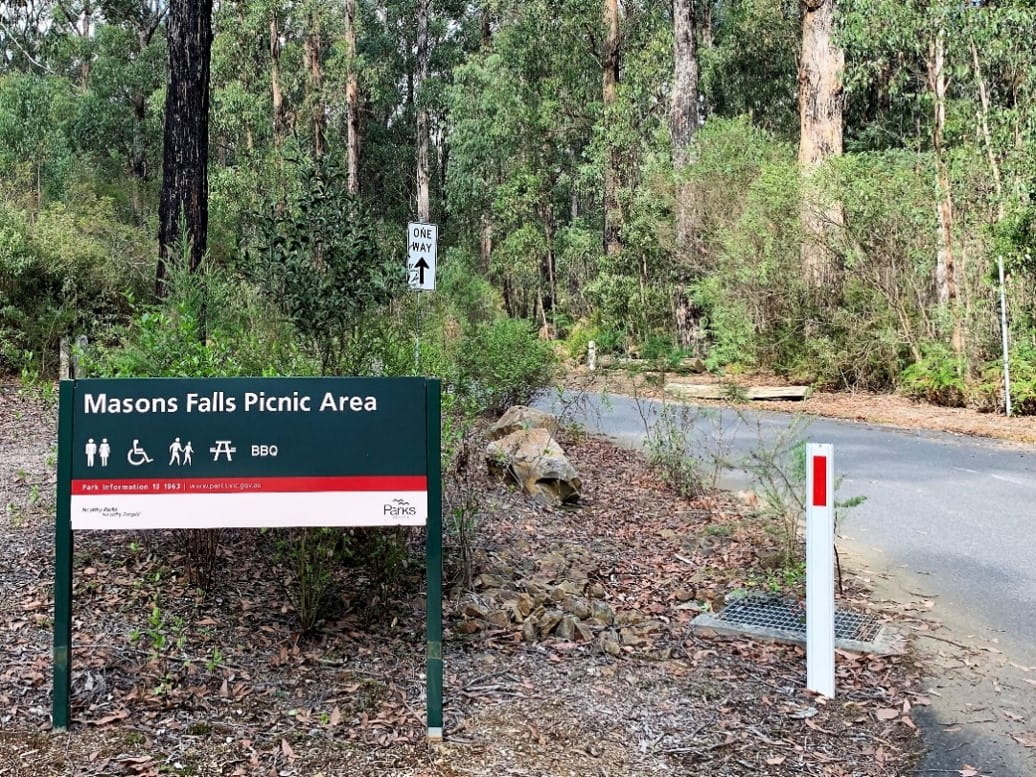
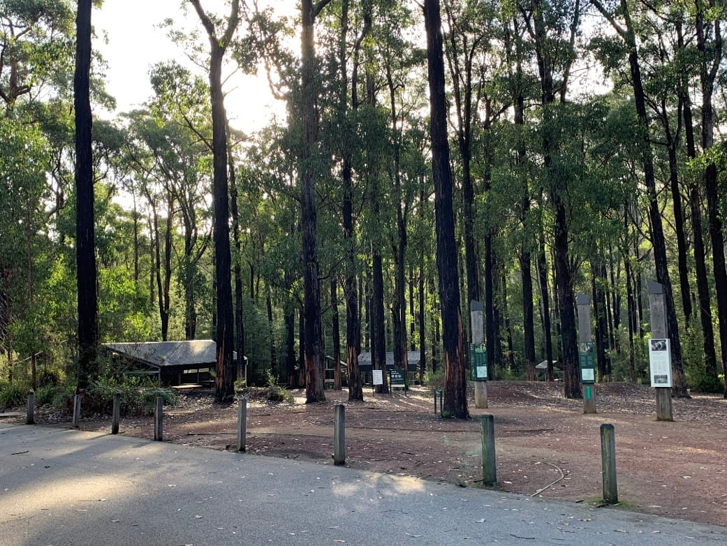
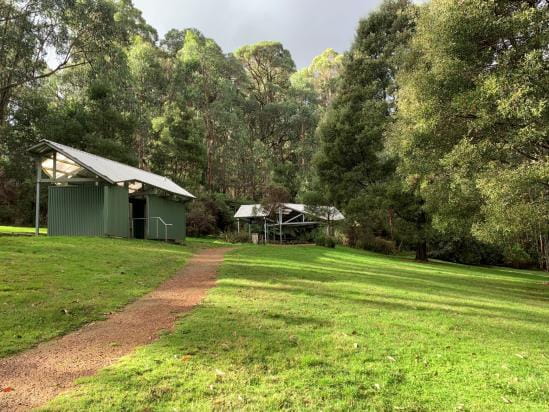
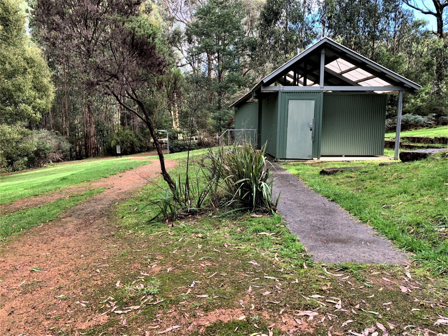
Masons Falls Picnic Area is a large open picnic ground set among towering gum trees that has gas barbecues, tables, picnic shelters, a wheelchair-accessible toilet, and an accessible walk to the waterfall viewing platform. Entry to Masons Falls is from National Park Road which is off the Whittlesea-Kinglake Road.
Park information Accessible picnic table and barbecue
Parking
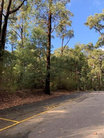
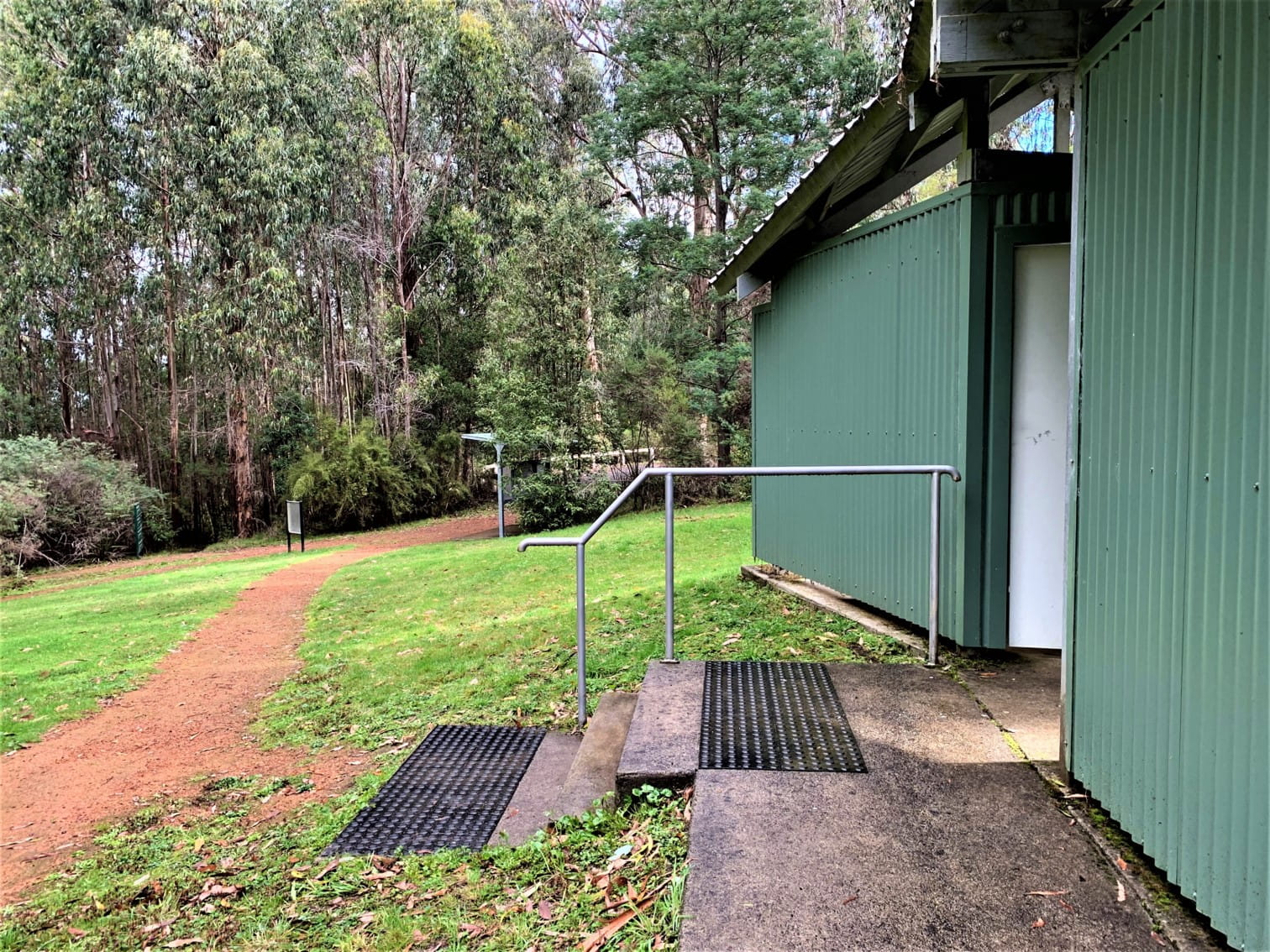
Entry to the car park is anti-clockwise, one way direction with two designated disabled parking spaces located adjacent to the entry area and toilet block. Signage for the 2 disability car spaces is very faded and lacks yellow line borders. The car park is sealed bitumen and accommodates an additional 55 vehicles. Bus parking is located at the rear section of the car park on the left hand side of the road just after the entry area.
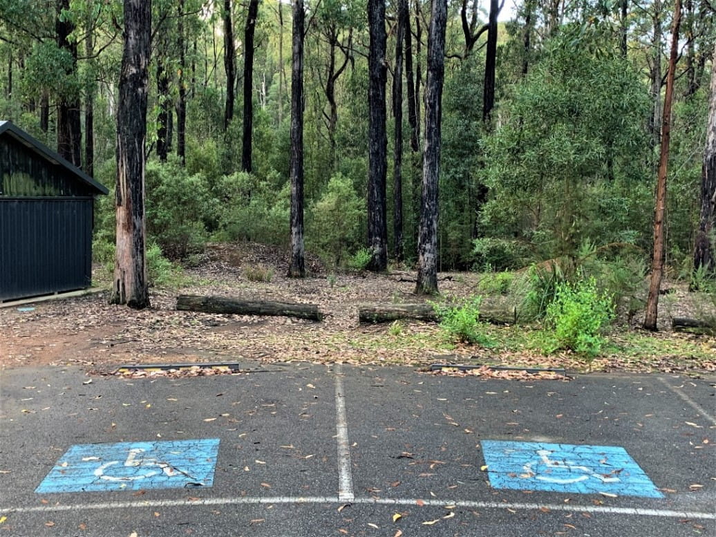
Car park entry Disabled parking bay adjacent to pedestrian path
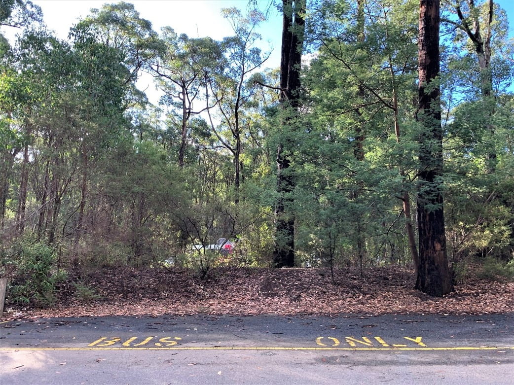
Bus parking Bus parking
Pathways
Pathways throughout the picnic area are made of well-formed crushed rock and bordered with timber edging. There is no marked pedestrian access from the car park to the picnic area, however the accessible car parks are directly adjacent to the picnic area and toilet block. There is no change in height of ground surface when moving from the bitumen car park to the entry area and paths. Paths and picnic areas are subject to fallen leaves, twigs and occasionally branches, and can become muddy after prolonged rainfall.
Picnic area entry Path to walking tracks
Information and Entry Area
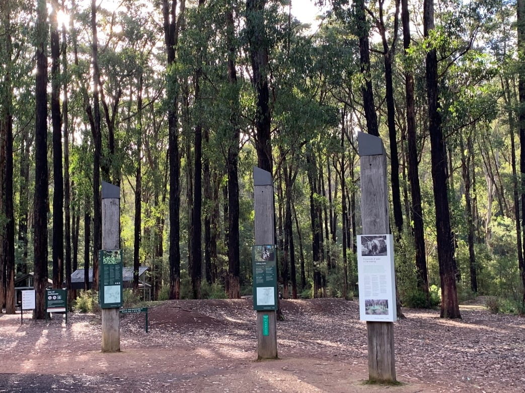
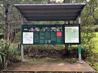
The main entry of the picnic area leads to three information poles that are three-sided. Signage provides an introduction to all sections of Kinglake National Park, describing how to use the park safely. It references the local wildlife and profiles different aspects of history from the indigenous culture and land use of the Wurundjeri and Taungurung people of the Kulin Nation, to settler history of gold mining and timber harvesting. This is followed by the impacts of the 2009 Black Saturday bushfires and the subsequent successful regeneration of the forest ecosystem.
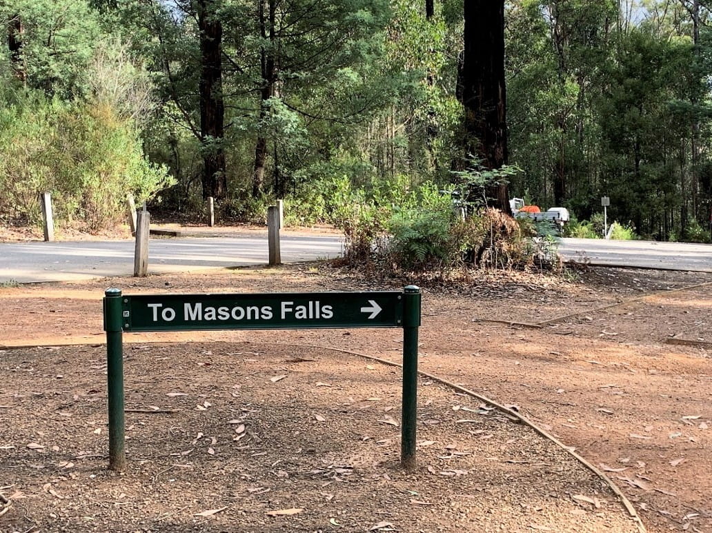
The information signs are not installed at an accessible height for a person in a wheelchair, and much of the writing font is too small to read unless standing directly in front of it. A directional sign to the Masons Falls walk is well positioned for all visitors, however it does not state the trail length or time to walk which is 700 metres one way / 20 mins.
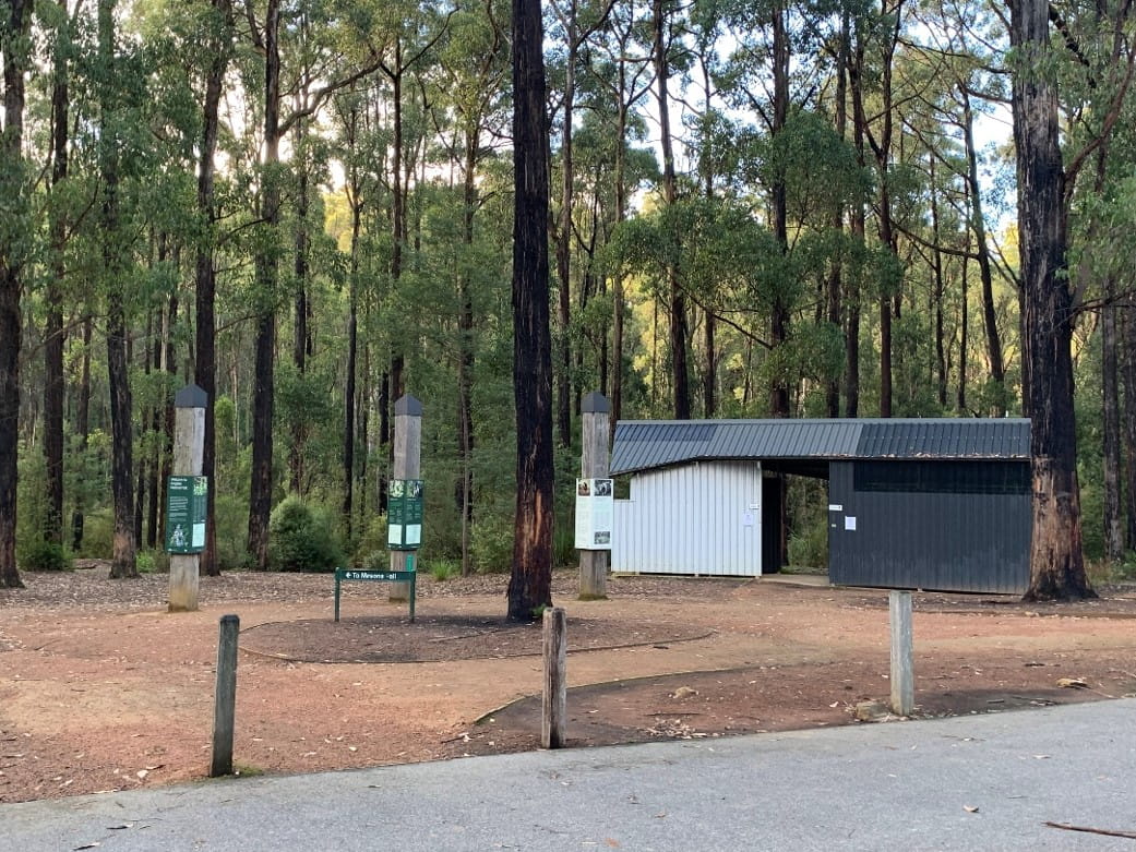
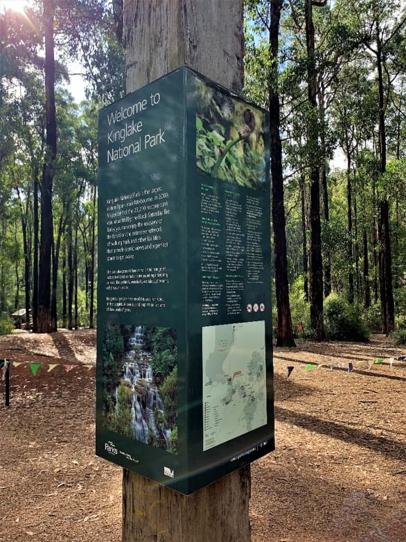
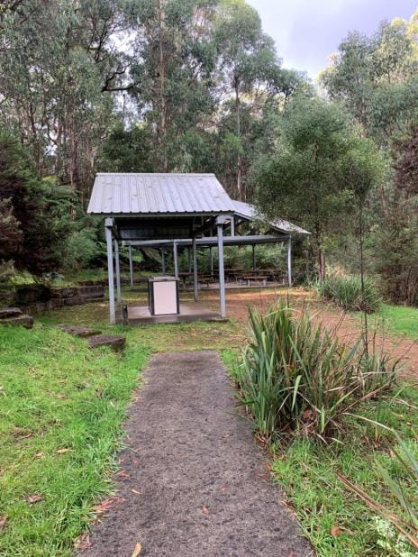
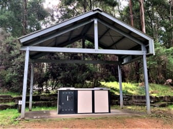
Information and toilet block Park information sign
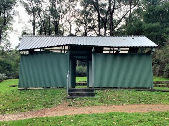
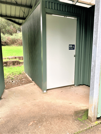
Accessible toilet in shared block
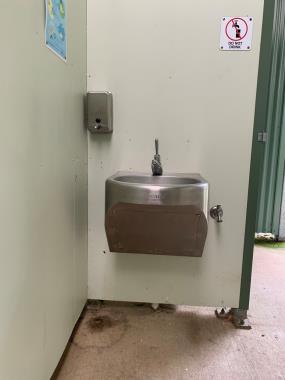
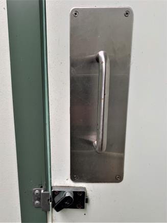
One Unisex Ambulant Toilet is located at the centre right of the block and highly visible upon entry. The door has a wheelchair symbol with Braille lettering which is not in reach range from a seated position. The medium-weight swing door opens inward and stays slightly ajar requiring minor force to close. It has a D style pull handle and an older style lock that requires some finger dexterity. The toilet is 480 mm high, is an all-in-one seat and bowl unit, and the cubicle is large with ample turning room. There is wheelchair space beside the toilet which has grab rails on the left-hand side wall and rear wall. The toilet paper holder is above the hand rail but does not obstruct use of rail. Flush buttons are located behind the seat, are raised, and require only light pressure to operate. The hand basin has clear space under it with a push style tap requiring light pressure to turn on.
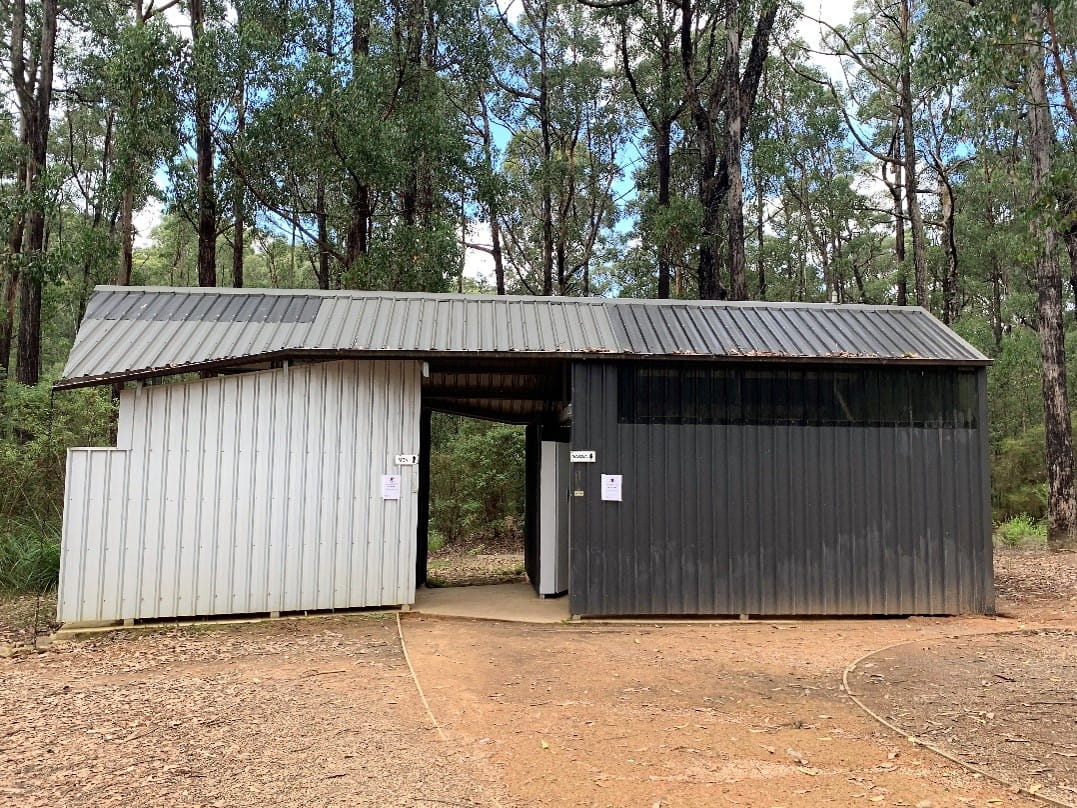
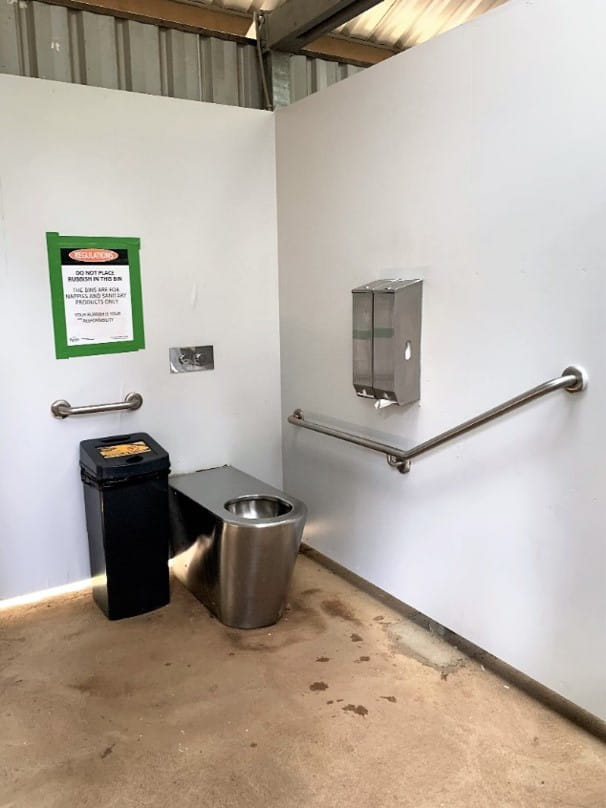
Toilet block Accessible toilet
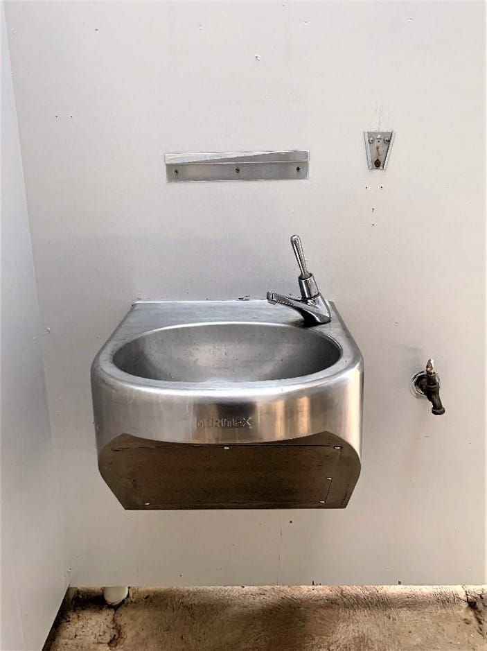
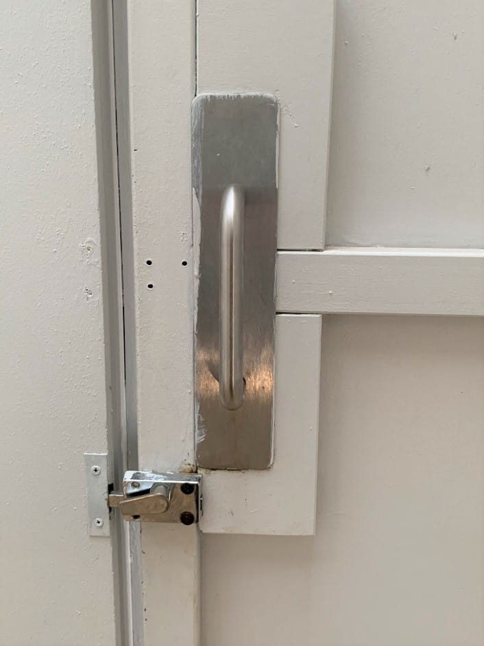
Hand basin Inside door handle
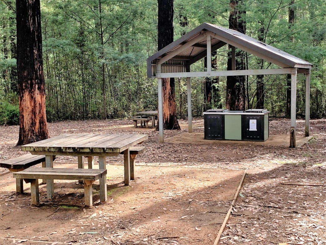
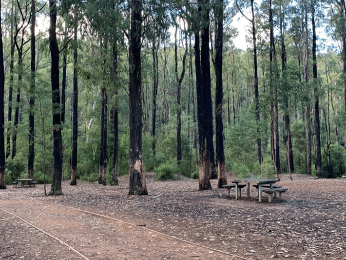
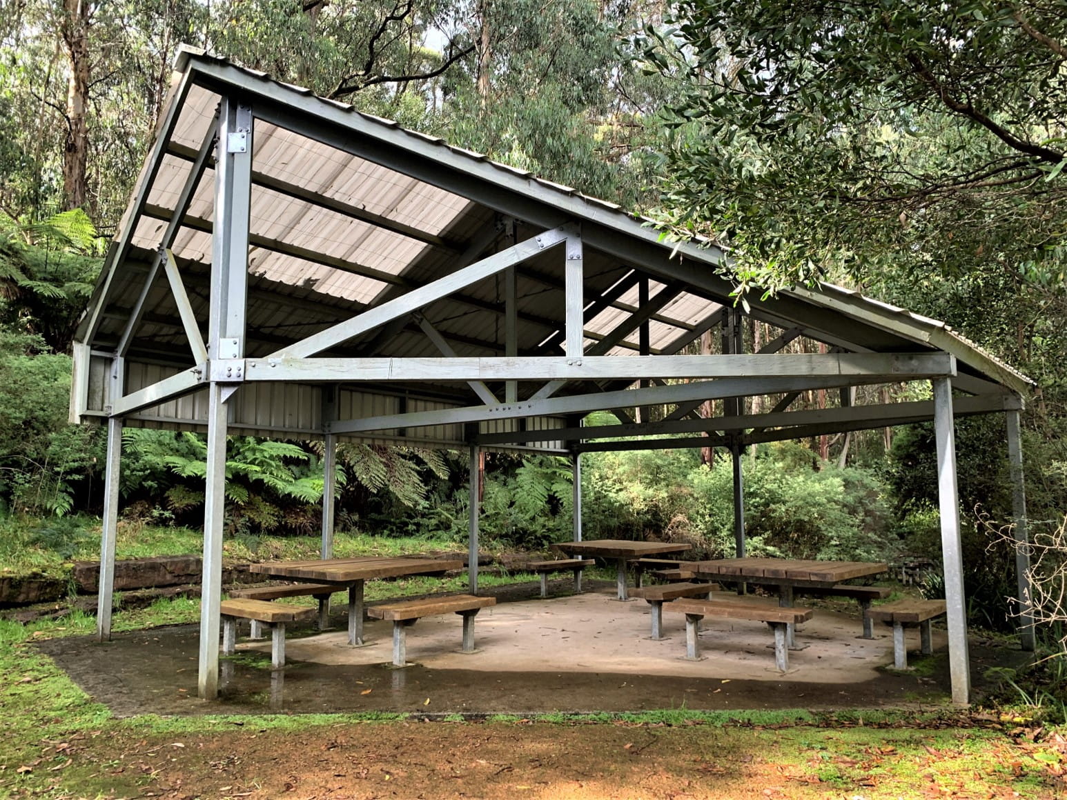
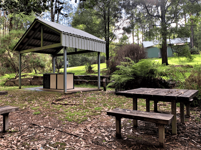
Picnic Rotunda
There are two large picnic rotundas that have tables with single and double accessible seating available. The surface height of the tables is 760 mm and the leg clearance is 620 mm.
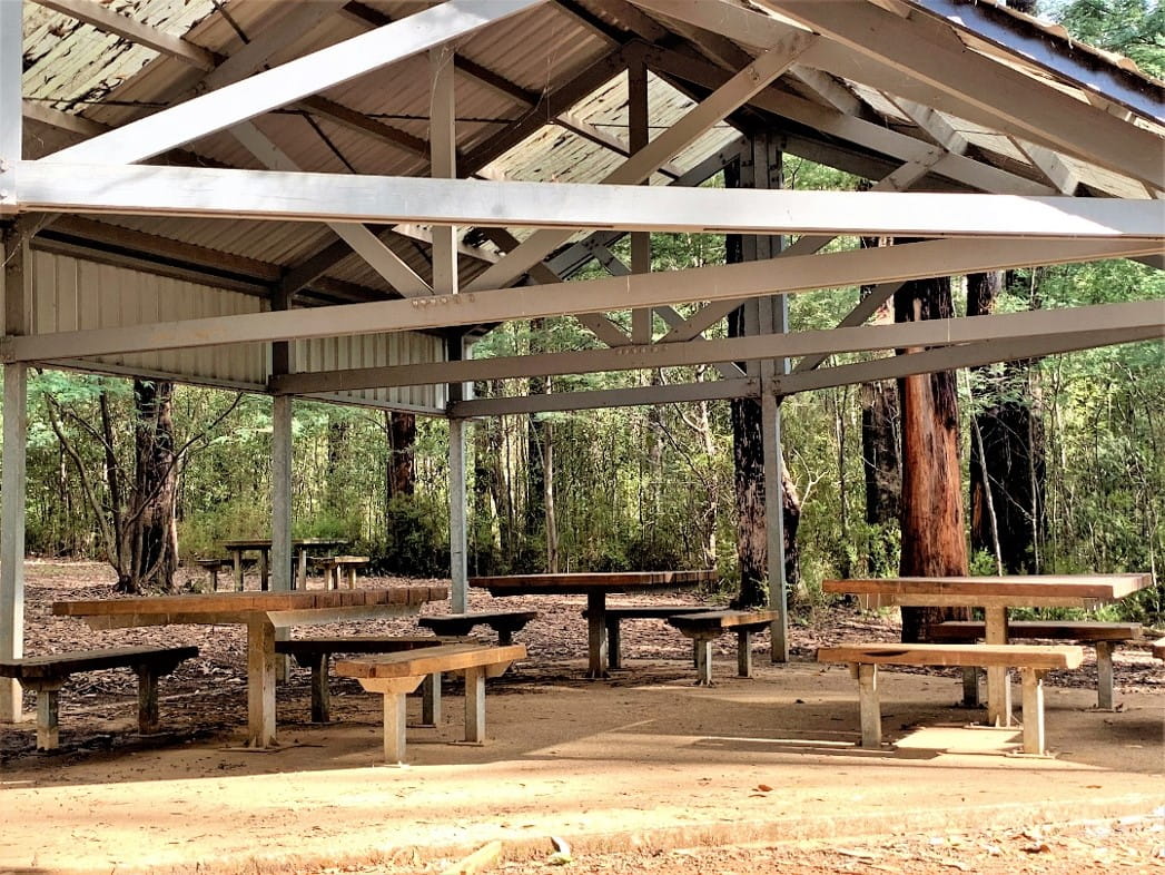
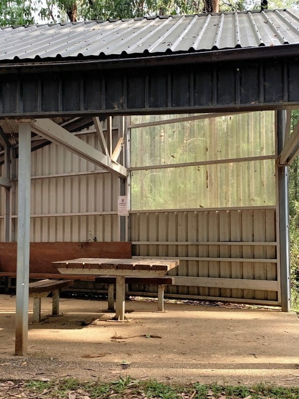
Picnic rotunda (open sides) Picnic rotunda (closed sides)
Barbecues
Multiple gas barbecues are positioned throughout the picnic area and each unit is erected on a concrete slab with a roofed shelter. The ground surface surrounding each unit may not be level with the concrete slab due to the gentle slope of the picnic area, and it being natural earth which is prone to erosion. Each unit has two standard gas barbecues 900mm high with easy push button start and standard tap fittings that require finger dexterity.
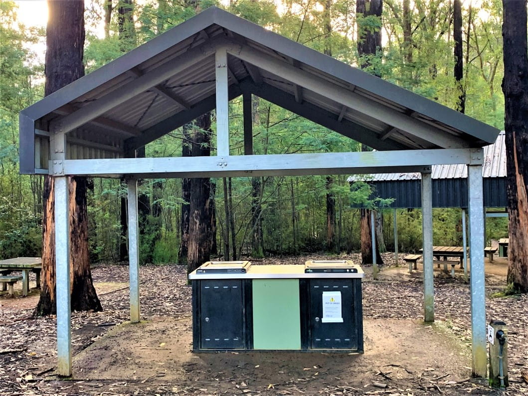
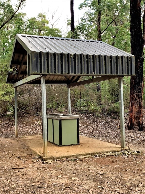
Gas barbecue Gas barbecue
Masons Falls and Lyrebird Circuit
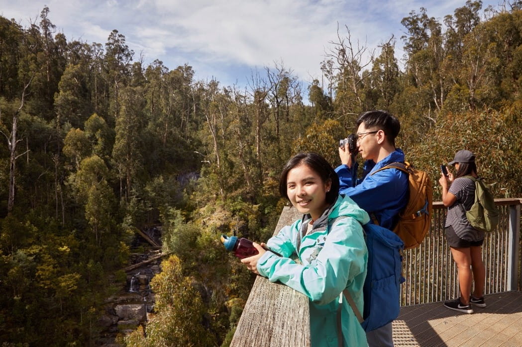
Paths in the picnic area are an unsealed surface made of small, crushed rock. The walking track to Masons Falls is 700 metre one way, taking about 20 minutes to complete. It is consistently wide and has a gradual decline in elevation. Walking through mixed Eucalypt forest you will pass the rockpools at the top of the waterfall. The track then leads to a large extended platform that provides views of the waterfall and gorge below. Lyrebird Circuit is a 500 metre loop walk through damp ferny forest that travels beside Running Creek. The circuit walk has a wide path, no incline and can be a stand-alone walk, or combined with the Masons Falls walk adding an additional 10 minutes walk time. Interpretive signs tell stories of the forest and history of the park.
Walk signage Masons Falls lookout
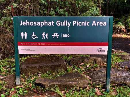
Jehosaphat Gully
Jehosaphat Gully picnic area is set in a small grassy clearing surrounded by Eucalypt forest. It has gas barbecues, tables, picnic shelters, and a wheelchair-accessible toilet. Entry is from Parkland Road which is off the Healesville-Kinglake Road.
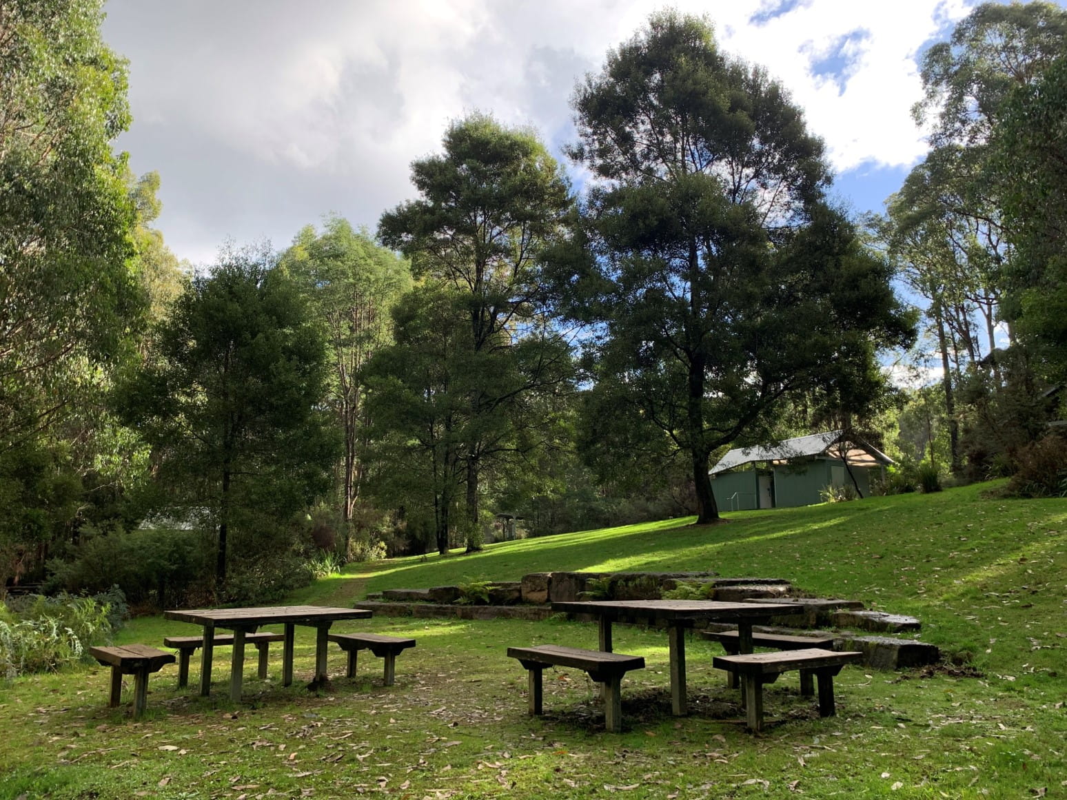

Grassed picnic area Upper section with single side accessible picnic tables
Parking
Entry to the car park is clockwise, one way direction with one designated disabled parking space at the left-hand side of the entry. The car space is very faded and lacks yellow line borders. The car park is sealed bitumen and accommodates 20 vehicles.
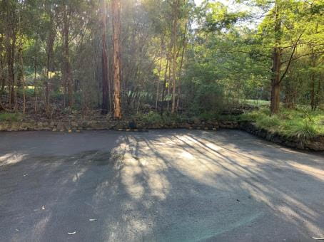
Car park entry Disabled parking bay with worn markings
Pathways
Pathways throughout the picnic area are made of well-formed crushed rock. There is no marked pedestrian access from the car park to the picnic area, however the accessible car parks are directly adjacent to the picnic area entry. There is no change in height of ground surface when moving from the bitumen car park to the entry area and paths. Paths are subject to fallen leaves and twigs.
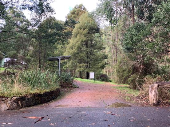
Picnic area entry Path to toilet, picnic shelter and barbecue
Information and entry area
The information shelter is clearly visible at the main entry of the picnic area. Signage provides an introduction to bushwalking, camping, and mountain bike riding in Kinglake National Park. It provides descriptions of walking tracks, and references the indigenous culture and land use of the Wurundjeri and Taungurung people of the Kulin Nation, and the regeneration of the forest after the 2009 Black Saturday bushfires. The concrete slab of the shelter sits higher than ground level requiring some manoeuvring for a person in a wheelchair to rise up to read the information board.
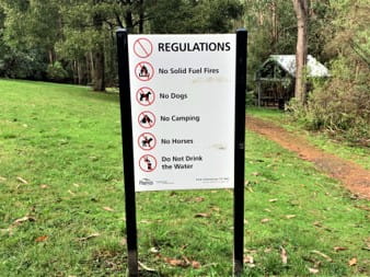
Park visitor information Park regulations
Accessible toilet in shared block
Access to the toilet block is via steps that have black tactile paving at the bottom and top step to assist vision-impaired pedestrians, or via a concrete ramp. There is an incline from the crushed rock path to the concrete ramp that must be navigated while turning a wheelchair onto the ramp. One Unisex Ambulant Toilet is located at the centre right of the block and highly visible upon entry. The door has a wheelchair symbol with Braille lettering. The medium-weight swing door opens inward and has a D style pull handle and an older style lock that requires some finger dexterity. The toilet is an all-in-one seat and bowl unit with a backrest and the cubicle is large with ample turning room. There is wheelchair space beside the toilet which has grab rails on the left-hand side wall and rear wall. The toilet paper holder is above the hand rail but does not obstruct use of rail. Flush buttons are located behind the seat, are raised, and require only light pressure to operate. The hand basin has clear space under it with a push style tap requiring light pressure to turn on.
Toilet block Tactile paving on steps of accessible toilet
Ramp to toilet block Accessible toilet

Accessible toilet Hand basin Inside door handle
Picnic rotundas
There is one large picnic rotunda in the upper level of the picnic ground that has two tables with single side accessible seating. The surface height of the tables is 760 mm and the leg clearance is 620 mm.
Picnic rotunda (upper level) Proximity of rotunda to barbecue
Barbecues
Gas barbecues are located in the upper and lower sections of the picnic area and each unit is erected on a concrete slab with a roofed shelter. The ground surface surrounding each unit may not be level with the concrete slab and is subject to erosion. Each unit has two standard gas barbecues 900mm high with easy push button start; and standard tap fittings that require finger dexterity.
Gas barbecue (upper level) Gas barbecue (lower level)
Walks
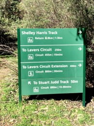
Stuart Judd Track
Walking tracks in Jehosaphat Gully were heavily impacted by the Black Saturday bushfires. The Stuart Judd Track is an 890 metre circuit track that is naturally formed and accessible for a Trailrider or some wheelchairs. The walk passes through regenerating Mountain Ash forest and gullies with large tree ferns. Contact the local workcentre prior to travel to ensure that the track is accessible. Shelley Harris track and Lavers Circuit can be added to the Stuart Judd track, however these are narrow formed tracks with short steep hills and obstacles which prevent them from being accessible to wheelchairs.
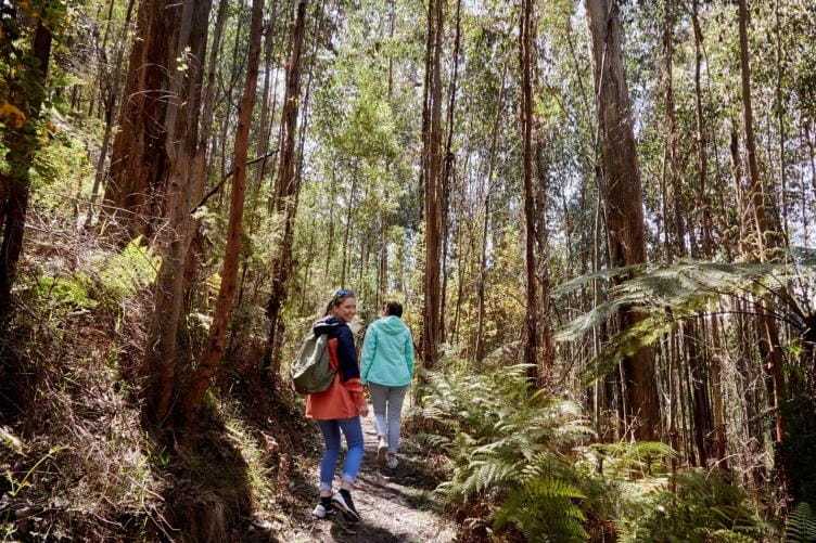
Track signage Walk in regenerating forest