Explore
2nd Camping Area down stream from Wasers Beach (Barmah National Park)
No amenities are provided so campers must be completely self-sufficient. Please practice minimal impact camping. Campsites must be at least 20m from the riverbank. Digging steps into riverbanks is illegal and can cause erosion and landslides.
Portable chemical toilets are recommended, dump sites are located at Strathmerton, Nathalia & Cobram towns.
Pit toilets must be at least 100m away from waterways. Bury toilet paper and waste at least 15cm deep.
Visitors should be aware of risks at this site including mosquito borne viruses, drowning, diving accidents, falling trees, limbs, and blue green algal blooms.
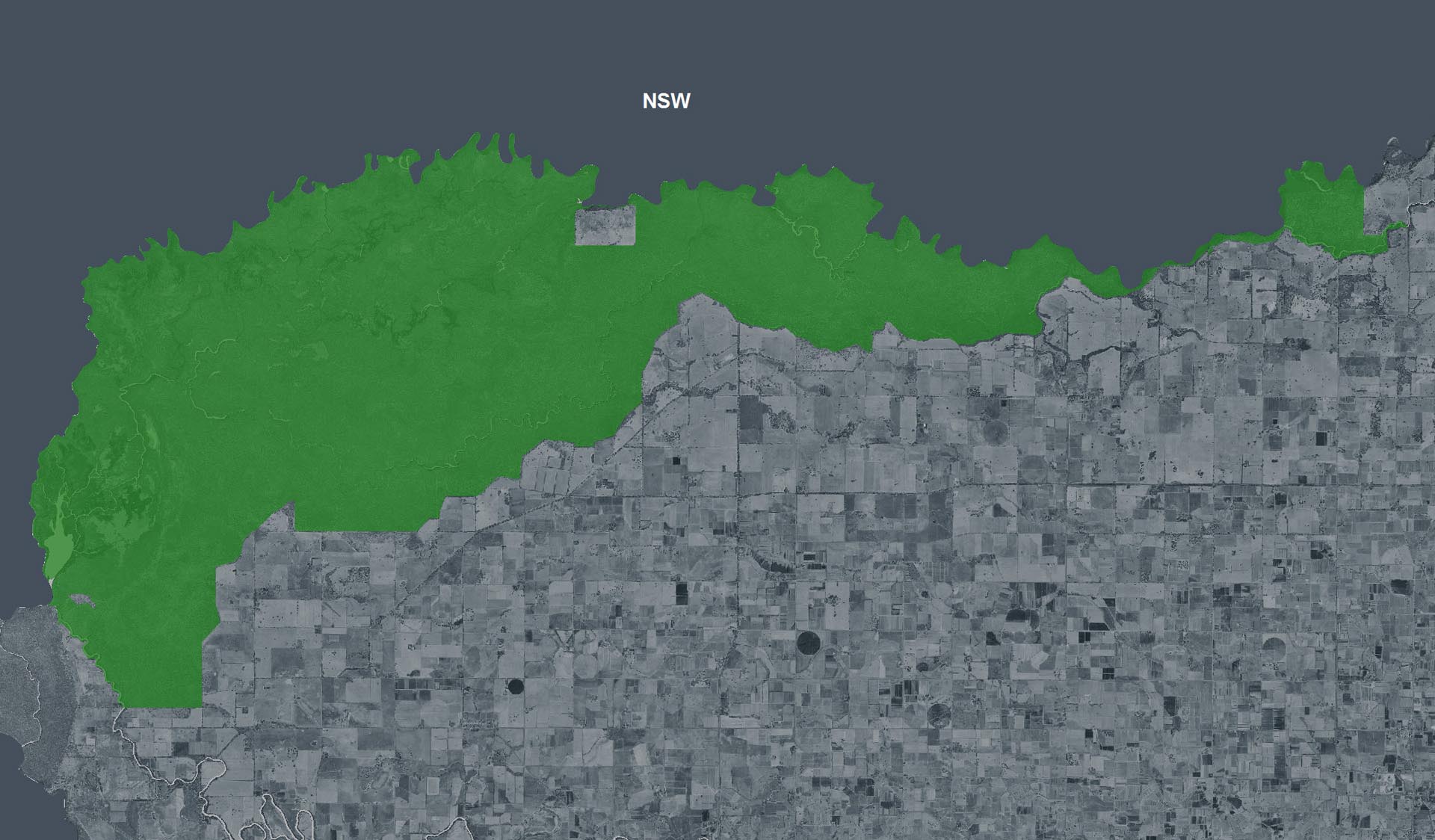
This site is in the Dhungalla (Murray River) zone.
How to get there
2nd Camping Area down stream from Wasers Beach (Barmah National Park)
Need to know
2nd Camping Area down stream from Wasers Beach (Barmah National Park)
Safety in nature
You can benefit both mind and body when you get outdoors to explore and experience Victoria's natural places. Before you go, take a look at our safety tips and check our changed conditions and closures information for a great visit.
Accessibility
Visiting a park can be more of a challenge for people with disabilities, however, in Victoria there are a wide range of facilities to help people of all abilities enjoy our wonderful parks around the state. Parks Victoria provides a range of a equipment, including all-terrain and beach wheelchairs, facilities, accommodation and accessibility information and programs to help you plan and enjoy your visit to Victoria's parks.
Assistance dogs are welcome in Parks Victoria parks and reserves. Entry requirements apply for parks and reserves that are usually dog prohibited, such as national parks.
Warnings & Restrictions
Dogs
Restrictions
- Not yet assessed
- No firearms allowed
- No dogs allowed
- No drones without a permit
- No horses
- No generators
Warnings
-
Other warnings
- Trees may fall take care
- Limbs may fall take care
-
Water hazards
- Strong currents
- Submerged obstacles
-
Terrain hazards
- Slippery road
Be Prepared
Change of Conditions
Nature being nature, sometimes conditions can change at short notice. It’s a good idea to check this page ahead of your visit for any updates.
Barmah National Park, Barmah Island and Ulupna Island, partial closures
Attachments: Barmah National Park 13 July 2026(2) (5,565KB)