7th Camping Area downstream of Wasers Beach (Barmah National Park)

Explore

7th Camping Area downstream of Wasers Beach (Barmah National Park)

How to get there

7th Camping Area downstream of Wasers Beach (Barmah National Park)

Need to know

7th Camping Area downstream of Wasers Beach (Barmah National Park)

Warnings & Restrictions

Dogs

Dogs are not allowed

Restrictions

  • No horses
  • No drones without a permit
  • No dogs, cats, pets allowed
  • No firearms allowed
  • Not yet assessed

Warnings

  • Terrain hazards
    • Slippery road
  • Other warnings
    • Trees may fall take care
    • Limbs may fall take care
  • Water hazards
    • Submerged obstacles
    • Strong currents

Be Prepared

Stay safe and get the most out of your park visit by preparing for natural hazards and other outdoor risks in Victoria’s parks. You are responsible for your own safety and the safety of those in your care. Find out more.

Change of Conditions

Nature being nature, sometimes conditions can change at short notice. It’s a good idea to check this page ahead of your visit for any updates.
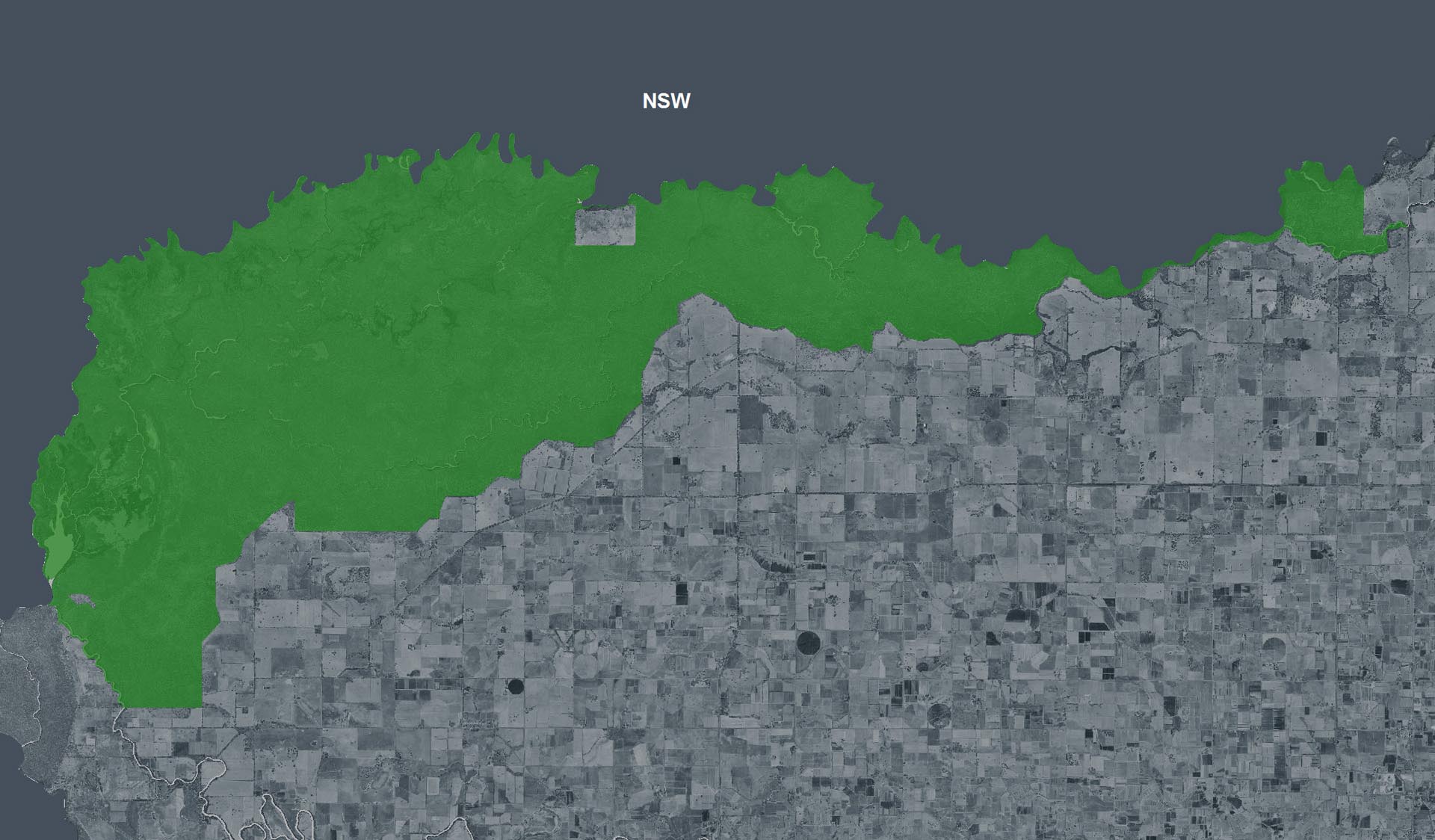
Visitor camping areas open and accessible to visitors following extensive flooding within Barmah National Park.

the following visitor camping areas have been re-opened subsequent to extensive flooding within Barmah National Park.
 
Entry via Reserve Track:
·      Ulupna Beach Camping Area (note toilets will remain closed)
·      Lagoon Beach Camping Area
·      Faraway (Peppertree) Beach Camping Area
·      Dead Dog Lagoon Camping Area 1 & 2
·      Little Beach Camping Area
·      The Junction Camping Area 2
·      Little Ulupna Creek Camping Area
Entry Via Haynes Road, Morgan Mill Rod, Wasers Road & Crawfords Road.
·      Pinnucks Camping Area 1 & 2
·      Morgan Mill Camping Area
·      Morgan Beach Camping area
·      Crawfords Boat Ramp Camping Area 1 & 2
·      No 5 Drain Camping Area 1 & 2
·      The Junction Camping area 1     
Entry via Sutton Track, Mannions Track, Tongalong Track & Newmans Track:
·      Browns Camping Area 1 & 2
·      Clarkes Camping Area
·      McLeans Camping Area 1 & 2
·      Black Engine Lagoon Camping Area 1, 2 & 3
·      Arnalds Camping Area
·      Boss Beach Camping Area
·      The Wattles Camping Area 1 & 2
·      Tongalong Camping Area
·      Tongalong Beach Camping Area
·      Tongalong Creek Camping Area
·      Bunyip Hole Camping Area 1, 2 & 3
·      Rowes Camping Area 1 & 2
·      Sandspit Creek Camping Area 1, 2, 3 & 4
·      Burnt Landing Camping Area 1, 2 & 3
 Entry via Gulf Track:
·      The Gulf Camping area
·      The Gulf Day Visitor area
Entry via Sand Ridge Track:
·      Barmah Lakes Camping area
·      Barmah Lakes Day Visitor area
·      Rices Bridge Boat Ramp Day Visitor Area
·      Lakes Loop walking trail
 
All other areas and tracks will remain closed until further notice.
The park was severely impacted by flooding and storm activity. Closures are necessary while assessments and works are undertaken to remove risks and repair damage before reopening for visitors.
For your safety, please stay out of closed areas.
The associated attachment depicts areas and tracks that are opened and closed.

Attachments: Barmah-NP-map 2 June 2023 (4,201KB)

X
By using our site you accept that we use and share cookies and similar technologies with certain approved third parties. These tools enable us to improve your website experience and to provide content and ads tailored to your interests. By continuing to use our site you consent to this. Please see our Privacy Policy for more information.
Confirm