Explore
Flagstaff Hill Lookout / Loop Walk (Greater Bendigo National Park)
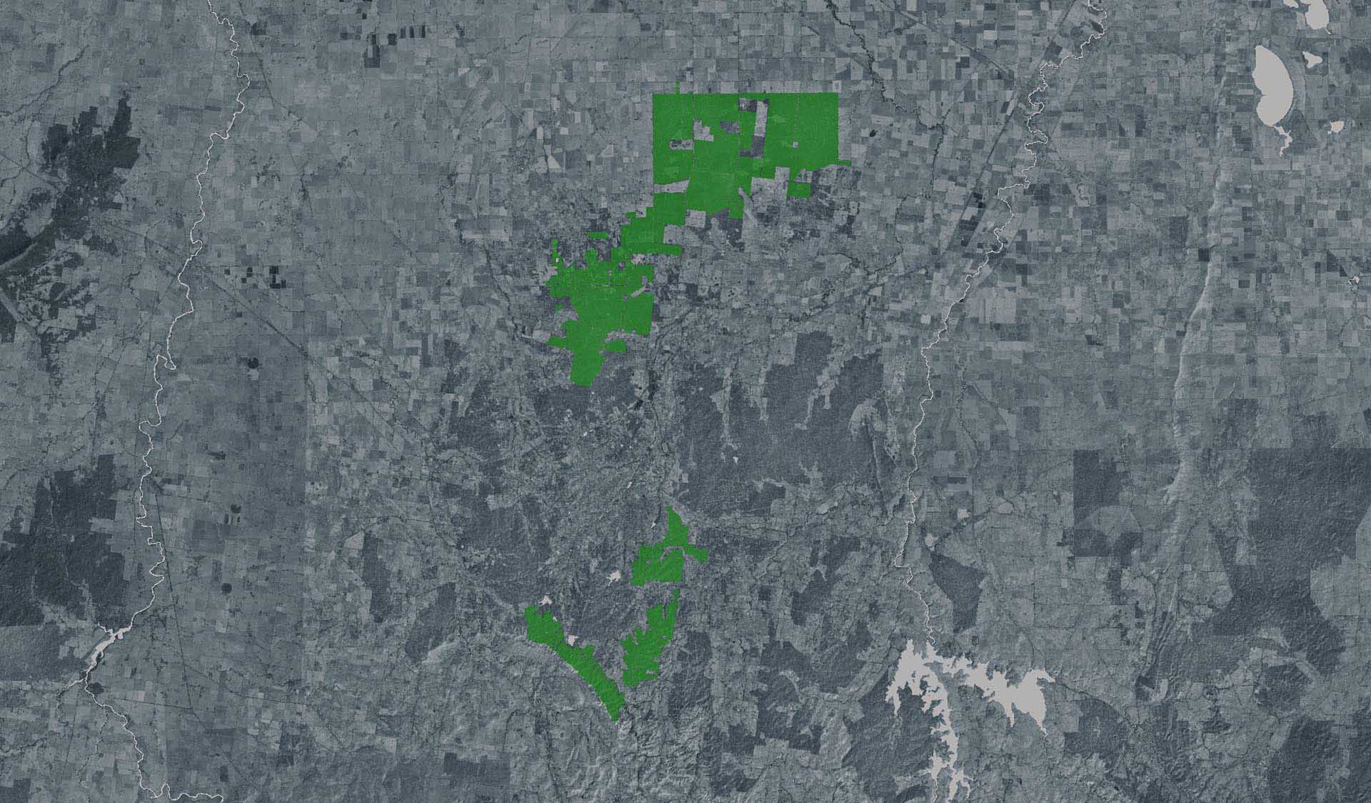
Starting from the Shadbolt Day Visitor Area, the track passes through both Mallee scrub and Box Ironbark forest where the remains of the 1850s gold rush can still be seen.
In spring, many species of wildflowers can be seen along the way.
The track is easy to follow and suitable for the whole family, however the ground is uneven and steep in places and can be slippery. Good walking shoes are recommended. There a few steps up to the viewing platform at Flagstaff Hill.
How to get there
Flagstaff Hill Lookout / Loop Walk (Greater Bendigo National Park)
Need to know
Flagstaff Hill Lookout / Loop Walk (Greater Bendigo National Park)
Safety in nature
You can benefit both mind and body when you get outdoors to explore and experience Victoria's natural places. Before you go, take a look at our safety tips and check our changed conditions and closures information for a great visit.
Accessibility
Visiting a park can be more of a challenge for people with disabilities, however, in Victoria there are a wide range of facilities to help people of all abilities enjoy our wonderful parks around the state. Parks Victoria provides a range of a equipment, including all-terrain and beach wheelchairs, facilities, accommodation and accessibility information and programs to help you plan and enjoy your visit to Victoria's parks.
Assistance dogs are welcome in Parks Victoria parks and reserves. Entry requirements apply for parks and reserves that are usually dog prohibited, such as national parks.
Warnings & Restrictions
Dogs
Restrictions
- No dogs allowed
- No drones without a permit
Warnings
-
Terrain hazards
- Uneven ground
- Mineshaft
- Slippery surface
-
Water hazards
- Dam