Explore
Garfield Water Wheel (Castlemaine Diggings National Heritage Park)
Enjoy a short family-friendly walk around the former mine and surrounding bushland on the Garfield Mine Walk (walk 1, 500m circuit, 15mins) and Garfield Bush Walk (walk 2, 400m circuit, 10mins). Both are Grade 2 and follow gravel and earth tracks with gentle hills. Look out for interpretive signs around the wheel and trailhead and download the Heritage Notes from the park webpage to dig deeper into the features you can explore. Dogs are permitted but must be kept on a lead at all times. There are no bins at the picnic area, so please take your rubbish home for recycling or disposal.
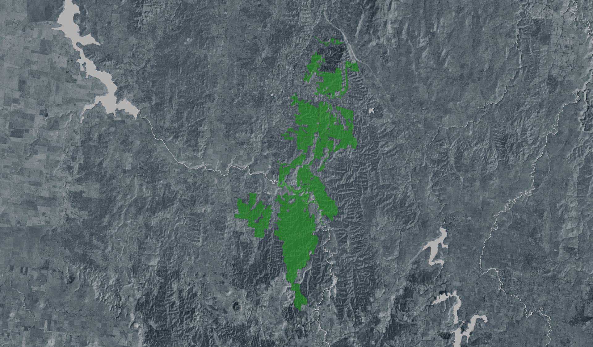
Visitor Tips: the access road is unsealed but suitable for 2WD vehicles including coaches. Garfield can also be accessed by foot or bike via the Leanganook section of the Goldfields Track (stop LT04). Discover even more of the area's mining history on one of the longer self-guided loop walks that lead to the Monster Meeting Site (walk 3), Pennyweight Flat Cemetery (walk 4), Quartz Hill (walk 5) and the Welsh Village and Nimrod Reef Mine (walk 6). All start from the Garfield trailhead and are Grade 3 walks ranging between 3-6.5km on gravel and earth tracks with gentle to moderate hills.
The Castlemaine Diggings is a heavily mined landscape which contains a variety of ongoing hazards, including uneven and unstable ground, mineshafts, open cuts, quarries, and mine tailings. For your own safety, please stay on mapped tracks, supervise children, comply with local signs and do not climb over or around barriers, fences or on the ruins.
Trees and branches may fall at any time and swing away from the tree. Please do not touch the ruins, climb on the foundations of the water wheel or disturb the ground. All plants, animals, historical and archaeological sites and geographic features are protected by law.
The Garfield Water Wheel is in the North Central fire district. On Catastrophic Fire Danger Rating days the Park will be closed for public safety. Do not enter the Park. If you are already in the Park, leave the night before or as early as possible in the morning. Bushfire safety is a personal responsibility. Check the Fire Danger Rating and for days of Total Fire Ban at www.emergency.vic.gov.au, on the VicEmergency smartphone app or call the VicEmergency Hotline on 1800 226 226.
How to get there
Garfield Water Wheel (Castlemaine Diggings National Heritage Park)
Need to know
Garfield Water Wheel (Castlemaine Diggings National Heritage Park)
Safety in nature
You can benefit both mind and body when you get outdoors to explore and experience Victoria's natural places. Before you go, take a look at our safety tips and check our changed conditions and closures information for a great visit.
Accessibility
Visiting a park can be more of a challenge for people with disabilities, however, in Victoria there are a wide range of facilities to help people of all abilities enjoy our wonderful parks around the state. Parks Victoria provides a range of a equipment, including all-terrain and beach wheelchairs, facilities, accommodation and accessibility information and programs to help you plan and enjoy your visit to Victoria's parks.
Assistance dogs are welcome in Parks Victoria parks and reserves. Entry requirements apply for parks and reserves that are usually dog prohibited, such as national parks.
Warnings & Restrictions
Dogs
Restrictions
- None applicable
Warnings
-
Terrain hazards
- Mineshaft
-
Other warnings
- Limbs may fall take care
- Trees may fall take care
Be Prepared
Change of Conditions
Nature being nature, sometimes conditions can change at short notice. It’s a good idea to check this page ahead of your visit for any updates.