Genoa River Firetrail Jetty (Croajingolong National Park)

Explore

Genoa River Firetrail Jetty (Croajingolong National Park)

Set among tall Red Ironbark trees, Genoa River Firetrail Picnic Area lies in the upper reaches of Mallacoota Inlet. Enjoy a pleasant picnic or barbecue before exploring more of Croajingolong National Park.

How to get there

Genoa River Firetrail Jetty (Croajingolong National Park)

Need to know

Genoa River Firetrail Jetty (Croajingolong National Park)

Warnings & Restrictions

Dogs

Dogs are not allowed

Restrictions

  • No dogs allowed
  • No camping
  • No bicycles
  • No horses
  • No generators
  • No firearms allowed

Warnings

  • Animals and pests
    • Ticks
  • Other warnings
    • Trees may fall take care
    • Limbs may fall take care
  • Water hazards
    • Submerged obstacles

Be Prepared

Stay safe and get the most out of your park visit by preparing for natural hazards and other outdoor risks in Victoria’s parks. You are responsible for your own safety and the safety of those in your care. Find out more.

Change of Conditions

Nature being nature, sometimes conditions can change at short notice. It’s a good idea to check this page ahead of your visit for any updates.

Clinton Rocks Track repairs

Road closure for repair works.

Road repairs and vegetation management are currently being undertaken to Clinton Rocks Track. There will be increased vehicle traffic for the duration of the works.   
 
Throughout the project there will be gravel stockpiled at the intersection of Point Hicks Road and Fishermans Track. This will involve loading machinery and trucks operating in the vicinity of the intersection and carting material to Clinton Rocks Track.

Point Hicks Road closed from Fishermans Track 19/08/24 to 20/09/24

Point Hicks Rd will be closed for all traffic at Fishermans Track from 19/08/24 to 20/09/24

The closure is being put in place to facilitate road works needed for the rebuild of the Thurra Bridge.

No access will be possible to Mueller Inlet Campground, Mt Everard walking Track and Cicada 4WD Track.

Fishermans Track and Peachtree Campground will remain open.

Croajingolong National Park information update 12 February 2024

Point Hicks Road is closed south of Bald Hills.
The following six areas are closed because of the 2019/2020 bushfires and coastal erosion caused by ongoing heavy rainfall.  Visitors are unable to access the Point Hicks Lighthouse, Thurra River Campground, and nearby walking tracks. Parks Victoria continue to maintain surveillance and security of these areas. Please continue to monitor this site for updates and change of conditions.  
·      Point Hicks Lightstation
·      Thurra River Bridge
·      Thurra River Campground
·      Dunes Track
·      Saros Track
·      Sledge Track
 
The Wilderness Coast Walk is open all the way from Bemm River to Mallacoota. Staff have recently marked sections of the track however, combined flood and fire damage have made some areas more difficult to negotiate. Hikers must be able to self-navigate with a map and compass.
 
 
The following walking track is closed:
·      Wingan Inlet Rapids Walk
 
The following jetty around Mallacoota is closed:
·      Kingfish Point
 
Seasonal road closures generally operate from after the long weekend in June through to the end of October, but many remain closed in areas affected by significant rainfall and flooding across Victoria in late 2022. The following tracks remain closed:
·      Betka Track
·      Miners Track
·      Lakeview Track
·      Howe Flat Track
·      Howe Hill Track
·      Barracoota Track
The water trough at Wingan Inlet Campground is now reconnected to the creek. Visitors are reminded that this is not a potable source and must be treated before drinking.
 
Ongoing heavy rainfall has impacted areas of Croajingolong National Park and other areas of the state. Monitor this page for updated information and site closures


Planned aerial shooting operations targeting deer - Cape Conran Coastal Park & Croajingolong National Park

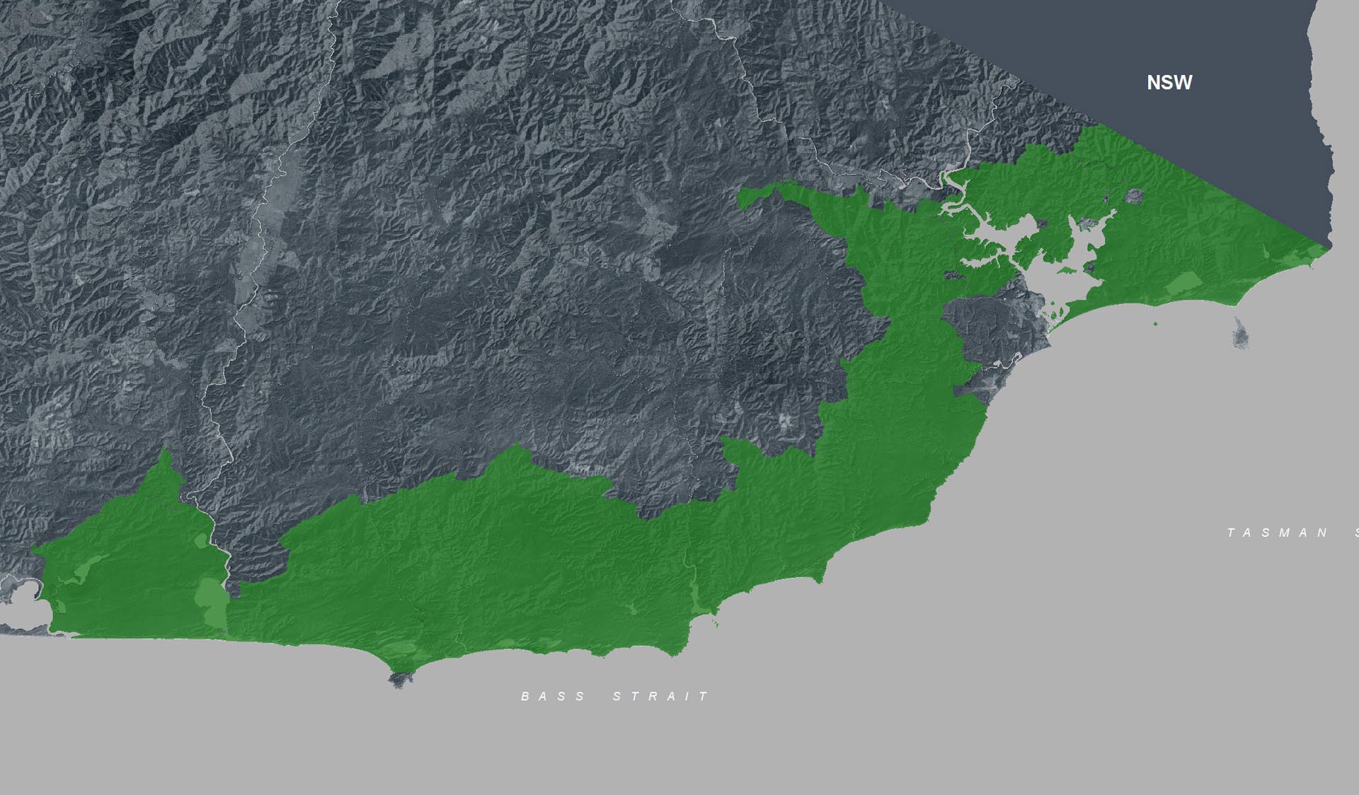
Parts of Cape Conran Coastal Park and Croajingolong National Park will be closed while aerial shooting operations targeting deer are undertaken.
 
Closures will apply during the following dates:
 
16-20 September 2024
9-13 December 2024
2-6 June 2025
 
Visitors are advised to check the Change of conditions listing prior to arrival for up to date information and maps or call 13 19 63.
 
For more information about the program please visit this link.

Attachments: Croajingolong NP and Cape Conran CP aerial operations informations map (2,519KB)

Ground shooting operations targeting deer

Control operations (ground shooting) targeting deer are undertaken in this area.  The Park will remain open to visitors during operations.
 
For more information about deer control to protect biodiversity, please visit this link.

X
By using our site you accept that we use and share cookies and similar technologies with certain approved third parties. These tools enable us to improve your website experience and to provide content and ads tailored to your interests. By continuing to use our site you consent to this. Please see our Privacy Policy for more information.
Confirm