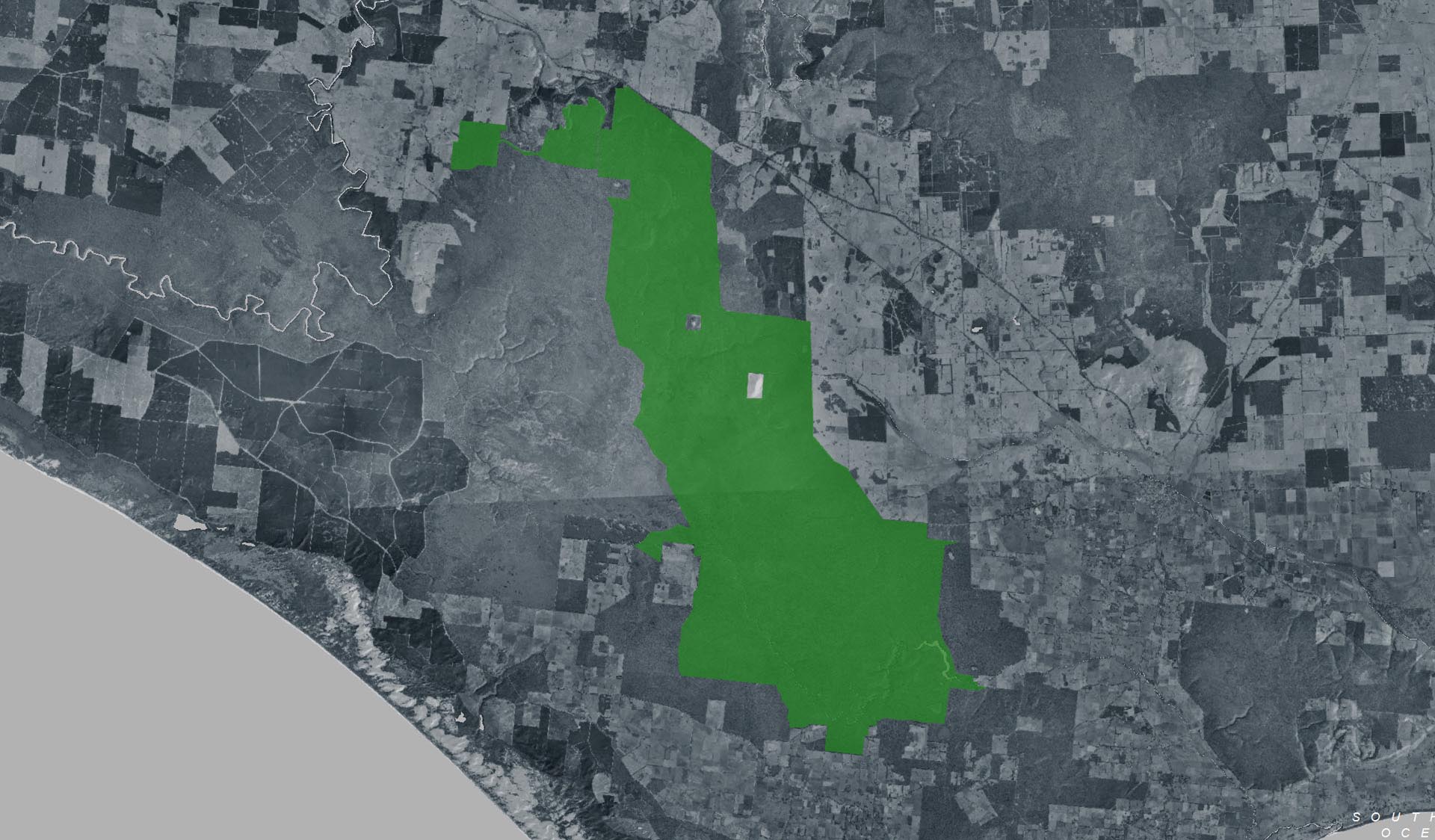
Great South West Walk - Cut Out Camping Area to Cobboboonee Camping Area (Cobboboonee National Park)

Explore

Great South West Walk - Cut Out Camping Area to Cobboboonee Camping Area (Cobboboonee National Park)

The Cut Out Camping Area to Cobboboonee Camping Area section of the Great South West Walk traverses through the wild interior of Cobboboonee National Park. Rise through a patch of heath that provides a unique contrast to the tall eucalypt trees, especially when the heath flowers through winter and spring. 

How to get there

Great South West Walk - Cut Out Camping Area to Cobboboonee Camping Area (Cobboboonee National Park)

Need to know

Great South West Walk - Cut Out Camping Area to Cobboboonee Camping Area (Cobboboonee National Park)

Warnings & Restrictions

Dogs

Dogs are not allowed

Restrictions

  • No vehicles
  • No generators
  • No dogs allowed
  • Management vehicle only
  • No fires permitted
  • No camping
  • No firearms allowed
  • No horses
  • No bicycles

Warnings

  • Terrain hazards
    • Slippery surface
  • Other warnings
    • Limbs may fall take care

Be Prepared

Stay safe and get the most out of your park visit by preparing for natural hazards and other outdoor risks in Victoria’s parks. You are responsible for your own safety and the safety of those in your care. Find out more.

Change of Conditions

Nature being nature, sometimes conditions can change at short notice. It’s a good idea to check this page ahead of your visit for any updates.

Closed - Surry Ridge Campground

Surry Ridge Campground in Cobboboonee National Park is closed due to lack of toilet facilities.  Camping overnight is not permitted at Surry Ridge campground. The Surry Ridge picnic ground is available for day visitor use. The nearest available campgrounds in Cobboboonee National Park are Wrights Campground located on Wrights Swamp Road and Jackass Fern Gully Campground located on T & W Road. Both campgrounds are free to use and do not require booking.

Bushfire in Lower Glenelg National Park

Lightening caused ignition of a bushfire on Thursday 16th October 2025 in the Kentbruck Heath area of Lower Glenelg National Park.
Forest Fire Management Victoria, supported by Parks Victoria, are responding to and monitoring the bushfire.
For the latest information on the bushfire, visit www.emergency.vic.gov.au
 
Road and Track Closures:
·         Heath Road (between Inkpot Rd and Blacks Rd)
·         Inkpot Road (between Heath Rd and Kentbruck Rd)
·         Kentbruck Road (between Inkpot Rd and Normanby Track))
·         Skyline Road
·         Telegraph Track
·         Kentbruck Track
·         Kentbruck Track North
·         Bark Cutters Track
·         Normanby Track

Advisory: Severe Weather Warning for West Region National Parks – Wednesday 22 October

Severe weather is forecast for Wednesday 22 October 2025, with significant risks for visitors in national parks across Victoria’s west. Those planning to visit or currently camping, walking, or hiking in these areas should exercise extreme caution, before, during and after a cyclogenesis event.

Key Warnings
Damaging Winds: Widespread wind gusts up to 90–100 km/h are expected in elevated terrain, increasing to 110 km/h across the southwest coast, with possible gusts up to 125 km/h in exposed locations. These winds pose a significant danger from falling branches and trees, particularly in forested areas and campgrounds.​
Severe Thunderstorms: Localised severe thunderstorms are possible, bringing additional risks of strong gusts and sudden weather changes.​
Significant Wave Heights: Beaches and coastal tracks may experience waves of 6–7 metres, creating hazardous conditions and increasing the risk of being swept off rocks or beaches.​

Safety Advice for National Park Visitors
  • Camping: Avoid camping under or near large trees or branches, which may fall in high winds.
  • Hiking & Walking: Reconsider plans to walk on remote tracks or exposed beaches where wind or waves may create unsafe conditions.
  • Be Prepared: Have a plan for early exit and know multiple routes out of the area. Stay informed via official channels. 
  • Call 000 in an emergency
  • Reporting Issues: Report fallen trees, damage, or emergencies to Parks Victoria on 13 1963, but only when safe to do so.
  • Stay up to date with weather warnings, and reconsider travel and outdoor activities in high-risk areas during this period.
  • BoM Warnings
  • Vic Emergency


X
By using our site you accept that we use and share cookies and similar technologies with certain approved third parties. These tools enable us to improve your website experience and to provide content and ads tailored to your interests. By continuing to use our site you consent to this. Please see our Privacy Policy for more information.
Confirm