Kline Loop Nature Walk (Murray - Sunset National Park)

Explore

Kline Loop Nature Walk (Murray - Sunset National Park)

Take in the vast beauty of the Pink Lakes along the Kline Loop Nature Walk. Learn about the long-standing salt mining industry in the area, the harsh conditions workers had to endure and life in a remote corner of the state. Look out for the many types of birds that live here, and for the footprints of kangaroos and emus as you pass through several different habitats along the walk.

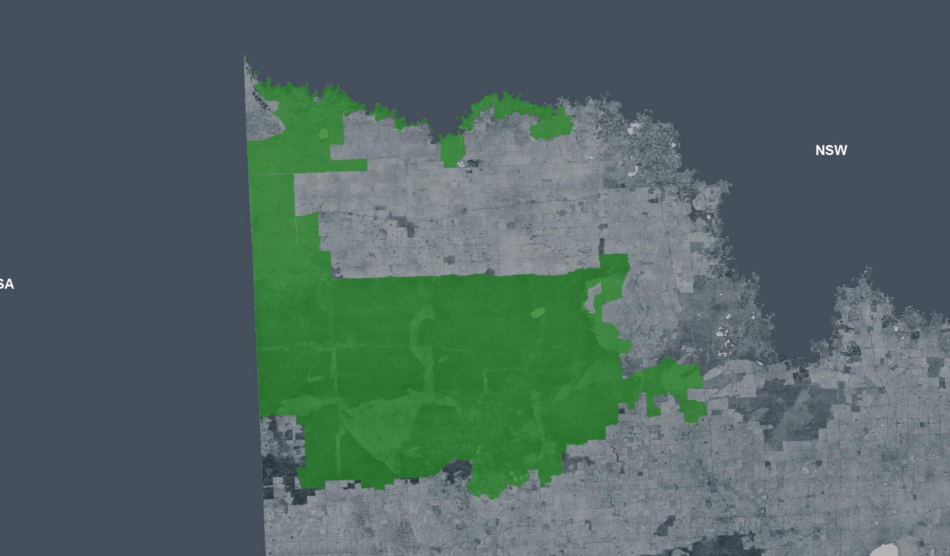
Visiting the shores of Lake Crosbie and Lake Kenyon, the trail starts at the northern end of the Main Campground at Lake Crosbie. Follow the orange arrows on posts. Allow about 2 hours to complete the 4.8km Grade 3 loop, or allow longer and stop for a picnic at the tables near the shore of Lake Kenyon.

Visitor Tips: Carry adequate water to stay hydrated and avoid walking in the heat of midday. Temperatures can be extreme in summer. The only toilets are located at the Main Campground. There is no mobile reception in the park. The lakes are usually more pink in winter and spring. For more information, download the Murray-Sunset National Park Visitor Guide before leaving home.

How to get there

Kline Loop Nature Walk (Murray - Sunset National Park)

Need to know

Kline Loop Nature Walk (Murray - Sunset National Park)

Warnings & Restrictions

Dogs

Dogs are not allowed

Restrictions

  • No dogs allowed
  • No firearms allowed
  • No generators
  • No horses
  • No fires permitted

Warnings

  • Animals and pests
    • Snakes
    • Beware feral bees
  • Other warnings
    • Limbs may fall take care

Be Prepared

Stay safe and get the most out of your park visit by preparing for natural hazards and other outdoor risks in Victoria’s parks. You are responsible for your own safety and the safety of those in your care. Find out more.

Change of Conditions

Nature being nature, sometimes conditions can change at short notice. It’s a good idea to check this page ahead of your visit for any updates.

Lindsay Island (MSNP) - Access

Lindsay Island open, although has access limitations within due to residual flood water and road damage.
 
The Broken Back bridge on the Little Mullaroo Creek is now Open, The Little Mullaroo Creek crossing on the Sandford Track has water across it, and should be approached and considered with caution, depths will change.  This may limit access to Webster's Lagoon or Kulkurna Cliffs. You should never drive through flood water.
 
The Lindsay River crossing on the eastern entry point to Lindsay Island has extensive flood damage and residual flood water and will remain closed until further notice. Entry gates remain closed, signage in place.
 
Access remains along the Mullaroo Creek between the Caravan through to the Mullaroo Mouth / Boat ramp. 
 
Access now open to Lock 7 Camping Area, Lock 7 Sandbar Camping Area and Lock 7 Boat Ramp Camping Area.

Wallpolla Island Closed

Wallpolla Island is closed due to riverine flood damage affecting both access and visitor safety.

Mulcra Island is now partially open giving campers access to the Murray River

Mulcra Island is now partially open giving campers access to the Murray River from River access 1 through to Lock 8. 
Snake Lagoon track to the east is closed until further notice due to riverine flood damage affecting both access and visitor safety, so there is no access beyond Lock 8. Access through the Snake Lagoon track via the Old Mail Road is also affected by this closure. 


Visitors are advised that some areas continue to be affected by residual flood water and high river levels. Caution is advised when camping in these areas. 

X
By using our site you accept that we use and share cookies and similar technologies with certain approved third parties. These tools enable us to improve your website experience and to provide content and ads tailored to your interests. By continuing to use our site you consent to this. Please see our Privacy Policy for more information.
Confirm