Explore
Langford West Camping Area (Alpine National Park)
How to get there
Langford West Camping Area (Alpine National Park)
Need to know
Langford West Camping Area (Alpine National Park)
Safety in nature
You can benefit both mind and body when you get outdoors to explore and experience Victoria's natural places. Before you go, take a look at our safety tips and check our changed conditions and closures information for a great visit.
Accessibility
Visiting a park can be more of a challenge for people with disabilities, however, in Victoria there are a wide range of facilities to help people of all abilities enjoy our wonderful parks around the state. Parks Victoria provides a range of a equipment, including all-terrain and beach wheelchairs, facilities, accommodation and accessibility information and programs to help you plan and enjoy your visit to Victoria's parks.
Assistance dogs are welcome in Parks Victoria parks and reserves. Entry requirements apply for parks and reserves that are usually dog prohibited, such as national parks.
Warnings & Restrictions
Dogs
Restrictions
- No generators
- No dogs allowed
- No drones without a permit
- No firearms allowed
Warnings
-
Water hazards
- Shallow water
-
Animals and pests
- Snakes
-
Terrain hazards
- Uneven ground
-
Other warnings
- Limbs may fall take care
Be Prepared
Change of Conditions
Nature being nature, sometimes conditions can change at short notice. It’s a good idea to check this page ahead of your visit for any updates.
TRACK CLOSURE: Little Cobbler Track, Alpine National Park
- via Cobbler Lake Track. Turn off Lake Cobbler Rd onto Cobbler Lake Track thru to Speculation Road.
- via Wild Horse Gap Track. Turn off Lake Cobbler Rd onto Wild Horse Gap Track, turn onto Burnt Top Track and follow thru to Pineapple Flat. From Pineapple Flat take King Basin Road thru to Speculation Road.
- via Basin Track. Turn off Upper Rose River Rd onto Basin Track, turn onto Burnt Top Track and follow thru to Pineapple Flat. From Pineapple Flat take King Basin Road thru to Speculation Road.
Cobberas, Ingeegoodbee and Macfarlane Flat Track closures.
- Cobberas Track
- Macfarlane Flat Track
- Ingeegoodbee Track
Before visiting, visitors should check the Parks Victoria website for the latest information about their destination.
Attachments: FAQs for Cobberas ingeegoodbee and mcfarlane tks (128KB)
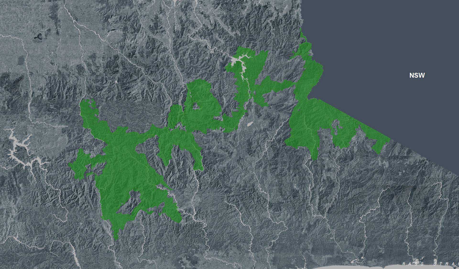
The Alpine National Park is CLOSED east of Mt Speculation, South and West of Mt Selwyn – due to the Dargo Wonnangatta complex fires in the area.
- East Buffalo Road and West Buffalo Track
- Australian Alps Walking Track east of Mt Speculation and west of Mt Selwyn including the Razor Viking and Barry Mountains sections
- Mount Selwyn Road and Selwyn Creek Road south of its intersection with Twins Jeep Track
- Rileys Track, Humffray River Track, Whites Track & Water Spur Track
- Walking tracks between Falls Creek and Mt Hotham
- Mt Buffalo
- Howqua Hills
- Australian Alps Walking Track north to Camp Creek including the Crosscut Saw and Mt Speculation
- King Hut
- King Billy Track through to Howitt Road
- Lake Cobbler
- For updated information, visit the VicEmergency website, or call the hotline on 1800 226 226.
- Download the VicEmergency app and know how to use it – create a watch zone for your home, work and loved ones to receive alerts within that watch zone.
- Know your local emergency broadcaster and never rely on one source of emergency information.
- Visit the CFA website for the latest information on Fire Danger Ratings.
- Visit the BOM website to stay updated on weather forecasts and warnings.
The Alpine National Park is CLOSED north of Briagolong, east of Arbuckle Junction including Mount Howitt to Wabonga and south of Abbeyard, west of the Great Alpine Road and to the west of Dargo – due to the Dargo Wonnangatta complex fires in the area
Open areas include:
- For
updated information, visit the VicEmergency
website, or call the hotline on 1800 226 226.
- Download
the VicEmergency app and know how to use it – create a watch zone for
your home, work and loved ones to receive alerts within that watch zone.
- Know
your local emergency broadcaster and never rely on one source of emergency
information.
- Visit
the CFA website for the latest information on Fire
Danger Ratings.
- Visit
the BOM website to stay updated on weather forecasts
and warnings.
Attachments: 20260129_1600_Forest_Park_Closures_A0P (12,358KB)


