Explore
Scout Loop Track Campground (Kurth Kiln Regional Park)
How to get there
Scout Loop Track Campground (Kurth Kiln Regional Park)
Need to know
Scout Loop Track Campground (Kurth Kiln Regional Park)
Safety in nature
You can benefit both mind and body when you get outdoors to explore and experience Victoria's natural places. Before you go, take a look at our safety tips and check our changed conditions and closures information for a great visit.
Accessibility
Visiting a park can be more of a challenge for people with disabilities, however, in Victoria there are a wide range of facilities to help people of all abilities enjoy our wonderful parks around the state. Parks Victoria provides a range of a equipment, including all-terrain and beach wheelchairs, facilities, accommodation and accessibility information and programs to help you plan and enjoy your visit to Victoria's parks.
Assistance dogs are welcome in Parks Victoria parks and reserves. Entry requirements apply for parks and reserves that are usually dog prohibited, such as national parks.
Warnings & Restrictions
Dogs
Restrictions
- No firearms allowed
Warnings
-
Terrain hazards
- Uneven ground
-
Animals and pests
- Beware European wasps
- Snakes
- Horses
-
Other warnings
- Limbs may fall take care
- Trees may fall take care
- No mobile phone reception
-
Water hazards
- Dam
Be Prepared
Change of Conditions
Nature being nature, sometimes conditions can change at short notice. It’s a good idea to check this page ahead of your visit for any updates.
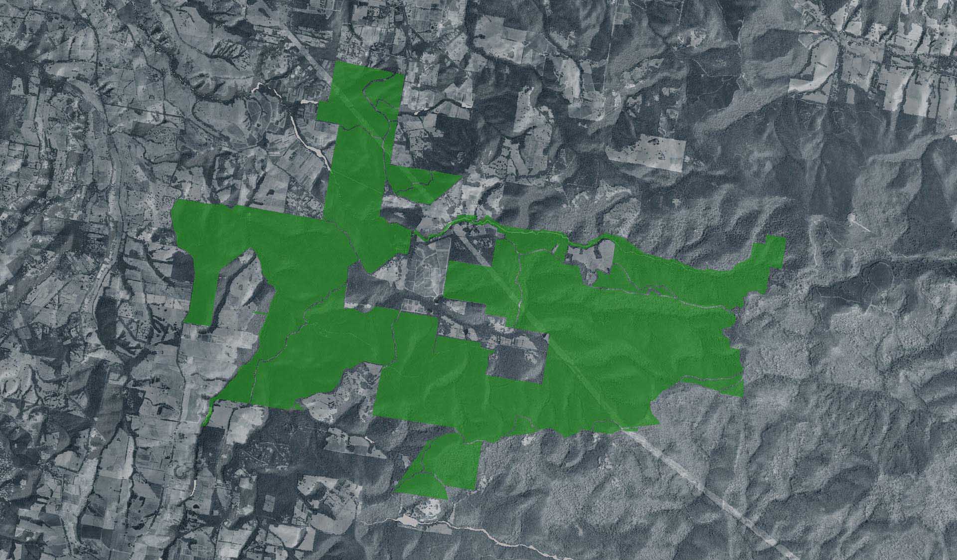
Areas of Bunyip State Park and Kurth Kiln Regional Park closed for deer control operations
Attachments: Bunyip Kurth Kiln control zone map 26_27 (1) (605KB)