Explore
Stony Creek Backwash (Williamstown Workshop, Piers & Stony Creek Backwash)
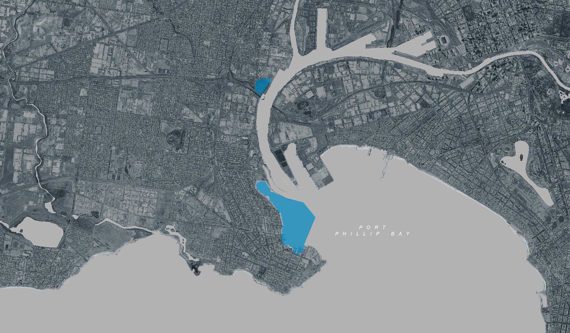
The timber boardwalk section of the Stony Creek backwash is now closed to pedestrian access, as the structure has reached the end of its design life. However, viewing platforms remain at each end of the old structure, where you can see the mangrove and saltmarsh habitat which extends around the backwash.
From here, you can also see the decommissioned portion of the old Stony Creek timber boardwalk, which previously extended across the breakwater. This area has become an excellent place for local birdlife to roost, making the viewing platforms a great place to visit for birdwatching activities.
You may also spot the footings of temporary piers used in the construction of the West Gate Bridge, and the bund in the Yarra River protecting pier 12, and the wreck of an unknown vessel and the remains of the former railway line that once travelled from Spotswood.
The fluctuating tide at Stony Creek Backwash makes it a popular area for fishing.
Cycling is a great way to explore the Stony Creek Backwash. The Hobsons Bay Coastal Trail passes by Stony Creek; the trail forms part of the Bay Trail and runs from Cheetham Wetlands near the mouth of Skeleton Creek to Stony Creek.
Adjoining the Backwash, Westgate Memorial Park is a memorial to the 35 men who lost their lives on October 15, 1970 in the West Gate Bridge Collapse.
How to get there
Stony Creek Backwash (Williamstown Workshop, Piers & Stony Creek Backwash)
Need to know
Stony Creek Backwash (Williamstown Workshop, Piers & Stony Creek Backwash)
Safety in nature
You can benefit both mind and body when you get outdoors to explore and experience Victoria's natural places. Before you go, take a look at our safety tips and check our changed conditions and closures information for a great visit.
Accessibility
Visiting a park can be more of a challenge for people with disabilities, however, in Victoria there are a wide range of facilities to help people of all abilities enjoy our wonderful parks around the state. Parks Victoria provides a range of a equipment, including all-terrain and beach wheelchairs, facilities, accommodation and accessibility information and programs to help you plan and enjoy your visit to Victoria's parks.
Assistance dogs are welcome in Parks Victoria parks and reserves. Entry requirements apply for parks and reserves that are usually dog prohibited, such as national parks.
Warnings & Restrictions
Dogs
Restrictions
- No motorised vehicles, including electric bikes or scooters allowed on management vehicle only paths, tracks or roads
- No fires permitted
- Management vehicle only
- No camping
Warnings
-
Animals and pests
- Snakes
-
Terrain hazards
- Slippery surface
- Uneven ground
-
Water hazards
- Deep water
- Submerged obstacles
- Shallow water
Be Prepared
Change of Conditions
Nature being nature, sometimes conditions can change at short notice. It’s a good idea to check this page ahead of your visit for any updates.
Workshops Pier Repairs are underway - marine exclusion zone in place
- For public safety a legal marine exclusion zone is in place for the duration of the works. This zone extends 15 metres from each side of Workshops Pier and outward of the pier head. The project involves major construction and demolition and is unsafe for public access. Buoys will be in place on the water to mark the area with prohibited access.
- For further information refer to the Victorian Government Gazette