Surface Point Picnic Area (Enfield State Park)

Explore

Surface Point Picnic Area (Enfield State Park)

How to get there

Surface Point Picnic Area (Enfield State Park)

Need to know

Surface Point Picnic Area (Enfield State Park)

Warnings & Restrictions

Dogs

Dogs are allowed but must be on a leash

Restrictions

  • No firearms allowed

Warnings

  • Water hazards
    • Flash flooding
  • Terrain hazards
    • Shaft

Be Prepared

Stay safe and get the most out of your park visit by preparing for natural hazards and other outdoor risks in Victoria’s parks. You are responsible for your own safety and the safety of those in your care. Find out more.

Change of Conditions

Nature being nature, sometimes conditions can change at short notice. It’s a good idea to check this page ahead of your visit for any updates.

Planned burn: Part of park closure Enfield Sate Park

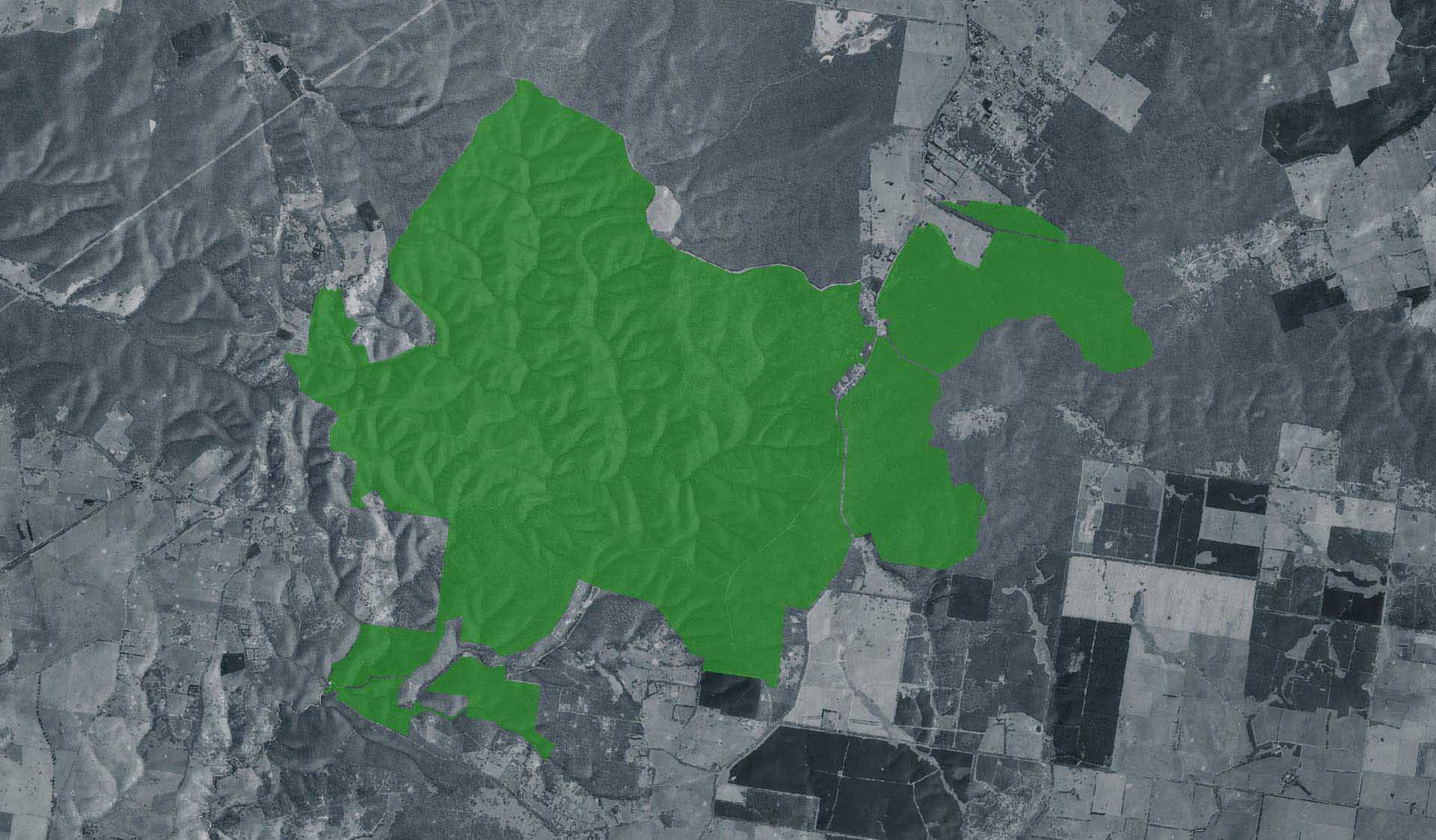
Planned burning operations are scheduled in this park which will result in the part closure of Enfield State Park from the time a burn is approved for ignition until the area is declared safe. Ignition of the burn is scheduled from Tuesday 13 May 2025 and is subject to favourable weather. Check the status of current planned burns at https://plannedburns.ffm.vic.gov.au.

No designated visitor sites are closed during the burn but park visitors may see or smell smoke. 
Visitor access to Surface Point Picnic Area is via Incolls Road and Misery Creek Road or Staffordshire Reef Road and Berringa - Misery Creek Road.  

Tracks that will be closed to support this burn are:

- Berringa-Misery Creek Road (between Surface Point and Ballarat-Colac Road)
- Peppermint Track
- Orchid Track
- East Dozed Break Track
- Unnamed tracks internal track as per signage


Planned burn Enfield State Park (part of park closure)

Planned burning operations are scheduled in this park which will result in the part closure of Enfield State Park from the time a burn is approved for ignition until the area is declared safe. Ignition of the burn is scheduled from Tuesday 13 May 2025 and is subject to favourable weather. Check the status of current planned burns at https://plannedburns.ffm.vic.gov.au.

No designated visitor sites are closed during the burn but park visitors may see or smell smoke. 
Visitor access to Surface Point Picnic Area is via Incolls Road and Misery Creek Road or Staffordshire Reef Road and Berringa - Misery Creek Road.  

Tracks that will be closed to support this burn are:

- Berringa-Misery Creek Road (between Surface Point and Ballarat-Colac Road)
- Peppermint Track
- Orchid Track
- East Dozed Break Track
- Unnamed tracks internal track as per signage


X
By using our site you accept that we use and share cookies and similar technologies with certain approved third parties. These tools enable us to improve your website experience and to provide content and ads tailored to your interests. By continuing to use our site you consent to this. Please see our Privacy Policy for more information.
Confirm