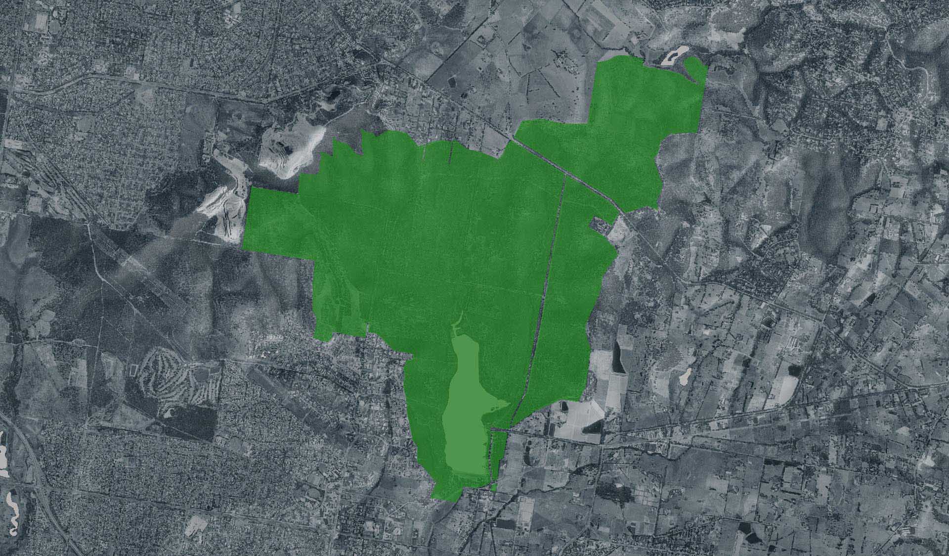
Upper Blair Witch Trail (Lysterfield Park)

Explore

Upper Blair Witch Trail (Lysterfield Park)

The fast flow of the Upper Blair Witch will test even the most experienced riders. Wind through dense spotted gum forest and make the most of the tight twisting trail, jumps and sweet earth berms.

Link up Snipe Trail to head back to Skills Park and Lysterfield Lake Picnic Ground.

Upper Blair Witch mountain bike trail is 2.90km and rated Grade C-more difficult (blue square)

How to get there

Upper Blair Witch Trail (Lysterfield Park)

Need to know

Upper Blair Witch Trail (Lysterfield Park)

Warnings & Restrictions

Dogs

Dogs are not allowed

Restrictions

  • No camping
  • No dogs allowed
  • No firearms allowed
  • No fires permitted

Warnings

  • Other warnings
    • Limbs may fall take care
    • Trees may fall take care

Be Prepared

Stay safe and get the most out of your park visit by preparing for natural hazards and other outdoor risks in Victoria’s parks. You are responsible for your own safety and the safety of those in your care. Find out more.

Change of Conditions

Nature being nature, sometimes conditions can change at short notice. It’s a good idea to check this page ahead of your visit for any updates.

Notification of Deer Control Program within Lysterfield Park (Northern Conservation Zone)

 
Parks Victoria are continuing deer control at Lysterfield Park (Northern Conservation Zone). This program is recommencing on Tuesday 27th of August 2024.
 
Control is being undertaken with accredited and authorised volunteers from the Sporting Shooters Association Australia and Australian Deer Association under the supervision of Parks Victoria.
 
Through the control of deer, the program will:
·      Respond to Victoria’s bio security approach to new and emerging threats
·      Deliver an approved program in support of the Victorian Deer Control Strategy and the Peri Urban Deer Control Plan 2021-2026
·      Provide critical habitat protection to the flora and fauna values in the areas of the proposed works
·      Reduce habitat structure damage and minimise browsing on habitat regeneration and revegetation efforts
·      Reduce deer numbers (with the object of reaching numbers to a manageable level).
 
Upcoming control nights are as follows, from 4pm to 6am:
·      Tuesday 27th of August 2024 (into the early hours of Wednesday)
·      Tuesday 3rd of September 2024 (into the early hours of Wednesday)
·      Tuesday 10th of September 2024 (into the early hours of Wednesday)
·      Tuesday 17th of September 2024 (into the early hours of Wednesday)
 
Please note that during such time the park area will be closed for public safety and deer legal rifles will emit noise, which may be heard in the area. 
 
You may observe signage at gates indicating dates of the upcoming control program. A map of the control areas is attached for your reference.
 
If you would like further information, please email info@parks.vic.gov.au or call 13 1963.

Some barbeques not in operation

Parks Victoria is carrying out inspections in all of our barbecues in our parks. Following these inspections, some barbecues have been temporarily closed until they can be attended by a licenced contractor. We apologise for the inconvenience this has caused.
Visitor safety is our top priority and we advise people to please not to use any barbecue facilities that have been closed. We expect the impacted barbecues to reopen in the coming weeks.

Boat Ramp road closure.

The road from the roundabout to the boat ramp has flooded and is now closed.


Do not drive through the flood water, there are hazards which cannot be seen.

The road will remain closed while we work to rectify this issue. 

Upper Buckle + Lil Shawty MTB Trail closure

Upper Buckle and Lil Shawty Mountain Bike Trails are both closed.

This is due to rainfall which has created unsafe trail conditions.

The trail will be continuously monitored and will reopen when conditions are suitable.

Hug Trail partial MTB Trail closure

A segment of Hug Trail, between Cloverdale Break and South Break, is closed.

This is due to rainfall which has caused unsafe trail conditions

The trail will be continuously monitored and reopened when conditions are suitable.

X
By using our site you accept that we use and share cookies and similar technologies with certain approved third parties. These tools enable us to improve your website experience and to provide content and ads tailored to your interests. By continuing to use our site you consent to this. Please see our Privacy Policy for more information.
Confirm