Explore
Welsh Village (Castlemaine Diggings National Heritage Park)
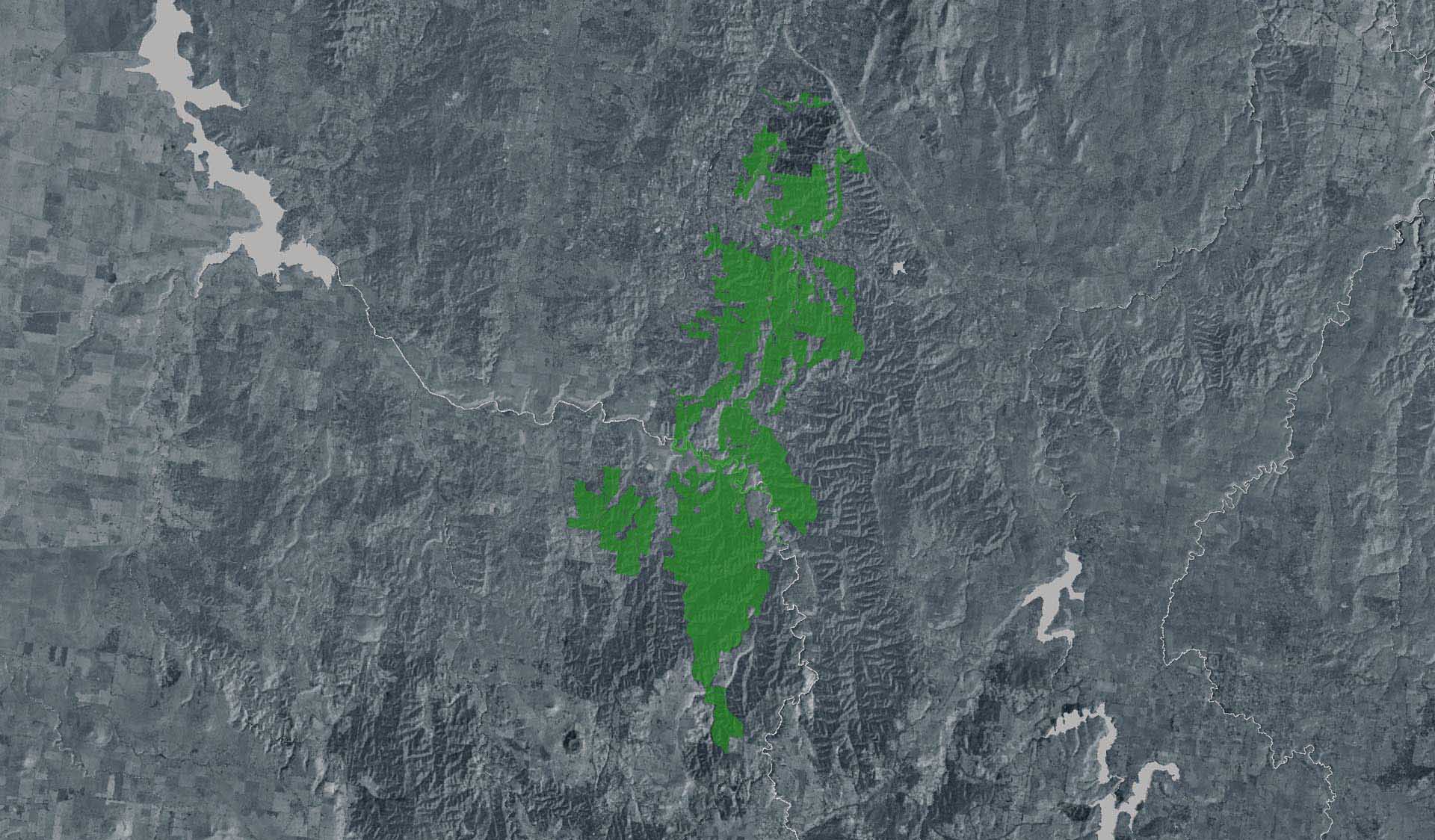
This remote location is only accessible on foot. Dogs, bikes and motor vehicles are prohibited, and should not be taken beyond the carpark on Welsh St Goldfields Track stop LT5). From there, take the 1.2km loop walk through the village. Allow 45 mins. The carpark is accessed via gravel roads (follow the signs from Golden Point Rd) suitable for most 2WD vehicles.
For a longer walk, park at the Garfield Water Wheel and follow the Welsh Village Walk (walk 6) from the trailhead. 5km loop, 2-2.5hrs. Both walks are Grade 3 and follow gravel and earth tracks with moderate to steep hills. The ground is uneven and not suitable for prams. Bushwalking experience, and a moderate level of fitness is recommended. Wear sturdy footwear and bring drinking water.
Visitor Tips: Nimrod Reef Mine and Welsh Village is a designated Special Protection Area due to their historic significance, so the track is not well marked through the mine and village. Before you leave home, download the Heritage Notes from the park webpage and the Castlemaine Diggings Northern Walks map from Avenza Maps.
The Castlemaine Diggings is a heavily mined landscape which contains a variety of ongoing hazards, including uneven and unstable ground, mineshafts, open cuts, quarries, and mine tailings. For your own safety, please stay on mapped tracks, supervise children, comply with local signs and do not climb over or around barriers, fences or on the ruins.
Welsh Village is in the North Central fire district. It is isolated and heavily forested with limited access, and unreliable mobile coverage. We do not recommend visiting on days of days of high fire danger or in windy or stormy weather. On Catastrophic Fire Danger Rating days the Park will be closed for public safety. Do not enter the Park. If you are already in the Park, leave the night before or as early as possible in the morning. Bushfire safety is a personal responsibility. Check the Fire Danger Rating and for days of Total Fire Ban at www.emergency.vic.gov.au, on the VicEmergency smartphone app or call the VicEmergency Hotline on 1800 226 226.
How to get there
Welsh Village (Castlemaine Diggings National Heritage Park)
Need to know
Welsh Village (Castlemaine Diggings National Heritage Park)
Safety in nature
You can benefit both mind and body when you get outdoors to explore and experience Victoria's natural places. Before you go, take a look at our safety tips and check our changed conditions and closures information for a great visit.
Accessibility
Visiting a park can be more of a challenge for people with disabilities, however, in Victoria there are a wide range of facilities to help people of all abilities enjoy our wonderful parks around the state. Parks Victoria provides a range of a equipment, including all-terrain and beach wheelchairs, facilities, accommodation and accessibility information and programs to help you plan and enjoy your visit to Victoria's parks.
Assistance dogs are welcome in Parks Victoria parks and reserves. Entry requirements apply for parks and reserves that are usually dog prohibited, such as national parks.
Warnings & Restrictions
Dogs
Restrictions
- Management vehicle only
- No dogs allowed
- No drones without a permit
- No camping
- No fires permitted
- No horses
- No fishing
- No generators
- No bicycles
- No motorbikes/trailbikes
- No firearms allowed
- No vehicles
Warnings
-
Terrain hazards
- Steep track
- Land slippage
- Steep descent
- Uneven ground
- Deep hole
- Shaft
- Mineshaft
-
Other warnings
- Trees may fall take care
- Limbs may fall take care
- Unpatrolled area
Be Prepared
Change of Conditions
Nature being nature, sometimes conditions can change at short notice. It’s a good idea to check this page ahead of your visit for any updates.