Wye to Kennett River Walk (Great Otway National Park)

Explore

Wye to Kennett River Walk (Great Otway National Park)

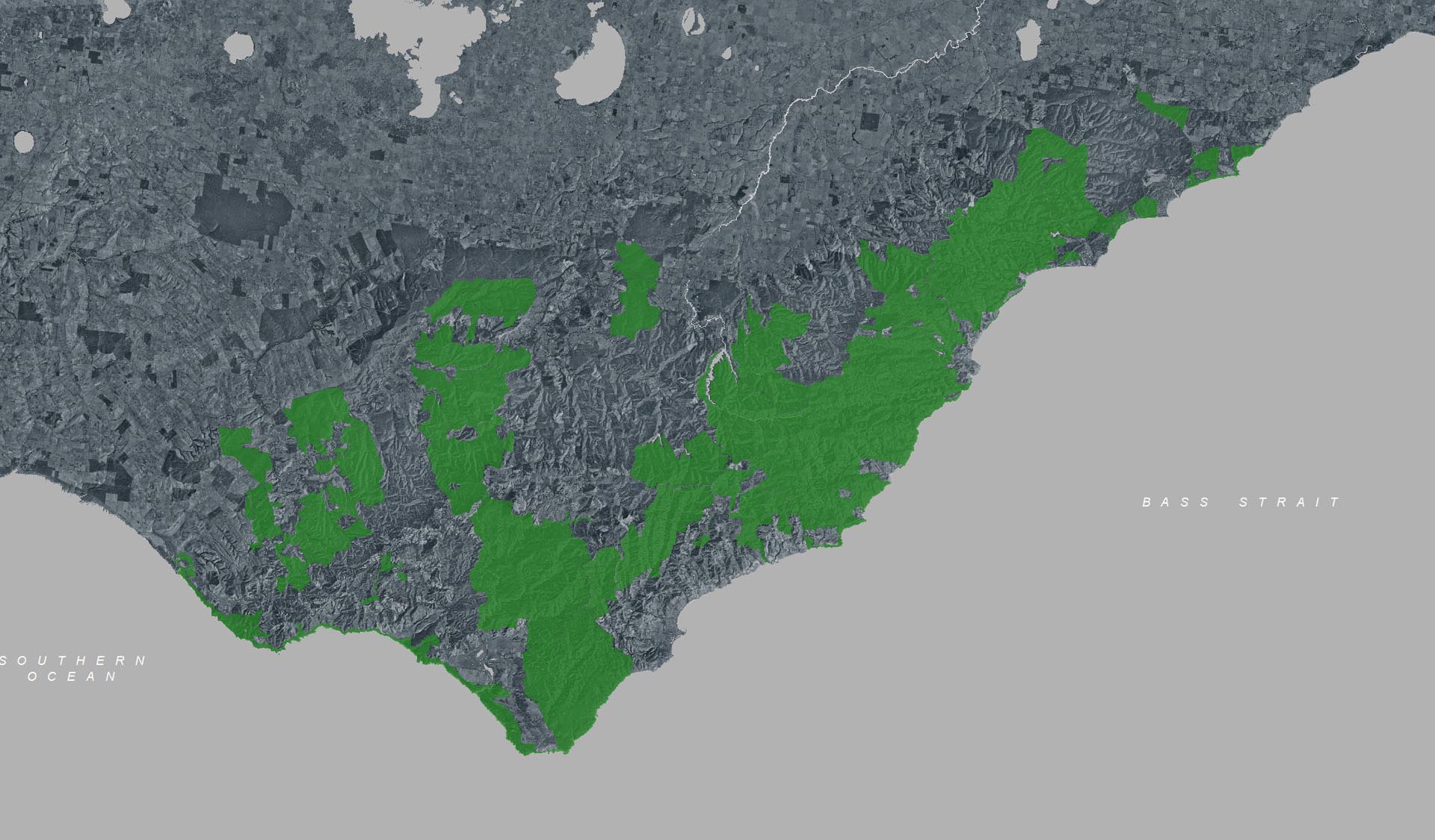
A beautiful coastal walk following the Great Ocean Road through sections of forest between Kennett River and Wye River townships. Enjoy coastal views to Cape Otway and over Bass Straight while hugging the steep edge of the Otway Ranges and treading the line between forest and ocean.

This undulating 4.6km coastal track with steps and creek crossings links the townships of Wye River and Kennett River. High points of the track offer views through tall eucalypts to the Southern Ocean beyond. Learn about the history of the area through storyboards and listen for birdlife as you walk through forest above the Great Ocean Road.

Commencing at the Wye River hotel and winding through the streets of the township, the trail begins at the top of Morely Avenue. A meandering track with some challenging steep sections, this walk follows the coastline above the Great Ocean Road before descending into Kennett River.

Kennett - Wye River is located in Great Otway National Park 15 minutes east of Lorne. The coastal and forest setting is less developed than nearby Lorne providing a quieter and more relaxed atmosphere. There are a small number of areas to camp, walk or take in the sites along the Great Ocean Road. Facilities in this area are more basic.

How to get there

Wye to Kennett River Walk (Great Otway National Park)

Need to know

Wye to Kennett River Walk (Great Otway National Park)

Warnings & Restrictions

Dogs

Dogs are not allowed

Restrictions

  • No fires permitted
  • No motorbikes/trailbikes
  • No drones without a permit
  • No firearms allowed
  • No bicycles
  • No camping
  • No dogs allowed
  • No horses
  • No vehicles

Warnings

  • Other warnings
    • No mobile phone reception
    • Trees may fall take care
    • Limbs may fall take care
  • Animals and pests
    • Snakes
  • Water hazards
    • Rough Surf
  • Terrain hazards
    • Slippery surface
    • Uneven ground

Be Prepared

Stay safe and get the most out of your park visit by preparing for natural hazards and other outdoor risks in Victoria’s parks. You are responsible for your own safety and the safety of those in your care. Find out more.

Change of Conditions

Nature being nature, sometimes conditions can change at short notice. It’s a good idea to check this page ahead of your visit for any updates.

Aire East - CLOSED

  • Following ongoing wet conditions the the Aire East drive in camp ground is CLOSED until 31 October 2024.
  • Soft ground in the camp ground can not safely hold vehicles until it dries out.
  • Do not enter a closed area of National Park.  
  • Regulations apply.

Aire West Campground - Reduced capacity - Sites Closed

  • Following recent estuary flooding all sites from #17 and above are CLOSED at the Aire West campground 
  • Sites 1-16 are OPEN for booked, permit holder campers
  • The Aire West Great Ocean Walk hiker camp is fully OPEN 
  • Camping in areas without a permit, or in areas that are not open, will attract a penalty under National Park Regulations 2013
  • Under reg.83 the infringement value penalty is currently $395 per camper

Canyon Walking Track Closure

The Canyon walking track is currently closed due to damaged infrastructure. This closure will affect walkers trying to complete the "loop" from Phantom falls to Sheoak Picnic ground. Henderson, Won Wondah and Phantom Falls are all still open and accessible via alternate routes. 

Erskine Falls Access Road Closed from Monday 7 to 25 October

Parks Victoria advises that due to roadworks on Erskine Falls Access Road and in the carpark, vehicle access to Erskine Falls will be closed to visitors from Monday 7 to 25 October.
 
Pedestrian access or vehicle access down Erskine Falls Access Road is not available during this time.
 
Pedestrian access is still be available during this time via the Lemonade Creek walking track. This track starts from Blanket Leaf Picnic Area and is a 8.8km return walk. The track is suitable for most ages and fitness levels. It has short steep sections, a rough surface and steps.
 
During this temporary closure, visitors can enjoy other nearby waterfalls, accessed from the Sheoak Picnic Area. See this short video for information on waterfalls to enjoy from Sheoak Picnic Area and elsewhere in the Great Otway National Park. 

Sharps Campground permanently closed

Permanently closed due to environmental and safety risks. 

Gale Storm Damage - Great Ocean Walk - Day 8

Parks Victoria are aware of reports of new gale/wind storm damage on the Great Ocean Walk between Devils Kitchen and the Twelve Apostles.
Trees and wind-blown vegetation obstacles are being assessed and will be treated by crews when safe to do so.
A section > 1.5kms from Devils Kitchen to the Twelve Apostles on the GOW has been impacted by a recent storm and is “challenging to get through.”
Extra time and precautions should be taken in this area.
If the area is assessed as unsafe by Parks Victoria rangers; a closure may need to be implemented at short notice. 
This message is effective Monday 7 OCT 2024 

Great Ocean Walk - Beach Access - Tidal & Swell hazard

  • Hikers and walkers on the Great Ocean Walk (GOW) should be aware of hazardous access points particularly @ Johanna Beach.
  • Following recent storms, high tides and swells > sand levels on the Johanna Beach access points are currently diminished.
  • Access from the GOW onto Johanna Beach during high tides and swell conditions may be extra challenging during these times.
  • A dynamic risk assessment should be undertaking when accessing the beach.
  • Access to this beach,  and all other coastal areas of the GOW, is recommended as far less challenging during times of low swell and low tide.  


Great Ocean Walk - permitted event - 26 OCT 2024

Hikers on the Great Ocean Walk be aware that a permitted activity is scheduled to take place on 
         SATURDAY 26 OCTOBER 2024 
The event is subject to weather conditions and the GOW being open fully.  
The event is not anticipated to impact on any GOW campsites.
Event participants are obligated to give way to hikers.
For more information https://greatoceanultra.com/

For more information or to report concerns call 131963

Reduced Capacity of Big Hill Campground Due to Unfavorable Conditions

Campsites at Big Hill Campground will be reduced over October and November while we wait for campsites to dry out. Only two tent sites (sites 5 and 7) will be available in this time. Graveled caravan and van sites (sites 8-13) remain open and in good condition. Other sites suitable for tents are available nearby at Allenvale Mill Camping Area and Jamieson Creek Campground.

Melba Gully - Large bus access

Melba Gully Walk Track and picnic area is accessible for large coaches. Toilet facilities are available on site

Maits Rest Carpark- bus access

Maits Rest Carpark is suitable for small coaster buses only. Large buses or coaches are advised to use Melba Gully walk track near Lavers Hill.

X
By using our site you accept that we use and share cookies and similar technologies with certain approved third parties. These tools enable us to improve your website experience and to provide content and ads tailored to your interests. By continuing to use our site you consent to this. Please see our Privacy Policy for more information.
Confirm