Yeerung Gorge (Cape Conran Coastal Park)

Explore

Yeerung Gorge (Cape Conran Coastal Park)

Yeerung Gorge also known as - a jewel on the Cape - is a surprising landform that harbours some unusual vegetation associations and contains several deep dark rock pools fed by the babbling East Yeerung River.
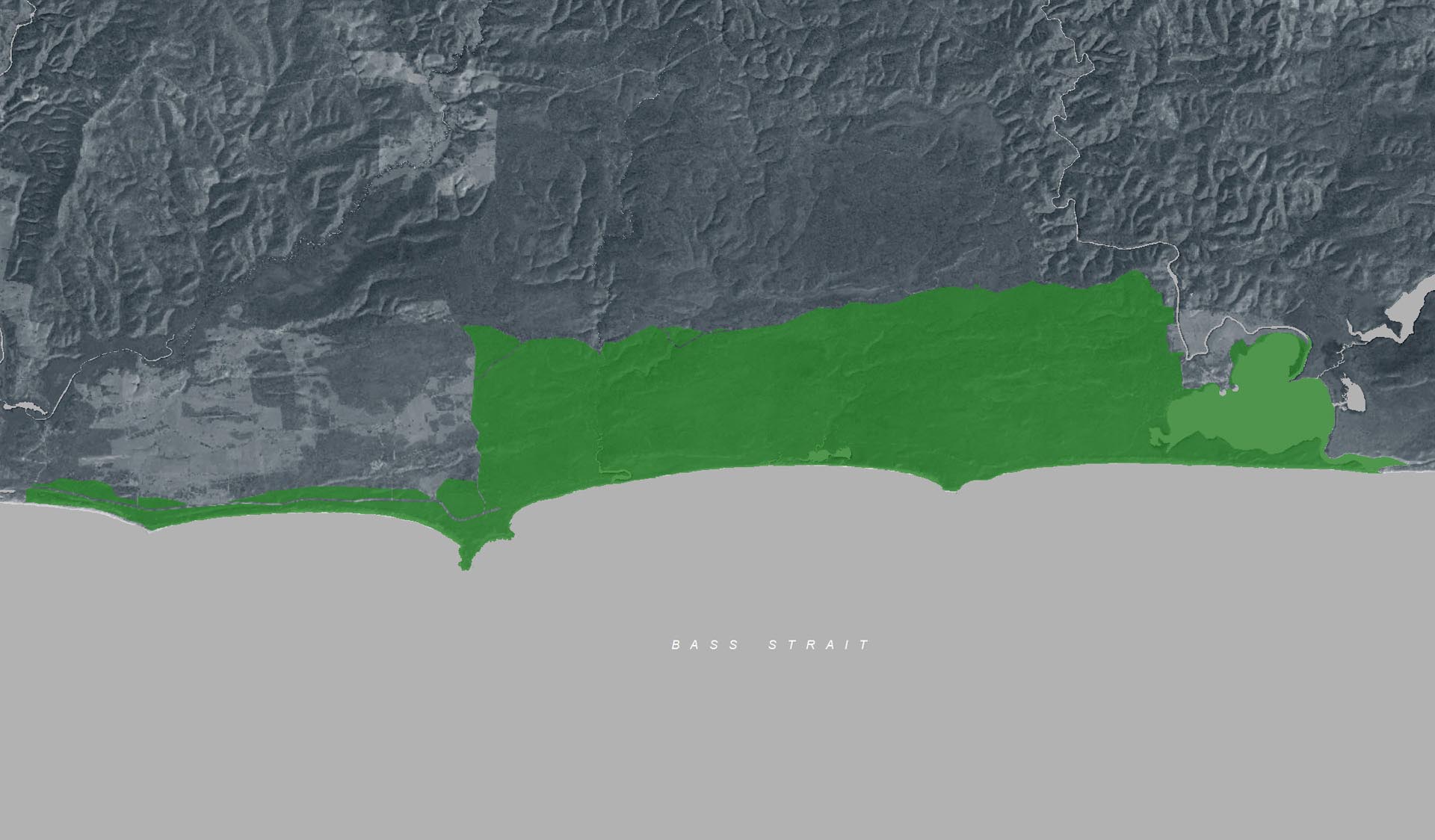
You can reach the gorge, which is deeply incised into the coastal plain, by crossing the Yeerung Bridge and taking the Powerline Track and the East Yeerung Track (4WD only) to the carpark. The walk into the Gorge is 0.6 km, 20 mins one way from East Yeerung Track Carpark.
Visitor Tip:
There is no Phone reception and no facilities provided at the carpark. Ticks are common in this area and visitors should take steps to avoid tick bite by wearing protective clothing and using insect repellent.

How to get there

Yeerung Gorge (Cape Conran Coastal Park)

Need to know

Yeerung Gorge (Cape Conran Coastal Park)

Warnings & Restrictions

Dogs

Dogs are allowed but must be on a leash

Restrictions

  • No fires permitted
  • No firearms allowed
  • No camping

Warnings

  • Animals and pests
    • Ticks
    • Snakes
  • Water hazards
    • Shallow water
  • Other warnings
    • Limbs may fall take care
  • Terrain hazards
    • Slippery rocks

Be Prepared

Stay safe and get the most out of your park visit by preparing for natural hazards and other outdoor risks in Victoria’s parks. You are responsible for your own safety and the safety of those in your care. Find out more.

Change of Conditions

Nature being nature, sometimes conditions can change at short notice. It’s a good idea to check this page ahead of your visit for any updates.

Aerial shooting operations targeting deer (partial Park closures)

The following Parks will have some areas closed while aerial shooting operations are undertaken. Popular visitor sites, walking trails and campgrounds are generally excluded from treatment areas and will remain open to visitors. More information and maps with details on access restrictions be posted here in the coming weeks. Please check the Change of Conditions listing prior to arrival for up to date information.  
 
 11-15 Nov 2024
·      Alpine National Park (Eastern Alps, Ingeegoodbee, Tingaringy & Tom Groggin)
·      Snowy River National Park (north)
 
18-22 Nov 2024
·      Alpine National Park (Bogong High Plains, Mt Bogong, Feathertop, Dinner Plain/Dargo High Plains, Howitt, Wellington & Snowy Plains)
 
9-13 Dec 
·      Snowy River National Park (south)
·      Croajingolong National Park
·      Cape Conran Coastal Park 

3-7 Feb 2025
·      Alpine National Park (Bogong High Plains, Mt Bogong, Feathertop)
·      Mt Buffalo National Park
·      Mt Mittamatite Regional Park
·      Wabba Wilderness Park
·      Burrowa-Pine Mountain National Park

10-14 Feb 2024
·      Alpine National Park (Eastern Alps, Ingeegoodbee, Tingaringy & Tom Groggin)
·      Snowy River National Park (north)
 
3-7 Mar 2025
·      Alpine National Park (Bogong High Plains, Mt Bogong, Feathertop, Dinner Plain/Dargo High Plains, Howitt, Wellington & Snowy Plains) 

For more information on Parks Victoria's deer control program visit this link

Planned aerial shooting operations targeting deer - Cape Conran Coastal Park & Croajingolong National Park

Parts of Cape Conran Coastal Park and Croajingolong National Park will be closed while aerial shooting operations targeting deer are undertaken.
 
Closures will apply during the following dates:
 
16-20 September 2024
9-13 December 2024
2-6 June 2025
 
Visitors are advised to check the Change of conditions listing prior to arrival for up to date information and maps or call 13 19 63.
 
For more information about the program please visit this link.

Attachments: Croajingolong NP and Cape Conran CP aerial operations informations map (2,519KB)

Banksia Bluff Campground - limited bookings or availability 7 Oct - 30 Oct 2024

Banksia Bluff Campground will have limited bookings or availability from 7 October to 30 October 2024 whilst a variety of works occur across the campground. Go to www.parks.vic.gov.au to explore other coastal campground options.

CAPE CONRAN COASTAL PARK ROOFED ACCOMMODATION

Parks Victoria is replacing and upgrading the lost accommodation to create enhanced accommodation options for visitors of diverse backgrounds and abilities at the park. For updates please visit the Project status page.


Dog Friendly Parks

The wet and warmer weather has brought paralysis ticks out in record numbers. Paralysis ticks are known in Coastal and near by Coastal areas and rainforest gullies.


Keep your dog on lead in permitted parks


Dogs are permitted in many parks and reserves provided they are under control and on leads at all times. Visitors should keep their dog on-lead except in designated off-lead areas. Keeping your dog on a lead ensures you both have a safe park visit.
  • Poison baits may be laid to control foxes or other feral animals. Baits can be fatal to dogs.
  • Even if your dog is friendly, other dogs may not be.
  • Your dog can catch parasites (such as fleas and ticks) from wildlife.
  • Snake bites are a real risk in natural areas such as parks.
  • Wildlife such as kangaroos and koalas will defend themselves if threatened by a dog and can cause significant injury to or the death of your dog.

Dog-friendly code of conduct

  • Consider other park users and ensure that dogs are always kept under effective control.
  • Always carry a lead, even when in off-lead areas.
  • Bring a friend if you wish to walk with more than two dogs.
  • Ensure children are supervised whilst near dogs, as they are vulnerable to attack.
  • Ensure your dog’s identification, registration and vaccinations are up to date.
  • Minimise any disturbance to native fauna, including birdlife in the park.
  • Clean up after your dog and take all rubbish home.

Flood and storm related impacts to vehicle tracks

Conditions apply to the following vehicle tracks due to damage caused by flood and storm events.
  • Pearl Point Road - between Bemm River township and Pearl Point is currently open to 4WD vehicles only.
  • East Yeerung Track - accessible only to 4WD vehicles 

Dock inlet camping coordinates

Access to Dock Inlet Walk camping area from the beach can be identified from a white totem pole on the sand dune, or by the following coordinates: 
Latitude -37.784001
Longitude 148.847296

Attachments: Dock Inlet Walk camping area coordinates and map (1,024KB)

Pearl Point Road Upgrades

Pearl Point Track between the township of Bemm River to the intersection of Hekarwe Track is undergoing major flood repair works.

Access to the following is still available but please expect some delays.

Gunnai Beach
Binn Beach
Ocean Beach
Pearl Point
Py Yoot

Access to Pearl Point is also available via Hekarwe Track.

Ground shooting operations targeting deer

Control operations (ground shooting) targeting deer are undertaken in this area.  The Park will remain open to visitors during operations.
 
For more information about deer control to protect biodiversity, please visit this link.

X
By using our site you accept that we use and share cookies and similar technologies with certain approved third parties. These tools enable us to improve your website experience and to provide content and ads tailored to your interests. By continuing to use our site you consent to this. Please see our Privacy Policy for more information.
Confirm