Have your say on protecting iconic Victorian floodplains
Tuesday 11 October, 2022
Parks Victoria and The Victorian Murray Floodplain Restoration Project are inviting the public to make a submission on two projects aimed at saving iconic local floodplains.
Public comment is now being invited on an Environment Effects Statement (EES) for the proposed Belsar-Yungera and Hattah Lakes North Floodplain Restoration Projects.
As a result of altered river flows and changes in climate, the Murray River floodplains have suffered a severe decline in the health of their water dependent ecosystems. The Murray floodplains don’t receive flood events as often or for as long as they once did, impacting our natural landscapes, parks, and native animals and plants.
A huge amount of effort has gone into designing and refining the plans to build new infrastructure that will help reconnect the Murray River to its floodplain at both Belsar-Yungera Islands and Hattah Lakes North.
The VMFRP will remove blockages that stop floodwater flowing into creeks and build infrastructure like flow regulators, channels and containment banks to water the floodplain and hold water there for longer.
This water will bring new life and help nine ecologically significant floodplains to survive and cope with future dry conditions and drought, so they can continue to be enjoyed by future generations.
The Victorian Murray Floodplain Restoration Project will monitor how often natural flooding occurs and will supply water in the years where the environment needs a ‘top up’ to keep it healthy. Water will only be allocated if the floodplain requires it.
The Victorian Murray Floodplain Restoration Project’s Environment Effects Statement brings together the results of more than a decade’s worth of research and consultation with Traditional Owners, landowners, and community to provide decision-makers and the community a thorough report on how the project will affect the environment.
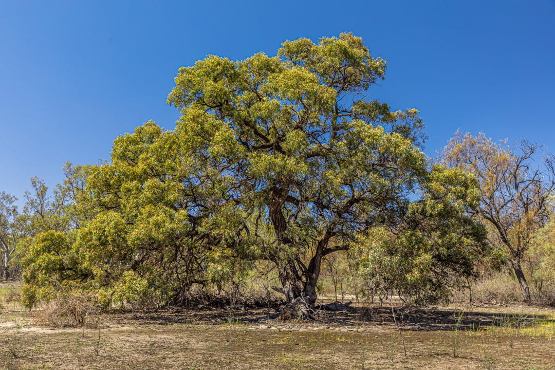
The interval between floods for the Black Box woodlands in Hattah Lakes is now as long as 21 years. The Floodplain Restoration Project will see the landscape replenished and supported for future survival.
The Floodplain Restoration Projects are just one of the many ways Parks Victoria is taking a comprehensive landscape approach to increase the resilience of ecosystems and support native plants and animals across the state.
The EES and the draft Planning Scheme Amendment are now available to read and download at vmfrp.com.au
Anyone can make a submission until 11:59pm on 14 November 2022.
The Victorian Murray Floodplain Restoration Project is delivered under the Murray–Darling Basin Plan by Lower Murray Water, Goulburn-Murray Water, Mallee and North Central Catchment Management Authorities, Parks Victoria and the Department of Environment, Land, Water and Planning, through funding from the Australian Government’s Department of Climate Change, Energy, the Environment and Water.
Related news

A future taking shape in the (artificial) hollows
In the semi-arid woodlands of Wyperfeld National Park, recovery is already emerging after the January 2026 fires - driven by a steady and practical effort to help nature rebound, including targeted support for the threatened Pink Cockatoo.

Big conservation wins for Victoria's small frogs
From tiny toadlets hidden beneath leaf litter to rare tree frogs making a comeback in East Gippsland, conservation efforts across Victoria are delivering encouraging results for some of the state’s most threated amphibians.

Celebrating World Female Ranger Week 2026
To celebrate World Female Ranger Week, we are taking a moment to spotlight some of the incredible women who work on the ground protecting Victoria's natural environment.