Explore
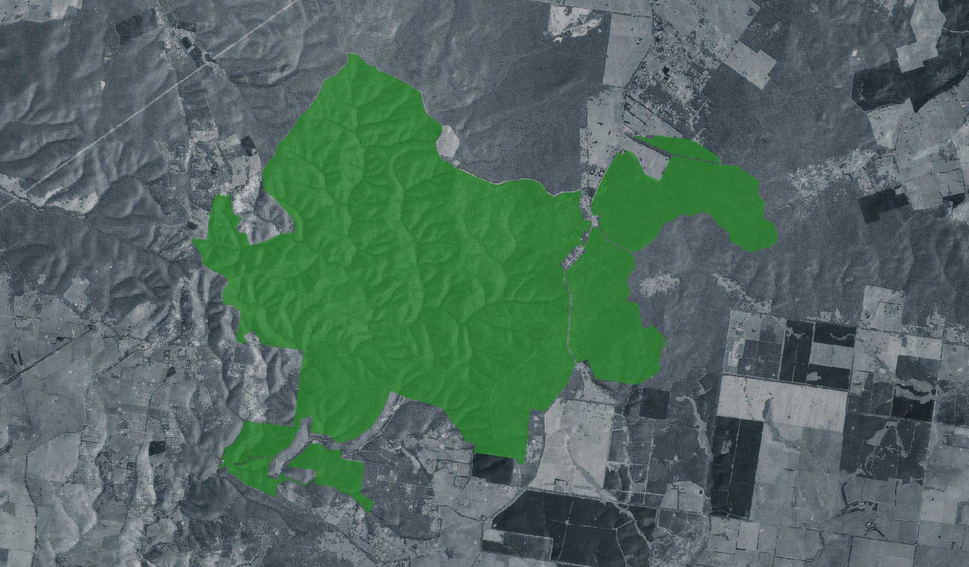
Enfield State Park
Volunteer
How to get there
Enfield State Park
Need to know
Enfield State Park
Safety in nature
You can benefit both mind and body when you get outdoors to explore and experience Victoria's natural places. Before you go, take a look at our safety tips and check our changed conditions and closures information for a great visit.
Accessibility
Visiting a park can be more of a challenge for people with disabilities, however, in Victoria there are a wide range of facilities to help people of all abilities enjoy our wonderful parks around the state. Parks Victoria provides a range of a equipment, including all-terrain and beach wheelchairs, facilities, accommodation and accessibility information and programs to help you plan and enjoy your visit to Victoria's parks.
Assistance dogs are welcome in Parks Victoria parks and reserves. Entry requirements apply for parks and reserves that are usually dog prohibited, such as national parks.
Change of Conditions
Nature being nature, sometimes conditions can change at short notice. It’s a good idea to check this page ahead of your visit for any updates.
-
Surface Point Picnic Area (Enfield State Park)
Planned burn: Part of park closure Enfield Sate Park
Planned burning operations are scheduled in this park which will result in the part closure of Enfield State Park from the time a burn is approved for ignition until the area is declared safe. Ignition of the burn is scheduled from Tuesday 13 May 2025 and is subject to favourable weather. Check the status of current planned burns at https://plannedburns.ffm.vic.gov.au.No designated visitor sites are closed during the burn but park visitors may see or smell smoke.Visitor access to Surface Point Picnic Area is via Incolls Road and Misery Creek Road or Staffordshire Reef Road and Berringa - Misery Creek Road.Tracks that will be closed to support this burn are:- Berringa-Misery Creek Road (between Surface Point and Ballarat-Colac Road)- Peppermint Track- Orchid Track- East Dozed Break Track- Unnamed tracks internal track as per signage -
Enfield State Park
Planned burn Enfield State Park (part of park closure)
Planned burning operations are scheduled in this park which will result in the part closure of Enfield State Park from the time a burn is approved for ignition until the area is declared safe. Ignition of the burn is scheduled from Tuesday 13 May 2025 and is subject to favourable weather. Check the status of current planned burns at https://plannedburns.ffm.vic.gov.au.No designated visitor sites are closed during the burn but park visitors may see or smell smoke.Visitor access to Surface Point Picnic Area is via Incolls Road and Misery Creek Road or Staffordshire Reef Road and Berringa - Misery Creek Road.Tracks that will be closed to support this burn are:- Berringa-Misery Creek Road (between Surface Point and Ballarat-Colac Road)- Peppermint Track- Orchid Track- East Dozed Break Track- Unnamed tracks internal track as per signage
How we keep it special
More people are connecting with Victoria’s natural and cultural landscapes than ever before, which is why Parks Victoria supports healthy and resilient parks for current and future generations.
Parks Victoria is responding to climate change, extreme weather events, human impacts, previous land management practices, invasive species and the changing distribution of plants and animals that is challenging park management and conservation efforts.
Working with Traditional Owners, partners, communities and individuals, Parks Victoria is investing in nature’s future through joint management, projects to enrich visitor experiences and programs to protect habitats and cultural heritage.