Explore
Bunurong Marine National Park
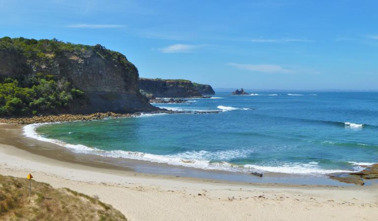
Bunurong Marine National Park (2,046 ha) is located on the Bass Strait coastline between Inverloch and Wonthaggi. While somewhat protected by King Island on the western edge of Bass Strait the park is regularly exposed to strong south-westerly swells from the Southern Ocean.
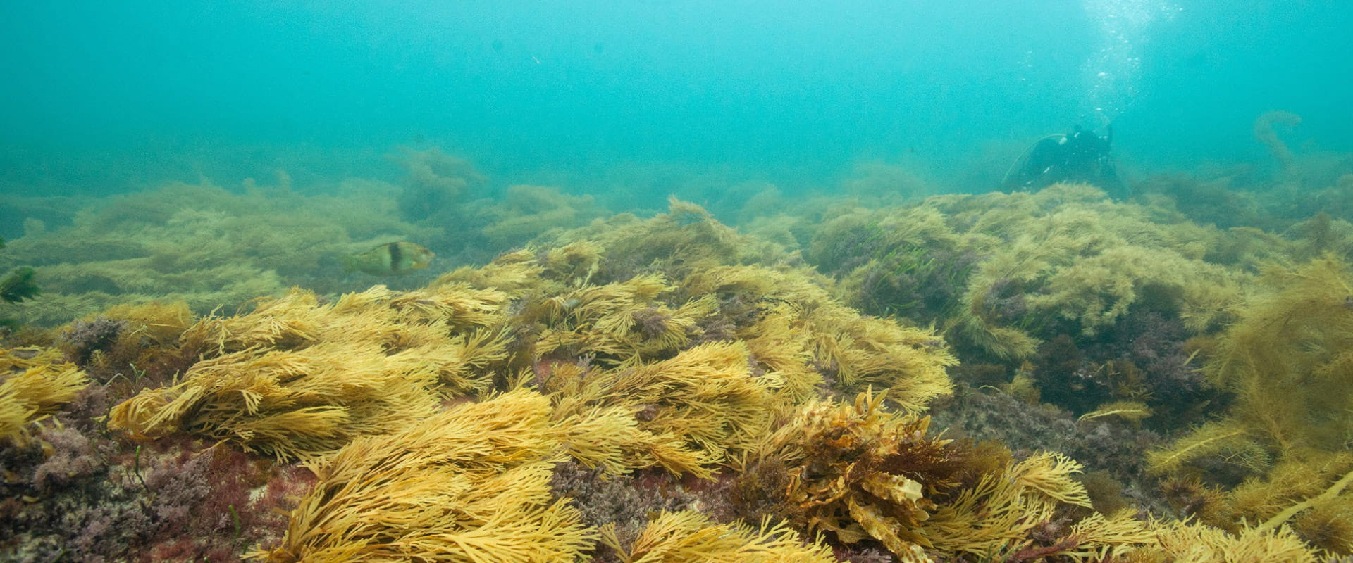
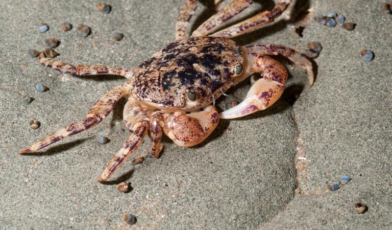
The park has extensive intertidal sandstone rock platforms with pink coralline algae, barnacles, and many molluscs, as well as large areas covered by the beaded algae Neptune's Necklace. Rockpools on the platforms provide a glimpse of marine life beyond the shore with kelp and fish often present in deeper pools. The park has the highest diversity of intertidal and shallow subtidal invertebrate fauna in eastern Victoria.
The subtidal rocky reefs which extend several kilometres from the shore are quite different to those in other parts of Victoria with shallow subtidal reefs rich in species of red and brown algae lacking the more typical kelp species of Golden Kelp and Crayweed.
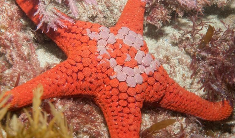
A multitude of more unusual plants and animals flourish in a rich underwater 'gardens' of seaweeds, with an abundance of brightly coloured sea-stars, feather stars, crabs, large marine snails, and many smaller animals. Around the rocks at Eagles Nest and Twin Reefs groups of Port Jackson Sharks rest under the ledges, while Southern Rock Lobsters can be seen in the crevices, and Zebra Fish, Sweep and Blue-throated Wrasse dart about amongst the kelp.
Further offshore beds of an ancient group of coralline red algae known as Rhodoliths, comprising pink unattached calcareous nodules, have been mapped.
A number of marine species have only been recorded from the Bunurong area or reach their eastern distributional limits within the park. The park is also home to 31 conservation listed sea birds and shorebirds.
Things To Do
Snorkelling and diving in Bunurong
Rockpooling in Bunurong
Boating in Bunurong
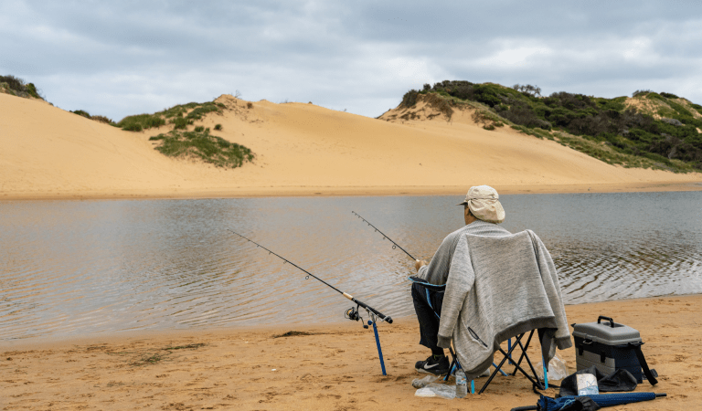
Fishing at Yallock Bulluk
Wildlife
Tours and adventure experiences in parks
One of the best ways you can get into nature is with a Licensed Tour Operator.
There are more than 400 Licensed Tour Operators across Victoria who are ready and waiting to help you experience and connect with Victoria’s spectacular parks and waterways.
Discover more than 60 different types of nature-based experiences including hiking, mountain biking, boating, four-wheel driving, indigenous culture tours, birdwatching, surfing, diving and so much more.
Licensed Tour Operators know all the best places to go and will plan and prepare your visit to ensure you are safe and can enjoy your nature-based adventure to the fullest.
How to get there
Bunurong Marine National Park
When you're there
Download the Bunurong Marine National Park map.
When to go
This section of coast is very popular for beach goers, surfers, and snorkellers during the summer months with an average surface water temperature of 17.5°C.
During late August to March the Hooded Plover, one of Victoria’s most threatened bird species, breeds on the beaches of the Bunurong Marine National Park so please give them space when using the beach.
Need to know
Bunurong Marine National Park
Accessibility
Visiting a park can be more of a challenge for people with disabilities, however in Victoria there are a wide range of facilities to help people of all abilities enjoy our wonderful parks around the state.
Safety
Consult tide charts before going boating. Beware of sudden changes in weather especially when boating in open water.
Beware of strong current and undertows when snorkelling or at the beach. Diving should only be undertaken by trained and experienced divers.
Wear shoes that grip well when walking on rocky surface. Watch your hands at all times to avoid potentially dangerous creatures. Be aware of large unexpected waves when walking on shore and rock platforms. Stay away from cliff edges and bases. Remember to wear a hat, shirt and sunscreen.
How we keep it special
We aim to ensure that our valued parks, and the natural assets and cultural heritage they hold, can be enjoyed now and by future generations.
The management plan for Bunurong Marine National Park directs management for the park until it is reviewed.
The Gippsland Plains and Strzelecki Ranges Conservation Action Plan provides directions for environmental conservation management across the diverse landscape, including Bunurong Marine National Park. This covers the old-growth forests, wetlands, heathlands, coastal dunes and sandy beaches of the area.
Fishing in the Right Place
Download the Victorian Recreational Fishing Guide app which has a boundary locator, using a smart phone's internal GPS to determine whether the user is in, or approaching, or outside a Marine National Park or Sanctuary.


