Explore
Vaughan Springs and Southern Castlemaine Diggings
Castlemaine Diggings National Heritage Park
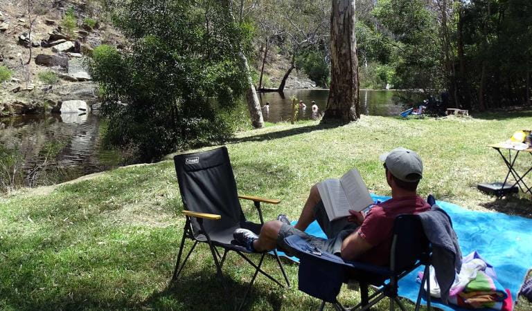
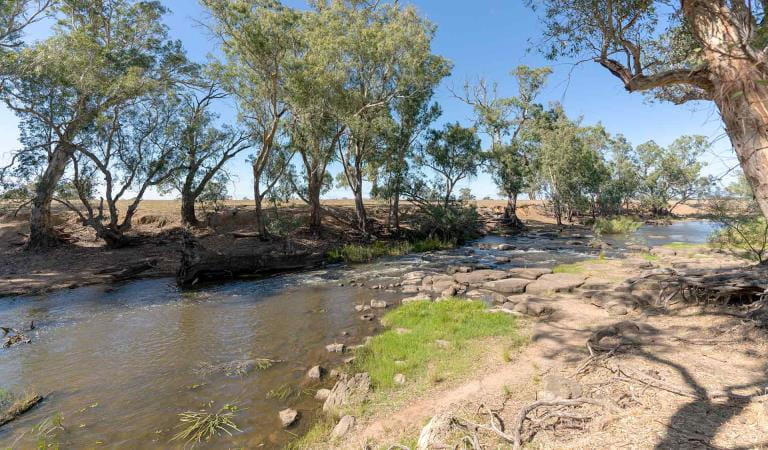
In the southern section of Castlemaine Diggings Heritage Park is Vaughan Mineral Springs. Take a stroll along the Loddon River and spot the various birdlife. Make sure you stop and sample the mineral water along the way!
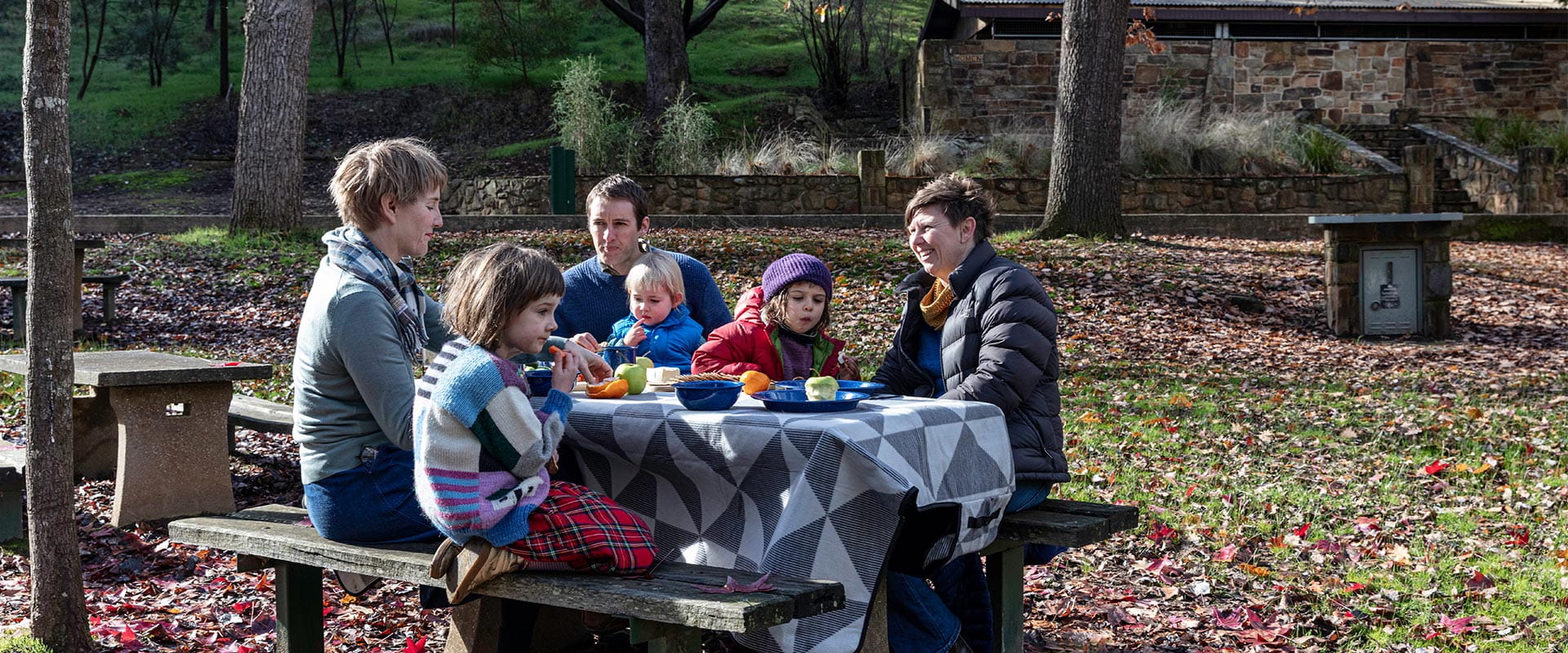
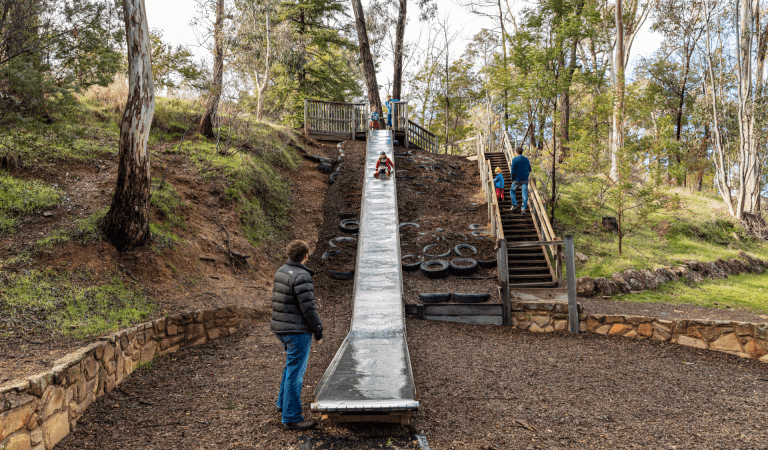
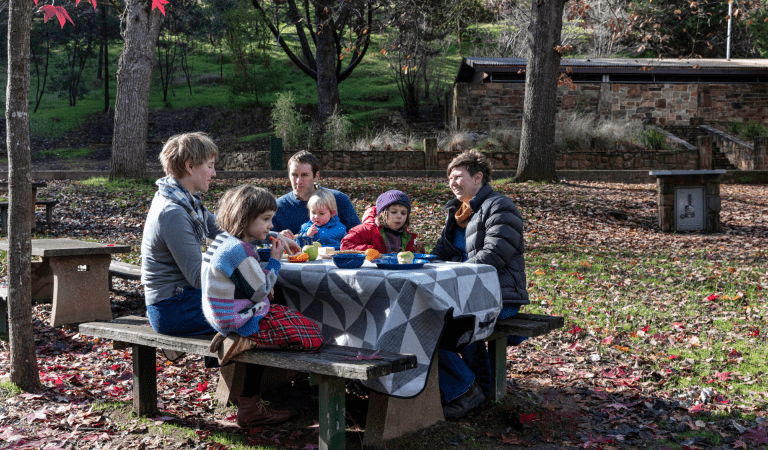
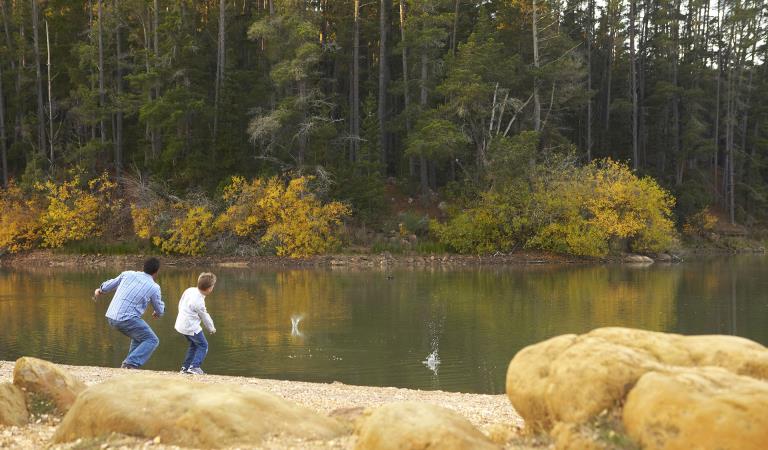
The large open grassy areas are ideal for family picnics. Children will love the giant slide and the opportunity to splash in the river on a hot summer’s day. Toilets, picnic tables, a shelter and free electric barbecues are provided.
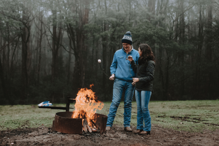
Want to stay a little longer? Pitch your tent on the hill above the visitor area. With access to all the amenities of the picnic area, this is a popular family campground. Please note, dogs are not permitted.
Take a short walk from Vaughan Springs along the Goldfields Track to the Central Springs Heritage Site. You'll find the remains of a Chinese market garden. This peaceful spot is also great for wildlife and birdwatching.
Not far from Vaughan Springs, you can pull over and enjoy the view over Red Knob. This extraordinary landscape was created by sluicing – using a high-pressure water hose to wash away the soil. The result is an other-worldly landscape of dramatic red cliffs.
Bring a picnic to Glenluce Mineral Spring and enjoy the sounds of birdsong while exploring the intriguing rock formations in this tranquil bend in the Loddon River.
Another easy to explore spot is Irishtown. The landscape around is marked by the extensive remains of the early gold rush. This includes shallow diggings, a ruined house site and other signs of settlement.
Things To Do
Camping at Castlemaine Diggings
Nature experiences near Daylesford and the Macedon Ranges
Enjoy a family day out
Picnicking with family and friends
How to get there
Vaughan Springs and Southern Castlemaine Diggings
When you're there
The Castlemaine Visitor Information Centre provides an excellent introduction to the history and heritage of the park. Tours of the park can be booked through the centre.
Find out more about where you can go prospecting using the prospecting areas map.
Need to know
Vaughan Springs and Southern Castlemaine Diggings
Accessibility
Visiting a park can be more of a challenge for people with disabilities, however, in Victoria, there are a wide range of facilities to help people of all abilities enjoy our wonderful parks around the state.
Assistance dogs are welcome in Parks Victoria parks and reserves. Entry requirements apply for parks and reserves that are usually dog prohibited, such as national parks.
Change of Conditions
Nature being nature, sometimes conditions can change at short notice. It’s a good idea to check this page ahead of your visit for any updates.
-
Castlemaine Diggings National Heritage Park
Loop track closed due to Phytophthora outbreak
Loop access will have limited vehicle access to reduced the risk of spread of phytophthora cinnamomi pathogen.Planned burn - up and down track
Planned burning operations are scheduled in the Castlemaine Diggings National Heritage Park which will result in part of the park being closed from the time the burn is approved for ignition until the area is declared safe.Burn name: LM-MGF-CAS-0627- Glenlyon - Up and Down Track. Size: 11ha (in park). Location: 4.6km N of GlenlyonlScheduled date: Sunday 22 March and Monday 23 March, subject to favourable weather conditions.For more information- DEECA’s Neighbour letter, attached
- DEECA’s planned burn website https://plannedburns.ffm.vic.gov.au/
Attachments: LM-MGF-CAS-0627-Glenlyon Up and Down Track (441KB)
Similar Experiences
Greater Bendigo National Park
Creswick Regional Park
