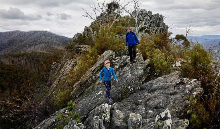
Follow the Lerderderg River downstream before climbing to the top of the Lerderderg Gorge for fantastic views over the river and rugged bushland. The East Walk and Cowan Track Loop is a challenging but rewarding day trip for experienced hikers wanting to capture that feeling of remoteness while remaining close to Melbourne.
Starting and finishing in beautiful O'Briens Crossing Picnic Area, walk the meandering river trail past lush rainforest and tranquil waterholes.
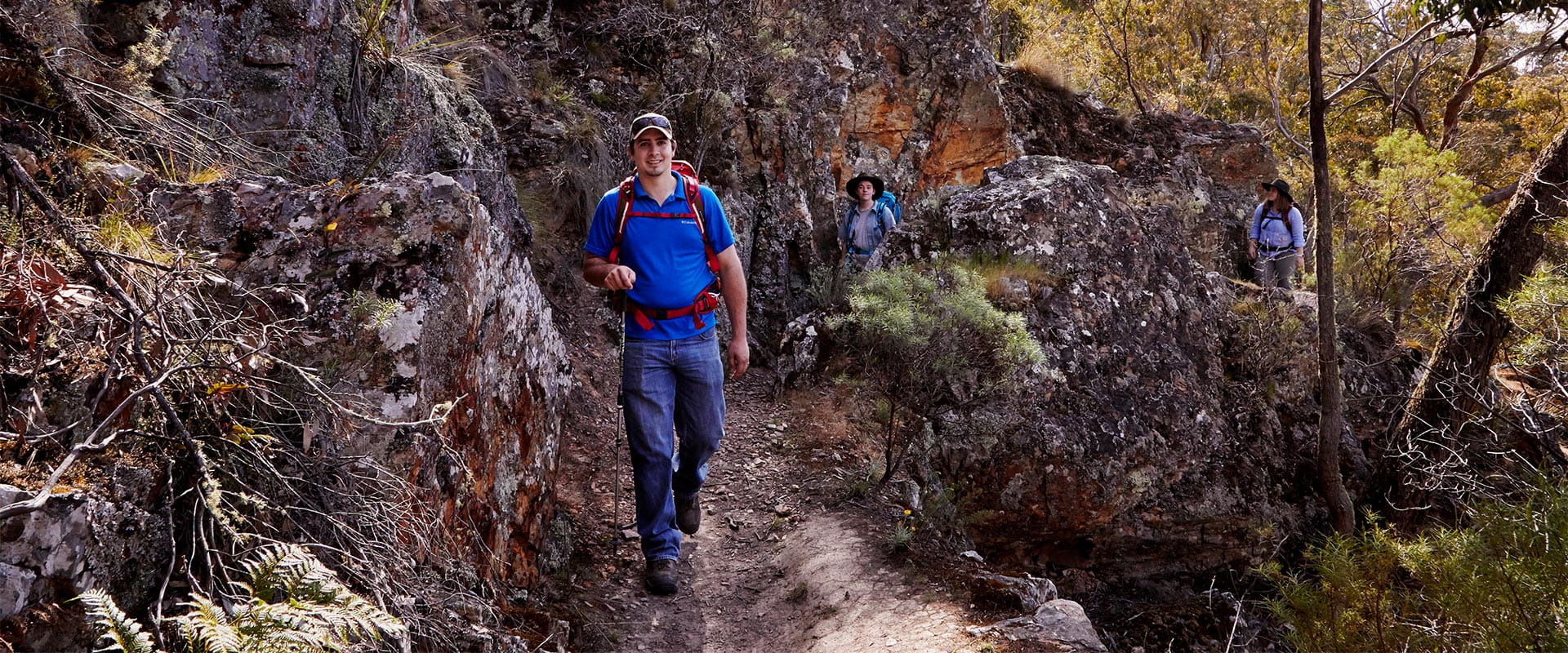
The East Walk follows the Lerderderg River downstream from O’Briens Crossing through to Mine Camp. The trail, which initially hugs the Lerderderg River, is rough and narrow in places and subject to flood damage, which can sometimes make the path difficult to follow. If in doubt, stay on the east bank of the river, close to the water, and you will eventually come to Cowan Track on the left.
The return part of the circuit via Cowan Track is steep and climbs more than 200 metres from the river to O’Briens Road. Here, turn left and walk along O'Briens Road. Look out for the next trail on the left, the Short Cut Track, which will take you back to O’Briens Crossing.
Along the way keep an eye out for koalas in the Manna Gum trees and colourful Spotted Pardalote high in the canopy. Silvereye are another common site and you might see them perched on the stems of inflorescences of the Slender Saw-sedge.
The East Walk and Cowan Track Loop Walk is for experienced and well prepared hikers.
How to get there
East Walk and Cowan Track Loop
The walk starts and finishes at O'Briens Crossing Picnic Area. Take O'Briens Road from the C318 Greendale-Trentham Road. It's one hour and 15 minutes' drive from Melbourne.
Need to know
East Walk and Cowan Track Loop
Accessibility
Visiting a park can be more of a challenge for people with disabilities, however in Victoria there are a wide range of facilities to help people of all abilities enjoy our wonderful parks around the state.
Assistance dogs are welcome in Parks Victoria parks and reserves. Entry requirements apply for parks and reserves that are usually dog prohibited, such as national parks.
Similar experiences
Mushroom Rocks