Explore
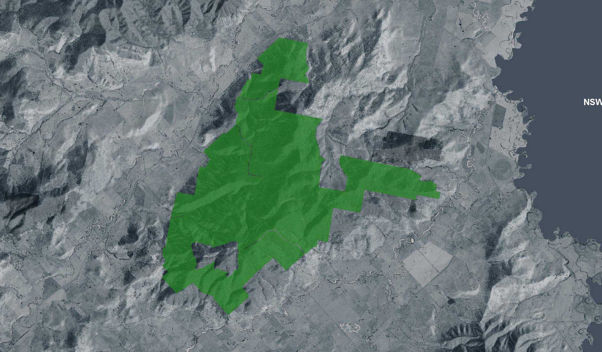
Mount Mitta Mitta Regional Park
Volunteer
How to get there
Mount Mitta Mitta Regional Park
Need to know
Mount Mitta Mitta Regional Park
Safety in nature
You can benefit both mind and body when you get outdoors to explore and experience Victoria's natural places. Before you go, take a look at our safety tips and check our changed conditions and closures information for a great visit.
Accessibility
Visiting a park can be more of a challenge for people with disabilities, however, in Victoria there are a wide range of facilities to help people of all abilities enjoy our wonderful parks around the state. Parks Victoria provides a range of a equipment, including all-terrain and beach wheelchairs, facilities, accommodation and accessibility information and programs to help you plan and enjoy your visit to Victoria's parks.
Assistance dogs are welcome in Parks Victoria parks and reserves. Entry requirements apply for parks and reserves that are usually dog prohibited, such as national parks.
How we keep it special
More people are connecting with Victoria’s natural and cultural landscapes than ever before, which is why Parks Victoria supports healthy and resilient parks for current and future generations.
Parks Victoria is responding to climate change, extreme weather events, human impacts, previous land management practices, invasive species and the changing distribution of plants and animals that is challenging park management and conservation efforts.
Working with Traditional Owners, partners, communities and individuals, Parks Victoria is investing in nature’s future through joint management, projects to enrich visitor experiences and programs to protect habitats and cultural heritage.