Explore
Wyperfeld National Park
Located in the flat, semi-arid north-western corner of Victoria, Wyperfeld is one of Australia's most fascinating national parks.
The central feature of this huge park is a chain of lake beds connected by Outlet Creek, the northern extension of the Wimmera River. The lakes only fill when the Wimmera River over-supplies Lake Hindmarsh to the south of Lake Albacutya. When it rains the semi-arid landscape is transformed by tiny desert plants that sprout from long-dormant seeds, carpeting the ground with clusters of flowers.
Things to do in the area
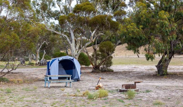
Wonga Camping Area
Other Camping Areas in Wyperfeld National Park
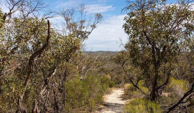
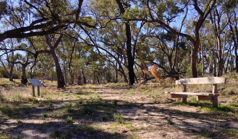
Eastern Lookout
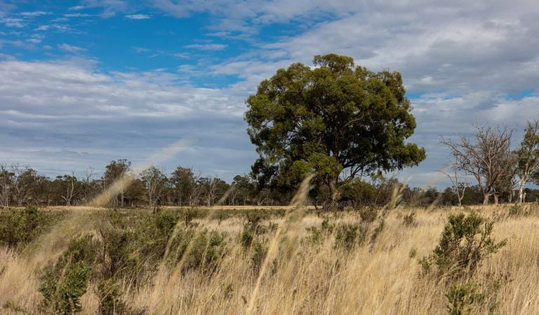
Black Flat
Wildlife and Nature
This area is well known for its wildlife. Keep an eye out for:
Tours and adventure experiences in parks
One of the best ways you can get into nature is with a Licensed Tour Operator.
There are more than 400 Licensed Tour Operators across Victoria who are ready and waiting to help you experience and connect with Victoria’s spectacular parks and waterways.
Discover more than 60 different types of nature-based experiences including hiking, mountain biking, boating, four-wheel driving, indigenous culture tours, birdwatching, surfing, diving and so much more.
Licensed Tour Operators know all the best places to go and will plan and prepare your visit to ensure you are safe and can enjoy your nature-based adventure to the fullest.
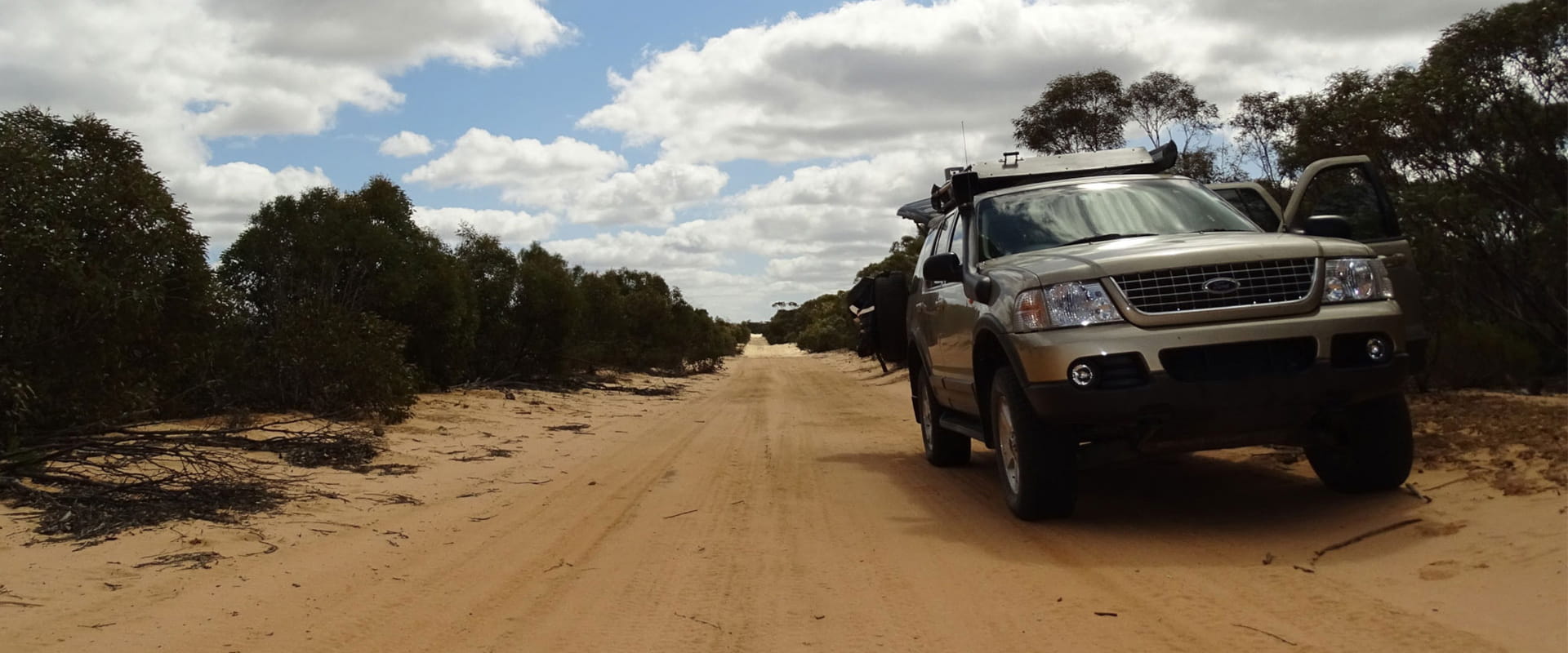
How to get there
Wyperfeld National Park
Wyperfeld National Park is 450kms north‐west of Melbourne and may be reached:
via the Western Highway at Dimboola through Rainbow to southern Wyperfeld
via the Sunraysia Highway at Speed through Patchewollock to Pine Plains
via Hopetoun on the Henty Highway
via Underbool on the Mallee Highway.
A sealed road provides access from Rainbow or Hopetoun to Wonga Camping area in the south. Casuarina and Snowdrift camping areas in the north of the park are accessible from Patchewollock by two wheel drive. If coming from Underbool along Gunners Track or Wonga, four wheel drive is required.
When you're there
Wyperfeld National Park is located in the flat, semi-arid north-western corner of Victoria. Visitors should be well prepared and bring their own drinking water.
Download the trip intention form here before you go.
Need to know
Wyperfeld National Park
Accessibility
Information Centre and Wonga Campground
- Wyperfeld's main day visitor area and Visitor Centre building offer a relatively high level of access.
- The Centre has an accessible alternative entry, and a designated accessible toilet nearby.
- There are designated accessible toilets in the camp area.
- The sandy soils characteristic of this area limits the park's overall accessibility.
Assistance dogs are welcome in Parks Victoria parks and reserves. Entry requirements apply for parks and reserves that are usually dog prohibited, such as national parks.
How we keep it special
The Management Plan for Mallee Parks, including Wyperfeld National Park, directs all aspects of management in the park until the plan is reviewed.
The Mallee Parks Landscape Conservation Action Plan provides directions for environmental conservation management across the diverse landscape which includes Wyperfeld National Park. This covers the remote wilderness consisting of mallee and heathland on sand dunes, saline soaks, woodlands, riverine and lake systems.