
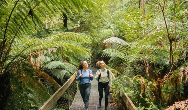
Enjoy a peaceful day out at Cambarville Picnic Area and discover the remnants of Cambarville, a once-thriving sawmilling settlement. Learn about the history of the area and explore Cora Lynn Falls along the Cambarville Circuit Walk.
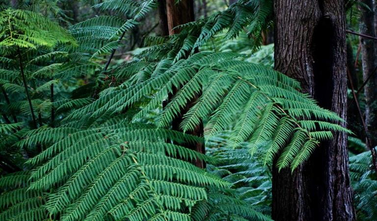
Beginning at the Cambarville picnic area and heading left into the forest, you’ll be greeted with ancient Myrtle Beech, plenty of butterflies, and even Big Tree – a 400 year old Mountain Ash.
When you reach Marysville-Woods Point Road, cross over and continue the track to the beautiful cascading Cora Lynn Falls. Take a moment here to stop, breathe, and appreciate this beautiful place in nature.
Things to do in the area
Lady Talbot Drive
Badger Weir
Rainforest Gallery
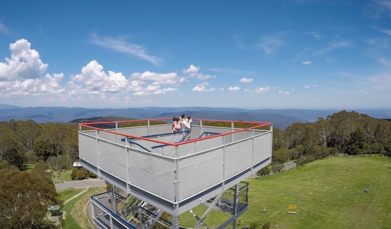
Keppel Falls
Mount Donna Buang
How to get there
Cambarville Picnic Area
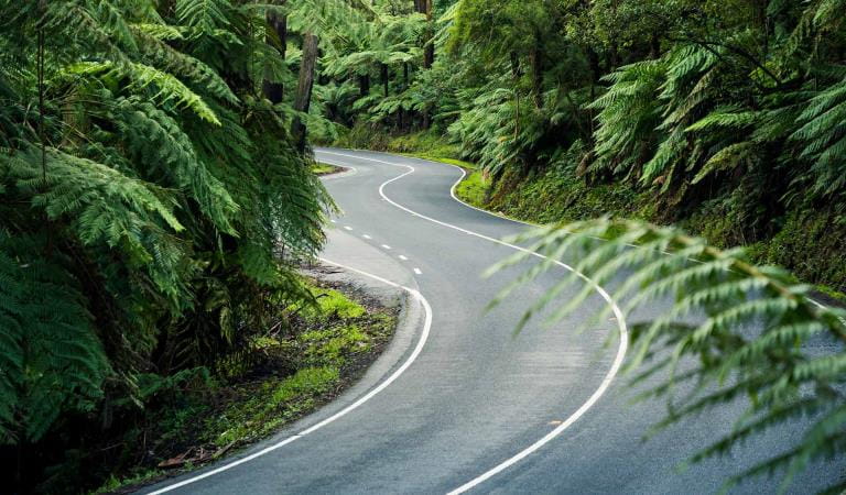
Located within the Yarra Ranges National Park, the Cambarville Picnic Area is located on Cambarville Road off Marysville-Woods Point Road and is only a 20 minute drive from Marysville.
Cambarville Picnic Area is a 2 hour drive from Melbourne’s CBD.
When you're there
Download the Yarra Ranges Visitor Guide for more information about the park and a map.
Need to know
Cambarville Picnic Area
Accessibility
Visiting a park can be more of a challenge for people with disabilities, however in Victoria there are a wide range of facilities to help people of all abilities enjoy our wonderful parks around the state.
Assistance dogs are welcome in Parks Victoria parks and reserves. Entry requirements apply for parks and reserves that are usually dog prohibited, such as national parks.
Change of Conditions
Nature being nature, sometimes conditions can change at short notice. It’s a good idea to check this page ahead of your visit for any updates.
-
Cambarville Picnic Area (Yarra Ranges National Park)
Partial walking track closure on Cumberland Circuit walk (South of Woods Point Road)
There is a partial closure in place on the Cumberland Circuit walk due to hazardous tree fall risk south of Woods Point Rd (see map attached)Attachments: Cambarville_A4_0412 (1,190KB)
Cambarville toilet block closed until further notice
Cambarville toilet block is closed until further notice due to water supply issues and structural problems -
Dom Dom Saddle Picnic Area (Yarra Ranges National Park)
Dom Dom Saddle Picnic Area - Toilet Closure
Dom Dom Saddle Picnic Area toilets are permanently closed and will be removed in their entirety at a later date.The nearest toilets are at Fernshaw Picnic ground. -
Yarra Ranges National Park
Summit Loop Trail - Partial Closure - Lake Mountain Summit
The Summit Loop walking trail is partially closed at Lake Mountain until further notice.Attachments: Lake Mountain Summit Loop Partial Track Closure (562KB)
-
Rainforest Gallery (Donna Buang) (Yarra Ranges National Park)
Rainforest Gallery Closed for Repairs
The Rainforest Gallery boardwalk is closed until further notice. Urgent repairs are required for visitor safety. -
Big Peninsula Picnic Area (Yarra Ranges National Park, Yarra River)
Big Peninsula Stepping Stones permanently closed due to erosion
Due to instability caused by erosion, the Big Peninsula Stepping Stones are permanently closed for visitor safety.