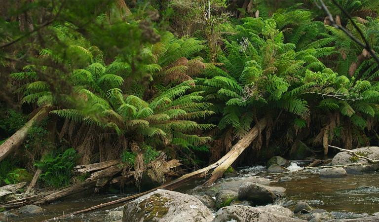
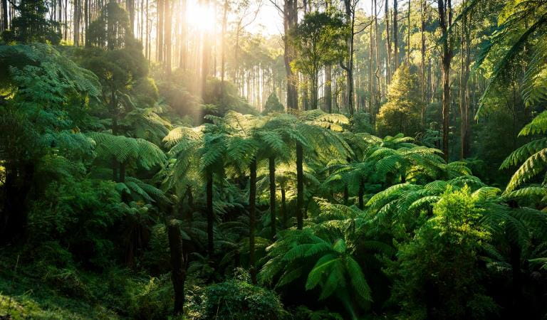
If you like some heritage mixed in with your waterfall walks, visit the abandoned sawmilling township of Cambarville. Although the ruins were damaged in a recent bushfire, you can still see where the houses once stood and the deep cuts in the old stumps where tree fellers fitted boards to stand on while they cut above the wide buttresses of the giant Mountain Ash trees. The walk here passes some pretty waterfalls and the 'Big Tree', the tallest known Mountain Ash in Victoria.
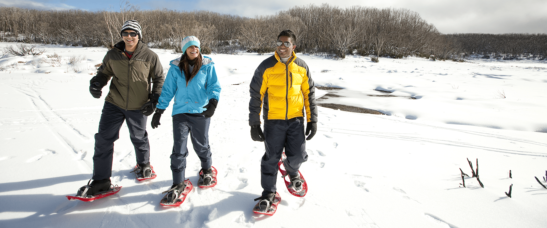
The Yarra Ranges reach their highest altitude as they rise to 1400 metres above sea level at Lake Mountain. In the spring and early summer you can enjoy walks among wildflowers and views across the Alps to Mount Buller - or go mountain biking. In the winter, Lake Mountain is for snowplay, tobogganing and cross country-skiing.
Things to do in the area
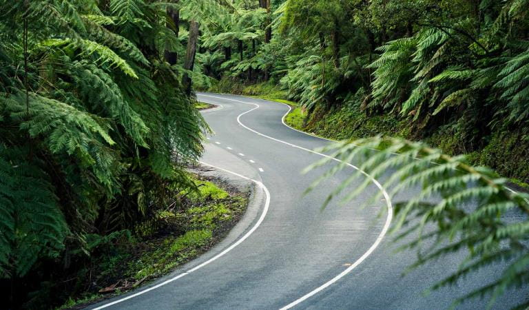
Lady Talbot Drive
Cambarville Picnic Area
Keppel Falls
Picnic areas in Yarra Ranges National Park
How to get there
Marysville Lake Mountain and Cambarville
Lady Talbot Drive commences from Woods Point Rd, on the edge of Marysville township.
To get to Cambarville Historic Township keep going a further 6.5km past the Lake Mountain turnoff on Woods Point Road.
When you're there
During the snow season a fee is charged for entry to the alpine resort at Lake Mountain. For snow season information please obtain a Lake Mountain snow brochure from the Marysville Visitor Information Centre or Lake Mountain Alpine Resort Visitor Centre. For more information, go to lakemountainresort.com.au
All walks at Lake Mountain start from the main car park and visitor centre. During the designated snow season, ski trails are managed for skiing only. Walking on the ski trails during this time is prohibited. Lake Mountain Summit and Summit Loop Walk are open to walkers all year around.
Need to know
Marysville Lake Mountain and Cambarville
Accessibility
Visiting a park can be more of a challenge for people with disabilities, however in Victoria there are a wide range of facilities to help people of all abilities enjoy our wonderful parks around the state.
Assistance dogs are welcome in Parks Victoria parks and reserves. Entry requirements apply for parks and reserves that are usually dog prohibited, such as national parks.
Change of Conditions
Nature being nature, sometimes conditions can change at short notice. It’s a good idea to check this page ahead of your visit for any updates.
-
Cambarville Picnic Area (Yarra Ranges National Park)
Partial walking track closure on Cumberland Circuit walk (South of Woods Point Road)
There is a partial closure in place on the Cumberland Circuit walk due to hazardous tree fall risk south of Woods Point Rd (see map attached)Attachments: Cambarville_A4_0412 (1,190KB)
Cambarville toilet block closed until further notice
Cambarville toilet block is closed until further notice due to water supply issues and structural problems -
Dom Dom Saddle Picnic Area (Yarra Ranges National Park)
Dom Dom Saddle Picnic Area - Toilet Closure
Dom Dom Saddle Picnic Area toilets are permanently closed and will be removed in their entirety at a later date.The nearest toilets are at Fernshaw Picnic ground. -
Yarra Ranges National Park
Summit Loop Trail - Partial Closure - Lake Mountain Summit
The Summit Loop walking trail is partially closed at Lake Mountain until further notice.Attachments: Lake Mountain Summit Loop Partial Track Closure (562KB)
-
Rainforest Gallery (Donna Buang) (Yarra Ranges National Park)
Rainforest Gallery Closed for Repairs
The Rainforest Gallery boardwalk is closed until further notice. Urgent repairs are required for visitor safety. -
Big Peninsula Picnic Area (Yarra Ranges National Park, Yarra River)
Big Peninsula Stepping Stones permanently closed due to erosion
Due to instability caused by erosion, the Big Peninsula Stepping Stones are permanently closed for visitor safety.