Explore
Cope Hut Camping Area (Alpine National Park)
How to get there
Cope Hut Camping Area (Alpine National Park)
Need to know
Cope Hut Camping Area (Alpine National Park)
Safety in nature
You can benefit both mind and body when you get outdoors to explore and experience Victoria's natural places. Before you go, take a look at our safety tips and check our changed conditions and closures information for a great visit.
Accessibility
Visiting a park can be more of a challenge for people with disabilities, however, in Victoria there are a wide range of facilities to help people of all abilities enjoy our wonderful parks around the state. Parks Victoria provides a range of a equipment, including all-terrain and beach wheelchairs, facilities, accommodation and accessibility information and programs to help you plan and enjoy your visit to Victoria's parks.
Assistance dogs are welcome in Parks Victoria parks and reserves. Entry requirements apply for parks and reserves that are usually dog prohibited, such as national parks.
Warnings & Restrictions
Dogs
Restrictions
- No generators
- No dogs allowed
- No firearms allowed
- No vehicles
- Management vehicle only
Warnings
-
Other warnings
- Limbs may fall take care
Be Prepared
Change of Conditions
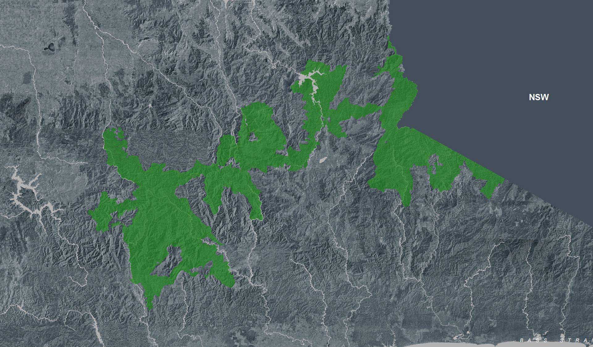
Nature being nature, sometimes conditions can change at short notice. It’s a good idea to check this page ahead of your visit for any updates.
Cobberas, Ingeegoodbee and Macfarlane Flat Track closures.
- Cobberas Track
- Macfarlane Flat Track
- Ingeegoodbee Track
Before visiting, visitors should check the Parks Victoria website for the latest information about their destination.
Attachments: FAQs for Cobberas ingeegoodbee and mcfarlane tks (128KB)
Change of Condition Alpine NP – Road & Track Closures:
Wonnangatta Complex Fire - Area and Road Closures - Gippsland Alps
Closed Sites/Tracks:
- McMillans walking track within the closure area
- National Horse Trail from Wonnangatta Valley to Dargo within the closure area
- Pinnacles Day visitor area and viewing platform. Closed at junction of Pinnacles Road and Billy Goat Bluff Track Intersection.
- Certain Areas within the Grant Historic Area.
- Pioneer Racecourse Camping Areas (Alpine National Park)
- CLOSED Tracks include: Hern Spur Track, Scrubby Creek Track, Mccarthy Spur Track, Castleburn Track, Black Range Track, 65 Fire Trail Track, Junction Spur Track
Open areas
Open areas include:
- Wonnangatta Valley including access from Dargo
- Wellington Campsites on Tamboritha Road
- Wellington River Trailhead to Lake Tali Karng
- Thomastown Camping area, Kelly Hut, McMichaels Hut
- King Spur Track into Mayford
- Alpine National Park beyond Hotham Heights to the north and to Omeo
- Avon Wilderness Park
- Howitt Road
- Tamboritha Road
- King Billy Track
- Mt Howitt Carpark
- Vallejo Gantner Hut
- Macalister Springs
- Mount Howitt Walking Track
- Howitt Hut
- Bryces Gorge
- Horseyard Flat
- MacFarlane Saddle access to Tali Karng northern trail network.
- Moroka Hut
- Blue Rag Range
- Dargo High Plains including Mayford.
- Billy Goat Bluff Track
- Talbotville Camping Ground via McMillans Road
- McMillans Road from Dargo High Plains Rd to Talbotville Camping Area.
- Eaglevale Camping Area.
Please see FFM closure map https://www.ffm.vic.gov.au/permits-and-regulations/closures-of-parks-and-forests
Wonnangatta Complex Fire - Area and Road Closures - North East
Please see FFM closure map for https://www.ffm.vic.gov.au/permits-and-regulations/closures-of-parks-and-forests
Alpine National Park: road and track closures
- Dargo High Plains Road
- Blue Rag Range Track
- Basalt North Track
- Twins Track
- Twins Jeep Track
- Mount Murray Track North
- Gunns Track