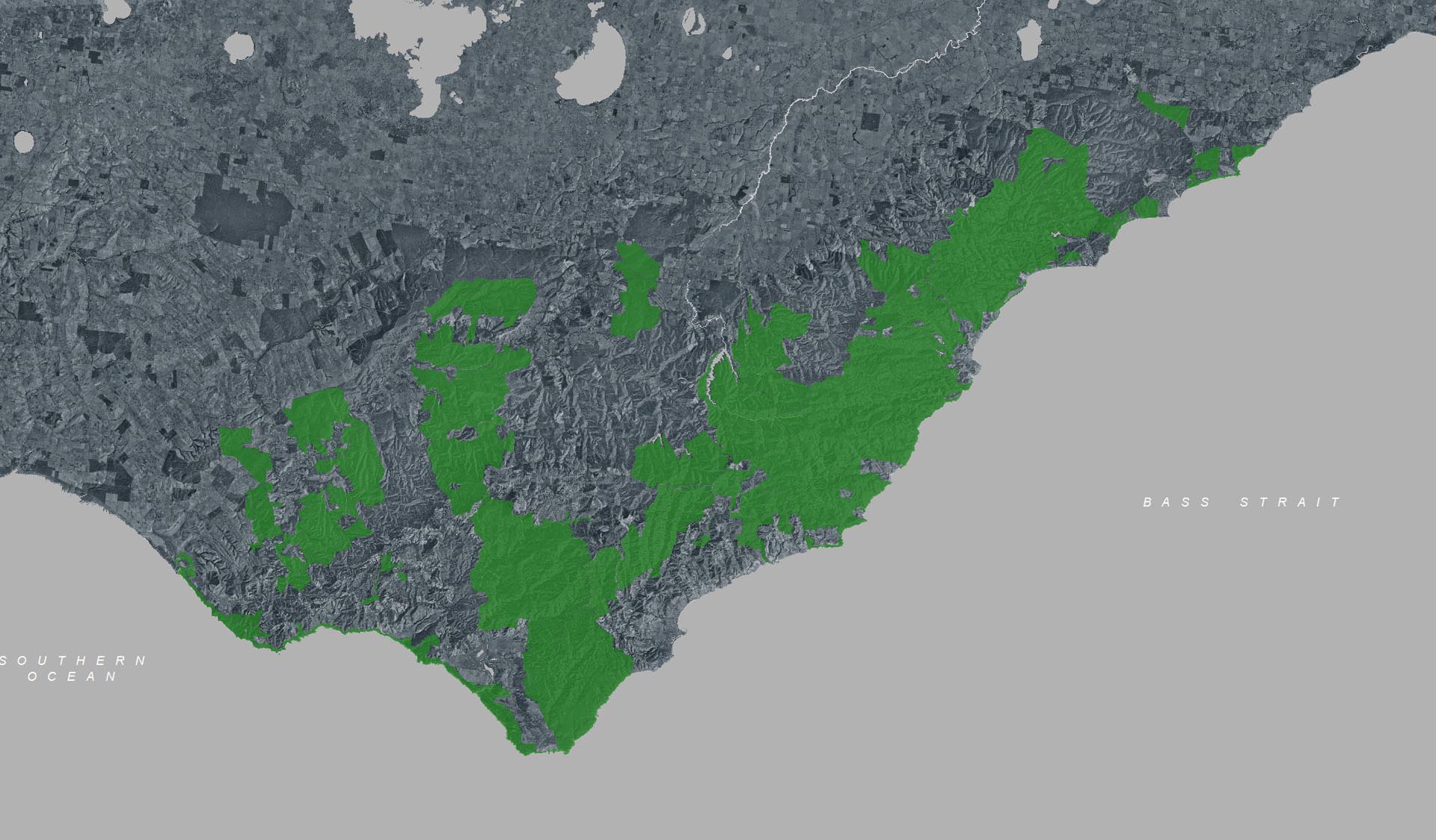
Severe thunderstorms and flash flooding on 16 January 2026 has caused significant damage across parts of the eastern Great Otway National Park.
For public safety, the following areas are closed until further notice while assessments and clean-up works are undertaken:
Closures included but are not limited to :
Erskine falls is limited to the top viewing platform. Access to the base of the falls and along the river track is closed.
Roads & Tracks
Wye Rd
Curtis Track
Godfrey Track
Jamieson Track
Walking tracks
St George
Phantom falls
Lemonade ck
Kalimna
Henderson
Sheoak Falls
Sheoak picnic ground walking Nature Loop
Cumberland
Cumberland Garvey Link
Kalimna Garvey Link
Cora Lynn
Erskine Falls Walking Track
Won Wondah
Alternative walking tracks can be found at:
Moggs Creek picnic area
Distillery Creek picnic area
Ocean Track
Castle Rock
Sheoak Falls to Swallow caves
Many roads, tracks and visitor facilities are impacted by debris, flooding and unstable conditions.
The Great Ocean Road has been impacted,
Always follow safety signage and directions from response crews, and do not enter any closed areas.
Thank you for your patience and understanding as works are undertaken to make these popular areas safe to visit again.
Parks Victoria operations are closely monitoring water levels within the Aire River estuary in Great Otway National Park.
Please be aware of the following important information:Estuary Closure: The Aire River mouth is closed. Water is slowly rising in the estuary. Any rainfall in the Aire River catchment basin, will increase water levels. The river mouth may open naturally at any time, or may be encouraged to do so when conditions are suitable.
Impact on Campsites: Campsites 24 to 40 at the Aire West Campground are prone to high river water levels when over 1.55m. Campers setting up in low-lying areas closest the river should expect the potential for flooding.
Campsites 24 - 40 are CLOSED until conditions dry out.
Safety First: Floodwaters can be hazardous. Visitors are advised to avoid flooded areas for their safety, and comfort.
Actions: When conditions, including tides and swell, are safe and suitable, another attempt to open the river mouth will be made. The river may also open naturally when conditions allow. Ongoing river mouth blockage may result in site closures.
Water Recession: If, and/or when the river mouth opens, water levels are expected to recede quickly.
Thank you for your cooperation.
Planned
burning operations are scheduled in this park which will result in the
following areas being affected from the time a burn is approved for ignition,
until the area is declared safe. Ignition of the burns are scheduled from 18 March
2026 and are subject to favourable weather.
Please
adhere to all closure and advice signs in the area as planned burn activity
commences.
Areas
Affected:
Allenvale
Campground
Sheoak
Picnic area
Sharps
Rd
Garvey
Track
Hendersen
Track
Planned burning operations are scheduled in this park which will result in the following areas being affected from the time a burn is approved for ignition, until the area is declared safe. Ignition of the burns are scheduled from Wednesday 18 March 2026 and are subject to favorable weather.
Please adhere to all closure and advice signs in the area as planned burn activity commences.
Check the status of current planned burns at https://plannedburns.ffm.vic.gov.au
Areas Affected:
Allenvale Campground
Sheoak Picnic area
Garvey Track
Sharps Rd
Henderson Track
Planned burning operations are scheduled in this park which will result in the following areas being affected from the time a burn is approved for ignition, until the area is declared safe. Ignition of the burns are scheduled from 18 March 2026 and are subject to favorable weather.
Please adhere to all closure and advice signs in the area as planned burn activity commences.
Check the status of current planned burns at https://plannedburns.ffm.vic.gov.au
Areas Affected:
Allenvale Campground
Sheoak Picnic area
Sharps Rd
Garvey Track
Henderson Track
Urquhart's will be undergoing some maintenance on the toilet unit (men and female) as well as roading to improve the current conditions prior to winter.
the roading will be complete roughly in half a day. it will be graded with machinery then rolled
Planned
burning operations are scheduled in this park which will result in the
following areas being affected from the time a burn is approved for ignition,
until the area is declared safe. Ignition of the burns are scheduled from 18 March
2026 and are subject to favourable weather.
Please
adhere to all closure and advice signs in the area as planned burn activity
commences.
Areas
Affected:
Allenvale
Campground
Sheoak
Picnic area
Sharps
Rd
Garvey
Track
Hendersen
Track
During the busy peak visitation period at the Twelve Apostles precinct (from summer through to early autumn including school holidays, public holidays, long weekends & busy peak visitation weekends concluding after Chinese New Year / Easter), due to the sheer volume of visitors onsite, a traffic management program is in place to maximize public safety & ensure visitor experience. If you are planning to park your vehicle at the Twelve Apostles before walking the Great Ocean Walk (or sections of it including section 8) during this period, please communicate this information to onsite traffic control staff at the entrance & they will do their best to accommodate your vehicle in the main carpark. This will avoid your car remaining in the overflow carpark area which needs to be cleared and locked each night. Similarly, if you arrive at the Twelve Apostles to park your car at a time when traffic control are not onsite, or setting up, please park your vehicle in the main carpark area. Your assistance is greatly appreciated!