The
Fortress Walk and The Fortress Hike-in Camp remain closed to visitors due to track
damage from the 2024/25 summer bushfires.
For
more information on alternate walks in the western section of the Grampians
(Gariwerd) National Park visit Brambuk the National Park and Cultural
Centre in Halls Gap or call 03 8427 2058.
The
Chimney Pots Walk remains closed to visitors due to track damage from the
2024/25 summer bushfires.
For
more information on alternate walks in the western section of the Grampians
(Gariwerd) National Park visit Brambuk the National Park and Cultural
Centre in Halls Gap or call 03 8427 2058.
The
Red Gum Walk remains closed to visitors due to track damage from the 2024/25
summer bushfires.
For
more information on alternate walks in the western section of the Grampians
(Gariwerd) National Park visit Brambuk the National Park and Cultural
Centre in Halls Gap or call 03 8427 2058.
The Grampians (Gariwerd) National Park has roads
temporarily closed due to bushfire and weather impacts.
Please observe road closures, hazard signage and always
drive to conditions.
Seasonal Road Closures are
now in place from the 9 June 2026 to 29 October 2026.
Please refer to the
attached up-to-date road report below.
Attachments:
Grampians (Gariwerd) National Park - Road Report 17.07.2026 (230KB)
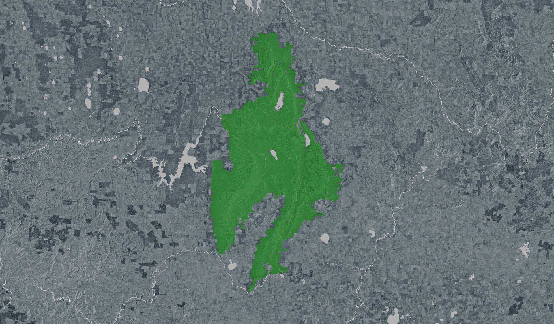
Parks Victoria is conducting a
conservation program to improve the health of the Grampians (Gariwerd) National
Park, following the devastating 2024-25 summer bushfires, which impacted
approximately 80% of the park.
Action is being taken to reduce
predators (foxes and feral cats) and introduced herbivores (deer and feral
goats), threatening the survival and recovery of vulnerable native plants and
animals.
Weather permitting,
an aerial control operation will be conducted from Monday 27 July to
Friday 31 July 2026 to support ongoing conservation programs.
To ensure visitor safety, warning signs will be
placed at temporary closures and road access points to restrict access to the
operational areas. Parks Victoria rangers will also be on the ground at key
closures. Visitors are encouraged to follow instructions from staff and
information on temporary signage.
No additional
closures of visitor sites or campgrounds are being implemented. This includes
the Grampians Peaks Trail (GPT) and GPT Hike-in campgrounds. The GPT will be
buffered out of the operations area.
Please see attached Fact Sheet for
further details of the Aerial pest animal control operation.
For further information please contact
Brambuk the National Park and Cultural Centre on 03 8427 2058.
Attachments:
Gariwerd Aerial Pest Animal Control Program July 2026 Fact Sheet (519KB)
This
update is to provide information for the planned construction work at Mackenzie
Falls in the Grampians (Gariwerd) National Park, and closures while the works
happen.
The
works at Mackenzie Falls precinct includes the construction of a new viewing
platform at the base of the falls, upgrades to the carpark and the Bluff
Lookout Walk and other important safety improvements to stabilise rock and
improve walking tracks.
The Mackenzie
Falls carpark and all walking tracks in the precinct including Broken Falls
Walk, Mackenzie Falls Walk to the base (from the carpark), the Bluff Lookout
Walk, and parts of Mackenzie Falls River Walk will close when construction
starts on Monday, 9 February, 2026, and we anticipate that construction work
will finish by the end of 2026.
The
carpark will be a construction site throughout the works period with large
machinery operating and materials being stored on site. There will be
no access for all vehicles or visitors at Mackenzie Falls Precinct during
construction.
Zumsteins
Picnic Area
When
construction works start at Mackenzie Falls precinct, parking at the popular
Zumstein picnic area will be limited, especially for large vehicles (buses and
caravans) during weekends and holiday periods.
Zumsteins
to Fish Falls –
This popular walk to the beautiful Fish Falls is a 1.5 to 2 hour return walk
(Grade 3) – walkers should have a reasonable fitness level, carry water and
wear sturdy walking shoes as the track can be rocky with uneven surfaces and
some steep sections.
Mackenzie
River Walk
From
May 2026 until works are complete, the base of Mackenzie Falls will not be accessible
via the Mackenzie River Walk from Zumsteins Picnic Area.
Popular day visitor sites such as Reeds Lookout, the Balconies, Boroka Lookout,
Silverband Falls and various walks with large bus carparking will still be
available. For further information on the Mackenzie Falls River Walk contact
Brambuk the National Park and Cultural Centre in Halls Gap (Ph 8427 2058).
Strachans Campground will
be closed to visitors between 13 April and 24 September 2026 while major
upgrade works are completed.
For
further information contact Brambuk the National Park and Cultural Centre in
Halls Gap (Ph 8427 2058).
The
section of Glenelg River Road from the Stony Creek Road intersection to the
Boreang Campground turn off will be closed from Monday 25 May 2026 to Friday 7
August 2026 for roadworks.
The
southern end of the closure can be accessed via Rose Creek Road. Paddy Castle Walk
and Boreang Campground remain open, as does Glenelg River Road, south of Lodge
Road.
For
further information please contact Brambuk the National Park and Cultural
Centre Phone 8427 2058.
Stony Creek Road will be
closed for culvert repairs between 8am – 4pm on Friday 31 July, Monday 3 August
and Tuesday 4 August 2026.
The road will be closed in sections during the works
to allow access via either Silverband Rd or Glenelg River Rd to Stony Creek
Group Campground and Rosea Track.
Please observe closure and
roadworks signage and drive with caution.
For
further information, please contact Brambuk the National Park and Cultural
Centre on (03) 8427 2058.
The
Cultural Centre is closed for refurbishment.
Parks
Victoria is working with a strategic partnership committee of Gariwerd
Traditional Owners from Barengi Gadjin Land Council, Eastern Maar Aboriginal
Corporation, and Gunditj Mirring Traditional Owners Aboriginal Corporation to
‘reimagine’ the future of Brambuk the National Park and Cultural Centre.
Building
upgrades are essential to ensure the centre meets current services
requirements, accessibility, and compliance to current building regulation. New
visitor experiences and activation opportunities including Aboriginal arts,
community events and cultural exhibitions are being explored as Brambuk moves
towards operation by a Gariwerd Traditional Owner entity.
The
National Park Information Centre and gift shop remain open.
For up-to-date national
park information, brochures, maps, permits and access advice contact
information staff at Brambuk the National Park and Cultural Centre info@parks.vic.gov.au or phone 8427 2058
We advise that a weekend trail running event being held in the southern
area of the park on Saturday 8 August and Sunday 9 August 2026.
This event includes sections of the Grampians Peaks Trail and may involve temporary delays on some walking tracks and roads.
Please be aware of Event Marshalls and runners at road crossings and observe all event ahead and speed advisory signage.
If you require more detailed information visit https://peaksandtrails.com.au/ or
contact Brambuk the National Park and Cultural Centre on (03) 8427 2258.