Explore
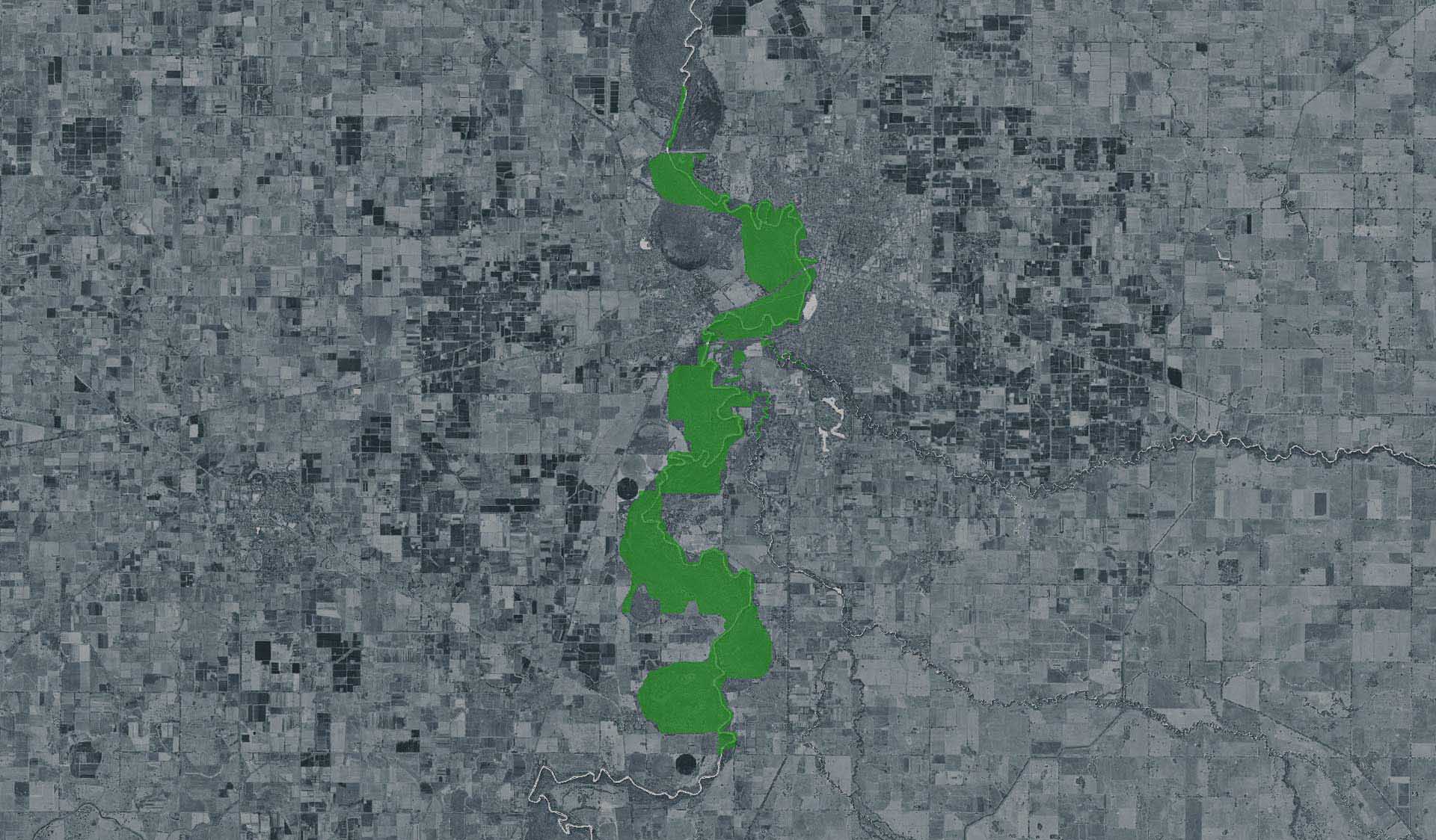
Jollys Bend Camping Area (Shepparton Regional Park, Goulburn River Heritage River)
How to get there
Jollys Bend Camping Area (Shepparton Regional Park, Goulburn River Heritage River)
Need to know
Jollys Bend Camping Area (Shepparton Regional Park, Goulburn River Heritage River)
Safety in nature
You can benefit both mind and body when you get outdoors to explore and experience Victoria's natural places. Before you go, take a look at our safety tips and check our changed conditions and closures information for a great visit.
Accessibility
Visiting a park can be more of a challenge for people with disabilities, however, in Victoria there are a wide range of facilities to help people of all abilities enjoy our wonderful parks around the state. Parks Victoria provides a range of a equipment, including all-terrain and beach wheelchairs, facilities, accommodation and accessibility information and programs to help you plan and enjoy your visit to Victoria's parks.
Assistance dogs are welcome in Parks Victoria parks and reserves. Entry requirements apply for parks and reserves that are usually dog prohibited, such as national parks.
Warnings & Restrictions
Dogs
Restrictions
- No firearms allowed
Warnings
-
Terrain hazards
- Slippery surface
- Uneven ground
- Steep track
-
Water hazards
- Submerged obstacles
-
Other warnings
- Trees may fall take care
- Limbs may fall take care
-
Animals and pests
- Beware European wasps
- Beware feral bees