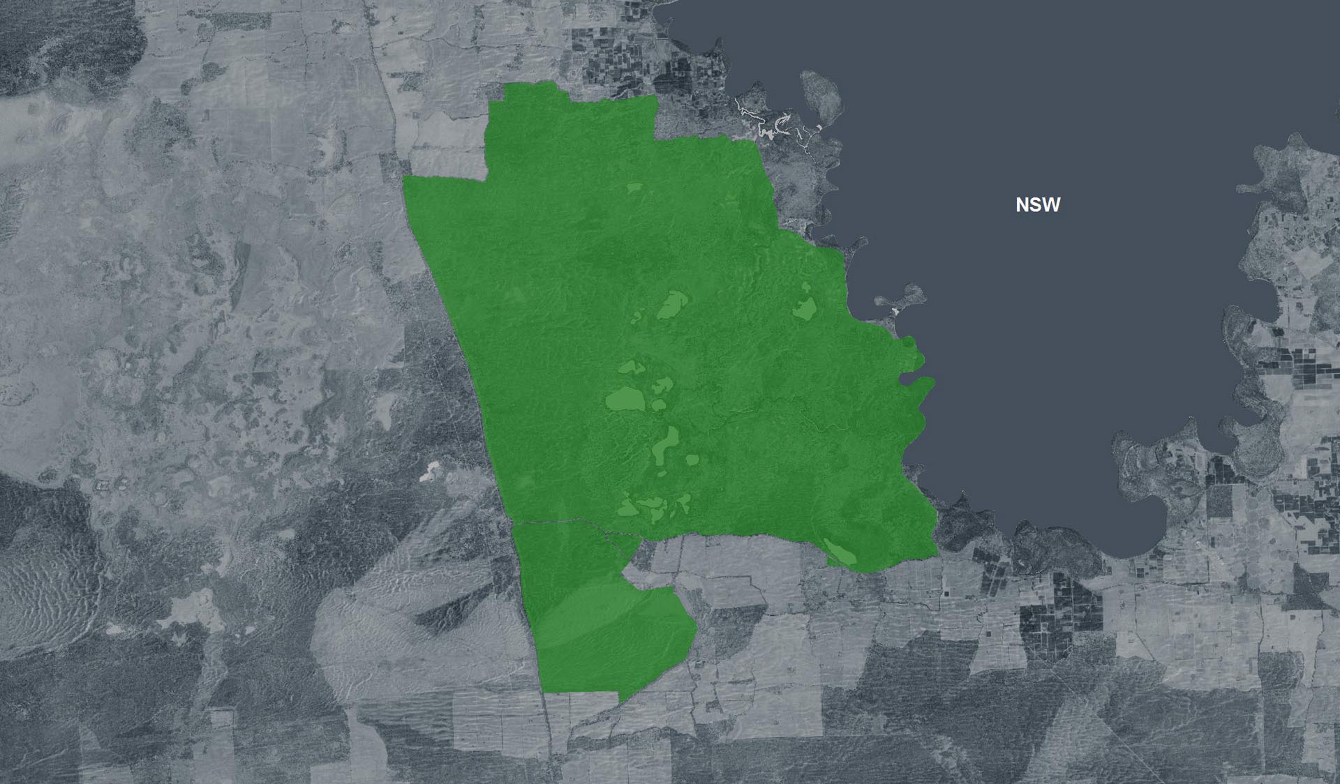
Ki Bend Camping Area (Hattah-Kulkyne National Park)

Explore

Ki Bend Camping Area (Hattah-Kulkyne National Park)

How to get there

Ki Bend Camping Area (Hattah-Kulkyne National Park)

Need to know

Ki Bend Camping Area (Hattah-Kulkyne National Park)

Warnings & Restrictions

Dogs

Dogs are not allowed

Restrictions

  • No dogs allowed
  • No generators
  • No firearms allowed

Warnings

  • Water hazards
    • Strong currents
    • Shallow water
    • Deep water
    • Submerged obstacles
  • Terrain hazards
    • Unstable cliffs
    • Uneven ground
  • Animals and pests
    • Snakes
    • Beware feral bees
  • Other warnings
    • Limbs may fall take care

Be Prepared

Stay safe and get the most out of your park visit by preparing for natural hazards and other outdoor risks in Victoria’s parks. You are responsible for your own safety and the safety of those in your care. Find out more.

Change of Conditions

Nature being nature, sometimes conditions can change at short notice. It’s a good idea to check this page ahead of your visit for any updates.

Changing Access

Raak Track and Goosefoot Track are currently closed due to fire impacts.

From Monday 1st June to December 2026, essential environmental works will take place within the northern section of the park as part of the Victorian Murray Floodplain Restoration Project (VMFRP). During this time, visitors can expect increased heavy vehicle movement and temporary track closures. To ensure public safety, certain areas will be restricted during construction. We recommend checking this page frequently for real-time updates before planning your trip.
Please refer to the attached map for specific details. 

Please plan your visit around these closures and comply with local signs. 
Thank you for your patience.

Attachments: Hattah-Kulkyne access changes May-Dec 2026 (841KB)

Planned access changes: Hattah-Kulkyne VMFRP project

From 10 June to December 2026, essential environmental works will take place within the Hattah-Kulkyne park as part of the Victorian Murray Floodplain Restoration Project (VMFRP). During this time, visitors can expect increased heavy vehicle movement and temporary track closures.

Certain areas will be restricted during construction for public safety. Please refer to the detailed maps of the affected zones on our VMFRP project page. We recommend checking this page frequently for real-time updates before planning your trip to Hattah-Kulkyne.

Closure - Conservation Program

Due to a conservation program involving firearms, Hattah-Kulkyne National Park will be closed from sunset to sunrise on weekdays from Monday 23 November to Friday 11 December 2026, for public safety.

Closures include Lake Hattah and Lake Mournpall campgrounds.

These areas are open to the public during daylight hours and each weekend from sunrise Friday. Closure signs will be in place on all main entry points to closed sections of the park.

Murray Kulkyne Park will remain fully open, allowing access to camping along the river bends. If staying in the Murray-Kulkyne Park, ensure you don't cross River Track into the Hattah-Kulkyne National Park for your own safety.

Please refer to the attached map for more details. 

Attachments: Hattah-Kulkyne National Park_closure map (2,010KB)

X
By using our site you accept that we use and share cookies and similar technologies with certain approved third parties. These tools enable us to improve your website experience and to provide content and ads tailored to your interests. By continuing to use our site you consent to this. Please see our Privacy Policy for more information.
Confirm