Mount Stapylton (Gunigalg) Loop Walk (Grampians National Park)

Explore

Mount Stapylton (Gunigalg) Loop Walk (Grampians National Park)

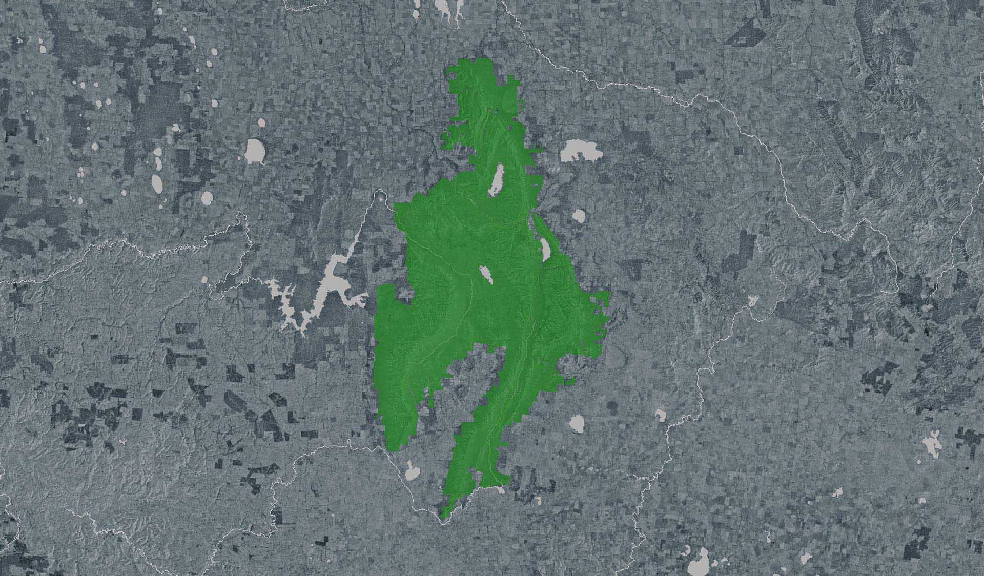
Start this strenuous 12km return walk from Stapylton Campground. The Mount Stapylton loop walk gradually climbs through open forest then quickly turns into a strenuous scramble over rocky outcrops and ramps as you reach the summit. Take in the iconic Grampians vistas before looping back past water-etched rock terraces.

How to get there

Mount Stapylton (Gunigalg) Loop Walk (Grampians National Park)

Need to know

Mount Stapylton (Gunigalg) Loop Walk (Grampians National Park)

Warnings & Restrictions

Dogs

Dogs are not allowed

Restrictions

  • No bicycles
  • No dogs allowed

Warnings

  • Terrain hazards
    • Unstable cliffs
    • Steep track
    • Slippery surface
    • Slippery rocks
    • Uneven ground
  • Other warnings
    • Trees may fall take care
    • Limbs may fall take care

Be Prepared

Stay safe and get the most out of your park visit by preparing for natural hazards and other outdoor risks in Victoria’s parks. You are responsible for your own safety and the safety of those in your care. Find out more.

Change of Conditions

Nature being nature, sometimes conditions can change at short notice. It’s a good idea to check this page ahead of your visit for any updates.

Grampians (Gariwerd) National Park - Roads Update 22.09.2023

The Grampians (Gariwerd) National Park has several roads temporarily closed for repair works and upgrades. Please be aware the movement of visitors in these parts of the National Park is restricted.

Road Closures
Mitchell Road, Mt William Picnic Ground Track are closed.

Partial Road Closures
Mafeking Road from Emmet Road intersection to Mt William Picnic Ground Road.
Pohlner Road from North Link Track to Winfields Road.

Grampians Peaks Trail - Access Closures
Road access (Griffin Track) to the Griffin Trailhead for the Grampians Peaks Trail is currently closed to vehicles due to poor road condition. Walkers can access the GPT on foot via the Griffin Track from the Grampians Tourist Road.

Redman Road Trailhead carpark is currently closed. The nearest site for parking is at Borough Huts Campground.

Seasonal road closures apply to areas within and tracks bordering this park from 15 June 2023. See MapshareVic for locations of the closures. Visit the seasonal road closures page for more information
 
Please see the latest road report attachment for full road and track details at the bottom of this page.

Attachments: Grampians (Gariwerd) National Park Road Report 22.09.2023 (181KB)

Seasonal road closures 2023

Seasonal road closures apply to areas within and tracks bordering this park from 15 June 2023. See MapshareVic for locations of the closures. Visit the seasonal road closures page for more information

Grampians Gariwerd Landscape - Aerial Deer Management Program Temporary Park Closures

Grampians Gariwerd Landscape – Information Update
 
Parks Victoria will commence aerial and ground-based pest animal control operations across the Grampians (Gariwerd) National Park and Black Range State Park during October 2023.
 
Informed by scientific research, this program is aimed at controlling/reducing introduced Goat and Deer populations that are threatening the important natural and cultural values of the Greater Gariwerd Landscape. Qualified and experienced contractors will undertake aerial based control operations across the landscape where these animals are impacting vegetation and cultural values.
 
Parks Victoria staff will continue to support these efforts with staged ground-based operations throughout the year, including at Black Range Scenic reserve.
 
The first aerial operation is scheduled to commence Tuesday 10th October, and conclude Thursday 12th October 2023. A Fact sheet showing the operation areas is attached showing approximate dates and times of temporary closures, and a list of these closures is shown below.
 
  • During operations, some key visitor sites including the Grampians Peaks Trail and other walking tracks may be temporarily closed (up to two hours) for visitor safety. See list below.
  • Park closures will be clearly signposted and managed by staff
  • Visitors are asked to refrain from entering closed areas, staying on designated walking tracks or modifying their plans to visit outside of the hours of operation.   
  • Visitors may be able to see helicopters flying at low levels and hear gunshots
 
All Parks Victoria’s conservation programs are thoroughly planned and implemented under strict protocols and oversight, ensuring that operations are safe, effective, humane and meet obligations of all relevant legislation, Codes of Practice and Standard Operating Procedures.
 
For Further Information about this operation and temporary park closures please refer to the Deer Control Program Fact Sheet attached and Parks Victoria website, or call the Parks Victoria Information centre on 13 19 63.
 
List of visitor sites and roads potentially impacted by temporary closures. Please note, the below times are best estimates and are subject to change. Parks Victoria will update the list of temporary closure times closer to the date.
 
Day 1: Tuesday 10th October - Temporary closures may occur between 08:00 – 14:30pm
(Bullawin Sector)
Closed Visitor Sites
Fortress Walking Track
Mt Thackeray Walking Track
Hut Creek Walking Track
Mt Thackeray and Fortress Overnight hiking camp
Manja Art Shelter walking track
Chimney Pots walking track
Victoria Range Rock climbing sites
 
Closed Roads
Victoria Range Track
Goat Track
“Blind Fireline
Yanganaginj Njawai track
Sites Remaining Open:
Buandik Campground from Red rock road
Billimina shelter
Jadawadjali Falls walking track
Strachans Campground
Ingleton Springs
Red Rock Road
Harrops Track
 
(Burrunj Black Range) Sector
Closed Visitor Sites
Mount Byron Walking track
Mudadgadjiin Picnic Area and Art shelter walk
Rock Escarpment Discovery walk
Wildman Cave
Closed Roads
Muirfoot track (MVO)
Black Range Road between Rees and Rocklands-Cherrypool Rd
Sites Remaining Open:
Rockland Cherrypool Road
Rees Rd
 
 
Day 1: Tuesday 10th October - Temporary Closures may occur between 15:00 – 17:00pm
(Boroka Sector)
Closed Visitor Sites
Grampians Peaks Trail from Mt Difficult road south Crossing to Halls Gap
Boroka Lookout Walking track
Bullaces Glen walking track
Chatauqua Peak Loop walking track
Clematis Falls Walking Track
Closed Roads
Mt Difficult Road - Gravel Section Only
Sites Remaining Open:
Boroka Lookout – from Mt Victory Road only
 
 
Day 2: Wednesday 11th October - Temporary closures may occur between 08:30 – 14:30  
(Glenelg River Sectors)
Closed Visitor Sites
Red Gum Walk
Closed Roads
Mair Track (Seasonal)
Henham Shortcut Track
Channel track
 
(Moora Moora Sector)
Closed Visitor Sites
Tower Hill
Moora Moora Outlet/Dam Wall
Closed Roads
Serra Henham Link Track
Henham Track
Moora Moora Track (Seasonal)
Outlet Track
Rosea Track (Seasonal)
Remaining Open
Paddy’s Castle
Boreang Campground
Bundaleer and Mt Rosea Rockclimbing areas
Glenelg River Road
 
(Wartook Sector) - Temporary Closures may occur between 15:00 -17:00
Closed Visitor Sites
Grampians Peaks Trail from Mt Difficult Rd Crossing sth – Old Mt Difficult Loop intersection Grid Ref e629933 n5903971
Long Point West Hike-in campground
Long Point East Hike Hike-in campground
Wartook Lookout walking track
Closed Roads
Wartook East Fireline (MVO)
Mt Difficult Road – Gravel Section
Old Mill Road
Ricky North track (MVO)
Sites Remaining Open:
Werdug Hike in Campground – movement to and from may be delayed
Boroka Lookout
 
Thursday 12th October - Temporary Closures may occur between 08:30 – 10:30am
(Briggs Sector)
Closed Visitor Sites
Beehive Falls Walking Track
Grampians Peaks Trail from Troopers Creek campground intersection to Gar Hike in campground
Briggs Bluff walking track
Mt Difficult Walking track – from Mt Difficult road /Carters track intersection
Gar Waterfalls Track
Long Point West Hike in Campground
Closed Roads
Carters-Longpoint track (MVO)
Long Point Fireline (MVO)
Sites Remaining Open:
Gar Hike in Campground
Heatherlie Quarry
 
Thursday 12th October - Temporary Closures may occur between 10:30 – 12:30
(Boronia Sector)
Closed Visitor Sites
Tunnel walking track
Boronia Peak walking track
Closed Roads
Mt Cassell fireline (Seasonal)
Terraces Fireline (MVO)* Grampians Peaks Trail return to Halls Gap section
Sites Remaining Open:
Fyans Creek Loop walking track
Delleys Bridge walking track
Tunnel visitor site east
Lake Bellfield Track
 
(Seven Dials Sector)
Closed Roads
Redman Rd – between GPT/Redman road trailhead and East Park Boundary
Seven Dials Track (MVO) *rock climbing areas
Sites Remaining Open:
Grampians Peaks Trail
 
(Wannon Sector)
Closed Roads
All internal seasonal and management vehicle only tracks
Lynches Crossing track
Childs Lane
Park Boundary tracks near gooseneck swamp and Brady Swamp

Attachments: Grampians Deer Management Fact Sheet_final (1,792KB)

X
By using our site you accept that we use and share cookies and similar technologies with certain approved third parties. These tools enable us to improve your website experience and to provide content and ads tailored to your interests. By continuing to use our site you consent to this. Please see our Privacy Policy for more information.
Confirm