5 top walks near Melbourne accessible via public transport
Want to escape the city for a few hours without needing a car?
These top day walks and hikes are all reachable by public transport from Melbourne CBD. So, load up your myki, hop on the tram, train or bus, and let’s get into nature!
Ranger tip: Before heading out on a walk or hike, tell someone where you’re going and when you expect to be back. Think about your group’s fitness level, stamina, and abilities. Always pack extra water and wear sturdy, enclosed shoes, and sun protection.
1. Bushland Circuit Trail, Yarra Bend Park
Public transport route: #200, #202 or #207 bus to Yarra Bend Park/Studley Park Rd
Walk distance: 850m
Walk time: 25mins return
Yarra Bend Park on Wurundjeri Country is the largest area of natural bushland near the heart of Melbourne and home to the city’s famous bat colony. The park has many walking trails and is easily accessible via public transport from Melbourne CBD.
Take the #200, #202 or #207 bus to the Yarra Bend Park/Studley Park Rd. From here, it’s a five-minute walk to the historic Studley Park Boathouse.
The Bushland Circuit Trail begins on the Studley Park Picnic Area side of the river at Kane’s Bridge. As you pass through the grasslands, keep an eye out for Black‐faced Cuckoo Shrikes, Silvereyes and White‐plumed Honeyeaters. All are easily located in the foliage by their constant chatter and song.
The path loops back following the river, returning to the boathouse. Enjoy a light meal at the oldest public boathouse on the Yarra River, hire a boat, kayak, or canoe to explore further afield or pick up some snacks from the kiosk and relax on the banks of the Yarra.
Kanes Bridge, Yarra Bend Park
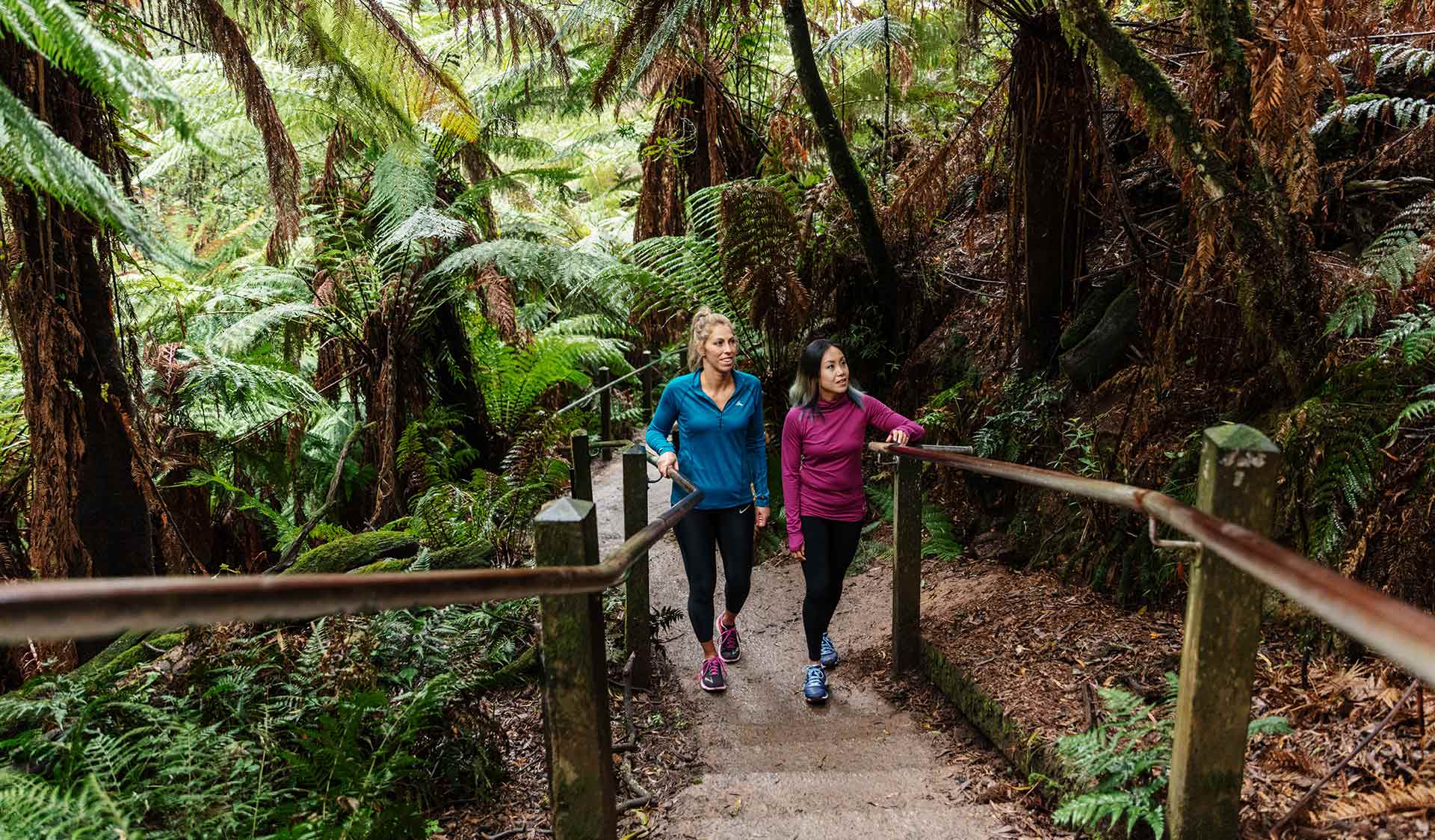
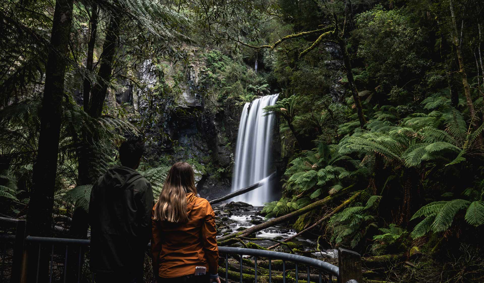
2. Sherbrooke Falls Walk, Dandenong Ranges National Park
Public transport route: train to Belgrave Station (Belgrave Line), then #694 bus to Sherbrooke Picnic Ground
Walk distance: 2.4km, return
Walk time: 1 hour
The Sherbrooke Falls Walk is a peaceful, mostly flat, family-friendly walk in Dandenong Ranges National Park on Wurundjeri Country.
To get here via public transport, take the train along the Belgrave Line to Belgrave Station, then take the #694 bus towards Mt Dandenong and get off at the Sherbrooke Lodge Rd/Sherbrooke Rd stop. Start your walk at Sherbrooke Picnic Ground – a two-minute walk from the bus stop.
You'll wind through towering mountain ash trees and fern-filled gullies before reaching the scenic Sherbrooke Falls. The falls are most inspiring after rain when the swollen Sherbrooke Creek cascades over rocky outcrops.
Take time to relax on the bridge over the falls before returning to the picnic ground. If you’re feeling up to it, there are other trails to explore in this area, too. Otherwise, enjoy a picnic lunch at Sherbrooke Falls before heading back to Melbourne.
Remember to always leave no trace and take your rubbish with you.
3. 1,000 Steps Walk (Kokoda Track Memorial Walk), Dandenong Ranges National Park
Public transport route: Upper Ferntree Gully Station (Belgrave Line)
Walk distance: 1.4km, one-way
Walk time: 45mins, one-way
The 1,000 Steps Walk in Dandenong Ranges National Park on Wurundjeri Country is one of Melbourne’s most popular bushwalks.
Its car park is often crowded so taking public transport is a great way to help reduce congestion in the park. Take the train along the Belgrave Line to Upper Fern Tree Gully train station and walk 1.2km to the bottom of the steps. Then, it’s a steep climb (and a great workout!) up 1000 narrow, slippery steps.
When you reach the top, head back down the hill via the adjacent Lyrebird Track (1.4km).
The 1000 Steps Walk can get very busy during peak times so plan to visit mid-week or earlier in the morning on weekends. You’ll have a better chance of spotting a Superb Lyrebird when it’s quieter, too.
1000 Steps Walk, Dandenong Ranges National Park
4. Flinders Peak Walk, You Yangs Regional Park
Public transport route: Train to Lara Station (Geelong Line V/Line), then taxi to Turntable car park
Walk distance: 3.5km
Walk time: 1 hour return
Flinders Peak is the highest point in You Yangs Regional Park on Wadawurrung Country. If you’re feeling prepared for a challenge, the 450-step climb to reach Flinders Peak Lookout, and a huge view of the western volcanic plains, Geelong and Melbourne, is well worth the effort.
Public transport will take you as far as Lara train station. From here, it’s a 10-minute taxi ride to the park.
The walk starts at the Turntable car park, where you'll find barbecues, toilets and picnic tables. The car park is also a trailhead for a number of other walks catering for all ages and abilities.
Read more: You Yangs Regional Park Visitor Guide
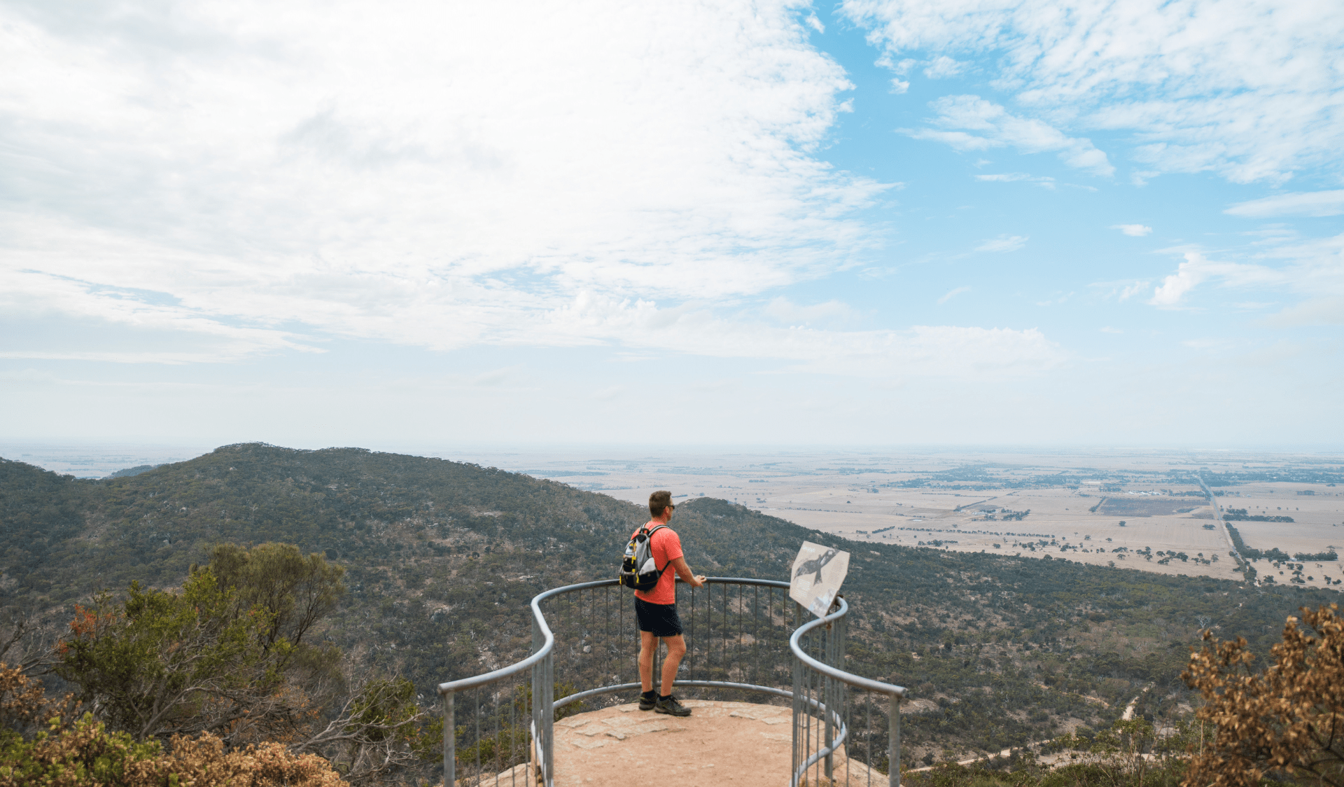
Flinders Peak lookout, You Yangs Regional Park. Image: Visit Victoria
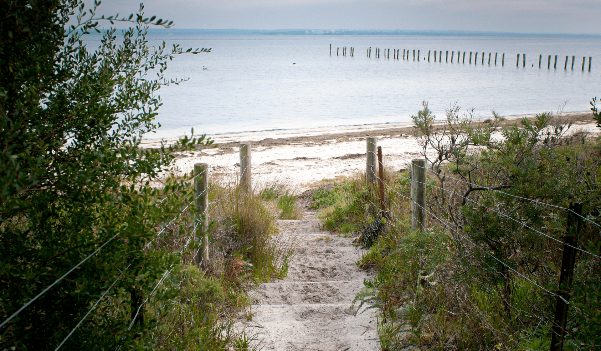
5. The Pinnacles Lookout, French Island National Park
Public transport route: Train to Stony Point Station (Frankston-Stony Point Line), then ferry to Tankerton Jetty
Walk distance: 19.6km
Walk time: 6.5 hours return
If you’re a more experienced bushwalker and after a bigger adventure, consider a full day outing to French Island National Park on Bunurong Country.
The island is accessible by public transport from Melbourne CBD. You’ll need to take the train to Frankston then switch lines to Stony Point Station. From here, it’s a 12-minute ferry ride from Stony Point across to French Island. Tickets are available for purchase on the ferry or online.
From Tankerton Jetty, take the Old Coast Road Track to Fairhaven Campground (5km, 1.5 hours one-way). Two lookouts along the way provide views across saltmarsh and Western Port to Hastings.
Keep an eye out for a koala or local birdlife including Purple Moorhen, Swamp Harriers or Cape Barren Geese.
From Fairhaven Campground, the West Coast Wetlands Walk (9.6km, 3.5 hours return) climbs to The Pinnacles Lookout 60m above sea level. It offers expansive views of Phillip Island, Western Port and the wetlands.
To make the most of your journey, consider staying overnight on the island. Camping is free at Fairhaven Campground (bookings required). Note: only basic toilet facilities and water supplies (purify or boil first) are provided.
Read more: French Island National Park Visitor Guide
French Island National Park
Be prepared and stay safe
Before leaving home, check the latest conditions and park closures on the Parks Victoria website. Use the search field to find the park you are looking for. If a park is closed or has safety issues, a red or orange tab will appear at the top of the park webpage. Then, click the tab to find out further details.
Always remember to check Public Transport Victoria’s website or app to plan your journey and be aware of any delays or schedule changes.
See our visitor guides for park summary information including suggested activities, safety and regulations and a list of facilities available.
- Download a handy day trip checklist (PDF)
- Find park information in your language
- Read these bushwalking safety tips