

Explore
7 Mile Flat Camping Area
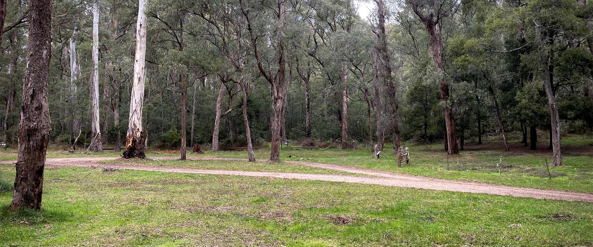
7 Mile Flat Camping Area is located on Taungurung Country, nestled in the Alpine National Park on one of the flats of the Howqua River, it is an idyllic campsite for the whole family to enjoy. 7 Mile Flat is free and no bookings are required (unless camping with a horse). The Alpine National Park provides the opportunity for a range of recreational activities, including hunting, bushwalking, four wheel driving, horseriding and basic camping. Enjoy a picnic on the banks of the scenic Howqua river or embark on a challenging 4WD, admiring breathtaking views of the Victorian High Country.
Camping with a horse is permitted at 7 Mile Flat within the season (refer below for dates) however please note both horseyards and portable yards must be booked prior to your arrival. Horseyards can be reserved in advance (during the season). No fees apply.
Horse numbers are limited at designated horse camping areas and horses are only permitted on certain tracks throughout the Alpine National Park. Please refer to the Greater Alpine National Parks Management Plan for area specific regulations.
This site is accessible by 2WD however ensure you check track conditions by calling 13 19 63 prior to undertaking your trip as road conditions may be unsuitable for horse floats.
Horse riding season:
- 1 November - 31 May inclusive (for all areas except Lovicks Hut)
- 1 December - 30 April inclusive (Lovicks Hut)
BOOK NOW
Things To Do
This area is well known for its wildlife. Keep an eye out for:
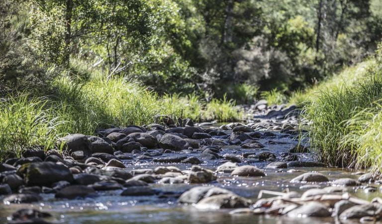
Howqua Feeder Trail
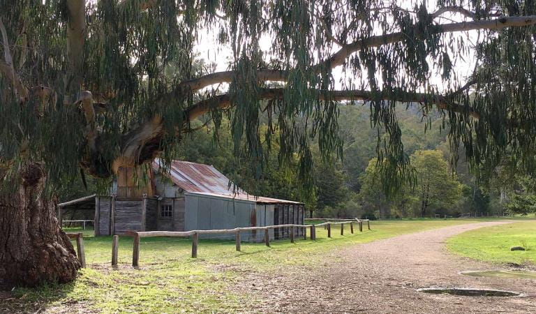
Bushwalking in Howqua Hills Historic Area and the Alpine National Park
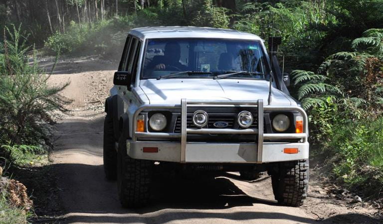
Four-wheel driving in Howqua Hills Historic Area and Alpine National Park
How to get there
7 Mile Flat Camping Area
7 Mile Flat is located just over an hours’ drive from Mansfield via Merrijig. Take the Howqua Track, a gravel road 3km past the Merrijig town ship on the Mount Buller Road. Continue onto Brocks Road and into the Alpine National Park.
Be prepared as it can be rocky and slippery in places so drive to the conditions. Call the local Parks Victoria office or check the website to gain an understanding of track conditions prior to undertaking your trip.
Sites
When you're there
Please ensure you take all your rubbish home as there are no bins located in the camping area.
Bringing your own firewood is recommended at all popular campsites throughout the Alpine National Park. If you need to collect firewood, please remember to collect off the ground only. Ensure you use an existing fireplace wherever possible. Be aware, visitors are unable to access areas of the Alpine National park by vehicle from the Thursday after Kings birthday weekend to the Thursday before Melbourne Cup Day due to seasonal road closures.
Dogs are strictly prohibited throughout the Alpine National Park.
Need to know
7 Mile Flat Camping Area
Accessibility
Visiting a park can be more of a challenge for people with disabilities, however in Victoria there are a wide range of facilities to help people of all abilities enjoy our wonderful parks around the state.
Assistance dogs are welcome in Parks Victoria parks and reserves. Entry requirements apply for parks and reserves that are usually dog prohibited, such as national parks.
Safety
- Stay on formed roads and tracks at all times.
- Take care tree limbs may fall, avoid camping under trees especially in high winds.
- Be aware of snakes.
- The weather in the Alps is highly unpredictable be prepared for all weather conditions – always carry snowchains.
- Be mindful of fire danger on hot windy days – check conditions prior to undertaking your trip.
Change of Conditions
Nature being nature, sometimes conditions can change at short notice. It’s a good idea to check this page ahead of your visit for any updates.
-
Pinnacles Lookout Day Visitor Area (Alpine National Park, Pinnacle Ck - East Branch Natural Catchment Area)
Fire Recovery Works
The Pinnacles Lookout Day Visitor area is currently closed to visitors for repair works to reinstate assets damaged during the 2025-26 Wonnangatta Dargo Complex fires. Works are expected to be finished by the 1st of November 2026 and access will be reinstated.Fire Recovery Works
The Pinnacles Lookout Day Visitor area is currently closed to visitors for repair works to reinstate assets damaged during the 2025-26 Wonnangatta Dargo Complex fires. Works are expected to be finished by the 1st of November 2026 and access will be reinstated.Fire Recovery Works
The Pinnacles Lookout Day Visitor area is currently closed to visitors for repair works to reinstate assets damaged during the 2025-26 Wonnangatta Dargo Complex fires. Works are expected to be finished by the 22nd of December 2026 and access will be reinstated. -
Beveridge Station Camping Area (Alpine National Park, UNKNOWN)
Change of Condition Alpine NP – Road & Track Closures:
Dargo High Plains Road, Blue Rag Range Track, Basalt North Track, Twins Track, Twins Jeep Track, Mount Murray Track North and Gunns Track.Due to current weather conditions at alpine elevations and in the interest of public safety Victoria Police, Department of Energy Environment and Climate Action (DEECA) and Parks Victoria will be closing the above-mentioned high elevation alpine roads and tracks in State Forest and the Alpine NP. These tracks will now remain closed until seasonal closure openings on the 29th of October 2026. -
Alpine National Park
Alpine National Park: road and track closures
These roads and tracks are closed due to current weather conditions at alpine elevations:
- Dargo High Plains Road
- Blue Rag Range Track
- Basalt North Track
- Twins Track
- Twins Jeep Track
- Mount Murray Track North
- Gunns Track
These tracks will remain closed until seasonal closure openings on 29 October 2026.In the interest of public safety, Victoria Police, Department of Energy Environment and Climate Action (DEECA) and Parks Victoria closed these high elevation alpine roads and tracks in State Forest and the Alpine National Park.Cobberas, Ingeegoodbee and Macfarlane Flat Track closures.
The following tracks have been significantly damaged by storms and floods and are currently closed to motor vehicles to ensure public safety and environmental protection:- Cobberas Track
- Macfarlane Flat Track
- Ingeegoodbee Track
The tracks are likely to remain closed to motor vehicles until detailed site assessments have been completed. It is difficult to predict when planning approvals will be obtained to allow for repairs to commence.
Before visiting, visitors should check the Parks Victoria website for the latest information about their destination.Attachments: FAQs for Cobberas ingeegoodbee and mcfarlane tks (128KB)
Ground shooting operations targeting deer
Control operations (ground shooting) targeting deer are undertaken in this area. The Park will remain open to visitors during these operations.For more information about Parks Victoria deer control to protect biodiversity, please visit: https://www.parks.vic.gov.au/get-into-nature/conservation-and-science/conserving-our-parks/feral-animals/deer -
Notices Affecting Multiple Parks
Planned aerial shooting operations targeting deer
The following Parks will have some areas closed while aerial shooting operations are undertaken.Alpine National Park - Bogong High Plains, Dinner Plain, Mt FeathertopMt Buffalo National Park16-20 November & 23-27 November 20261-5 and 8-12 February 2027Popular visitor sites, walking trails and campgrounds are generally excluded from treatment areas and will remain open to visitors.More information and maps with details on access restrictions be posted here in the coming weeks.Ground shooting operations targeting deer
Control operations (ground shooting) targeting deer are undertaken in this area. The Park will remain open to visitors during operations. -
Ryders Huts/Campbell Yards (Bundara - Cobungra Remote and Natural Area, Alpine National Park)
Ryders Yard Hut
The floor in Ryders Hut is undergoing maintenance. Due to this the hut will be closed. The two other huts at this site can still be used as an emergency shelter.Ryders Yard Hut
The floor in Ryders Hut is undergoing maintenance. Due to this the hut will be closed. The two other huts at this site can still be used as an emergency shelter.