Explore
Cape Howe Marine National Park
Cape Howe Marine National Park (4,060 ha) is the fourth largest Marine National Park in Victoria and is located on the eastern border of New South Wales near Gabo Island.
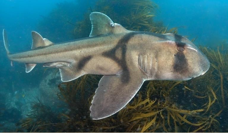
The marine animals and plants in the park reflect its location and include many species associated with both the warmer waters of the East Australian Current as well as as cooler waters from the west. As such there are a number of species of fish including sharks and rays that are not often seen in other parts of Victoria.
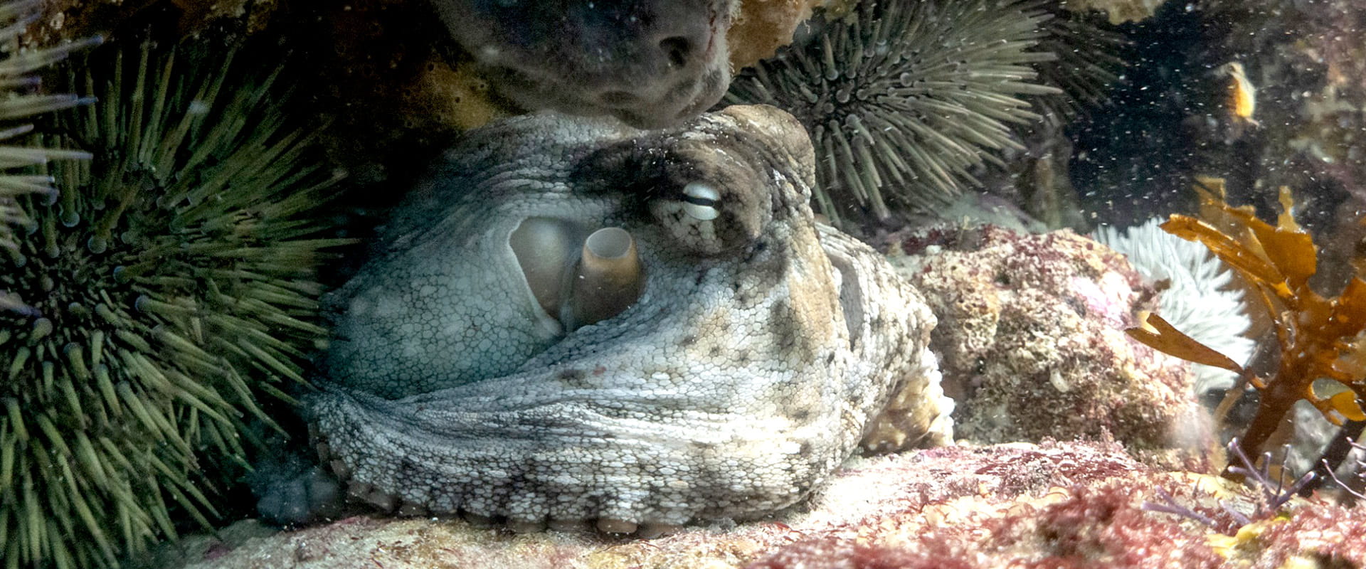
Cape Howe Marine National Park contains extensive shallow and deep subtidal reefs interspersed by large areas of soft sediments and beds of shells. The park is alive with a variety of fish, with an assortment of warm and cool water species like Eastern Blue Groper, Purple Wrasse, Blue-Throated Wrasse, and Herring Cale. Kelp forests that form a major habitat for reef species were once extensive in the park but in recent years have been heavily impacted by overabundant native Black-spined Sea Urchins that have increased in numbers due to a warming and strengthening East Australian Current.
Southern Right Whales and Humpback Whales regularly occur in the park with hundreds of humpbacks passing through the park on their migration between the tropics and Antarctic waters, sometimes followed by pods of Killer Whales. Little Penguins are common too, foraging from the rookery at Gabo Island. Both Australian and New Zealand Fur Seals are found within the park. In 2021 an critically endangered Grey Nurse Shark was observed in the park during monitoring programs.
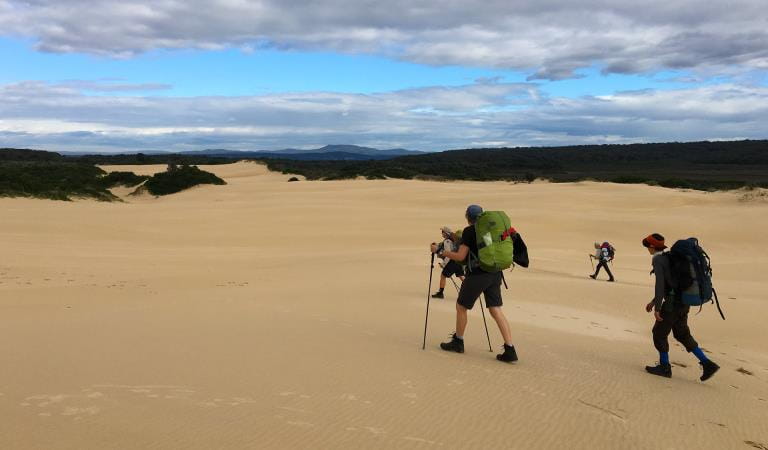
Bordering the park is Croajingolong National Park with sand dunes formed from ancient pink granite and purple sandstones which outcrop near Cape Howe. There is also a small intermittent estuary, the outflow from Lake Wau Wauka, running directly into the park.
Things To Do

Diving in Cape Howe
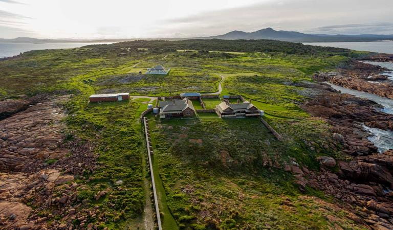
Gabo Island
Wilderness Coast Walk
Wildlife
Tours and adventure experiences in parks
One of the best ways you can get into nature is with a Licensed Tour Operator.
There are more than 400 Licensed Tour Operators across Victoria who are ready and waiting to help you experience and connect with Victoria’s spectacular parks and waterways.
Discover more than 60 different types of nature-based experiences including hiking, mountain biking, boating, four-wheel driving, indigenous culture tours, birdwatching, surfing, diving and so much more.
Licensed Tour Operators know all the best places to go and will plan and prepare your visit to ensure you are safe and can enjoy your nature-based adventure to the fullest.
How to get there
Cape Howe Marine National Park
When you're there
Download the Cape Howe Marine National Park map.
Need to know
Cape Howe Marine National Park
Accessibility
Visiting a park can be more of a challenge for people with disabilities, however in Victoria there are a wide range of facilities to help people of all abilities enjoy our wonderful parks around the state.
Safety
Cape Howe Marine National Park is one of the most remote parts of Victoria and visitors to the area should be fully prepared for all possible conditions. Beware of sudden changes in weather, strong currents, and changing sea conditions when in the park. Always consult tide charts before going boating. When boating, always let someone know before you go, including an estimated time of arrival. Beware of sudden changes in weather, especially when boating on open water.
SCUBA Diving should only be undertaken by trained and experienced divers with local knowledge. Beware of strong currents and undertows when snorkelling or diving.
How we keep it special
We aim to ensure that our valued parks, and the natural assets and cultural heritage they hold, can be enjoyed now and by future generations.
The management plan for Cape Howe Marine National Park directs management for the park until it is reviewed.
The East Gippsland Conservation Action Plan provides directions for environmental conservation management across the diverse landscape, including Cape Howe Marine National Park. This covers the varied ecosystems across the area which range from heathlands to forests, woodlands, wetlands and other marine environments.
Fishing in the Right Place
Download the Victorian Recreational Fishing Guide app which has a boundary locator, using a smart phone's internal GPS to determine whether the user is in, or approaching, or outside a Marine National Park or Sanctuary.


