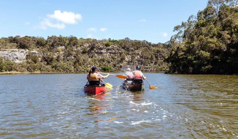
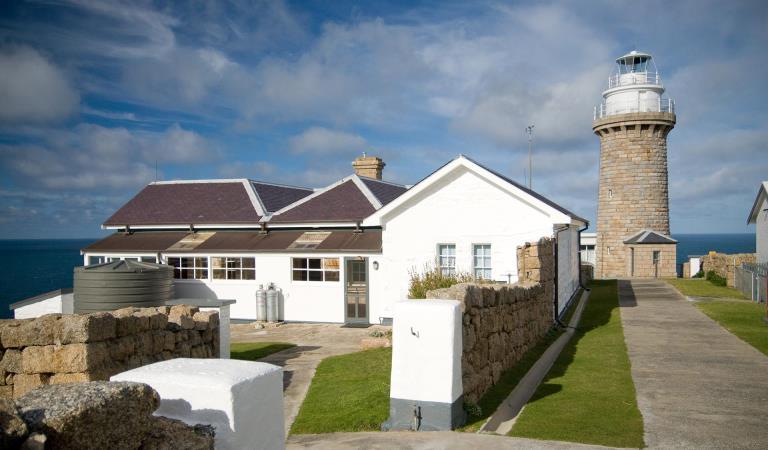
The Wilderness Coast Walk extends along the wild coast of far-east Gippsland. Trek isolated stretches of coastline, including the Sandpatch Wilderness Area, past the historic Point Hicks Lighthouse, secluded coves and through pristine landscapes teeming with native wildlife.
Escape civilisation on the ultimate long-distance walk through remote wilderness. The Wilderness Coast Walk stretches 100km along the far-eastern coast of Victoria.
Start at Bemm River on the sandy shores of Croajingolong National Park. You can finish your trek at Mallacoota or extend your hike across the New South Wales border into Nadgee Nature Reserve.
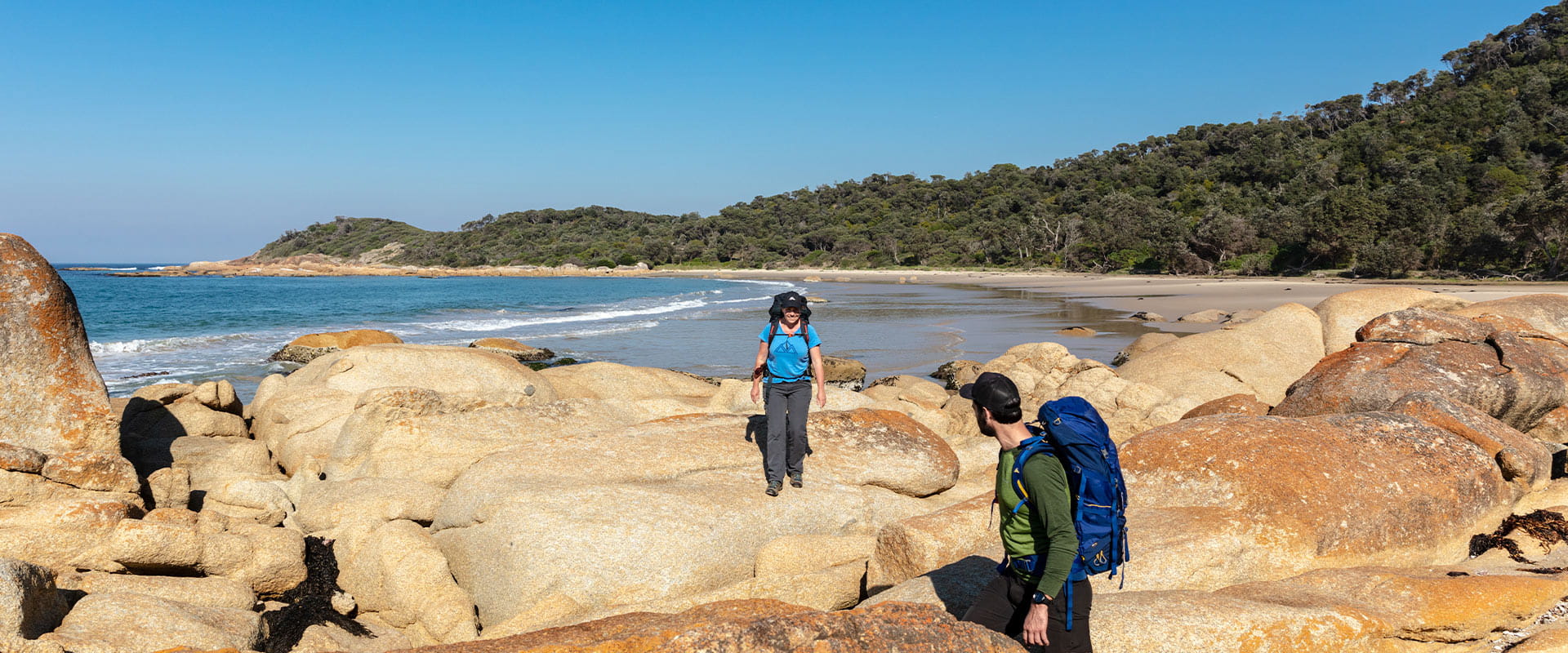
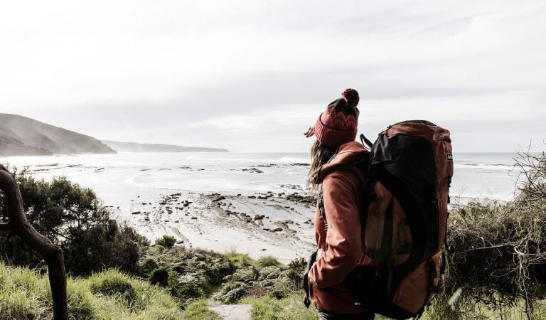
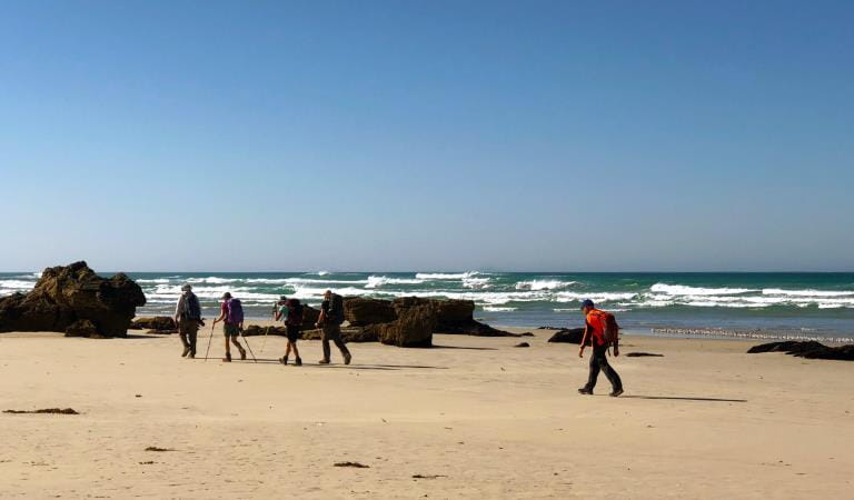
Explore isolated beaches, sand dunes and vast estuaries as you trek the rugged coastline. Be prepared for a true wilderness experience that will see you scrambling over rocky headlands and boulders, crossing river estuaries (which may require swimming), walking long stretches of sand, and hiking through thick vegetation on ill-defined paths.
This walk is not for the faint-hearted. Hikers need to be experienced and prepared for challenging conditions. The walk is divided into three zones and you will need experience and confidence navigating from topographic maps.
Advance bookings are required for camping along the walk. Groups are limited to eight people and a two-night maximum applies at remote campsites to protect the natural environment.
The section of the Wilderness Coast Walk east of Mallacoota must be booked through NSW National Parks and Wildlife Service. Call the Merimbula office on (02) 6495 5000.
Sandpatch Zone
This section spans from Shipwreck Creek to Wingan Inlet and is about 26km. You will walk along open beaches and coastal heathlands. Purchase Mallacoota 8822-N map to help plan this section of the walk.
Rame Head Zone
This section spans from Wingan Inlet to Thurra River and is about 22km. It covers mostly beaches and some coastal forest. Purchase Cann – Point Hicks Map 8722-N to help plan this section of the walk.
If you plan to camp at Wingan Inlet, book this stay in the Rame Head Zone. The campground has an area dedicated to overnight hikers completing the Wilderness Coast Walk. No water is available any time of year in this section.
Clinton Rocks Zone
This section spans from Thurra River to Bemm River and is about 28km. There is a large section of rocks to negotiate at Clinton Rocks. Purchase Cann–Point Hicks Map 8722-N to help plan this section of the walk.
This section involves crossing the entrances of Sydenham Inlet and Tamboon Inlet. Boat transport may need to be organised, or low tide required, if these inlets are open to the ocean. Call Parks Victoria to check latest conditions.
BOOK NOW
How to get there
Walk the Wilderness Coast
The walk can be reached from a number of locations along the coastline. Two-wheel drive access is available at Bemm River, Thurra River, Wingan Inlet, Shipwreck Creek and Mallacoota Inlet. Check road conditions before you arrive at the park.
Before starting your walk, you will need to source maps, tide charts, weather reports and relevant track notes.
When you're there
Bemm River to Clinton Rocks, 14km
Clinton Rocks to Thurra River, 14km
Thurra River to Wingan Inlet, 20km
Wingan Inlet to Benedore River, 14km
Benedore River to Mallacoota, 18km
Mallacoota to Nadgee (NSW), 55km
Walking and camping
The Sandpatch and Cape Howe Wilderness areas were proclaimed in 1992 to ensure landforms and native plant and animal communities were left unaltered or unaffected by the influence of European settlement of Australia. As a result, there are no signposts or walking track markers and in some sections the track becomes ill-defined.
Minimal impact bushwalking
Walkers should practice minimal impact bushwalking, to maintain the remote environment and wilderness experience for others. A campsite should be left as if no one has been there. Remember - carry in, carry out.
Do not formalise campsites, such as using timber washed up from the sea to construct picnic tables and seats, as this undermines the wilderness experience for other visitors.
Clean boots and camping equipment thoroughly before entering the area to reduce the chance of weed seeds or the destructive fungus Phytopthora being walked in.
Toilets
There are only a few toilet facilities at established campgrounds along the walk. A hand-trowel is recommended so you can bury solid waste to a minimum depth of 15cm, 100m from water sources. This will help to prevent diseases like giardia and protect the highly valuable water quality of the undisturbed water catchments along the walk. Please carry out tissues, sanitary products and all other rubbish.
Wash 50m away from creeks and lakes, and pour the waste water on the ground to filter through the soil. Detergents, toothpaste and soap (even biodegradable types) harm fish and other aquatic life. Use gritty sand and a scourer instead of soap to clean dishes.
Water
Water availability is seasonal and cannot be guaranteed. No water is available in the Rame Head Zone any time of year. You must carry an adequate supply of water with you. Consider pre-organising water drops along the walk, and boiling or filtering water if found along the way.
Food
Store your food in locked containers. Wildlife such as Brushtail Possums and Lace Monitors have sharp claws and teeth, which they will use to get to your food.
Safety
Phone coverage is unlikely, with only some coastal peaks offering reception. Use of an Emergency Position Indicating Radio Beacon (EPIRB) is encouraged.
River crossings are best attempted at low tide and as far upstream from the river mouth as possible. After heavy rain, streams and lakes may be swollen and open to the ocean making crossing dangerous. The dangers of crossings may also be exacerbated during high tides. Crossing river entrances and creeks requires extreme care. Up-to-date weather and tide observations are essential to avoid disappointment and unnecessary risks.
Weather conditions may change rapidly and temperatures may be lower than expected in coastal areas. Ensure you are adequately prepared. Carry extra provisions with you in case of an emergency. Be practical with your itinerary, do not over extend yourself and risk injury.
Bites from sandflies, mosquitoes, marchflies and ticks are common. Use insect repellent and wear long-sleeved shirts and long pants to avoid insect bites. Snakes may be encountered and the wearing of gaiters is recommended.
Need to know
Walk the Wilderness Coast
Change of Conditions
Nature being nature, sometimes conditions can change at short notice. It’s a good idea to check this page ahead of your visit for any updates.
-
Notices Affecting Multiple Sites
Peachtree Creek Camp Closed for Upgrades - May / June 2026
Peach Tree Creek campground will be closed from April 30 2026 whilst upgrades to the campground are being completed.No access to the boat ramp, jetty or toilet block is possible.Works are expected to be completed by end of June 2026.Alternative access to Tamboon Inlet is available via the boat ramp at Furnell Landing, Tamboon Rd. See map here.Tracks and areas closed in the Croajingolong National Park
The following areas are closed because of the 2019/2020 bushfires and coastal erosion caused by heavy rainfall. Parks Victoria continue to maintain surveillance and security of these areas as works continue to reinstate access.· Point Hicks Lightstation· Saros Track· Sledge TrackThe Wilderness Coast Walk is open all the way from Bemm River to Mallacoota. Staff have recently marked sections of the track however, combined flood and fire damage have made some areas more difficult to negotiate. Hikers must be able to self-navigate with a map and compass.The following walking track is closed:· Wingan Inlet Rapids WalkThe following jetties around Mallacoota are closed:· Kingfish Point. Goanna BayThe following tracks remain closed due to storm damage· Miners Track -
Allan Head (Croajingolong National Park)
Allan Head Jetty Closure
The Allan Head jetty is temporarily closed for public safety. Visitors are advised that the Allan Head day visitor area remains open, however access onto the jetty is restricted. -
Goanna Bay (Croajingolong National Park)
Goanna Bay Jetty Closure
The Goanna Bay Jetty is temporarily closed for public safety. Visitors are advised that the Goanna Bay day visitor area remains open, however access onto the jetty is restricted. -
Kingfish Point (Croajingolong National Park)
Kingfish Point Jetty Closure
The Kingfish Point Jetty is closed for public safety. Visitors are advised that the Kingfish Point day visitor area remains open. -
Notices Affecting Multiple Parks
Peachtree Creek Camp Closed for Upgrades - May / June 2026
Peachtree Creek Creek campground is closed from 30 April 2026 whilst upgrades are being completed.No access to the boat ramp, jetty or toilet block is possible whilst works are underway.Works are expected to be completed by end of June 2026.Alternative access to Tamboon Inlet is available via the boatramp at Furnell Landing at the end of Tamboon Rd. See here for map.Planned aerial shooting operations targeting deer
Control operations (aerial shooting) targeting deer are planned for this area. During operations parts of the Park will be closed to visitors. More information on closures will be posted a minimum of 4 weeks prior to commencement.Visitors are advised to check the Change of conditions listing prior to arrival for up to date information and maps.For more information about deer control to protect biodiversity, please visit this link.Ground shooting operations targeting deer
Control operations (ground shooting) targeting deer are undertaken in this area. The Park will remain open to visitors during operations.
For more information about deer control to protect biodiversity, please visit our Deer page.
-
Mueller Camp (Croajingolong National Park)
Mueller Inlet Camp closed due to flooding
Mueller Inlet camp is closed due to flooding - all sites and the carpark are inaccessible.Rangers will monitor the river levels and re-open the site as soon as possible.Alternative camping is available nearby at Thurra Camp. -
Croajingolong National Park
Planned aerial shooting operations targeting deer
Control operations (aerial shooting) targeting deer are planned for this area. During operations parts of the Park will be closed to visitors.Partial closure of Croajingolong NP from June 9 - June 12 2026 (inclusive).Attachments: Information_CapeHowe_Aerial_9-12Jun (252KB)
-
Genoa Peak (Croajingolong National Park)
Genoa Peak Road -4WD only
The Genoa Peak Road is open to 4WD vehicles only and is NOT advised for 2WD vehicles.The road has had major flood damage resulting in wash outs and deep rutting.Genoa Peak Walking Track remains open.
Similar experiences at other parks
Great Ocean Walk
Great South West Walk
Wilsons Promontory Lightstation
Wilsons Promontory Southern Circuit Overnight Hikes
Grampians Peaks Trail
Falls to Hotham Alpine Crossing
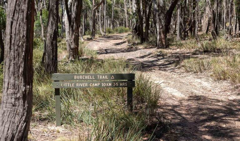
Burchell Trail