Some of Lorne's best waterfall walks start from Sheoak Picnic Area. Trails to Henderson Falls, Phantom Falls, Sheoak Falls, Won Wondah Falls and Kalimna Falls all depart from here. If you want a break from your beachside holiday - or your Great Ocean Road drive - bring a picnic and take a hike.
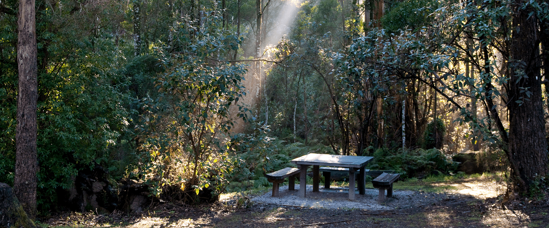
Sheoak Picnic Area has a pretty good claim to be the waterfall capital of Victoria. Walks from this clearing surrounded by tall rainforest trees lead to at least six waterfalls through some gorgeous rainforest scenery. Some of the trails are along old timber tramway routes from the days when these forests were logged.
The waterfall walks of Sheoak Picnic Area make for a great day out in the Otway hinterland for people staying in nearby Lorne or one of the other seaside townships along the coast. Alternatively, this is a fantastic break from your drive along the Great Ocean Road. Sheoak Picnic Area is well-equipped for families with toilets, a picnic shelter and gas barbecues.
Henderson Falls - 3km return, 1 hour
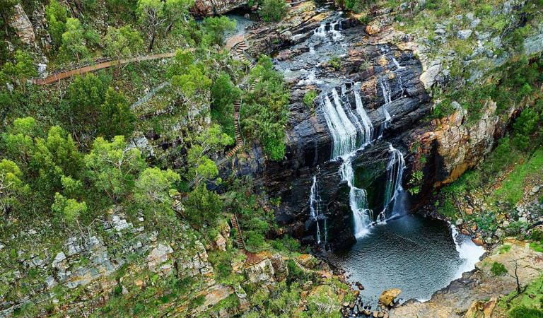
The Henderson Falls Walk gently climbs from Sheoak Picnic Area, through dense wet forest shadowed by towering eucalypt trees. Finish your journey at the base of Henderson Falls, cascading over a moss-capped cliff face to a small pool below. There's also a short diversion to see Won Wondah Falls.
Kalimna Falls - 8.4km return, 4 hours
See two waterfalls for the price of one on this walk along an old timber tramway used for transporting timber to Lorne Pier from the 1890s-1920s. Wind through a deep valley carved by Sheoak Creek to see Lower Kalimna Falls cascading over an undercut rock ledge before pushing on to Upper Kalimna Falls framed by lush moss-covered trees.
Phantom Falls - 8.6km return, 3 hours
This walk from Sheoak Picnic Area to Phantom Falls is packed with highlights. You'll see Won Wondah Falls, Henderson Falls and the lost world of The Canyon on your way to Phantom Falls. Turn the walk into a circuit by continuing down to Allenvale and back to Sheoak Picnic Area along the unsealed road.
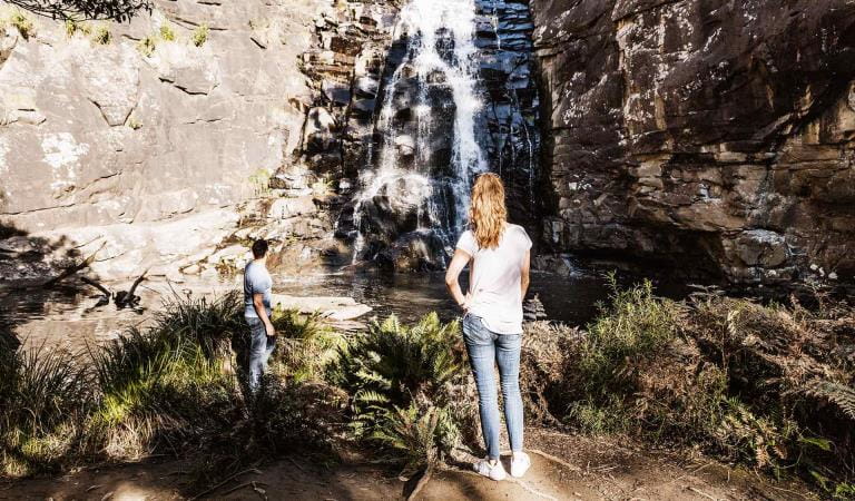
Sheoak Falls - 3.6km one way, 2 hours
Weave your way through the tall wet forest synonymous with the beautiful Otway Ranges along Sheoak Creek. Meander through coastal woodland via waterfalls and out to the coastal vistas of the Great Ocean Road. Sheoak Creek plunges into a tranquil pool at Sheoak Falls before continuing down to the ocean. If you'd prefer not to return to Sheoak Picnic Area via the same route, you can arrange to be picked up at Sheoak Falls Carpark.
Castle Rock - 5km return, 3 hours
Castle Rock Walking Track is in the Great Otway National Park near the town of Lorne. The trail starts at Sheoak Picnic Area and is approximately 5km return (3 hours) weaving uphill through coastal forest to a rocky outcrop with views over Cumberland River and the coast.Things to do
Sheoak Falls
How to get there
Sheoak Picnic Area
When you're there
Need to know
Sheoak Picnic Area
Accessibility
Change of Conditions
Nature being nature, sometimes conditions can change at short notice. It’s a good idea to check this page ahead of your visit for any updates.
-
Notices Affecting Multiple Sites
Great Otway National park sites closed due to major flood damage
Severe thunderstorms and flash flooding on 16 January 2026 has caused significant damage across parts of the eastern Great Otway National Park.For public safety, the following areas are closed until further notice while assessments and clean-up works are undertaken:Closures included but are not limited to :Erskine falls is limited to the top viewing platform. Access to the base of the falls and along the river track is closed.Roads & TracksWye RdWye TrackCurtis TrackGodfrey TrackJamieson Track
Walking tracks
St George
Phantom falls
Lemonade ck
Kalimna
Henderson
Sheoak FallsSheoak picnic ground walking Nature LoopCumberland
Cumberland Garvey Link
Kalimna Garvey LinkCora LynnErskine Falls Walking TrackWon WondahMany roads, tracks and visitor facilities are impacted by debris, flooding and unstable conditions.The Great Ocean Road has been impacted,Always follow safety signage and directions from response crews, and do not enter any closed areas.Thank you for your patience and understanding as works are undertaken to make these popular areas safe to visit again.
Great Ocean Walk destination car parking at the Twelve Apostles visitor center during summer & Peak Visitation periods
During the busy peak visitation period at the Twelve Apostles precinct (from summer through to early autumn including school holidays, public holidays, long weekends & busy peak visitation weekends concluding after Chinese New Year / Easter), due to the sheer volume of visitors onsite, a traffic management program is in place to maximize public safety & ensure visitor experience. If you are planning to park your vehicle at the Twelve Apostles before walking the Great Ocean Walk (or sections of it including section 8) during this period, please communicate this information to onsite traffic control staff at the entrance & they will do their best to accommodate your vehicle in the main carpark. This will avoid your car remaining in the overflow carpark area which needs to be cleared and locked each night. Similarly, if you arrive at the Twelve Apostles to park your car at a time when traffic control are not onsite, or setting up, please park your vehicle in the main carpark area. Your assistance is greatly appreciated! -
Great Otway National Park
Partial park closure of Great Otway National Park: Fire impact
Great Otway National Park has been subject to flood and fire, which has resulted in the need to close parts of the park for public safety.
Escalated fire risk remains in parts of the Great Otway National Park and all sites north Colac-Lavers Hill Road and West of Forrest will be closed until 9 February, unless conditions improve and are favourable for an earlier re-opening.
Keep updated via Emergency Victoria.


