Conservation Action Plans
Parks Victoria is now adopting a best-practice approach to conservation planning for managing the extensive parks estate across Victoria.
Using the Conservation action planning methodology, we can identify and focus on strategies that will achieve the greatest improvement in the overall health of ecosystems. This planning process is being used by many conservation agencies around the globe, and can help us share information with international partners when tackling similar problems.
The Conservation Action Plans (CAPs) cover eighteen parks landscapes classified according to ecological attributes, landforms and administrative boundaries. They are developed through workshops with Traditional Owners, partner agencies, stakeholders, researchers, and scientists. These workshops identify the priority threats to conservation assets and what management strategies and actions will improve their condition over the next 15 years. After 5 years, the plans will be reviewed, and progress evaluated against implementation of priority actions, threat mitigation objectives and outcomes identified for conservation assets.
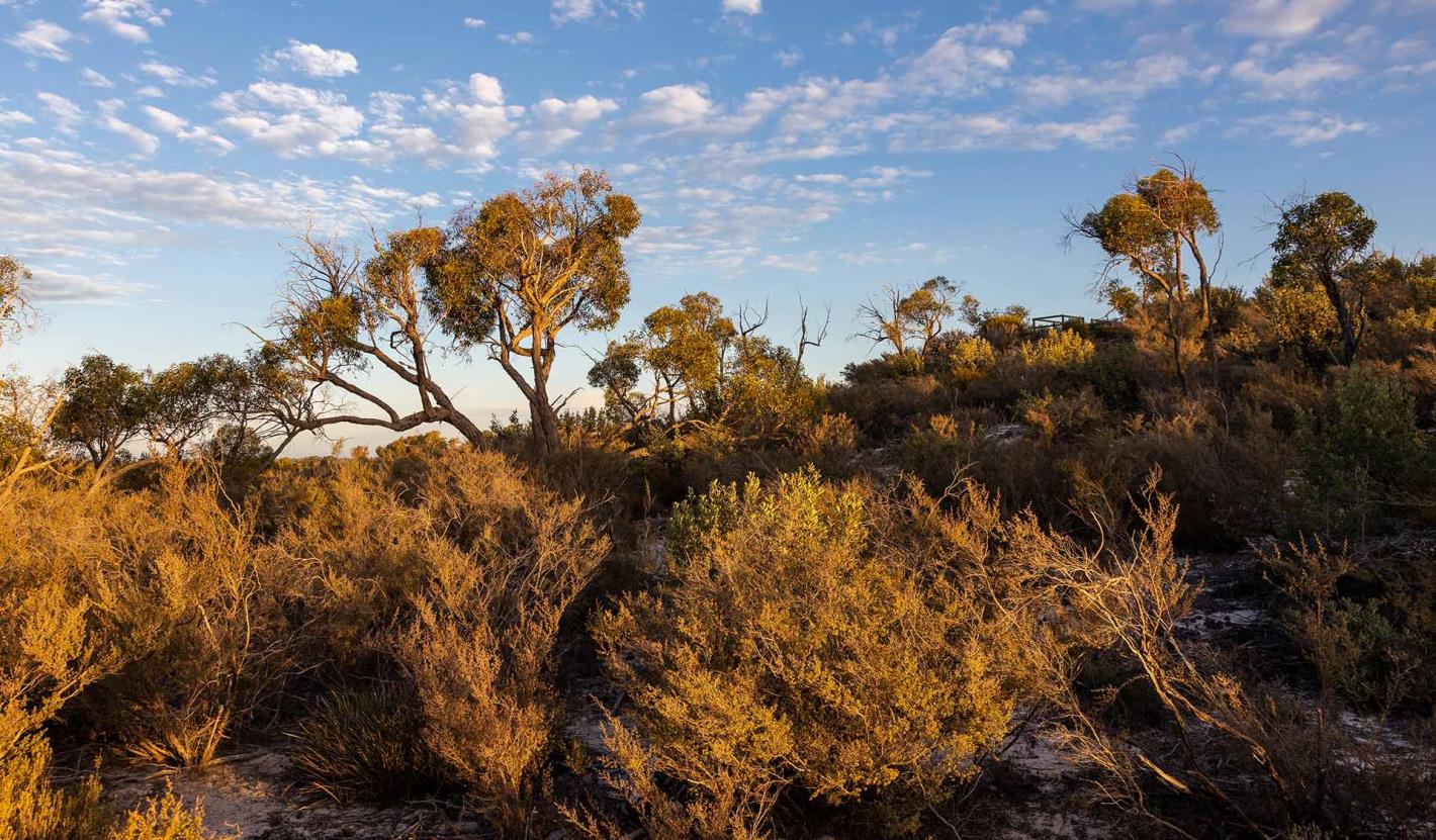
Basalt Plains and Bellarine Peninsula
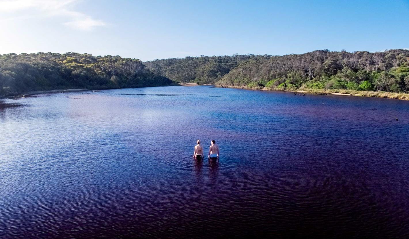
The Basalt Plains and Bellarine Peninsula Parks Landscape covers almost 20,000 hectares of parks and reserves around Melbourne and Geelong, including Port Phillip Bay.
The landscape includes marine protected areas, significant grasslands and a RAMSAR site.
The planning area is home to six flora and fauna communities of state significance, six threatened ecological communities of federal significance, fifty three species listed under international conventions and more than sixty threatened species.

To learn more about the Conservation Action Plan for this area:
East Gippsland
The East Gippsland Parks Landscape contains 96 parks and reserves with a combined area of over 380,000 hectares.
It encompasses some of Victoria’s most pristine parks and reserves, intact watersheds and remnant forests, as well as long stretches of protected coastline and rocky reefs supporting a diversity of marine species.
The landscape is home to 101 nationally threatened species of flora and fauna and many species of state significance.
To learn more about the Conservation Action Plan for the East Gippsland Parks Landscape:
Gippsland Plains and Strzelecki Ranges
The Gippsland Plains and Strzelecki Ranges Parks Landscape contains more than 200 parks and reserves with a combined area of more than 145,000 hectares.
It is characterised by old-growth forests, internationally recognised wetlands, sandy beaches backed by coastal dunes and heathlands, and extensive seagrass beds and rocky reefs.
The landscape is home to more than 2400 native fauna and flora species, including 5 nationally critically endangered and 46 nationally endangered or vulnerable species.
To learn more about the Conservation Action Plan for the Gippsland Plains and Strzelecki Ranges Parks Landscape:
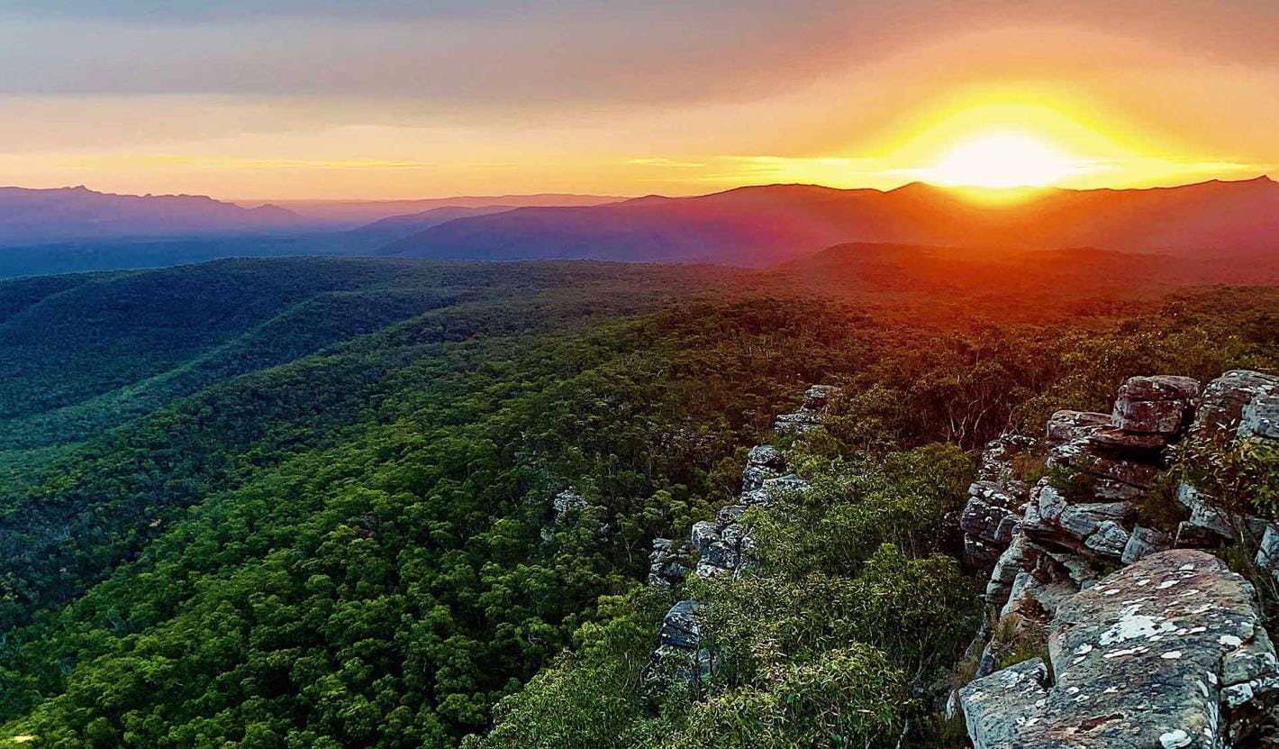
Grampians (Gariwerd)
The Grampians (Gariwerd) Parks Landscape covers 12 parks and reserves with a combined area of 278,164 hectares.
More than one third of Victoria’s native plant species occur in the area, which also provides habitat for 40 nationally-threatened species of flora and fauna.
About three-quarters of the park is designated as a Special Water Supply Catchment Area, providing high-quality water for communities across western Victoria.
To learn more about the Conservation Action Plan for the Grampians (Gariwerd) Parks Landscape:
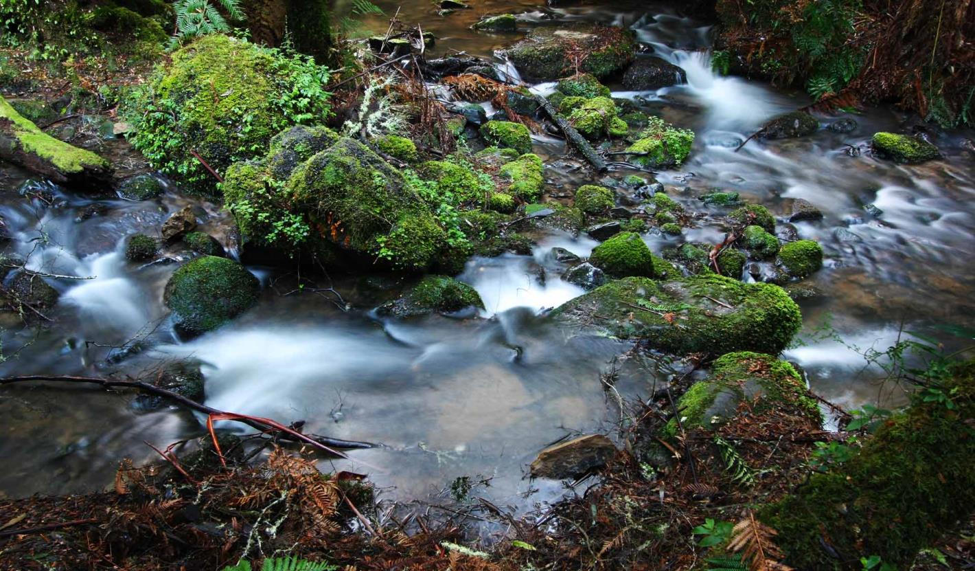
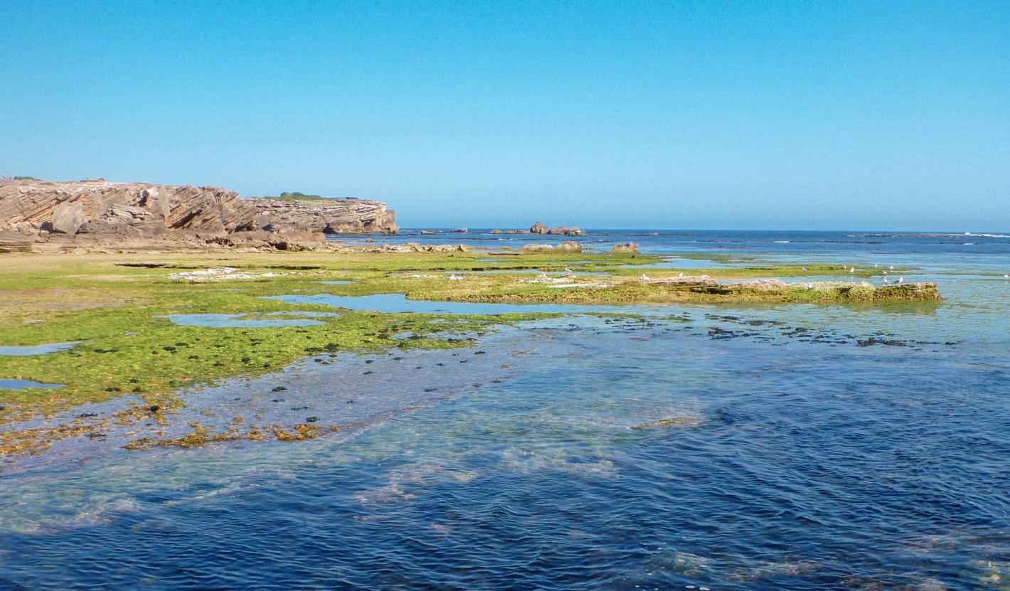
Great Otway
The Great Otway Parks Landscape consists of 47 parks and reserves with a combined area of more than 135,000 hectares.
It is a landscape of old-growth forests, cool temperate rainforests, biodiverse heathlands, a large expanse of essentially unmodified coastline and important marine ecosystems.
It contains more than 7300 fauna and flora species, including 38 nationally endangered or vulnerable species.
To learn more about the Conservation Action Plan for the Great Otway Parks Landscape:
Mallee
The Mallee Parks Landscape consists of more than 350 parks and reserves.
The landscape includes significant areas of remote wilderness featuring sandy dunes, heathlands, woodlands, grasslands, rivers, lakes and wetlands including the Lake Albacutya Ramsar site.
It contains more than 1,000 species of native plants and protects habitat for more than 1,300 native animals, over 80 of which are significant.
To learn more about the Conservation Action Plan for the Mallee Parks Landscape:
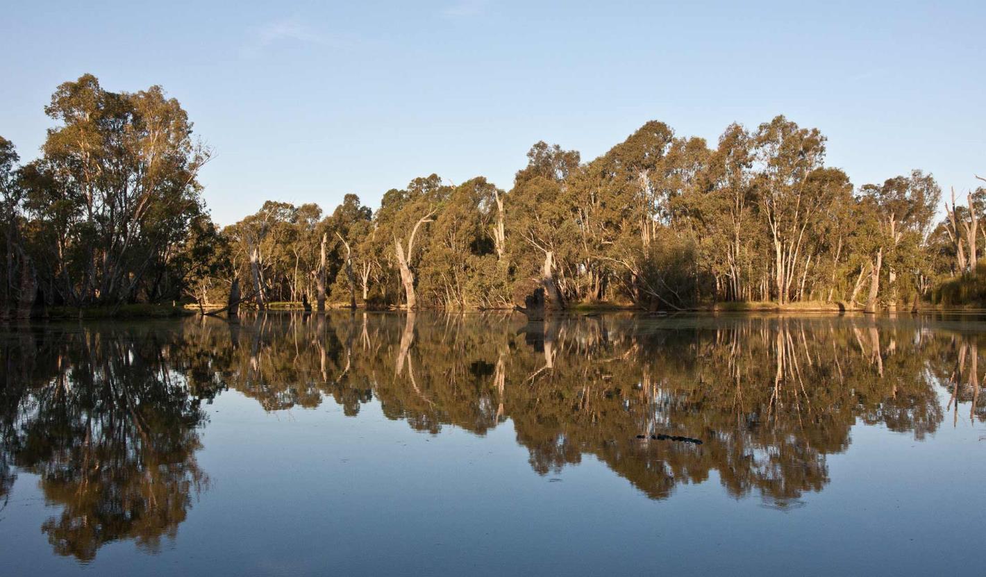
River Red Gum
The River Red Gum Park Landscape is a linear oasis, with many of its ecosystems periodically connected by floodwaters.
The landscape provides diverse, unique, high-quality habitats essential for the persistence of threatened species that rely upon seasonally inundated wetlands and floodplain environments.
It is characterised by iconic large, old trees, vast floodplains, and internationally significant wetlands.
To learn more about the Conservation Action Plan for the River Red Gum Park Landscape:
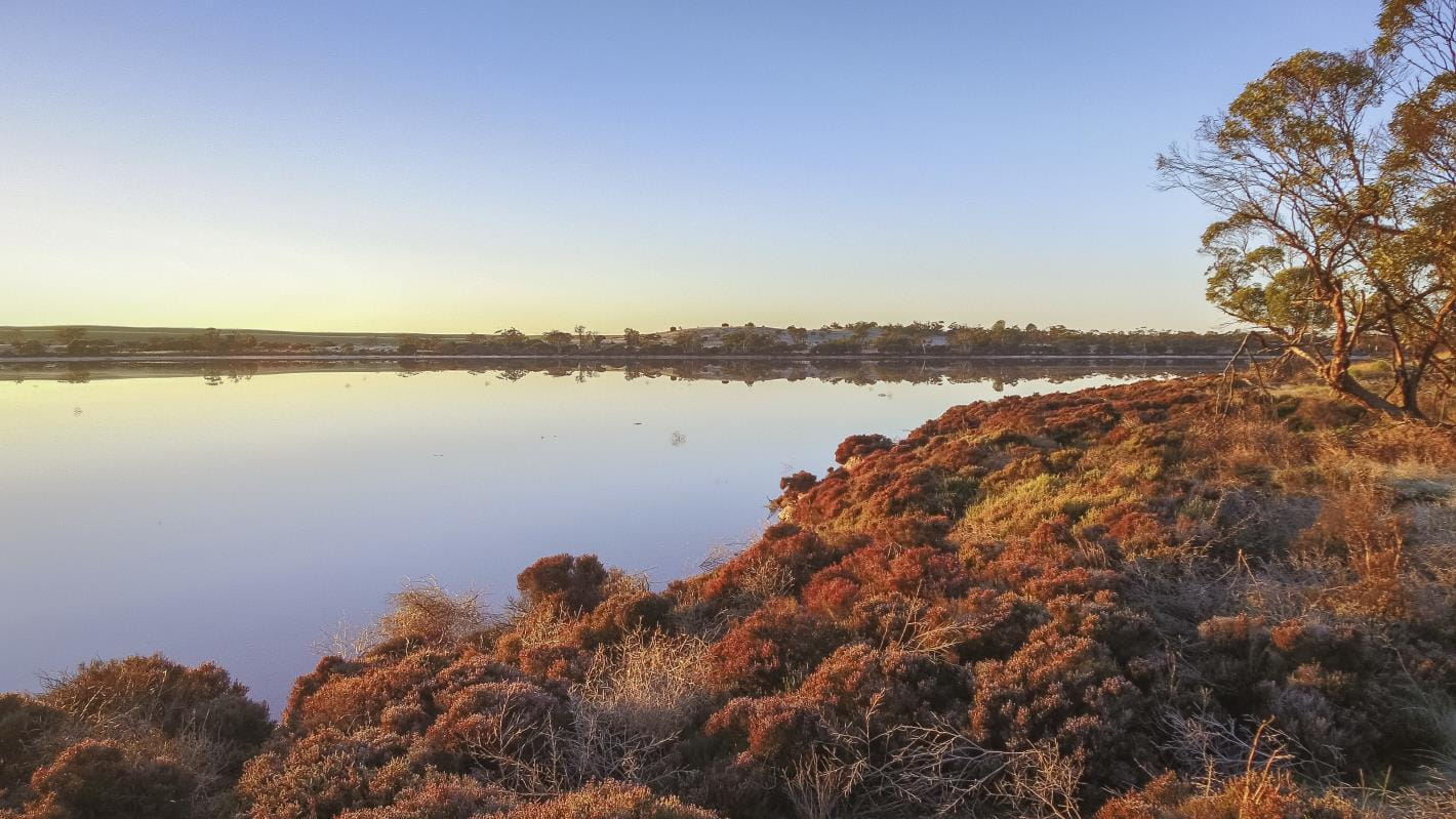
Western Plains and Wetlands
The Western Plains and Wetlands Parks Landscape contains 155 parks and reserves with a combined area of over 62,700 hectares.
It is characterised by endangered grasslands and woodlands, internationally significant lakes and wetlands and important coastal and marine communities.
This landscape is home to more than 1100 native flora and fauna species including five nationally critically endangered and eighteen nationally endangered or vulnerable as well as six vegetation communities of national significance.
To learn more about the Conservation Action Plan for the Western Plains and Wetlands Parks Landscape:
Western Port and South-east Melbourne
The Western Port and South-east Melbourne Parks Landscape contains a range of smaller parks and reserves close to Melbourne, and must balance protecting significant conservation and biodiversity values with visitation and recreation.
It is characterised by a wide variety of different ecosystems types, including heathlands, forests, wetlands, coasts and intertidal and subtidal reefs.
The landscape contains the Western Port Ramsar Site, 28 wetlands of national or state significance and more than 2850 fauna and flora species, including five nationally critically endangered species and 46 nationally endangered or vulnerable species.

To learn more about the Conservation Action Plan for the Western Port and South-east Melbourne Parks Landscape:
Wilsons Promontory
The Wilsons Promontory Landscape consists of five continuous parks and reserves, including several marine protected areas.
The entire promontory is of national geological and geomorphological significance and contains a number of sites of state and regional significance. It is also an important climate refuge for threatened species and ecosystems.
More than 20% of Victoria’s native plant species and half of the state’s bird species occur in the national park.
To learn more about the Conservation Action Plan for the Wilsons Promontory Landscape:
Wimmera
The Wimmera Park Landscape covers more than 350 parks and reserves with a combined area of about 198,000 hectares.
The landscape includes nationally important wetlands, including Victoria’s largest freshwater lake, contains five vegetation communities that are nationally threatened and provides habitat for eighty nationally-threatened species of flora and fauna.
To learn more about the Conservation Action Plan for the Wimmera Park Landscape:
CAPs will be developed for the following landscapes:
- Northern Plains and Box-Ironbark
- Central Highlands
- North-east Melbourne
- Central West Goldfields
- Goulburn and North-east Slopes
- South West
- Greater Alpine